
Historic churches · East of England
St Denys' Church, Little Barford
In or near Wyboston.
St Denys' Church, Little Barford — redundant Anglican church in the village of Little Barford, Bedfordshire, England, UK.

Wikimedia Commons contributors — see linked file page for photographer and licence licence

Plan your visit
- Typical visit
- 30 min–1 h
- Nearest railway station
- St Neots · 4.3 km
- Free entry
Getting there & planning your visit
To visit St Denys' Church in Little Barford, you can take a train to St Neots station, which is approximately 4.3 km away. The church has free entry. The postcode for sat-nav is PE19 6YE.
About
St Denys' Church, Little Barford is a historic church in the United Kingdom. Designed by Arthur Blomfield. Built in the Norman architecture style. Heritage designation: Grade II* listed building. Wikidata describes it as: "redundant Anglican church in the village of Little Barford, Bedfordshire, England, UK". Coordinates: 52.1982°, -0.2785°.
Photo gallery
Heritage listing
St Denys' Church is a redundant Anglican church in the village of Little Barford, Bedfordshire, England. It is recorded in the National Heritage List for England as a designated Grade II* listed building, and is under the care of the Churches Conservation Trust. The church lies to the west of the village of Little Barford, overlooking the River Great Ouse, about 2 miles (3 km) south of St Neots.
From the Historic England List Entry under OGL v3.
From the Wikipedia article
St Denys' Church is a redundant Anglican church in the village of Little Barford, Bedfordshire, England. It is recorded in the National Heritage List for England as a designated Grade II* listed building, and is under the care of the Churches Conservation Trust. The church lies to the west of the village of Little Barford, overlooking the River Great Ouse, about 2 miles (3 km) south of St Neots.
Excerpt from Wikipedia under CC BY-SA 4.0. See the source article linked in Sources below.
Background
History
The oldest fabric in the church is in the nave and the chancel and dates from the Norman era. Alterations and additions took place in the 14th, 15th and 19th centuries. The tower and the clerestory were built in the late 15th century. In 1834 a south chapel was demolished and it was replaced in 1869 by a vestry and organ chamber. The church had been built to serve a medieval village which has since been deserted.
Architecture
The chancel arch dates from the 14th century, as does the two-bay south arcade between the chancel and the vestry. The north arcade between the nave and aisle has three bays and pointed arches. The octagonal font dates from the late 13th century. It stands on five columns and shows traces of red paint. In the nave is a brass dated 1535. The pews date from the 19th century. A piscina dating from the 15th century has been re-set in the vestry. There is a ring of four bells. The oldest of these was cast in 1661 by Christopher Graye, the next in 1681 by Richard Chandler III, and a third bell in 1759 by Joseph Eayre. The provenance of the fourth bell is not known.
Sourced from Wikipedia under CC BY-SA 4.0.
- Coordinates
- 52.1982, -0.2785
- District
- Bedford
- Parish
- Little Barford
- Postcode
- PE19 6YE
- Parliamentary constituency
- North Bedfordshire
- Nearest railway station
- St Neots — 4.3 km
- Official site
- www.visitchurches.org.uk
Sources
- wikidata: Q7592952 (CC0)
- wikipedia: St Denys' Church, Little Barford (CC BY-SA 4.0)
- commons: St Denys, Little Barford - geograph.org.uk - 49400.jpg (CC BY-SA 4.0)
Other places nearby
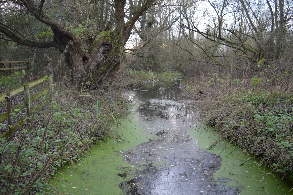
Begwary Brook
Wildlife reserves · 0.9 km

Wyboston
Towns & cities · 1.4 km

The Eaton Socon Brewery
Memorials & monuments · 1.7 km

The Birches
Campsites · 1.8 km

Cycling Clubhouse
Memorials & monuments · 1.8 km
The White Horse Inn
Memorials & monuments · 1.8 km

Millers Arms
Memorials & monuments · 1.8 km

John Cecil Paget
Memorials & monuments · 1.9 km
Xtreme360 Trampoline Park
Trampoline parks · 1.9 km

Eaton Socon Cage
Memorials & monuments · 2.0 km

Eaton Socon Castle Hills
Castles · 2.0 km
Eaton Socon Castle
Literary houses · 2.0 km
Nearby
📷 5Wildlife reserves · East of England
Begwary Brook
Begwary Brook — nature reserve in the United Kingdom.
📷 5📷 5Memorials & monuments · East of England
The Eaton Socon Brewery
The Eaton Socon Brewery — a memorial in East of England, United Kingdom.
📷 5📷 5Memorials & monuments · East of England
Cycling Clubhouse
Cycling Clubhouse — a memorial in East of England, United Kingdom.
📷 5Memorials & monuments · East of England
The White Horse Inn
The White Horse Inn — a memorial in East of England, United Kingdom.
Where to eat & stay near St Denys' Church, Little Barford
Places to stay
📷 5 📷 5
📷 5Campsites · East of England
St Neots Camping and Caravanning Club
St Neots Camping and Caravanning Club — a campsite in england london.
 📷 5
📷 5Caravan parks · East of England
St Neots Mobile Home Park
St Neots Mobile Home Park — a caravan park in england london.
 📷 5
📷 5 📷 5
📷 5Campsites · East of England
Jordans Close Scout Activity Centre
Jordans Close Scout Activity Centre — a campsite in england london.
 📷 5
📷 5Caravan parks · East of England
Caravan Club Site (members)
Caravan Club Site (members) — a caravan park in england london.
Places to eat & drink
 📷 5
📷 5Historic pubs · East of England
The Anchor Public House
The Anchor Public House in England East, United Kingdom.
 📷 5
📷 5Historic pubs · East of England
Duncombe Arms Public House
Duncombe Arms Public House in England East, United Kingdom.
 📷 5
📷 5Historic pubs · East of England
Kings Arms Public House
Kings Arms Public House in England East, United Kingdom.
 📷 5
📷 5Historic pubs · East of England
Ye Olde Plough Public House
Ye Olde Plough Public House in England East, United Kingdom.
 📷 5
📷 5Historic pubs · East of England
The Plough Public House With Attached Stables And Hayloft
The Plough Public House With Attached Stables And Hayloft in England East, United Kingdom.
 📷 5
📷 5Other works by Arthur Blomfield
 📷 5
📷 5Abbeys & priories · London
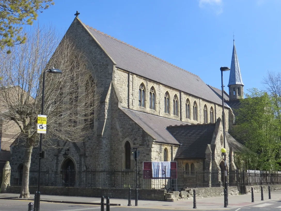
Church of St Andrew, Hackney
Church of St Andrew, Hackney — Anglican parish church on Bethune Road in Stoke Newington, in the London Borough of Hackney, England.
 📷 5
📷 5Historic churches · London
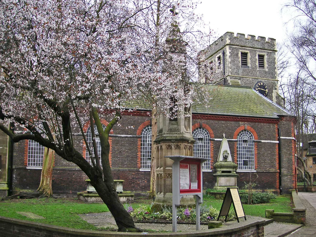
St Mary Magdalene church, Richmond, London
St Mary Magdalene church, Richmond, London — church in Richmond, London.
 📷 7
📷 7Historic pubs · London
The Old Bank of England
The Old Bank of England — Historic pub — listed building or notable heritage status.
 📷 5
📷 5Cathedrals · London
Church of St Andrew, Hackney
Church of St Andrew, Hackney is a cathedral in the United Kingdom.
More places in this region
 📷 5
📷 5Historic churches · East of England
All Saints Church
All Saints Church — church on Jesus Lane in central Cambridge, England.
 📷 5
📷 5Historic churches · East of England
All Saints Church, Conington
All Saints Church, Conington — church in Conington, Huntingdonshire, Cambridgeshire, England, UK.
 📷 5
📷 5Historic churches · East of England
All Saints Church, Vange
All Saints Church, Vange — church in Basildon, Essex, England, UK.
 📷 5
📷 5Historic churches · East of England
All Saints Parish Church, Kirtling
All Saints Parish Church, Kirtling — church in East Cambridgeshire, England, UK.
Frequently asked questions
- Where is St Denys' Church, Little Barford?
- St Denys' Church, Little Barford is in East of England, United Kingdom (postcode PE19 6YE), in the parish of Little Barford.
- What is St Denys' Church, Little Barford?
- St Denys' Church, Little Barford — redundant Anglican church in the village of Little Barford, Bedfordshire, England, UK.
- How do I get to St Denys' Church, Little Barford?
- The nearest railway station is St Neots, about 4.3 km away. The nearest town is Wyboston. Drivers can use postcode PE19 6YE.
- Is St Denys' Church, Little Barford a listed building?
- St Denys' Church, Little Barford is officially recognised as Grade II* listed building listed.
- Is St Denys' Church, Little Barford free to visit?
- Yes, St Denys' Church, Little Barford is free to enter.
- How do I get to St Denys' Church, Little Barford?
- The nearest railway station is St Neots, about 4.3 km away. Drivers can navigate to postcode PE19 6YE.