
Mountains & hills · South Wales
St David's Head
Also known as: Penmaen Dewi
In or near St Davids.
St David's Head — Named summit at 109 m.

Wikimedia Commons contributors — see linked file page for photographer and licence licence

Plan your visit
- Typical visit
- 3 h–8 h
- Best time of year
- Late spring – early autumn (May–Oct)
- Free entry
- Dog-friendly
About
St David's Head is a named summit in the United Kingdom. Also known as: Penmaen Dewi. Wikidata describes it as: "Named summit at 109 m.". Coordinates: 51.9030°, -5.3127°.
Photo gallery
From the Wikipedia article
St David's Head (Welsh: Penmaen Dewi) is a headland in the Pembrokeshire Coast National Park, southwest Wales, which marks the divide between the Irish Sea and the Celtic Sea. It is noted for its wildflowers and wildlife, and for the remains of ancient human settlement. The headland and its immediate hinterland are owned by the National Trust, and are accessible to the public by foot via the Pembrokeshire Coast Path. The westernmost point of mainland Wales, Pen Dal-aderyn, is located just to the south of St David's Head.
Excerpt from Wikipedia under CC BY-SA 4.0. See the source article linked in Sources below.
Background
History
There are a number of ancient monuments showing signs of early occupation, including an Iron Age cliff fort, prehistoric settlements, a prehistoric defensive wall, signs of various neolithic field systems and Coetan Arthur (Arthur’s Quoit) burial chamber. Described in a Roman survey of the known world in 140 AD (Ptolemy's Geography) as the 'Promontory of the Eight Perils' (Οκταπιταρον Ακρον - Oktapitaron Akron - in Ptolemy's original Greek). Tarleton, a slaver of 400 tons burthen, foundered on 28 November 1788 off St David's Head on her fourth slaving voyage from Liverpool to Africa. Her crew was saved. In 1793, Sir Richard Colt Hoare said in his "Journal of a Tour of South Wales":…
Sourced from Wikipedia under CC BY-SA 4.0.
- Coordinates
- 51.9030, -5.3127
- District
- Pembrokeshire
- Parish
- St. David's and the Cathedral Close
- Postcode
- SA62 6PS
- Parliamentary constituency
- Mid and South Pembrokeshire
Sources
- osm: n2345995603 (ODbL)
- wikipedia: St David's Head (CC BY-SA 4.0)
- commons: St David's Head-by-Cered.jpg (CC BY-SA 4.0)
Other places nearby

Clawdd y Milwyr
Vineyards · 0.0 km

Coetan Arthur Dolmen
Burial mounds & barrows · 0.3 km
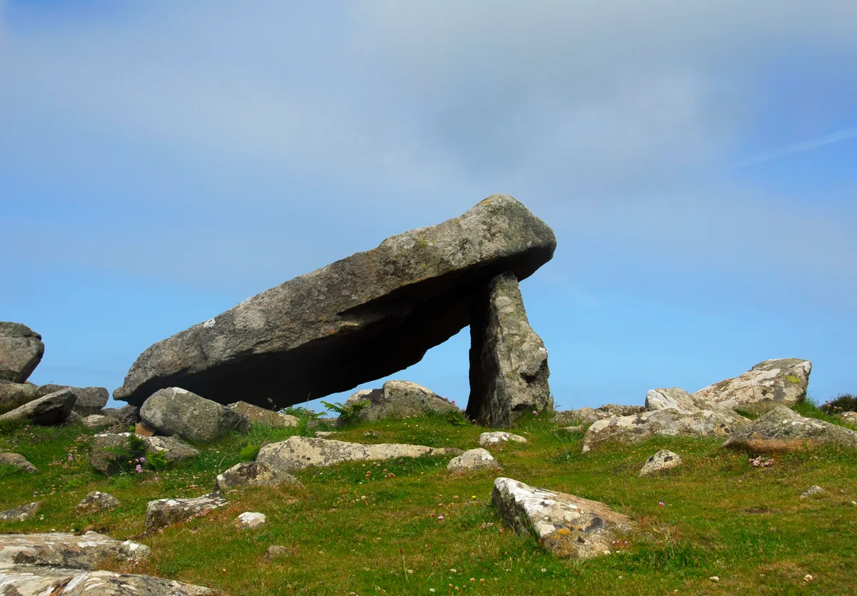
Coetan Arthur
Hill forts · 0.4 km

Porth-mawr
Natural landmarks · 0.9 km

Carn Llidi Chambered Tomb
Archaeological sites · 1.3 km
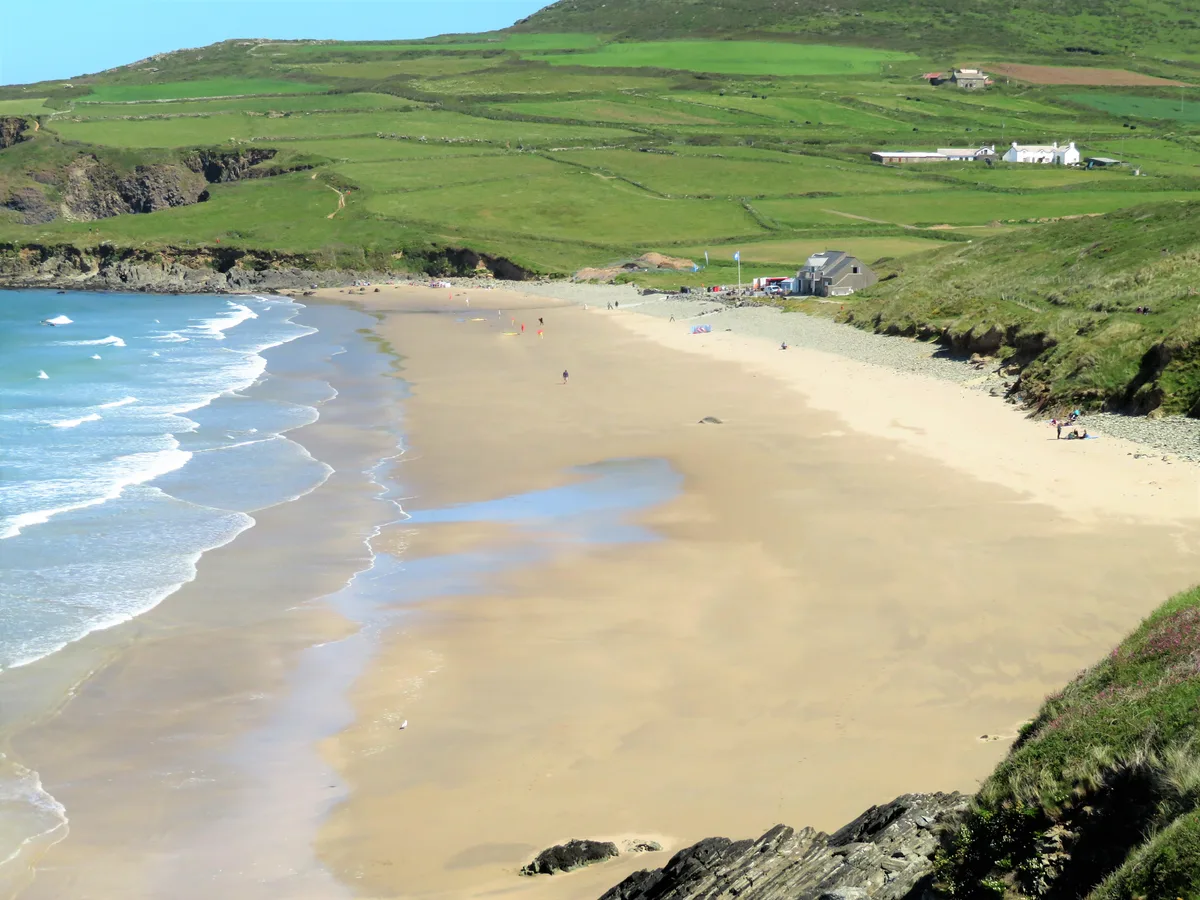
Whitesands Beach
Beaches · 1.4 km

Whitesands Camping
Campsites · 1.5 km
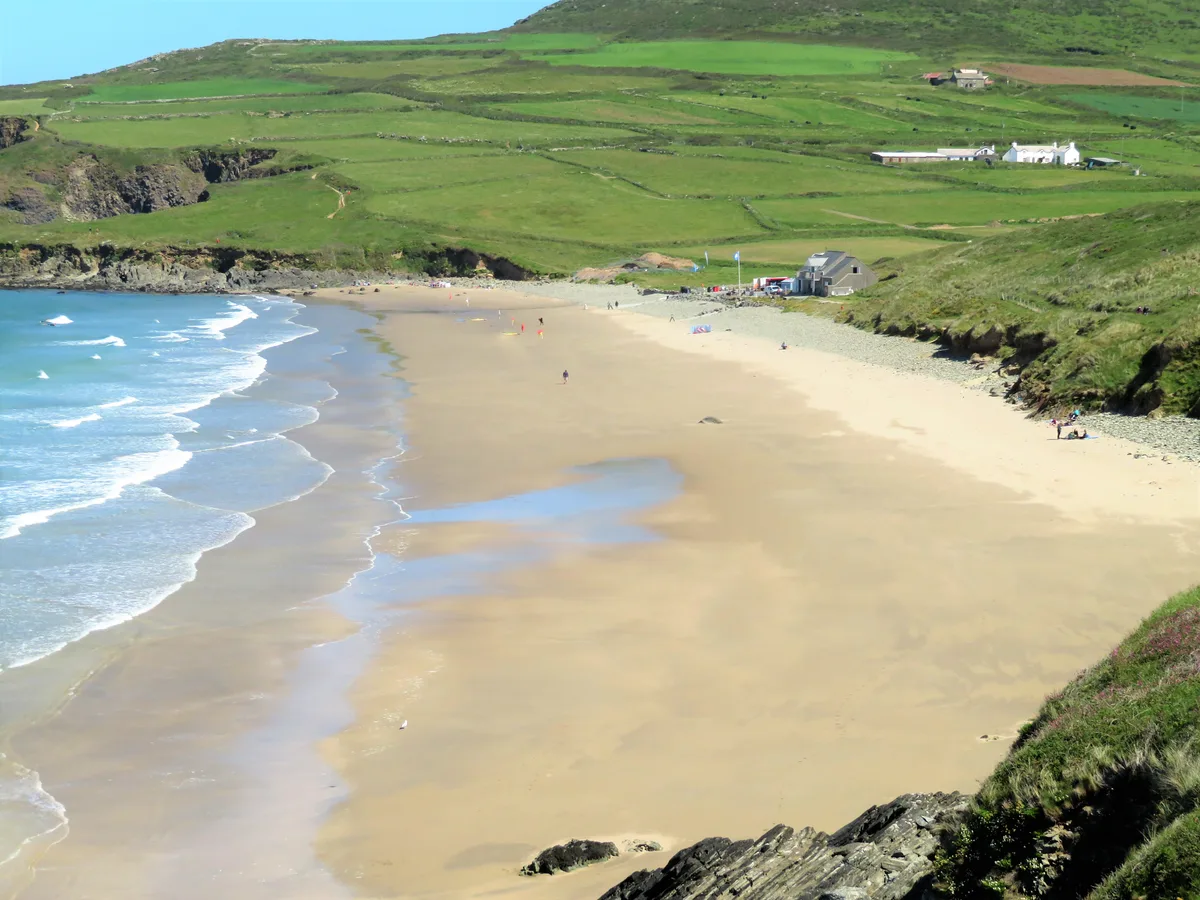
Whitesands Bay
Mountains & hills · 1.5 km

Menapia Roman Station
Archaeological sites · 1.5 km
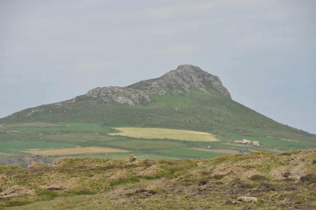
Carn Llidi
Mountains & hills · 1.6 km

YHA St Davids
Hostels · 1.8 km
Ogof Cwm
Caves · 1.8 km
Nearby
📷 5Vineyards · South Wales
Clawdd y Milwyr
Clawdd y Milwyr — a UK vineyard in wales south, producing English or Welsh wine from cool-climate grape varieties.
📷 3Burial mounds & barrows · South Wales
Coetan Arthur Dolmen
Coetan Arthur Dolmen — a burial mound in South Wales, United Kingdom.
📷 5Hill forts · South Wales
Coetan Arthur
Coetan Arthur — Neolithic burial chamber near St David's Head, Pembrokeshire, Wales.
📷 5📷 3Archaeological sites · South Wales
Carn Llidi Chambered Tomb
Carn Llidi Chambered Tomb — an archaeological site in South Wales, United Kingdom.
📷 5Where to eat & stay near St David's Head
Places to stay
📷 5Campsites · South Wales
Whitesands Camping
Whitesands Camping — a campsite in wales south.
📷 5 📷 5
📷 5Campsites · South Wales
Pencarnan Farm Caravan & Camping Site
Pencarnan Farm Caravan & Camping Site — a campsite in wales south.
 📷 5
📷 5Campsites · South Wales
Dunes at Whitesands Camping
Dunes at Whitesands Camping — a campsite in wales south.
 📷 5
📷 5Caravan parks · South Wales
St Davids Lleithyr Meadow Caravan And Motorhome Club Site
St Davids Lleithyr Meadow Caravan And Motorhome Club Site — a caravan park in wales south.
 📷 5
📷 5Campsites · South Wales
Lleithyr Farm Camp Site
Lleithyr Farm Camp Site — a campsite in wales south.
More mountains in this region
 Flagship📷 3
Mountains & hills · South Wales
Milford Haven Waterway
Milford Haven Waterway — ria, or flooded valley, in Pembrokeshire, south-west Wales, UK.
 📷 5
📷 5Mountains & hills · South Wales
Ogof Ffynnon Ddu
Ogof Ffynnon Ddu — cave in the Upper Swansea Valley in South Wales.
 📷 3
📷 3 📷 3
📷 3Frequently asked questions
- Where is St David's Head?
- St David's Head is in South Wales, United Kingdom (postcode SA62 6PS), in the parish of St. David's and the Cathedral Close.
- What is St David's Head?
- St David's Head — Named summit at 109 m.
- How do I get to St David's Head?
- The nearest town is St Davids. Drivers can use postcode SA62 6PS.
- Is St David's Head free to visit?
- Yes, St David's Head is free to enter.
- How do I get to St David's Head?
- Drivers can navigate to postcode SA62 6PS. It sits within the Mid and South Pembrokeshire parliamentary constituency.