
Historic churches · North Wales
St Ceinwen's Church, Cerrigceinwen
In or near Newborough.
St Ceinwen's Church, Cerrigceinwen — church in Cerrigceinwen, Anglesey, Wales.

Wikimedia Commons contributors — see linked file page for photographer and licence licence

Plan your visit
- Typical visit
- 30 min–1 h
- Nearest railway station
- Bodorgan · 5.1 km
- Free entry
Getting there & planning your visit
To visit St Ceinwen's Church in Cerrigceinwen, the nearest railway station is Bodorgan, located 5.1 km away. The postcode for sat-nav is LL62 5ED, and entry to the church is free.
About
St Ceinwen's Church, Cerrigceinwen is a historic church in the United Kingdom. Records date its origin to 1860. Built in the English Gothic architecture style. Heritage designation: Grade II listed building. Affiliated with Anglicanism. Address: LL62 5ED. Wikidata describes it as: "church in Cerrigceinwen, Anglesey, Wales". Coordinates: 53.2368°, -4.3633°.
Photo gallery
Heritage listing
St Ceinwen's Church, Cerrigceinwen, is a former parish church in the countryside of central Anglesey, north Wales. The present building dates from 1860, although the site has been used for worship since at least the 7th century. The doorway reuses some old carved gravestones, one from the 9th to 11th centuries, and another from the 12th century. The church grounds contain a well, once thought to have healing properties. The church and the well are both named after St Ceinwen, an early Celtic female saint. The church is closed and no longer used for worship by the Church in Wales and, as of July 2012, was for sale.
From Cadw under OGL v3.
From the Wikipedia article
St Ceinwen's Church, Cerrigceinwen, is a former parish church in the countryside of central Anglesey, north Wales. The present building dates from 1860, although the site has been used for worship since at least the 7th century. The doorway reuses some old carved gravestones, one from the 9th to 11th centuries, and another from the 12th century. The church grounds contain a well, once thought to have healing properties. The church and the well are both named after St Ceinwen, an early Celtic female saint. The church is closed and no longer used for worship by the Church in Wales and, as of July 2012, was for sale. It is a Grade II listed building, a national designation given to "buildings of special interest, which warrant every effort being made to preserve them", in particular because it is a "simple rural church" from the 19th century that reuses older carved stonework.
Excerpt from Wikipedia under CC BY-SA 4.0. See the source article linked in Sources below.
Background
History
St Ceinwen's Church is in a rural location in the middle of Anglesey, north Wales. It is set in a hollow at the side of the road near the village of Cerrigceinwen, about 2 mi to the south-west of Llangefni, the county town of Anglesey. The date of establishment of the first church on this site is uncertain. According to a 2006 guide to the churches of Anglesey, worship began here in the 7th century. Some repair work was carried out to a medieval church on this site in 1839 (although the date of its original construction is unknown) and the current structure was erected in 1860. The architects were Henry Kennedy (architect of the Diocese of Bangor) and Frederick Rogers. She was the daughter…
Architecture
The church, which is built in the Decorated style, has a nave at the west end and a chancel at the east end. It is built from rubble masonry dressed with freestone; the roof is made of slate and edged with stone. The churchyard contains a Commonwealth War Grave of a Royal Army Medical Corps sergeant of World War II.
Sourced from Wikipedia under CC BY-SA 4.0.
- Coordinates
- 53.2368, -4.3633
- District
- Isle of Anglesey
- Parish
- Llangristiolus
- Postcode
- LL62 5ED
- Parliamentary constituency
- Ynys Môn
- Established
- 1860
- Nearest railway station
- Bodorgan — 5.1 km
Sources
- wikidata: Q7592779 (CC0)
- wikipedia: St Ceinwen's Church, Cerrigceinwen (CC BY-SA 4.0)
- commons: Eglwys St. Ceinwen, Cerrigceinwen. - geograph.org.uk - 107212.jpg (CC BY-SA 4.0)
Other places nearby

Cerrigceinwen
Historic churches · 0.5 km

Llangristiolus
Villages · 0.8 km

Cefncwmwd
Mountains & hills · 1.2 km

Llangristiolus
Historic churches · 1.2 km

Henblas
Follies · 1.7 km

Rhostrehwfa
Historic churches · 1.9 km

Heneglwys
Historic churches · 2.4 km
St Llwydian's Church
Historic churches · 2.4 km
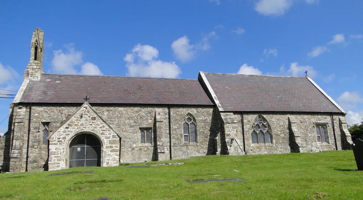
St Cristiolus's Church, Llangristiolus
Historic churches · 2.6 km
Bodffordd
Historic churches · 2.8 km
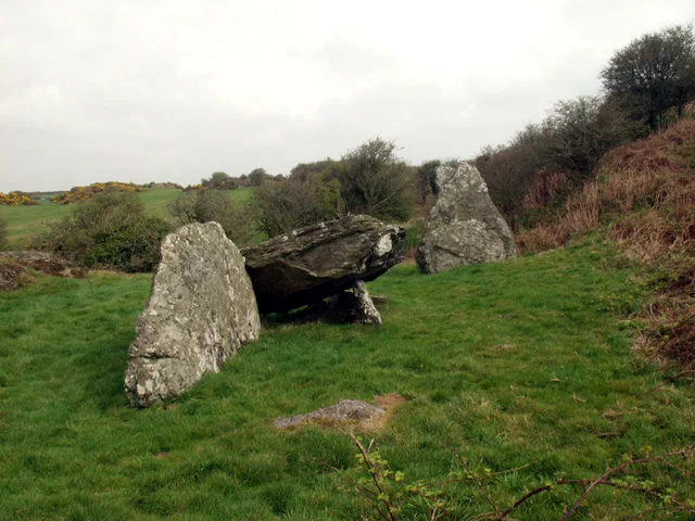
Din Dryfol
Hill forts · 3.0 km

Melin Frogwy
Windmills · 3.5 km
Nearby
📷 5Historic churches · North Wales
Cerrigceinwen
Cerrigceinwen (Welsh: ['kɛrɪɡ'kɛinʊɛn]) is a village in the community of Llangristiolus, Anglesey, Wales. It is also a former parish. The church was dedicated to Saint Ceinwen.
📷 5📷 3Mountains & hills · North Wales
Cefncwmwd
Cefncwmwd — a mountain in wales-north, United Kingdom, 84 m.
📷 5Historic churches · North Wales
Llangristiolus
Llangristiolus is a village and community in the middle of Anglesey, Wales, southwest of Llangefni, and is named after Saint Cristiolus. The River Cefni flows through the village. The village is withi
📷 3📷 5Historic churches · North Wales
Rhostrehwfa
Rhostrehwfa is a village in southern-central Anglesey, located southwest of Llangefni. To the southeast is the Malltraeth Marsh. It is situated at a prominent point on the crest of a ridge overlooking
Where to eat & stay near St Ceinwen's Church, Cerrigceinwen
Places to stay
 📷 5
📷 5 📷 5
📷 5Campsites · North Wales
Pen-Y-Bont Farm
Pen-Y-Bont Farm — a campsite in wales north.
 📷 5
📷 5Caravan parks · North Wales
Mornest Caravan Park
Mornest Caravan Park — a caravan park in wales north.
 📷 5
📷 5Campsites · North Wales
Caeau Ty'n Talwrn - Scout Campsite
Caeau Ty'n Talwrn - Scout Campsite — a campsite in wales north.
 📷 5
📷 5Caravan parks · North Wales
Bryn Aber
Bryn Aber — a caravan park in wales north.
 📷 5
📷 5Places to eat & drink
 📷 5
📷 5Historic pubs · North Wales
The Bull Hotel, Llangefni
The Bull Hotel, Llangefni in Wales North, United Kingdom.
 📷 5
📷 5Restaurants · North Wales
Oyster Catcher
Oyster Catcher — a restaurant in wales north.
 📷 5
📷 5 📷 5
📷 5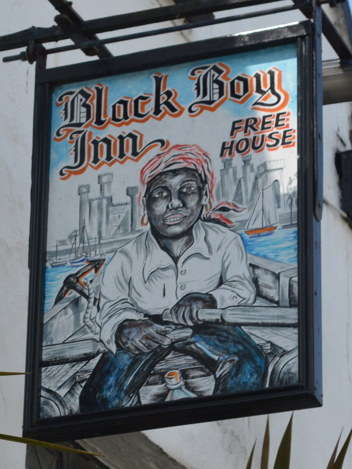 📷 5
📷 5 📷 5
📷 5Other places from this era
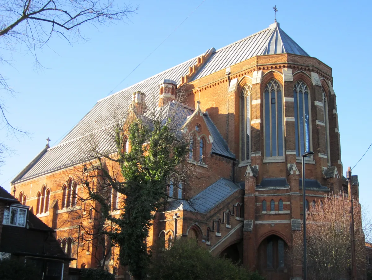 📷 5
📷 5Historic churches · London
All Saints Church, West Dulwich
All Saints Church, West Dulwich — church in West Dulwich, London.
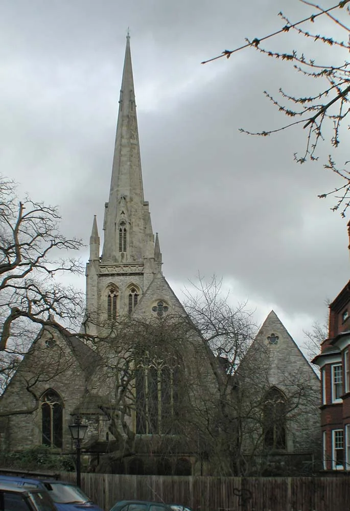 📷 5
📷 5Historic churches · London
Christ Church
Christ Church — church in Hampstead, London.
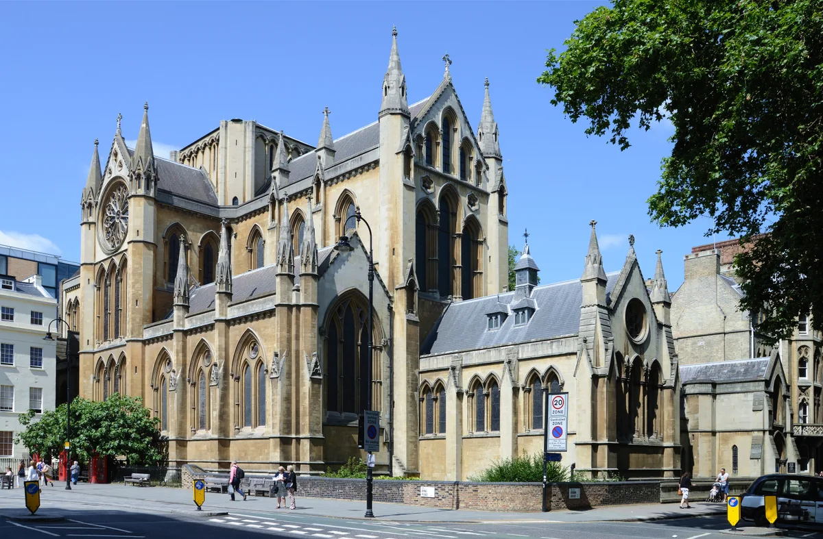 📷 5
📷 5Historic churches · London
Church of Christ the King, Bloomsbury
Church of Christ the King, Bloomsbury — church in Gordon Square, Bloomsbury, London.
 📷 5
📷 5Historic churches · London
Church of St Barnabas
Church of St Barnabas — church in Pimlico, London.
More places in this region
 📷 3
📷 3Historic churches · North Wales
All Saints Church
All Saints Church — Anglican church in Deganwy, Wales.
 📷 3
📷 3Historic churches · North Wales
All Saints Church, Great Saughall
All Saints Church, Great Saughall — grade II listed church in Saughall, Cheshire West and Chester, Cheshire, England, UK.
 📷 3
📷 3Historic churches · North Wales
All Saints Church, Higher Kinnerton
All Saints Church, Higher Kinnerton — church in United Kingdom.
 📷 3
📷 3Historic churches · North Wales
All Saints' Church, Gresford
All Saints' Church, Gresford — church in Gresford, north Wales.
Frequently asked questions
- Where is St Ceinwen's Church, Cerrigceinwen?
- St Ceinwen's Church, Cerrigceinwen is in North Wales, United Kingdom (postcode LL62 5ED), in the parish of Llangristiolus.
- What is St Ceinwen's Church, Cerrigceinwen?
- St Ceinwen's Church, Cerrigceinwen — church in Cerrigceinwen, Anglesey, Wales.
- How do I get to St Ceinwen's Church, Cerrigceinwen?
- The nearest railway station is Bodorgan, about 5.1 km away. The nearest town is Newborough. Drivers can use postcode LL62 5ED.
- When was St Ceinwen's Church, Cerrigceinwen built?
- Built or established in 1860.
- Is St Ceinwen's Church, Cerrigceinwen a listed building?
- St Ceinwen's Church, Cerrigceinwen is officially recognised as Grade II listed building listed.
- Is St Ceinwen's Church, Cerrigceinwen free to visit?
- Yes, St Ceinwen's Church, Cerrigceinwen is free to enter.
- How do I get to St Ceinwen's Church, Cerrigceinwen?
- The nearest railway station is Bodorgan, about 5.1 km away. Drivers can navigate to postcode LL62 5ED.