
Mountains & hills · North West England
Souther Fell
In or near Threlkeld.
Souther Fell — Named summit at 522 m.

Wikimedia Commons contributors — see linked file page for photographer and licence licence

Plan your visit
- Typical visit
- 3 h–8 h
- Best time of year
- Late spring – early autumn (May–Oct)
- Nearest railway station
- Threlkeld Quarry Station · 5.4 km
- Free entry
- Dog-friendly
About
Souther Fell is a named summit in the United Kingdom. Wikidata describes it as: "Named summit at 522 m.". Coordinates: 54.6532°, -3.0017°.
Photo gallery
See it from the streetimagery from 2021
Imagery © Mapillary contributors, CC BY-SA 4.0
Protected designations
- Site of Special Scientific Interest: Skiddaw Group SSSI
- Site of Special Scientific Interest: River Derwent and Tributaries SSSI
- Site of Special Scientific Interest: River Eden and Tributaries SSSI
Designations sourced from Natural England open data under OGL v3.
From the Wikipedia article
Souther Fell is a fell in the English Lake District. It stands to the south of Mungrisdale village in the Northern Fells. It is most famous for the appearance of a "spectral army", said to have been seen marching along its crest on Midsummer's Day, 1745. No such force was in the District at the time.
Excerpt from Wikipedia under CC BY-SA 4.0. See the source article linked in Sources below.
Background
Description
On the evening of Midsummer's Day 1745, a line of marching troops, cavalry and even carriages was seen travelling along the summit ridge of Souther Fell. The ground over which they appeared to move was known to be too steep for such transport, but the procession continued unabated for some hours until night fell, constantly appearing at one end of the ridge and disappearing at the other. 26 sober and respected witnesses were assembled to view the proceedings and later testified on oath to what they had seen. The next day Souther Fell was climbed and not a footprint was found on the soft ground of the ridge. One scientific explanation offered was that this was some bizarre mirage or…
Sourced from Wikipedia under CC BY-SA 4.0.
- Coordinates
- 54.6532, -3.0017
- District
- Westmorland and Furness
- Parish
- Mungrisdale
- Postcode
- CA11 0TB
- Parliamentary constituency
- Westmorland and Lonsdale
- Nearest railway station
- Threlkeld Quarry Station — 5.4 km
Sources
- osm: n2425932625 (ODbL)
- wikipedia: Souther Fell (CC BY-SA 4.0)
- commons: Souther Fell from Scales Fell, Blencathra.jpg (CC BY-SA 4.0)
Other places nearby
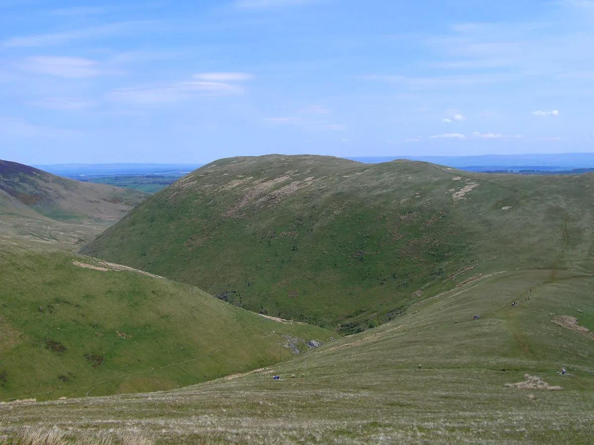
Souther Fell
Natural landmarks · 0.1 km

Hang gliding take off point
Viewpoints · 0.4 km

Souther Fell South Top
Mountains & hills · 0.5 km

The Tongue
Mountains & hills · 1.2 km

Mungrisdale
Villages · 1.4 km

Redmire Farm Folds
Public art & sculpture · 1.7 km

Bannerdale Crags
Mountains & hills · 1.9 km
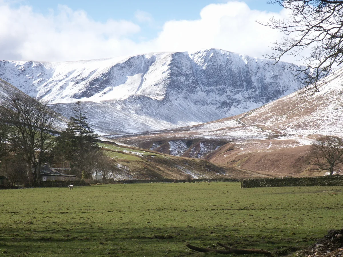
Bannerdale Crags (summit)
Mountains & hills · 1.9 km
Mungrisdale Field Boulder Fold
Public art & sculpture · 2.1 km

Bowscale Fell Far East Top
Mountains & hills · 2.1 km

Troutbeck Camping and Caravanning
Campsites · 2.4 km

Tarn Crags Top
Mountains & hills · 2.4 km
Nearby
📷 3📷 3Viewpoints · North West England
Hang gliding take off point
Hang gliding take off point is a viewpoint in the United Kingdom.
📷 5Mountains & hills · North West England
Souther Fell South Top
Souther Fell South Top — mountain in scotland lowlands. Elevation: 519.8 m.
📷 5Mountains & hills · North West England
The Tongue
The Tongue — mountain in scotland lowlands. Elevation: 553 m.
📷 5📷 3Public art & sculpture · North West England
Redmire Farm Folds
Redmire Farm Folds — a public art in scotland-lowlands, United Kingdom.
Where to eat & stay near Souther Fell
Places to stay
📷 5Campsites · North West England
Troutbeck Camping and Caravanning
Troutbeck Camping and Caravanning — a campsite in scotland lowlands.
 📷 5
📷 5Hostels · North West England
The Bunkhouse
The Bunkhouse — a hostel in scotland lowlands.
 📷 5
📷 5B&Bs · North West England
Mosedale House
Mosedale House — a bed-and-breakfast in scotland lowlands.
 📷 5
📷 5Caravan parks · North West England
Gill Head Farm Caravan and Camping
Gill Head Farm Caravan and Camping — a caravan park in scotland lowlands.
📷 5Campsites · North West England
Gill Head Farm
Gill Head Farm — a campsite in scotland lowlands.
 📷 5
📷 5Places to eat & drink
 📷 5
📷 5 📷 5
📷 5Historic pubs · North West England
Horse And Farrier Inn And Stables
Horse And Farrier Inn And Stables in Scotland Lowlands, United Kingdom.
 📷 4
📷 4Historic pubs · North West England
Oddfellows Arms
Oddfellows Arms — Historic pub — listed building or notable heritage status.
 📷 7
📷 7Cafés · North West England
Grange Bridge Cottage
Grange Bridge Cottage — a café in england north east.
 📷 7
📷 7Historic pubs · North West England
The Pheasant Inn
The Pheasant Inn in Scotland Lowlands, United Kingdom.
 📷 6
📷 6Historic pubs · North West England
Gloucester Arms
Gloucester Arms in Scotland Lowlands, United Kingdom.
More mountains in this region
 📷 5
📷 5Mountains & hills · North West England
Appleton Park
Appleton Park — a hill or mountain in england west midlands.
 📷 5
📷 5Mountains & hills · North West England
High Warren
High Warren — mountain in england west midlands. Elevation: 105 m.
 📷 5
📷 5Mountains & hills · North West England
Alderley Edge
Alderley Edge — mountain in england west midlands. Elevation: 194 m.
 📷 3
📷 3Frequently asked questions
- Where is Souther Fell?
- Souther Fell is in the Scottish Lowlands, United Kingdom (postcode CA11 0TB), in the parish of Mungrisdale.
- What is Souther Fell?
- Souther Fell — Named summit at 522 m.
- How do I get to Souther Fell?
- The nearest railway station is Threlkeld Quarry Station, about 5.4 km away. Drivers can use postcode CA11 0TB.
- Is Souther Fell a protected site?
- Yes — Souther Fell is part of the Skiddaw Group SSSI Site of Special Scientific Interest and the River Derwent and Tributaries SSSI Site of Special Scientific Interest.
- Is Souther Fell free to visit?
- Yes, Souther Fell is free to enter.
- How do I get to Souther Fell?
- The nearest railway station is Threlkeld Quarry Station, about 5.4 km away. Drivers can navigate to postcode CA11 0TB.