
Hill forts · Yorkshire & the Humber
Slack Roman fort
In or near Ripponden.
Slack Roman fort — archaeological site in Kirklees, West Yorkshire, England, UK.

Colin Pyle — CC BY-SA 2.0 via Wikimedia Commons licence

Plan your visit
- Typical visit
- 1 h–2 h
- Nearest railway station
- Slaithwaite · 3.3 km
- Free entry
- Dog-friendly
Getting there & planning your visit
To visit Slack Roman fort, the nearest railway station is Slaithwaite, located 3.3 km away. Entry is free, and the postcode for sat-nav is HD3 3FG.
About
Slack Roman fort is a hill fort in the United Kingdom. Heritage designation: scheduled monument. Wikidata describes it as: "archaeological site in Kirklees, West Yorkshire, England, UK". Coordinates: 53.6537°, -1.8733°.
Photo gallery
Protected designations
- Site of Special Scientific Interest: South Pennine Moors SSSI
Designations sourced from Natural England open data under OGL v3.
From the Wikipedia article
Slack Roman Fort was a castellum near Outlane, to the west of Huddersfield in West Yorkshire, England. Its site is a scheduled monument. The ruins of the fort which lay alongside the Pennine section of the Roman road from Deva Victrix (Chester) to Eboracum (York) are no longer visible. The fort may have been the Cambodunum mentioned as a station on this route in the Antonine Itinerary. Archaeological digs indicate the fort was constructed of turf and wood to defend the Roman road in the time of Agricola in AD 79. Outside the fort walls was a stone bath-house which was extended around AD 104 and AD 120. A vicus or small settlement of wooden huts grew outside the fort. In December 2016, a retired professor from Bangor University, Peter Field, hypothesised that the fort's site was a potential location for the mythical Camelot.
Excerpt from Wikipedia under CC BY-SA 4.0. See the source article linked in Sources below.
- Coordinates
- 53.6537, -1.8733
- District
- Kirklees
- Parish
- Kirklees, unparished area
- Postcode
- HD3 3FG
- Parliamentary constituency
- Colne Valley
- Nearest railway station
- Slaithwaite — 3.3 km
Sources
- wikidata: Q15278153 (CC0)
- wikipedia: Slack Roman Fort (CC BY-SA 4.0)
Other places nearby

Roman Fort (Site)
Archaeological sites · 0.1 km

Springfield Springfield Cottage, Gosport Bridge
Historic bridges · 0.5 km

Wholestone Moor
Mountains & hills · 1.1 km

Rising Sun Public House
Historic pubs · 1.8 km

Cosy Nook Cinema
Theatres · 1.9 km

Golcar
Villages · 1.9 km

Colne Valley Museum
Museums · 2.0 km

Dod Lea House
Historic houses · 2.0 km

Parkwood Mill
Mills · 2.0 km

The Rose
Restaurants · 2.1 km

Stainland Stocks
Memorials & monuments · 2.1 km

Stainland Cross
Memorials & monuments · 2.1 km
Nearby
📷 3Archaeological sites · Yorkshire & the Humber
Roman Fort (Site)
Roman Fort (Site) — an archaeological site in Yorkshire & the Humber, United Kingdom.
📷 3Historic bridges · Yorkshire & the Humber
Springfield Springfield Cottage, Gosport Bridge
Springfield Springfield Cottage, Gosport Bridge — Grade II listed building-listed bridge in england-yorkshire, United Kingdom.
📷 5Mountains & hills · Yorkshire & the Humber
Wholestone Moor
Wholestone Moor — a hill or mountain in england yorkshire.
📷 5Historic pubs · Yorkshire & the Humber
Rising Sun Public House
Rising Sun Public House in England Yorkshire, United Kingdom.
📷 3Theatres · Yorkshire & the Humber
Cosy Nook Cinema
Cosy Nook Cinema in England Yorkshire, United Kingdom.
📷 5Where to eat & stay near Slack Roman fort
Places to stay
 📷 5
📷 5Caravan parks · Yorkshire & the Humber
Elland Hall Farm Caravan Park
Elland Hall Farm Caravan Park — a caravan park in england yorkshire.
 📷 5
📷 5Caravan parks · Yorkshire & the Humber
Upper Abotts Royd Farm and Caravan Park
Upper Abotts Royd Farm and Caravan Park — a caravan park in england yorkshire.
 📷 7
📷 7 📷 5
📷 5Campsites · Yorkshire & the Humber
Rough Hey Wood Campsite
Rough Hey Wood Campsite — a campsite in england yorkshire.
 📷 5
📷 5Caravan parks · Yorkshire & the Humber
Ashdene Naturist Club
Ashdene Naturist Club — a caravan park in england yorkshire.
 📷 5
📷 5Caravan parks · Yorkshire & the Humber
Rooley Farm
Rooley Farm — a caravan park in england yorkshire.
Places to eat & drink
📷 5Historic pubs · Yorkshire & the Humber
Rising Sun Public House
Rising Sun Public House in England Yorkshire, United Kingdom.
📷 5 📷 5
📷 5Historic pubs · Yorkshire & the Humber
The Black Bull Public House
The Black Bull Public House in England Yorkshire, United Kingdom.
 📷 5
📷 5Historic pubs · Yorkshire & the Humber
Shoulder of Mutton
Shoulder of Mutton in England Yorkshire, United Kingdom.
 📷 5
📷 5Historic pubs · Yorkshire & the Humber
Spring Gardens Public House
Spring Gardens Public House in England Yorkshire, United Kingdom.
.jpg?width=1200) 📷 3
📷 3Historic pubs · Yorkshire & the Humber
Old Bridge Inn
Old Bridge Inn — Historic pub — listed building or notable heritage status.
More places in this region
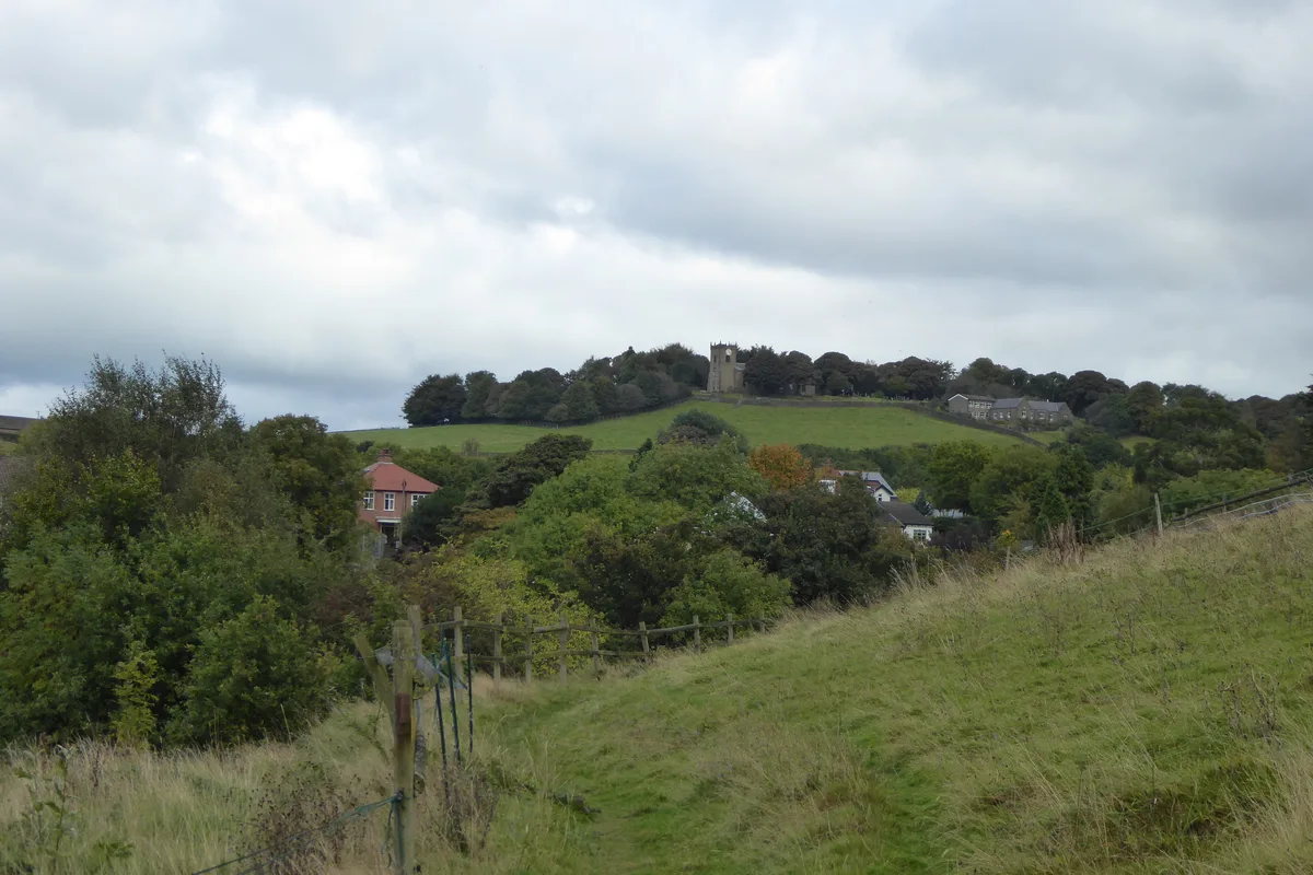 Flagship📷 3
Hill forts · Yorkshire & the Humber
Mellor hill fort
Mellor hill fort — prehistoric site in North West England.
 📷 3
📷 3Hill forts · Yorkshire & the Humber
Stockport Castle
Stockport Castle — former motte-and-bailey castle in Stockport, Cheshire.
 📷 3
📷 3Hill forts · Yorkshire & the Humber
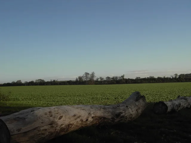
Aberford Dykes
Aberford Dykes — series of archaeological earthworks.
 📷 3
📷 3Hill forts · Yorkshire & the Humber
Cataractonium
Cataractonium — Roman fort and settlement in Catterick, located in North Yorkshire, England.
Frequently asked questions
- Where is Slack Roman fort?
- Slack Roman fort is in Yorkshire, United Kingdom (postcode HD3 3FG), in the parish of Kirklees, unparished area.
- What is Slack Roman fort?
- Slack Roman fort — archaeological site in Kirklees, West Yorkshire, England, UK.
- How do I get to Slack Roman fort?
- The nearest railway station is Slaithwaite, about 3.3 km away. The nearest town is Ripponden. Drivers can use postcode HD3 3FG.
- Is Slack Roman fort a listed building?
- Slack Roman fort is officially recognised as scheduled monument listed.
- Is Slack Roman fort a protected site?
- Yes — Slack Roman fort is part of the South Pennine Moors SSSI Site of Special Scientific Interest.
- Is Slack Roman fort free to visit?
- Yes, Slack Roman fort is free to enter.
- How do I get to Slack Roman fort?
- The nearest railway station is Slaithwaite, about 3.3 km away. Drivers can navigate to postcode HD3 3FG.