
Archaeological sites · West Midlands
Site of Deserted Medieval Village of Budbrooke
In or near Ashow.
Site of Deserted Medieval Village of Budbrooke — a archaeological in england-west-midlands, United Kingdom.

Des Blenkinsopp — CC BY-SA 2.0 via Wikimedia Commons licence

Plan your visit
- Typical visit
- 45 min–1.5 h
- Nearest railway station
- Warwick Parkway · 0.7 km
- Free entry
- Dog-friendly
About
Site of Deserted Medieval Village of Budbrooke is a archaeological located in england-west-midlands, United Kingdom. Sourced from OpenStreetMap (ODbL licence); see local listings for visitor information, opening hours and admission details.
Photo gallery
Place summary
The Site of the Deserted Medieval Village of Budbrooke is an archaeological site located in the West Midlands. This area provides insights into medieval settlement patterns and the socio-economic factors that led to the village's abandonment.
AI-generated from the structured facts on this page (operator, designation, listing, era). Not a substitute for visiting.
- Coordinates
- 52.2859, -1.6219
- County
- Warwickshire
- District
- Warwick
- Parish
- Budbrooke
- Postcode
- CV35 8QN
- Parliamentary constituency
- Kenilworth and Southam
- Nearest railway station
- Warwick Parkway — 0.7 km
Sources
- osm: node/12626098947 (ODbL)
Other places nearby

Saltisford Canal Arm
Canals · 1.4 km

Hatton
Villages · 1.7 km

Warwick Racecourse Caravan Club Site
Caravan parks · 1.8 km

Hill Close Gardens
Gardens · 2.0 km

The Marble House
Historic houses · 2.0 km

The Globe
Restaurants · 2.1 km

Randolph Adolphus Turpin 1928-1966
Public art & sculpture · 2.2 km
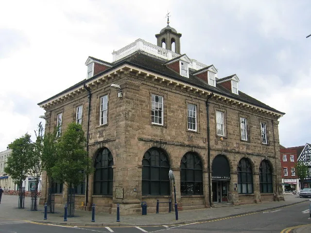
Market Hall Museum
Museums · 2.2 km

The Herons and Fishes
Public art & sculpture · 2.2 km

Market Hall Warwickshire Museum
Museums · 2.2 km

The Tilted Wig
Historic pubs · 2.2 km

The Thomas Lloyd
Historic pubs · 2.2 km
Nearby
📷 3📷 5📷 5Caravan parks · West Midlands
Warwick Racecourse Caravan Club Site
Warwick Racecourse Caravan Club Site — a caravan park in england west midlands.
📷 3Gardens · West Midlands
Hill Close Gardens
Hill Close Gardens — a garden in england-west-midlands, United Kingdom.
📷 3Historic houses · West Midlands
The Marble House
The Marble House — house in Warwick, Warwick, England, UK.
📷 7Restaurants · West Midlands
The Globe
The Globe — a restaurant in england west midlands.
Where to eat & stay near Site of Deserted Medieval Village of Budbrooke
Places to stay
📷 5Caravan parks · West Midlands
Warwick Racecourse Caravan Club Site
Warwick Racecourse Caravan Club Site — a caravan park in england west midlands.
 📷 5
📷 5Hotels · West Midlands
Warwick Arms Hotel
Warwick Arms Hotel — a hotel in england west midlands.
 📷 5
📷 5Campsites · West Midlands
Hatton Scout Campsite
Hatton Scout Campsite — a campsite in england west midlands.
 📷 7
📷 7 📷 5
📷 5Hotels · West Midlands
Ardencote Manor Hotel
Ardencote Manor Hotel — a hotel in england west midlands.
 📷 5
📷 5Campsites · West Midlands
Mousley House Farm Campsite
Mousley House Farm Campsite — a campsite in england west midlands.
Places to eat & drink
📷 7Restaurants · West Midlands
The Globe
The Globe — a restaurant in england west midlands.
📷 3Historic pubs · West Midlands
The Tilted Wig
The Tilted Wig — Historic pub — listed building or notable heritage status.
📷 3Historic pubs · West Midlands
The Thomas Lloyd
The Thomas Lloyd — Historic pub — listed building or notable heritage status.
 📷 6
📷 6 📷 5
📷 5Restaurants · West Midlands
PizzaExpress
PizzaExpress — a restaurant in england west midlands. Cuisine: pizza. Brand: PizzaExpress.
 📷 5
📷 5Restaurants · West Midlands
Warwick Spice
Warwick Spice — a restaurant in england west midlands.
More archaeological sites in this region
 📷 3
📷 3Archaeological sites · West Midlands
Oakedge Hall
Oakedge Hall — a archaeological in england-east-midlands, United Kingdom.
.jpg?width=1200) 📷 3
📷 3Archaeological sites · West Midlands
Hales Roman Villa
Hales Roman Villa — archaeological site in Loggerheads, Newcastle-under-Lyme, England, UK.
 📷 3
📷 3Archaeological sites · West Midlands
Heart of England Forest
Heart of England Forest — UK non-governmental organization.
 📷 3
📷 3Archaeological sites · West Midlands
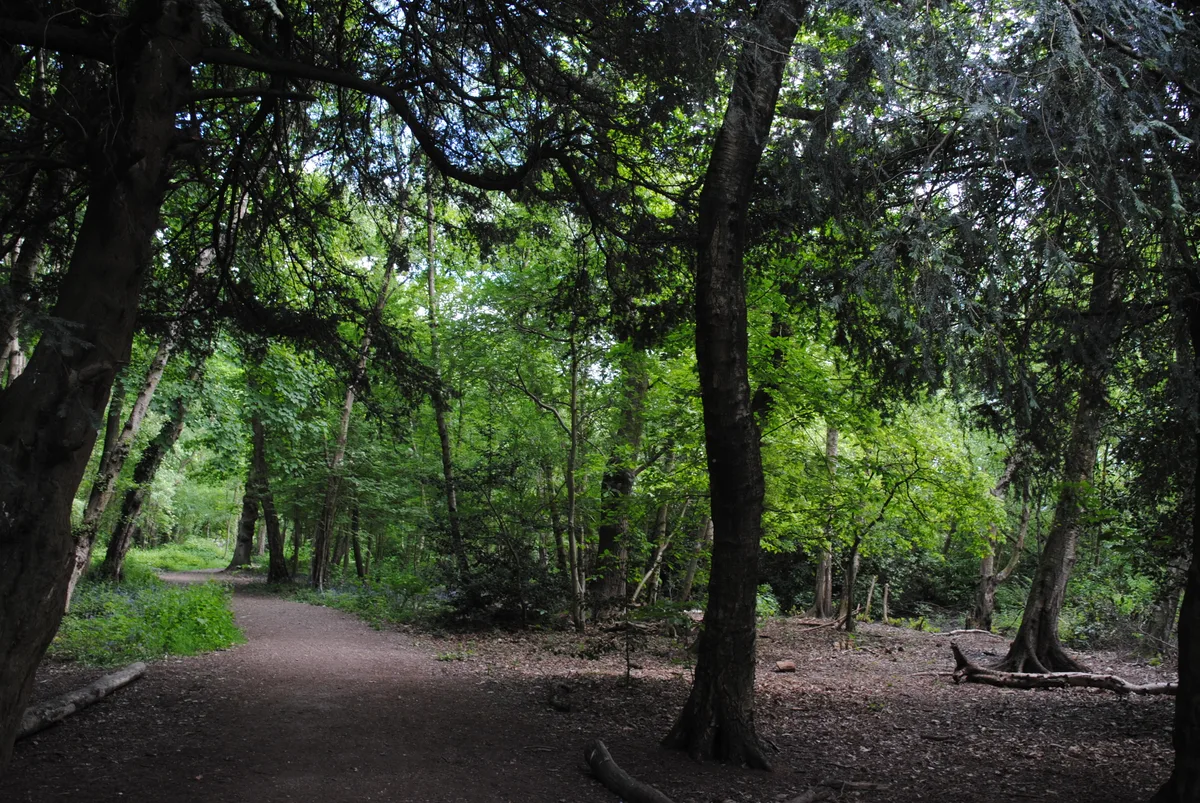
Holly Wood
Holly Wood — woodland nature reserve in Sandwell, England.
Frequently asked questions
- Where is Site of Deserted Medieval Village of Budbrooke?
- Site of Deserted Medieval Village of Budbrooke is in Warwickshire, the West Midlands, United Kingdom (postcode CV35 8QN), in the parish of Budbrooke.
- What is Site of Deserted Medieval Village of Budbrooke?
- Site of Deserted Medieval Village of Budbrooke — a archaeological in england-west-midlands, United Kingdom.
- How do I get to Site of Deserted Medieval Village of Budbrooke?
- The nearest railway station is Warwick Parkway, about 0.7 km away. Drivers can use postcode CV35 8QN.
- Is Site of Deserted Medieval Village of Budbrooke free to visit?
- Yes, Site of Deserted Medieval Village of Budbrooke is free to enter.
- How do I get to Site of Deserted Medieval Village of Budbrooke?
- The nearest railway station is Warwick Parkway, about 0.7 km away. Drivers can navigate to postcode CV35 8QN.