Mountains & hills · South East England
Sidown Hill
Sidown Hill — Named summit at 266 m.

Wikimedia Commons contributors — see linked file page for photographer and licence licence
Plan your visit
- Typical visit
- 3 h–8 h
- Best time of year
- Late spring – early autumn (May–Oct)
- Nearest railway station
- Whitchurch · 8.8 km
- Free entry
- Dog-friendly
About
Sidown Hill is a named summit in the United Kingdom. Wikidata describes it as: "Named summit at 266 m.". Coordinates: 51.3152°, -1.3624°.
Photo gallery
Protected designations
- Area of Outstanding Natural Beauty: North Wessex Downs
Designations sourced from Natural England open data under OGL v3.
From the Wikipedia article
At 255 metres (837 ft), Sidown Hill is the third highest hill in the county of Hampshire, England. At the summit is a mid-18th century Grade II listed building known as Heaven's Gate which is hidden by the trees covering the top of the hill. The hill is on the watershed of the Hampshire Basin and forms part of the Hampshire Downs. To the east is Beacon Hill (261 metres (856 ft)). On 5 May 1945 a USAAF B-17 Flying Fortress of 326th Bombardment Squadron crashed on Sidown Hill with the loss of six of its crew of seven.
Excerpt from Wikipedia under CC BY-SA 4.0. See the source article linked in Sources below.
- Coordinates
- 51.3152, -1.3624
- County
- Hampshire
- District
- Basingstoke and Deane
- Parish
- Highclere
- Postcode
- RG20 9LT
- Parliamentary constituency
- North West Hampshire
- Nearest railway station
- Whitchurch — 8.8 km
Sources
- osm: n9948801219 (ODbL)
- wikipedia: Sidown Hill (CC BY-SA 4.0)
- commons: Trig point, Watership Down - geograph.org.uk - 305480.jpg (CC BY-SA 4.0)
Other places nearby
Loading nearby places…
Nearby

Follies · South East England
Heaven's Gate
Heaven's Gate — Folly or eyecatcher.
 📷 5
📷 5Follies · South East England
Highclere Etruscan Temple
Highclere Etruscan Temple — Folly or eyecatcher.
Burial mounds & barrows · South East England
A cross dyke and bowl barrow on the northern spur of Beacon Hill
A cross dyke and bowl barrow on the northern spur of Beacon Hill — a burial mound in england-south-east, United Kingdom.
 📷 5
📷 5Follies · South East England
Grotto Lodge
Grotto Lodge — Folly or eyecatcher.
Memorials & monuments · South East England
Grave of Lord Carnarvon
Grave of Lord Carnarvon — a memorial in england-south-east, United Kingdom.
Hill forts · South East England
Beacon Hill Hillfort
Beacon Hill Hillfort — a hill fort in england-south-east, United Kingdom.
More mountains in this region
 📷 5
📷 5Mountains & hills · South East England
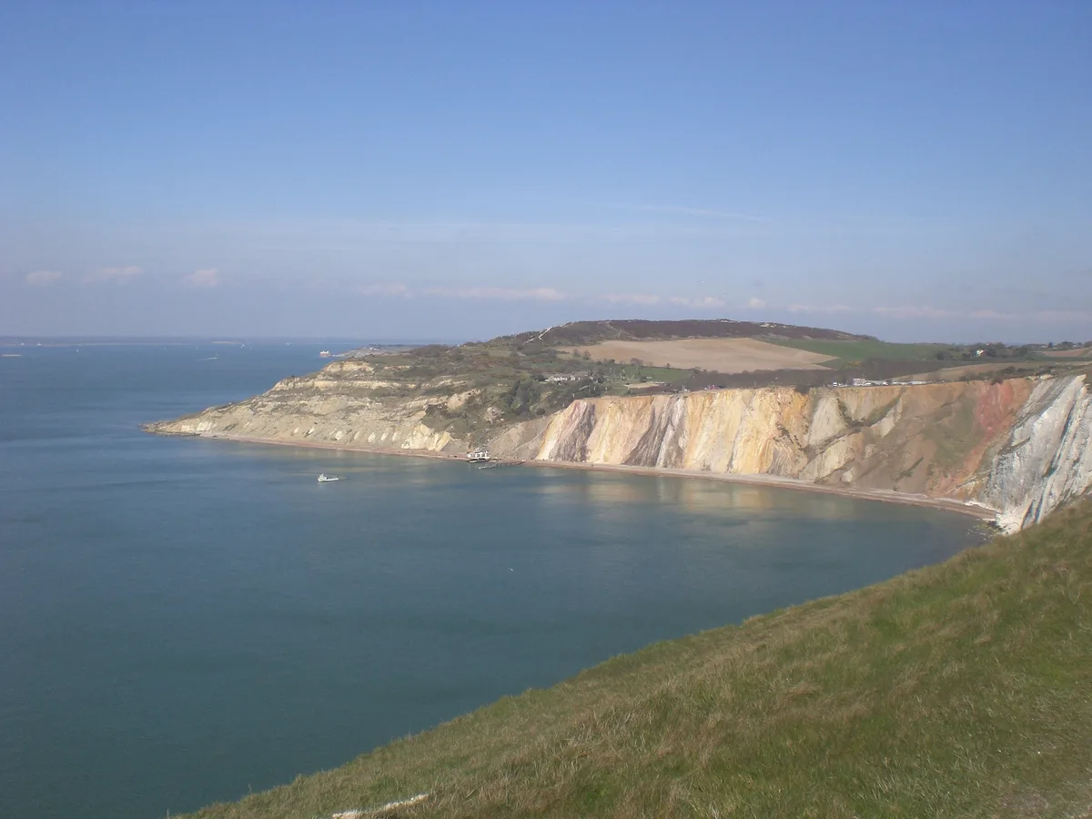
Alum Bay
Alum Bay is a mountain or hill in the United Kingdom.
 📷 5
📷 5Mountains & hills · South East England
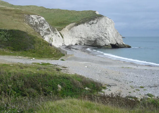
Arish Mell
Arish Mell — bay in Dorset, England.
 📷 5
📷 5Mountains & hills · South East England
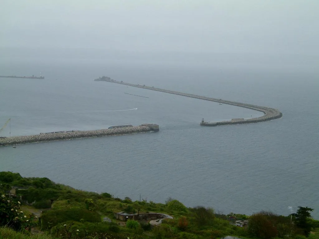
Balaclava Bay
Balaclava Bay — bay in Dorset, England.
 📷 5
📷 5Mountains & hills · South East England
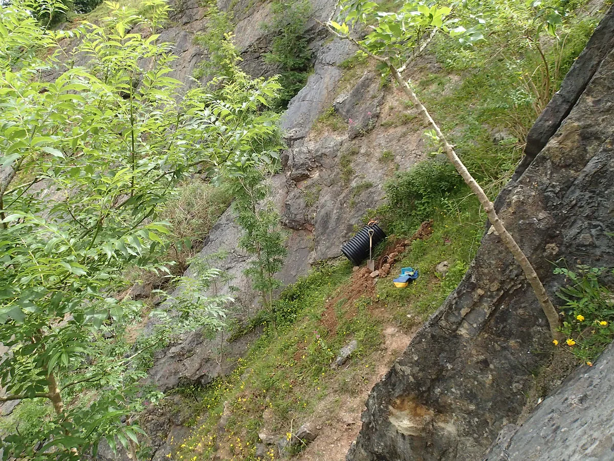
Balch Cave
Balch Cave — Cave in Somerset, England.
Frequently asked questions
- Where is Sidown Hill?
- Sidown Hill is in Hampshire, South-East England, United Kingdom (postcode RG20 9LT), in the parish of Highclere.
- Is Sidown Hill a protected site?
- Yes — Sidown Hill is part of the North Wessex Downs National Landscape (AONB).
- Is Sidown Hill free to visit?
- Yes, Sidown Hill is free to enter.
- How do I get to Sidown Hill?
- Drivers can navigate to postcode RG20 9LT. It sits within the North West Hampshire parliamentary constituency.