Natural landmarks · Northern Ireland
Shrigley
In or near Killyleagh.
Shrigley in Northern Ireland, United Kingdom.

Albert Bridge — CC BY-SA 2.0 via Wikimedia Commons licence
_-_geograph.org.uk_-_2861024.jpg)
Plan your visit
- Typical visit
- 1 h–2 h
- Nearest railway station
- Delamont · 3.3 km
- Free entry
- Dog-friendly
About
Shrigley is a place of interest in Northern Ireland, United Kingdom — drawn from open-data sources for visitor reference. See the linked Wikipedia article for the full description.
Photo gallery
From the Wikipedia article
Shrigley is a small village in County Down, Northern Ireland about a mile north-west of Killyleagh. It is named after Pott Shrigley in Cheshire. In the 2001 Census it had a population of 456. It lies within the Down District Council area.
Excerpt from Wikipedia under CC BY-SA 4.0. See the source article linked in Sources below.
Background
History
Shrigley is a small satellite industrial village which grew up around the large six-storey cotton mill built in 1824 by John Martin. In 1836, Shrigley mill had more power looms than any other factory in Ireland. In the following year, Samuel Lewis described it at length: The original mill was burned down in 1845. It was replaced by a flax-spinning mill, subsequently occupied by United Chrometanners Limited. The Grecian gate pillars, and some of the subsidiary stone buildings, were probably survivors of the original mill and stood until recently. Naturally, the mill became the principal source of employment in the locality. Most of the workers lived in Killyleagh, but a number of blackstone…
Sourced from Wikipedia under CC BY-SA 4.0.
- Coordinates
- 54.4110, -5.6640
- District
- Newry, Mourne and Down
- Postcode
- BT30 9SF
- Parliamentary constituency
- Strangford
- Nearest railway station
- Delamont — 3.3 km
Sources
- wikidata: Q7503955 (CC0)
- wikipedia: Shrigley, County Down (CC BY-SA 4.0)
Other places nearby
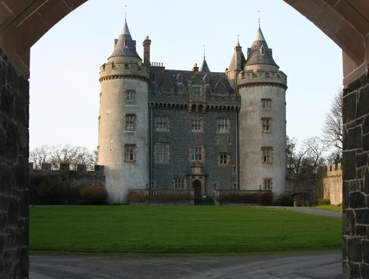
Killyleagh Castle
Castles · 1.1 km

EDYC Caravan and Camping Area
Campsites · 1.2 km
_-_geograph.org.uk_-_458764.jpg?width=1200)
Killyleagh
Towns & cities · 1.5 km

Hans Sloane
Public art & sculpture · 1.8 km

Moymore Fort
Archaeological sites · 1.9 km

Cuan Beach
Beaches · 2.2 km

Ardigon
Natural landmarks · 2.2 km

Delamont Miniature Railway
Miniature railways · 3.0 km

Delamont Country Park
Campsites · 3.0 km

Delamont Country Park
Country parks · 3.3 km

Strangford Stone
Public art & sculpture · 3.6 km

The Lodge at Quarterland Bay Camp Site
Campsites · 4.5 km
Nearby
📷 5Castles · Northern Ireland
Killyleagh Castle
Killyleagh Castle — castle in the village of Killyleagh, Northern Ireland.
📷 5Campsites · Northern Ireland
EDYC Caravan and Camping Area
EDYC Caravan and Camping Area — a campsite in northern ireland.
📷 5Towns & cities · Northern Ireland
Killyleagh
Killyleagh — village in County Down, Northern Ireland.
📷 5Public art & sculpture · Northern Ireland
Hans Sloane
Hans Sloane — a public art in northern-ireland, United Kingdom.
📷 2Archaeological sites · Northern Ireland
Moymore Fort
Moymore Fort — a archaeological in northern-ireland, United Kingdom.
📷 3Where to eat & stay near Shrigley
Places to stay
📷 5Campsites · Northern Ireland
EDYC Caravan and Camping Area
EDYC Caravan and Camping Area — a campsite in northern ireland.
📷 5Campsites · Northern Ireland
Delamont Country Park
Delamont Country Park — a campsite in northern ireland.
📷 3Campsites · Northern Ireland
The Lodge at Quarterland Bay Camp Site
The Lodge at Quarterland Bay Camp Site — a campsite in northern ireland.
 📷 4
📷 4Caravan parks · Northern Ireland
Quoile Yacht Club Caravan Park
Quoile Yacht Club Caravan Park — a caravan park in northern ireland.
 📷 5
📷 5Campsites · Northern Ireland
Castle Ward Caravan Park
Castle Ward Caravan Park — a campsite in northern ireland.
 📷 5
📷 5Caravan parks · Northern Ireland
Strangford Holiday Park
Strangford Holiday Park — a caravan park in northern ireland.
Places to eat & drink
 📷 3
📷 3Historic pubs · Northern Ireland
Soma Festival
The Soma Festival (Sanskrit: सोम, or sóma, meaning drink of the Gods, see Soma (drink); Irish: Féile Soma) is an annual music, arts, and cultural festival. The festival includes concerts, musical perf
More natural landmarks in this region
 Flagship📷 4
Natural landmarks · Northern Ireland
Lough Erne
Lough Erne — lake in County Fermanagh, Northern Ireland, UK.
 Flagship📷 4
Natural landmarks · Northern Ireland
Lough Neagh
Lough Neagh — large lake in Northern Ireland.
 📷 3
📷 3Natural landmarks · Northern Ireland
Ballysaggart Lough
Ballysaggart Lough — lake in the United Kingdom.
 📷 5
📷 5Natural landmarks · Northern Ireland
Belmore Mountain
Belmore Mountain — mountain in the United Kingdom.
Frequently asked questions
- Where is Shrigley?
- Shrigley is in Northern Ireland, United Kingdom (postcode BT30 9SF).
- What is Shrigley?
- Shrigley in Northern Ireland, United Kingdom.
- How do I get to Shrigley?
- The nearest railway station is Delamont, about 3.3 km away. Drivers can use postcode BT30 9SF.
- Is Shrigley free to visit?
- Yes, Shrigley is free to enter.
- How do I get to Shrigley?
- The nearest railway station is Delamont, about 3.3 km away. Drivers can navigate to postcode BT30 9SF.