Mountains & hills · South East England
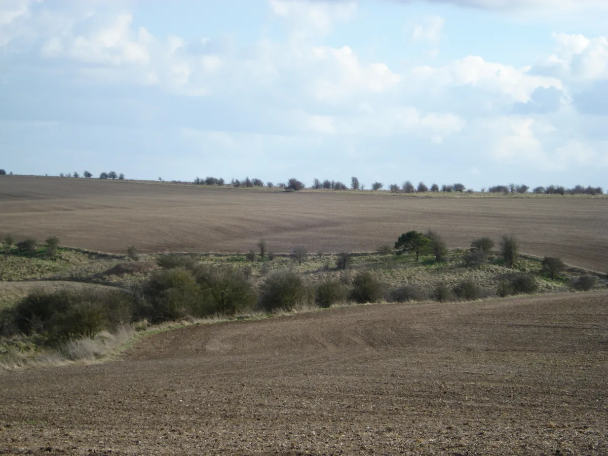
Sheep Down
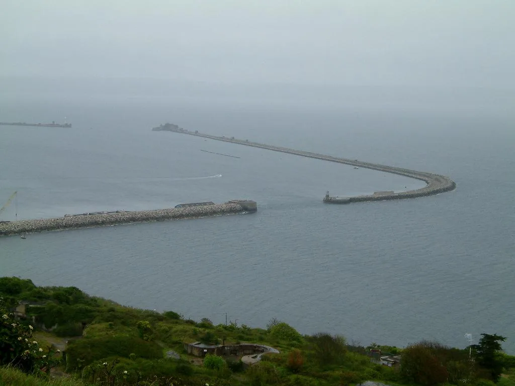
Sheep Down — mountain in england south east. Elevation: 192 m.

Oscar Taylor — CC BY-SA 2.0 via Wikimedia Commons licence
Plan your visit
- Typical visit
- 3 h–8 h
- Best time of year
- Late spring – early autumn (May–Oct)
About
Sheep Down is a mountain located in england south east. Elevation: 192 m. A named British peak recorded in OpenStreetMap. Peaks are typically named on Ordnance Survey 1:50k mapping.
Photo gallery
Place summary
Sheep Down is a mountain located in South-East England. It is part of the South Downs National Park, known for its scenic chalk hills and diverse wildlife. The area offers various walking trails, allowing visitors to explore the natural landscape and enjoy panoramic views. Sheep Down is a notable landmark for outdoor enthusiasts and those interested in the region's geology.
AI-generated from the structured facts on this page (operator, designation, listing, era). Not a substitute for visiting.
- Coordinates
- 51.5571, -1.3281
Sources
- osm: n11922564999 (ODbL)
Other places nearby
Loading nearby places…
Nearby
 📷 5
📷 5Archaeological sites · South East England
Grim's Ditch: section W of Chilton Plantation
Grim's Ditch: section W of Chilton Plantation — archaeological site in West Ilsley, Berkshire/Chilton, Oxfordshire, England, UK.
 📷 5
📷 5Archaeological sites · South East England
Grim's Ditch: section 1200yds (1100m) long from Chilton Plantation to Ridge Hill
Grim's Ditch: section 1200yds (1100m) long from Chilton Plantation to Ridge Hill — archaeological site in West Ilsley, Berkshire/Chilton, Oxfordshire, England, UK.
 📷 5
📷 5Mountains & hills · South East England
Cwichelmeshlaew Hill
Cwichelmeshlaew Hill — mountain in england south east. Elevation: 208 m.
 📷 5
📷 5Archaeological sites · South East England
Scutchamer Knob (Earthwork)
Scutchamer Knob (Earthwork) — a archaeological in england-south-east, United Kingdom.
📷 5Archaeological sites · South East England
Scutchamer Knob (Earthwork)
Scutchamer Knob (Earthwork) — archaeological in england south east.
 📷 5
📷 5Military museums · South East England
The Ridgeway
The Ridgeway — a military museum in england south east.
Where to eat & stay near Sheep Down
Places to stay
 📷 5
📷 5Hotels · West Midlands
Courtyard by Marriott Oxford South
Courtyard by Marriott Oxford South — a hotel in england west midlands.
 📷 5
📷 5Hostels · South East England
Court Hill Centre
Court Hill Centre — a hostel in england south east.
 📷 5
📷 5Hotels · South East England
The Bear Hotel
The Bear Hotel — a hotel in england south east.
 📷 5
📷 5Caravan parks · South East England
Woodhill Lane Caravan Park
Woodhill Lane Caravan Park — a caravan park in england south east.
 📷 5
📷 5Campsites · South East England
St. Peter's Farm
St. Peter's Farm — a campsite in england south east.
 📷 5
📷 5Hotels · South East England
DoubleTree
DoubleTree — a hotel in england south east.
Places to eat & drink
 📷 5
📷 5Historic pubs · South East England
The Wheatsheaf Public House
The Wheatsheaf Public House in England South East, United Kingdom.
 📷 5
📷 5Historic pubs · South East England
Fleur De Lys Public House
Fleur De Lys Public House in England South East, United Kingdom.
 📷 5
📷 5Historic pubs · South East England
The North Star Public House
The North Star Public House in England South East, United Kingdom.
 📷 5
📷 5Historic pubs · South East England
The Kings Arms Public House
The Kings Arms Public House in England South East, United Kingdom.
 📷 5
📷 5Historic pubs · South East England
King Alfred's Head Public House
King Alfred's Head Public House in England South East, United Kingdom.
 📷 5
📷 5Historic pubs · South East England
The Chequers Inn Public House
The Chequers Inn Public House in England South East, United Kingdom.
More mountains in this region
 📷 5
📷 5Mountains & hills · South East England
Alum Bay
Alum Bay is a mountain or hill in the United Kingdom.
 📷 5
📷 5Mountains & hills · South East England
Arish Mell
Arish Mell — bay in Dorset, England.
 📷 5
📷 5Mountains & hills · South East England
Balaclava Bay
Balaclava Bay — bay in Dorset, England.
 📷 5
📷 5Mountains & hills · South East England
Balch Cave
Balch Cave — Cave in Somerset, England.
Frequently asked questions
- Where is Sheep Down?
- Sheep Down is in South-East England, United Kingdom.
- What is Sheep Down?
- Sheep Down — mountain in england south east. Elevation: 192 m.
- How do I get to Sheep Down?
- Its coordinates are 51.5571°, -1.3281°.