
Natural landmarks · South West England
Shearwater
In or near Brixton Deverill.
Shearwater — lake in the United Kingdom.

Wikimedia Commons contributors — see linked file page for photographer and licence licence

Plan your visit
- Typical visit
- 1 h–2 h
- Nearest railway station
- Warminster · 4.0 km
- Free entry
- Dog-friendly
Getting there & planning your visit
To visit Shearwater, the nearest railway station is Warminster, located 4 km away. The postcode for navigation is BA12 8AE, and entry to the site is free.
About
Shearwater is a named natural landmark in the United Kingdom. Wikidata describes it as: "lake in the United Kingdom". Coordinates: 51.1780°, -2.2100°.
Photo gallery
Protected designations
- Area of Outstanding Natural Beauty: Cranborne Chase & West Wiltshire Downs
Designations sourced from Natural England open data under OGL v3.
From the Wikipedia article
Shearwater (or Shear Water) is a man-made freshwater lake near Crockerton village, about 2+1⁄4 miles (3.6 km) southwest of the town of Warminster in Wiltshire, England. The lake is formed from a tributary of the River Wylye. It is within the Longleat Estate (which also contains a Safari Park) and is one of five lakes of various sizes. Shearwater Lake, the largest, was created at the end of the 18th century, and designed by the 3rd Duke of Bridgwater, Francis Egerton. It is fed by streams dammed by the then Marquis of Bath. The lake is surrounded by mature woodland and is popular with anglers, walkers (especially those with dogs), runners, and cyclists. It is about 650 yards long. There is a tea-room at Bargate Cottage which accepts dogs inside. The Shearwater Sailing Club has a boathouse and a variety of dinghies on the lake, the largest being sixteen feet (4.9 meters) in length.
Excerpt from Wikipedia under CC BY-SA 4.0. See the source article linked in Sources below.
- Coordinates
- 51.1780, -2.2100
- District
- Wiltshire
- Parish
- Longbridge Deverill
- Postcode
- BA12 8AE
- Parliamentary constituency
- South West Wiltshire
- Nearest railway station
- Warminster — 4 km
- Official site
- www.longleat.co.uk
Sources
- wikidata: Q7492217 (CC0)
- wikipedia: Shearwater (lake) (CC BY-SA 4.0)
- commons: A winter's day Shearwater - geograph.org.uk - 89624.jpg (CC BY-SA 4.0)
Other places nearby

The Bath Arms
Historic pubs · 0.9 km

Botany Camping & Glamping
Campsites · 1.7 km

Pottery Painting
Natural landmarks · 1.9 km

Longbridge Deverill
Villages · 2.0 km

Unidentified Monument In The Churchyard About 1 Metre North Of Chancel Of Church Of The Assumption
Memorials & monuments · 2.3 km

Aqua Sana Spa
Lidos & outdoor pools · 2.4 km

The Bell And Crown Public House
Historic pubs · 2.6 km
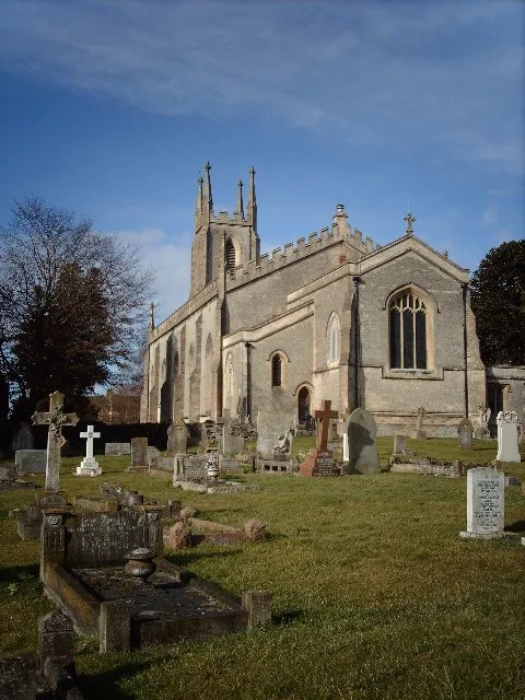
Christ Church, Warminster
Historic churches · 2.9 km

Park Hill
Mountains & hills · 3.1 km

Blutopia (blue)
Mountain bike trails · 3.1 km
Empuru (red)
Mountain bike trails · 3.1 km
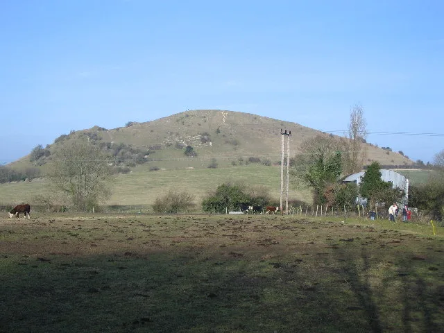
Cley Hill
Mountains & hills · 3.2 km
Nearby
📷 7Historic pubs · South West England
The Bath Arms
The Bath Arms in England South West, United Kingdom.
📷 5Campsites · South West England
Botany Camping & Glamping
Botany Camping & Glamping — a campsite in england south east.
📷 5Natural landmarks · South West England
Pottery Painting
Pottery Painting — a other in england-south-east, United Kingdom.
📷 5Villages · South West England
Longbridge Deverill
Longbridge Deverill — a village in england south east.
📷 4Memorials & monuments · South West England
Unidentified Monument In The Churchyard About 1 Metre North Of Chancel Of Church Of The Assumption
Unidentified Monument In The Churchyard About 1 Metre North Of Chancel Of Church Of The Assumption — Grade II listed building-listed memorial in england-south-east, United Kingdom.
📷 5Lidos & outdoor pools · South West England
Aqua Sana Spa
Aqua Sana Spa — a lido in england south east.
Where to eat & stay near Shearwater
Places to stay
📷 5Campsites · South West England
Botany Camping & Glamping
Botany Camping & Glamping — a campsite in england south east.
 📷 5
📷 5 📷 5
📷 5Hotels · South West England
The Bishopstrow Hotel & Spa
The Bishopstrow Hotel & Spa — a hotel in england south east.
 📷 5
📷 5Caravan parks · South West England
Longleat Caravan Club Site
Longleat Caravan Club Site — a caravan park in england south east.
 📷 5
📷 5 📷 5
📷 5Places to eat & drink
📷 7Historic pubs · South West England
The Bath Arms
The Bath Arms in England South West, United Kingdom.
📷 7Historic pubs · South West England
The Bell And Crown Public House
The Bell And Crown Public House in England South West, United Kingdom.
 📷 5
📷 5Historic pubs · South West England
The Old Bell Public House
The Old Bell Public House in England South West, United Kingdom.
 📷 7
📷 7Historic pubs · South West England
The Bath Arms
The Bath Arms in England South West, United Kingdom.
 📷 6
📷 6Restaurants · South West England
New China Cottage
New China Cottage — a restaurant in england south east.
 📷 6
📷 6Historic pubs · South West England
The Three Swan's Inn
The Three Swan's Inn in England South West, United Kingdom.
More natural landmarks in this region
 📷 5
📷 5Natural landmarks · South West England
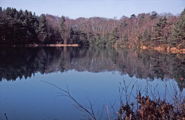
Blue Pool
Blue Pool — lake in Dorset, England, UK.
 📷 5
📷 5Natural landmarks · South West England
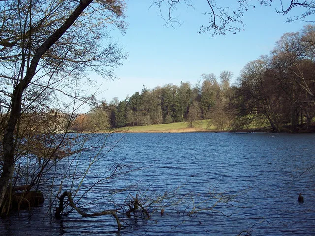
Fonthill Lake
Fonthill Lake — lake in Wiltshire, England, UK.
 📷 5
📷 5 📷 5
📷 5Natural landmarks · South West England
Orchardleigh Lake
Orchardleigh Lake — lake in the United Kingdom.
Frequently asked questions
- Where is Shearwater?
- Shearwater is in South-West England, United Kingdom (postcode BA12 8AE), in the parish of Longbridge Deverill.
- What is Shearwater?
- Shearwater — lake in the United Kingdom.
- How do I get to Shearwater?
- The nearest railway station is Warminster, about 4.0 km away. The nearest town is Brixton Deverill. Drivers can use postcode BA12 8AE.
- Is Shearwater a protected site?
- Yes — Shearwater is part of the Cranborne Chase & West Wiltshire Downs National Landscape (AONB).
- Is Shearwater free to visit?
- Yes, Shearwater is free to enter.
- How do I get to Shearwater?
- The nearest railway station is Warminster, about 4.0 km away. Drivers can navigate to postcode BA12 8AE.