
Hill forts · North West England
Shap Stone Avenue
In or near Shap.
Shap Stone Avenue — Neolithic stone complex in Cumbria, England.

Wikimedia Commons contributors — see linked file page for photographer and licence licence

Plan your visit
- Typical visit
- 1 h–2 h
- Free entry
- Dog-friendly
About
Shap Stone Avenue is a hill fort in the United Kingdom. Wikidata describes it as: "Neolithic stone complex in Cumbria, England". Coordinates: 54.5131°, -2.6688°.
Photo gallery
See it from the streetimagery from 2019
Imagery © Mapillary contributors, CC BY-SA 4.0
Protected designations
- Site of Special Scientific Interest: River Eden and Tributaries SSSI
- Area of Outstanding Natural Beauty: North Pennines
Designations sourced from Natural England open data under OGL v3.
From the Wikipedia article
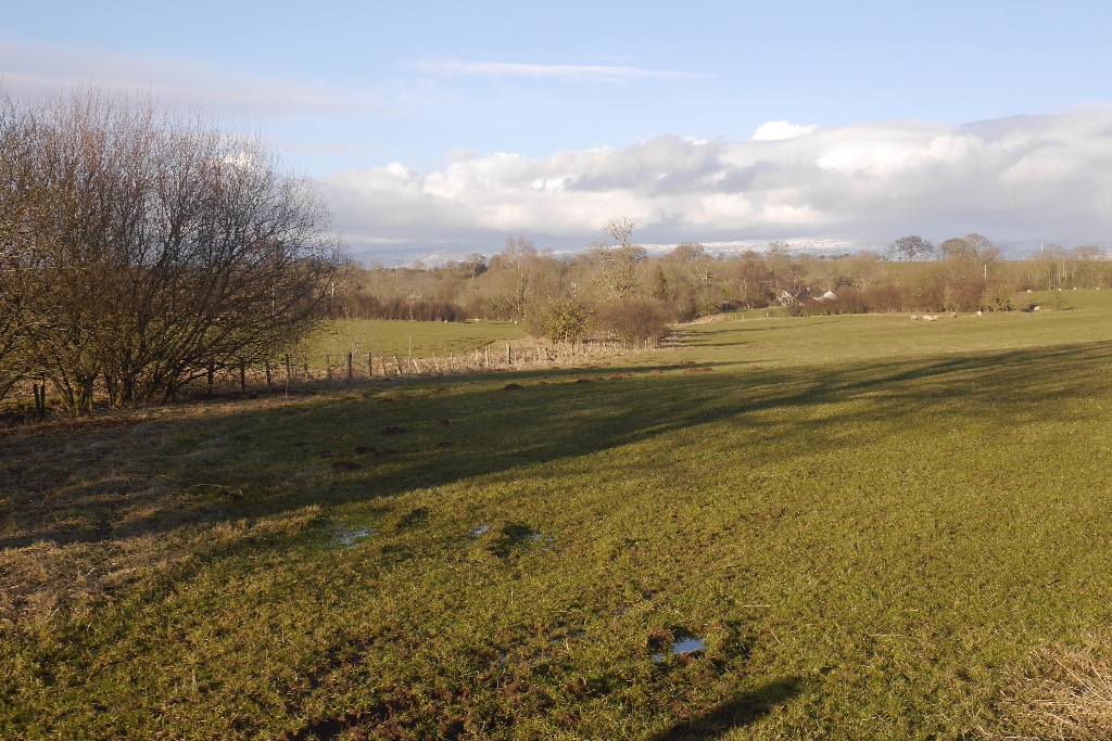
Shap Avenue is the name given to a, now mostly destroyed, megalithic complex near the village of Shap in Cumbria, England, comprising at least two stone circles, a two-mile avenue of megalithic standing stones, and several adjacent burial mounds. Before its destruction, it was one of the largest megalithic monuments in Europe. As it survives today, the site comprises a rough and highly damaged avenue of stones arranged over a mile, aligned northwest. At its southern end is the avenue's terminal, a stone circle named 'Kemp Howe', which has been mostly buried by a rail embankment. Up until the 18th century, Shap Avenue was comparable to Avebury in Wiltshire, making it a popular tourist destination for antiquarians. William Stukeley, famous for his work at Avebury, visited the site before its destruction, sometime before 1725. He said of Shap Avenue: “Though it's ourney be northward ... it makes a very large curve, or an arc of a circle, as those at Avebury, and passes over a brook too. A spring likewise arises in it, near the Greyhound inn.” Stukeley had earlier received a plan of the monument from a local antiquarian (now missing). Of this, he notes: "I have gott a vast drawing and measurement from Mr. Routh, of Carlisle, of the stones at Shap, in Westmoreland, which I desired from him. They give me so much satisfaction that verily I shall call on you next year to take another religions pilgrimage' with me thither. I find it to be, what I always supposed, another huge serpentine temple, like that of ABVRY. The measure of what are left extends a mile and a half, but without doubt a great deal of it has been demolished by the town, and by everything else thereabouts..."
Excerpt from Wikipedia under CC BY-SA 4.0. See the source article linked in Sources below.
Background
Description
The original avenue was said to comprise a large avenue of stones incorporating a massive stone circle at its centre known as 'Carl Lofts'. This was reported to be centred around the Greyhound Inn, near the southern end of Shap. At its ends were megalithic terminals (not unlike the Sanctuary at Avebury, which terminated West Kennet Avenue). A significant burial cairn, known as 'Skellaw Hill', is found at the avenue's northern end, though most stones have now been lost. Landscape archaeology can confirm the avenue, Skellaw Hill, and the terminals, but not Carl Lofts, which may have been misreported. In many cases, it is not clear whether antiquarians visited the site prior to describing it.…
Sourced from Wikipedia under CC BY-SA 4.0.
- Coordinates
- 54.5131, -2.6688
- District
- Westmorland and Furness
- Parish
- Shap
- Postcode
- CA10 3PZ
- Parliamentary constituency
- Westmorland and Lonsdale
Sources
- wikidata: Q14949378 (CC0)
- wikipedia: Shap Stone Avenue (CC BY-SA 4.0)
- commons: Goggleby Stone - geograph.org.uk - 1889779.jpg (CC BY-SA 4.0)
Other places nearby

Lingly Hill
Mountains & hills · 1.0 km

Shap railway station
Heritage railway stations · 1.1 km

Nuttall Sidings
Public art & sculpture · 1.3 km

Hardendale Nab
Mountains & hills · 1.6 km

Slate Hill
Mountains & hills · 1.7 km

The Exhibit ‘A’ Gallery
Galleries · 1.8 km

Shap
Towns & cities · 1.8 km

Keld
Abbeys & priories · 1.9 km

Keld Chapel
Chapels · 1.9 km

Shap Summit
Mountains & hills · 1.9 km

Wet Sleddale Meadows
National parks · 1.9 km

Hardendale
Other places · 2.0 km
Nearby
📷 5Mountains & hills · North West England
Lingly Hill
Lingly Hill — mountain in england north east. Elevation: 252 m.
📷 3Heritage railway stations · North West England
Shap railway station
Shap railway station in England North East, United Kingdom.
📷 3Public art & sculpture · North West England
Nuttall Sidings
Nuttall Sidings — a public art in england-north-east, United Kingdom.
📷 5Mountains & hills · North West England
Hardendale Nab
Hardendale Nab — a hill or mountain in england north east.
📷 5Mountains & hills · North West England
Slate Hill
Slate Hill — mountain in england north east. Elevation: 292 m.
📷 3Galleries · North West England
The Exhibit ‘A’ Gallery
The Exhibit ‘A’ Gallery — a gallery in england-north-east, United Kingdom.
Where to eat & stay near Shap Stone Avenue
Places to stay
 📷 5
📷 5Campsites · North West England
New Ing Lodge Camping
New Ing Lodge Camping — a campsite in england north east.
📷 5Hostels · North West England
New Ing Lodge
New Ing Lodge — a hostel in england north east.
 📷 5
📷 5Caravan parks · North East England
Midtown Farm Camping & Caravan Site
Midtown Farm Camping & Caravan Site — a caravan park in england north east.
 📷 5
📷 5 📷 5
📷 5Caravan parks · North West England
Tebay Caravan Park
Tebay Caravan Park — a caravan park in england north west.
 📷 5
📷 5Caravan parks · North West England
Newby End Farm Caravan Site
Newby End Farm Caravan Site — a caravan park in england north east.
Places to eat & drink
 📷 5
📷 5Historic pubs · North East England
1, Scattergate
1, Scattergate in England North East, United Kingdom.
 📷 5
📷 5Historic pubs · North West England
Horse And Farrier Inn And Stables
Horse And Farrier Inn And Stables in Scotland Lowlands, United Kingdom.
 📷 7
📷 7Historic pubs · North West England
Two Lions public house and integral stables
Two Lions public house and integral stables in Scotland Lowlands, United Kingdom.
 📷 6
📷 6Historic pubs · North West England
Gloucester Arms
Gloucester Arms in Scotland Lowlands, United Kingdom.
 📷 7
📷 7Cafés · North West England
Narrowbar Cafe
Narrowbar Cafe — a café in scotland lowlands.
 📷 3
📷 3More places in this region
 📷 5
📷 5Hill forts · North West England
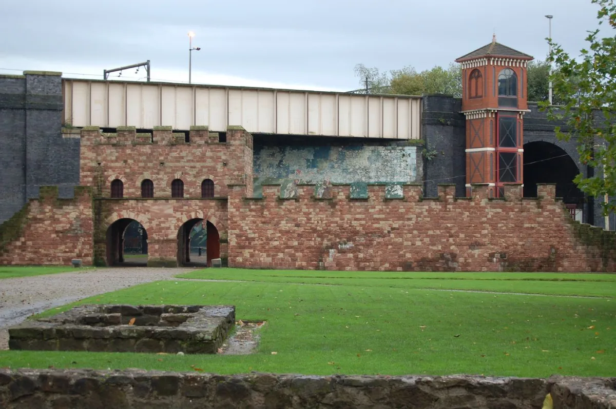
Mamucium
Mamucium — former Roman fort in the Castlefield area of Manchester in North West England.
 📷 3
📷 3Hill forts · North West England
Timperley Hall
Timperley Hall is a hill fort in the United Kingdom.
 📷 3
📷 3Hill forts · North West England
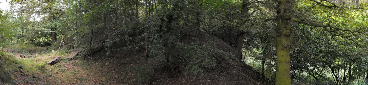
Watch Hill Castle
Watch Hill Castle — medieval castle in Bowdon, Greater Manchester, England, UK.
 📷 5
📷 5Hill forts · North West England
Buckton Castle
Buckton Castle — 12th-century castle in Mossley, Greater Manchester, England, UK.
Frequently asked questions
- Where is Shap Stone Avenue?
- Shap Stone Avenue is in North-West England, United Kingdom (postcode CA10 3PZ), in the parish of Shap.
- What is Shap Stone Avenue?
- Shap Stone Avenue — Neolithic stone complex in Cumbria, England.
- How do I get to Shap Stone Avenue?
- The nearest town is Shap. Drivers can use postcode CA10 3PZ.
- Who owns Shap Stone Avenue?
- Shap Stone Avenue is owned by Mostly private farmland.
- Is Shap Stone Avenue a protected site?
- Yes — Shap Stone Avenue is part of the River Eden and Tributaries SSSI Site of Special Scientific Interest and the North Pennines National Landscape (AONB).
- Is Shap Stone Avenue free to visit?
- Yes, Shap Stone Avenue is free to enter.
- How do I get to Shap Stone Avenue?
- Drivers can navigate to postcode CA10 3PZ. It sits within the Westmorland and Lonsdale parliamentary constituency.