
Cathedrals · North West England
Shap Abbey
In or near Shap.
Shap Abbey is a cathedral in the United Kingdom.

Simon Ledingham — CC BY-SA 2.0 via Wikimedia Commons licence

Plan your visit
- Typical visit
- 1 h–2 h
- Best time of year
- Year-round
- Family-friendly
- Limited wheelchair access
Getting there & planning your visit
To visit Shap Abbey, you can use the postcode CA10 3NB for sat-nav directions. Entry is free, but please note that wheelchair accessibility is limited.
About
Shap Abbey is a cathedral in england north east, United Kingdom — the principal church of its diocese, dating from 1101. Cathedrals are seats of bishops in the Church of England, the Roman Catholic Church, and other Christian denominations across Britain.
Photo gallery
Protected designations
- Site of Special Scientific Interest: River Eden and Tributaries SSSI
- Area of Outstanding Natural Beauty: North Pennines
Designations sourced from Natural England open data under OGL v3.
From the Wikipedia article
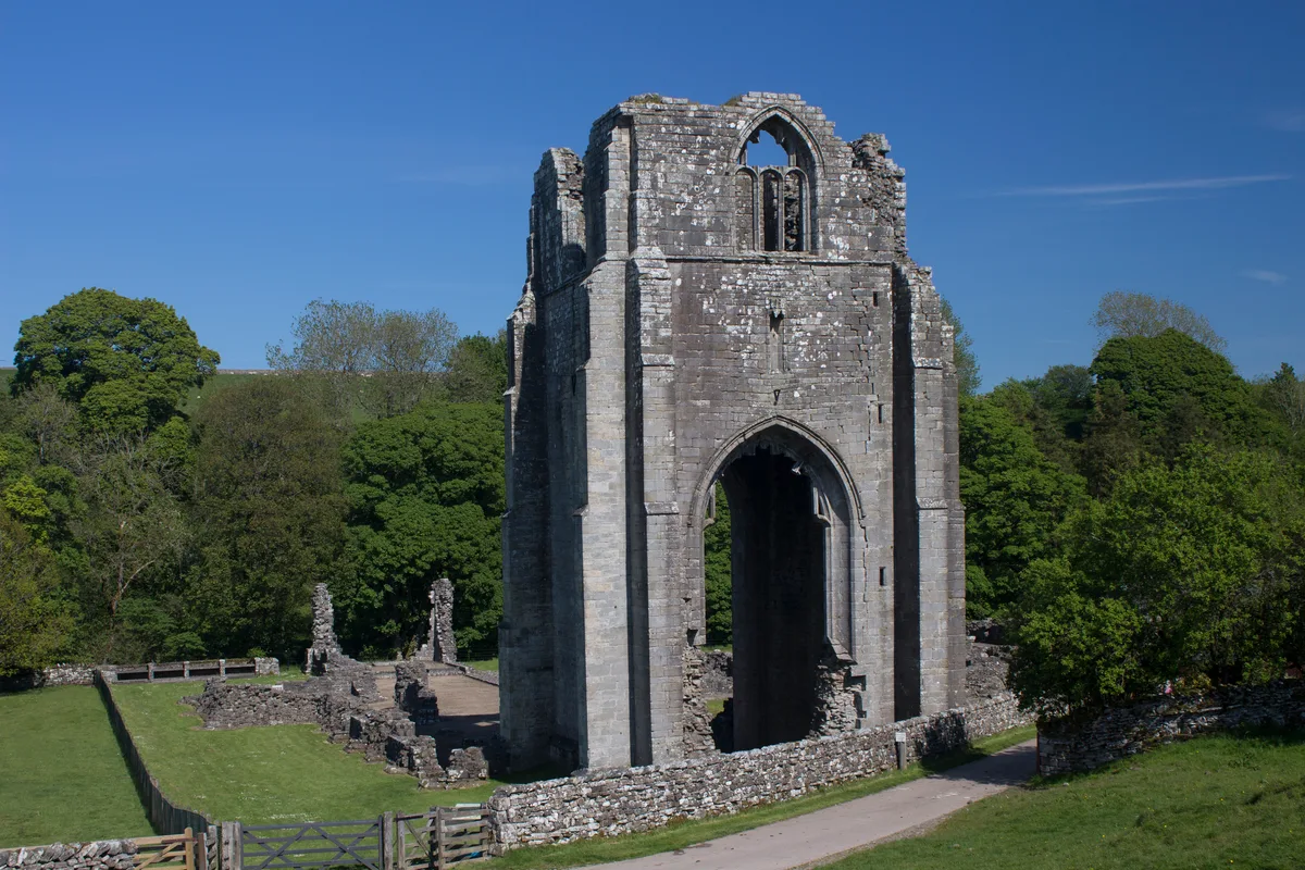
Shap Abbey was a religious house of the Premonstratensian order of Canons regular situated on the western bank of the River Lowther in the civil parish of Shap Rural, around 1.5 miles (2.4 km) from the village of Shap, in Westmorland and Furness, Cumbria, England. The site is in the care of English Heritage and managed on its behalf by the Lake District National Park.
Excerpt from Wikipedia under CC BY-SA 4.0. See the source article linked in Sources below.
Background
History
Although the present Shap Abbey was built in 1199, the monastic community was founded on another site 20 miles south near Kendal in 1190, but it moved to the present site, then called 'Hepp', in 1199. The old name meant 'a heap' but it gradually assumed the present-day name "Shap" over the next 100 years. One of the abbots was the impressive Richard Redman (died 1505), later successively Bishop of St Asaph (c. 1471), Bishop of Exeter (1495), and Bishop of Ely (1501). He is remembered by a magnificent funeral monument in Ely Cathedral Shap Abbey escaped the initial phase of the Dissolution of the Monasteries in 1536, but it was closed in 1540 and subsequently sold to the Governor of…
Visiting
The site is open to the public at all reasonable times and entry is free. Facilities are limited to a car park and a short path leading over the fields to the small 16th-century Keld Chapel, now in the care of the National Trust. <gallery> Image:ShapAbbey(SimonLedingham)Aug2004.jpg|Shap Abbey August 2004, from the air. Image:Shap abbey.jpg|Remains of Shap Abbey tower </gallery>
Sourced from Wikipedia under CC BY-SA 4.0.
- Coordinates
- 54.5287, -2.6989
- District
- Westmorland and Furness
- Parish
- Shap
- Postcode
- CA10 3NB
- Parliamentary constituency
- Westmorland and Lonsdale
- Established
- 1101
- Official site
- www.english-heritage.org.uk
Sources
- wikidata: Q2820725 (CC0)
- wikipedia: Shap Abbey (CC BY-SA 4.0)
Other places nearby
Shap Abbey
Abbeys & priories · 0.0 km

Keld Chapel
Chapels · 0.7 km

Keld
Abbeys & priories · 0.8 km

Hill of Skulls
Archaeological sites · 0.9 km

Skellaw Hill
Mountains & hills · 1.0 km

Lanshaw Hill
Mountains & hills · 1.3 km

The Exhibit ‘A’ Gallery
Galleries · 1.4 km

New Ing Lodge
Hostels · 1.5 km

Shap
Towns & cities · 1.5 km
New Ing Lodge Camping
Campsites · 1.5 km

Shap War Memorial
Memorials & monuments · 1.6 km

Lingly Hill
Mountains & hills · 1.8 km
Nearby
📷 4Abbeys & priories · North West England
Shap Abbey
Shap Abbey — abbey in the Eden District of Cumbria, England, UK.
📷 3📷 4📷 3Archaeological sites · North West England
Hill of Skulls
Hill of Skulls — a archaeological in england-north-east, United Kingdom.
📷 5Mountains & hills · North West England
Skellaw Hill
Skellaw Hill — mountain in england north east. Elevation: 260 m.
📷 5Mountains & hills · North West England
Lanshaw Hill
Lanshaw Hill — mountain in england north east. Elevation: 290 m.
Where to eat & stay near Shap Abbey
Places to stay
📷 5📷 5Campsites · North West England
New Ing Lodge Camping
New Ing Lodge Camping — a campsite in england north east.
 📷 5
📷 5 📷 5
📷 5Caravan parks · North East England
Midtown Farm Camping & Caravan Site
Midtown Farm Camping & Caravan Site — a caravan park in england north east.
 📷 5
📷 5Caravan parks · North West England
Oaklands Country Park
Oaklands Country Park — a caravan park in england north east.
 📷 5
📷 5Caravan parks · North West England
Newby End Farm Caravan Site
Newby End Farm Caravan Site — a caravan park in england north east.
Places to eat & drink
 📷 5
📷 5Historic pubs · North East England
1, Scattergate
1, Scattergate in England North East, United Kingdom.
 📷 5
📷 5Historic pubs · North West England
Horse And Farrier Inn And Stables
Horse And Farrier Inn And Stables in Scotland Lowlands, United Kingdom.
 📷 7
📷 7Historic pubs · North West England
Two Lions public house and integral stables
Two Lions public house and integral stables in Scotland Lowlands, United Kingdom.
 📷 6
📷 6Historic pubs · North West England
Gloucester Arms
Gloucester Arms in Scotland Lowlands, United Kingdom.
 📷 7
📷 7Cafés · North West England
Narrowbar Cafe
Narrowbar Cafe — a café in scotland lowlands.
 📷 3
📷 3More cathedrals in this region
 📷 4
📷 4Cathedrals · North West England
Manchester Cathedral
Manchester Cathedral — a Grade I-listed cathedral in england-west-midlands, United Kingdom.
 📷 3
📷 3Cathedrals · North West England
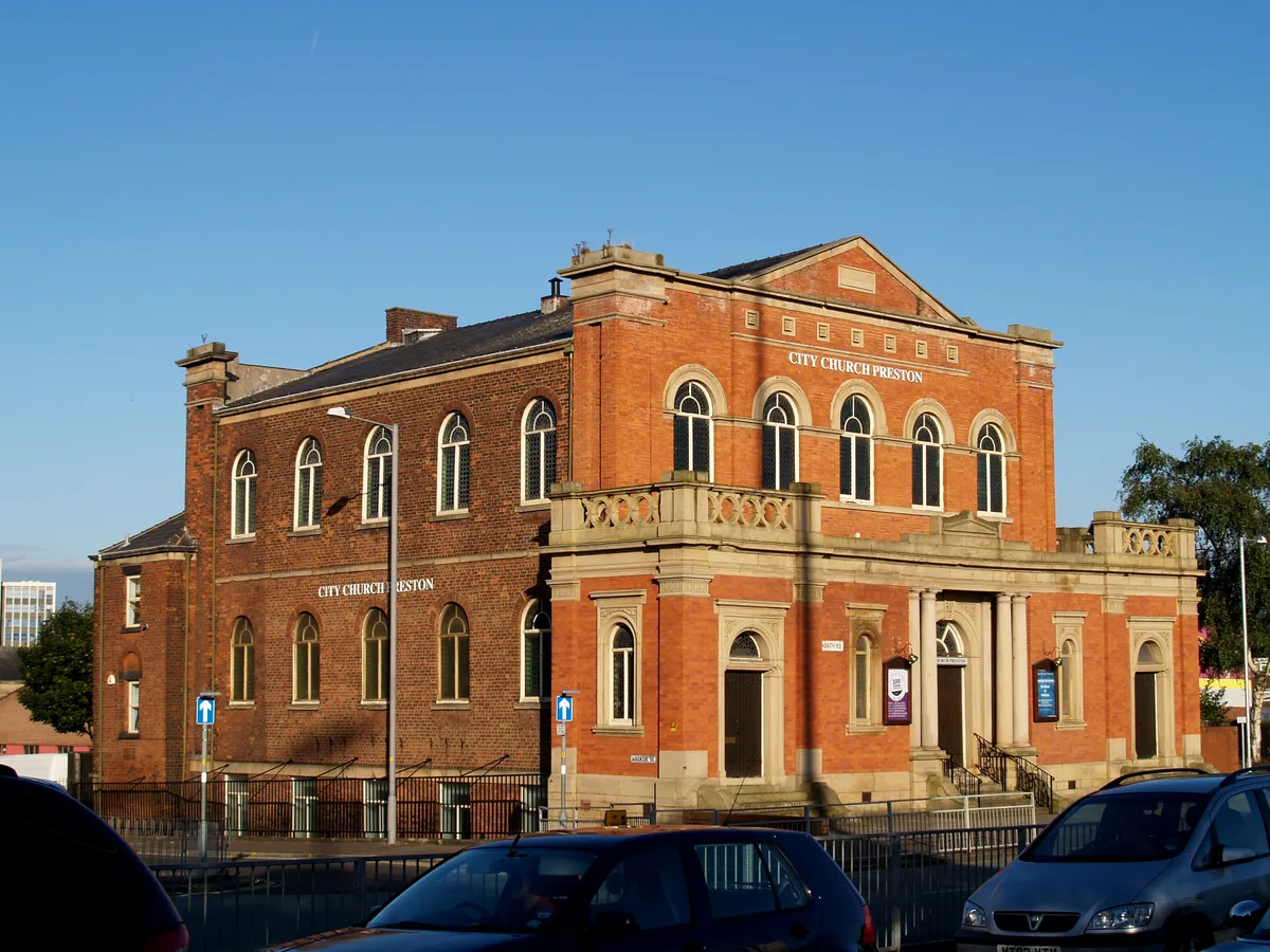
City Mosque Preston
City Mosque Preston — church building in Preston, Lancashire, England, UK.
 📷 5
📷 5Cathedrals · North West England
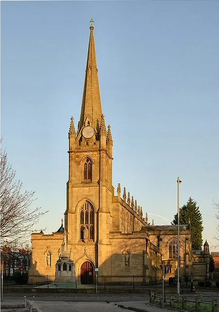
Syro-Malabar Cathedral of St Alphonsa, Preston
Syro-Malabar Cathedral of St Alphonsa, Preston — church in Preston, UK.
 Flagship📷 4
Cathedrals · North West England
Chester Cathedral
Former Benedictine abbey within Roman city walls — intact medieval cloisters and misericords.
Frequently asked questions
- Where is Shap Abbey?
- Shap Abbey is in North-East England, United Kingdom (postcode CA10 3NB), in the parish of Shap.
- What is Shap Abbey?
- Shap Abbey is a cathedral in the United Kingdom.
- How do I get to Shap Abbey?
- Drivers can use postcode CA10 3NB.
- When was Shap Abbey built?
- Built or established in 1101.
- Who owns Shap Abbey?
- Shap Abbey is owned by English Heritage.
- Is Shap Abbey a protected site?
- Yes — Shap Abbey is part of the River Eden and Tributaries SSSI Site of Special Scientific Interest and the North Pennines National Landscape (AONB).
- How do I get to Shap Abbey?
- Drivers can navigate to postcode CA10 3NB. It sits within the Westmorland and Lonsdale parliamentary constituency.