
Natural landmarks · Scottish Highlands
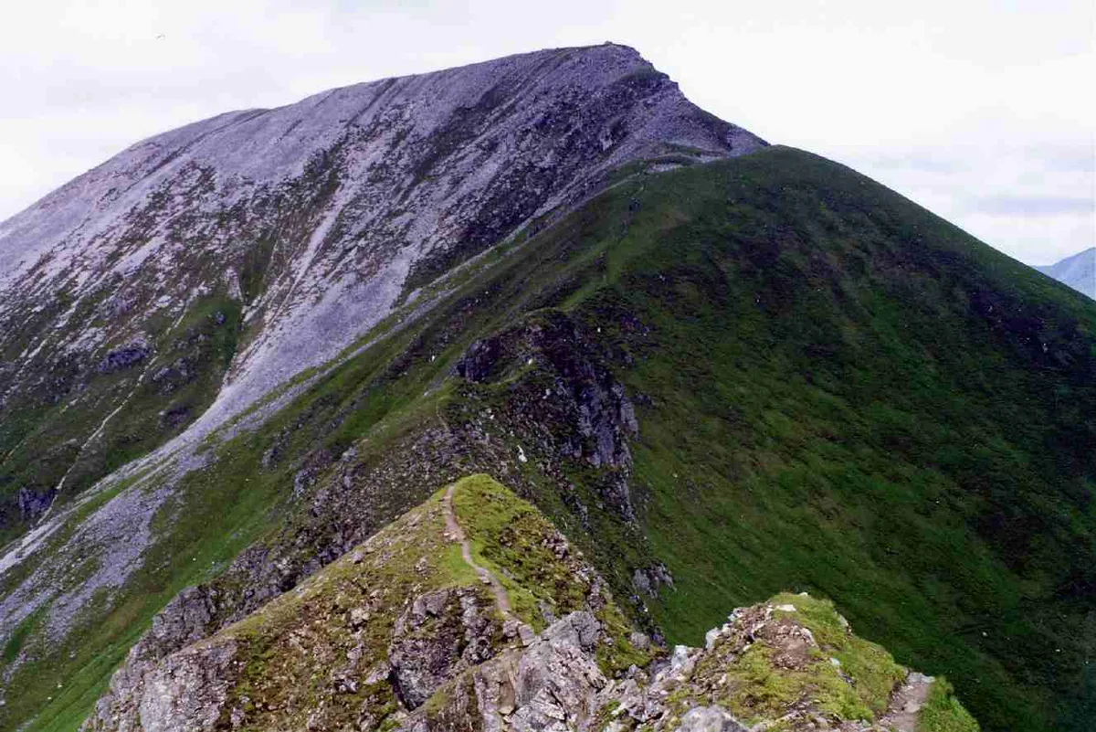
Sgùrr a' Mhàim
Also known as: Sgurr a'Mhaim
In or near Kinlochleven.
Sgùrr a' Mhàim — 1099m high mountain in Highland, Scotland, UK.

Wikimedia Commons contributors — see linked file page for photographer and licence licence

Plan your visit
- Typical visit
- 1 h–2 h
- Nearest railway station
- Fort William · 9.5 km
- Free entry
- Dog-friendly
Getting there & planning your visit
To visit Sgùrr a' Mhàim in the Scottish Highlands, the nearest railway station is Fort William, which is 9.5 km away. Entry to the landmark is free.
About
Sgùrr a' Mhàim is a named natural landmark in the United Kingdom. Wikidata describes it as: "1099m high mountain in Highland, Scotland, UK". Coordinates: 56.7559°, -5.0037°.
Photo gallery
Official information
Sgùrr a' Mhàim is a mountain located on a spur north of the Mamores ridge, known for its summit covered in quartzite that can appear snow-like from Glen Nevis. Visitors can enjoy various hiking routes, including the classic 4 Munro challenge and the traverse of the entire Mamores ridge.
From the Wikipedia article
Sgùrr a' Mhàim (Scottish Gaelic: [ˈs̪kuːrˠ ə ˈvãːjm]) (Scottish Gaelic for 'rocky peak of the rounded hill') is a mountain of the Mamores range in the Scottish Highlands. It is directly south of Ben Nevis, on the other side of Glen Nevis. With a height of 1,099 metres (3,605 feet), Sgùrr a' Mhàim is a Munro and the second-highest peak in the Mamores. Its cap of quartzite stones give it a light grey appearance which can be mistaken for a covering of snow.
Excerpt from Wikipedia under CC BY-SA 4.0. See the source article linked in Sources below.
- Coordinates
- 56.7559, -5.0037
- Address
- Lochaber, Scotland
- Nearest railway station
- Fort William — 9.5 km
- Official site
- www.walkhighlands.co.uk
Sources
- wikidata: Q3397511 (CC0)
- wikipedia: Sgùrr a' Mhàim (CC BY-SA 4.0)
- commons: Sgurr a' Mhaim from the Devils Ridge.jpg (CC BY-SA 4.0)
Other places nearby
Sgùrr a' Mhàim
Mountains & hills · 0.0 km

Sgurr a' Mhaim
Mountains & hills · 0.0 km

Stob Choire a' Mhail
Mountains & hills · 0.7 km

Sgurr a' Mhaim - Stob Choire a' Mhail
Mountains & hills · 0.7 km

Sgor an Iubhair
Mountains & hills · 1.2 km

Sgùrr an Iubhair
Mountains & hills · 1.2 km

Wild Camp
Campsites · 1.4 km

Point 909
Mountains & hills · 2.0 km

Stob Coire a' Chairn South Top
Mountains & hills · 2.0 km
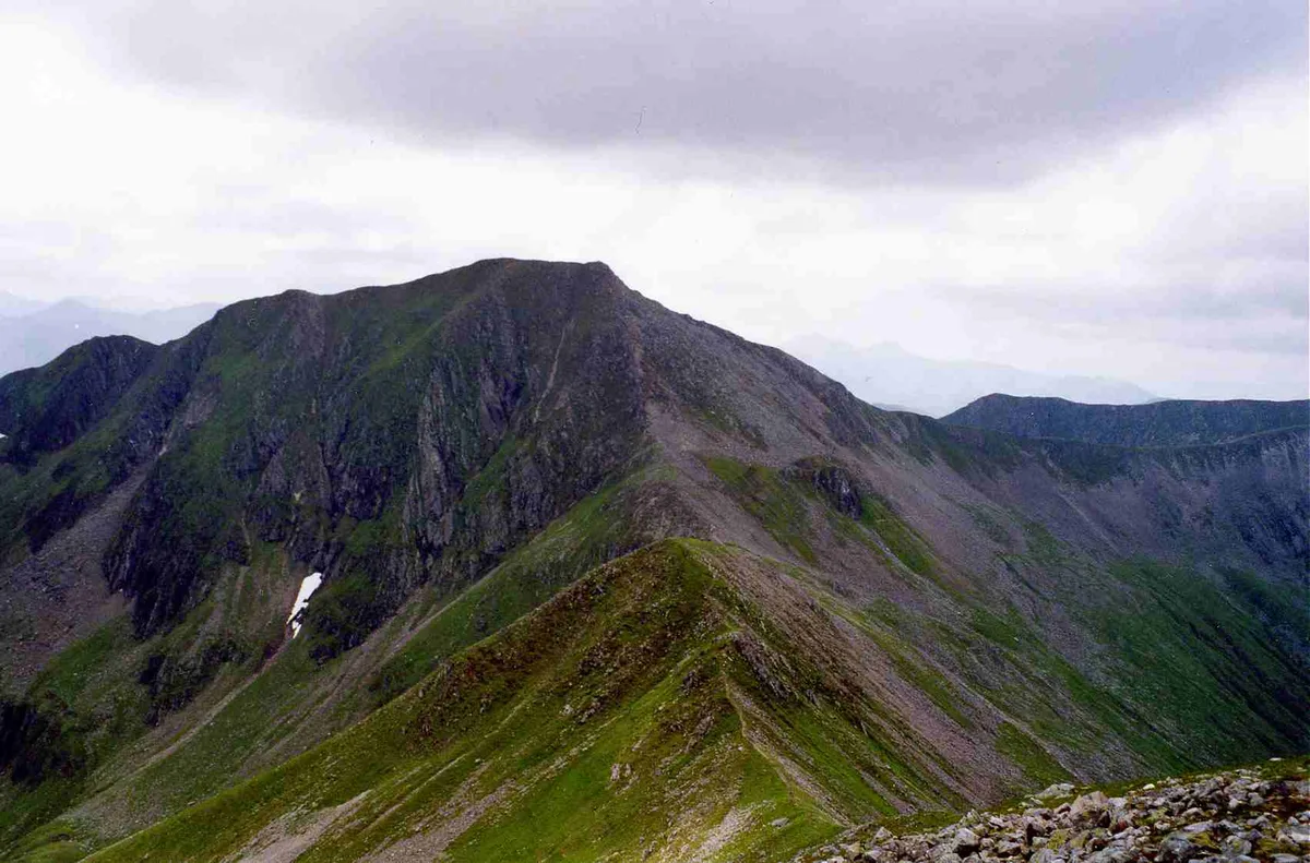
Am Bodach
Natural landmarks · 2.0 km
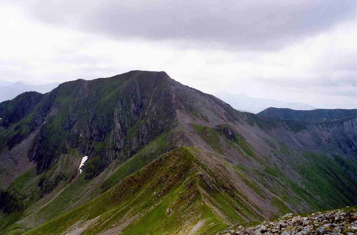
Am Bodach
Mountains & hills · 2.0 km
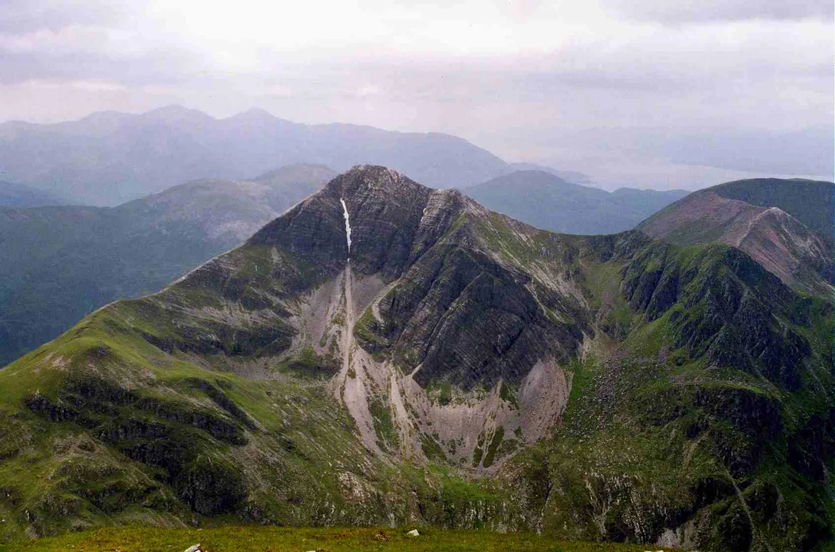
Stob Bàn
Mountains & hills · 2.1 km
Nearby
📷 3Mountains & hills · Scottish Highlands
Sgùrr a' Mhàim
Sgùrr a' Mhàim — Named summit at 1099 m.
📷 5Mountains & hills · Scottish Highlands
Sgurr a' Mhaim
Sgurr a' Mhaim — a hill or mountain in scotland highlands.
📷 5Mountains & hills · Scottish Highlands
Stob Choire a' Mhail
Stob Choire a' Mhail — a hill or mountain in scotland highlands.
📷 3Mountains & hills · Scottish Highlands
Sgurr a' Mhaim - Stob Choire a' Mhail
Sgurr a' Mhaim - Stob Choire a' Mhail — a mountain in scotland-highlands, United Kingdom.
📷 5Mountains & hills · Scottish Highlands
Sgor an Iubhair
Sgor an Iubhair — a hill or mountain in scotland highlands.
📷 3Mountains & hills · Scottish Highlands
Sgùrr an Iubhair
Sgùrr an Iubhair — a mountain in scotland-highlands, United Kingdom.
Where to eat & stay near Sgùrr a' Mhàim
Places to stay
📷 5 📷 5
📷 5Campsites · Scottish Highlands
really small camp site
really small camp site — a campsite in scotland highlands.
📷 5Campsites · Scottish Highlands
not great but fits 2 person tent and has access to small river
not great but fits 2 person tent and has access to small river — a campsite in scotland highlands.
 📷 5
📷 5Campsites · Scottish Highlands
Kinlochleven Wild Camping Area
Kinlochleven Wild Camping Area — a campsite in scotland highlands.
 📷 7
📷 7Hotels · Scottish Highlands
MacDonald Hotel
MacDonald Hotel — a hotel in scotland highlands.
📷 5Campsites · Scottish Highlands
MacDonald Hotel Campsite
MacDonald Hotel Campsite — a campsite in scotland highlands.
Places to eat & drink
 📷 4
📷 4Historic pubs · Scottish Highlands
Clachaig Inn
Clachaig Inn in Scotland Islands, United Kingdom.
More natural landmarks in this region
 Flagship📷 3
Natural landmarks · Scottish Highlands
Dunalastair Water
Dunalastair Water — lake in Perth and Kinross, Scotland, UK, on the River Tummel.
 Flagship📷 3
Natural landmarks · Scottish Highlands
Loch Arkaig
Loch Arkaig — lake in Highland, Scotland, UK, outflows east to River Arkaig.
 Flagship📷 3
Natural landmarks · Scottish Highlands
Loch Assynt
Loch Assynt — lake in Highland, Scotland, UK, outflows to the River Inver and Loch na Garbh Uidhe.
 Flagship📷 5
Natural landmarks · Scottish Highlands
Loch Eilt
Loch Eilt — lake in Highland, Scotland, UK, outflows west to River Ailort.
Frequently asked questions
- Where is Sgùrr a' Mhàim?
- Sgùrr a' Mhàim is in the Scottish Highlands, United Kingdom.
- What is Sgùrr a' Mhàim?
- Sgùrr a' Mhàim — 1099m high mountain in Highland, Scotland, UK.
- How do I get to Sgùrr a' Mhàim?
- The nearest railway station is Fort William, about 9.5 km away. The nearest town is Kinlochleven. Its coordinates are 56.7559°, -5.0037°.
- Is Sgùrr a' Mhàim free to visit?
- Yes, Sgùrr a' Mhàim is free to enter.