
Natural landmarks · Scottish Highlands
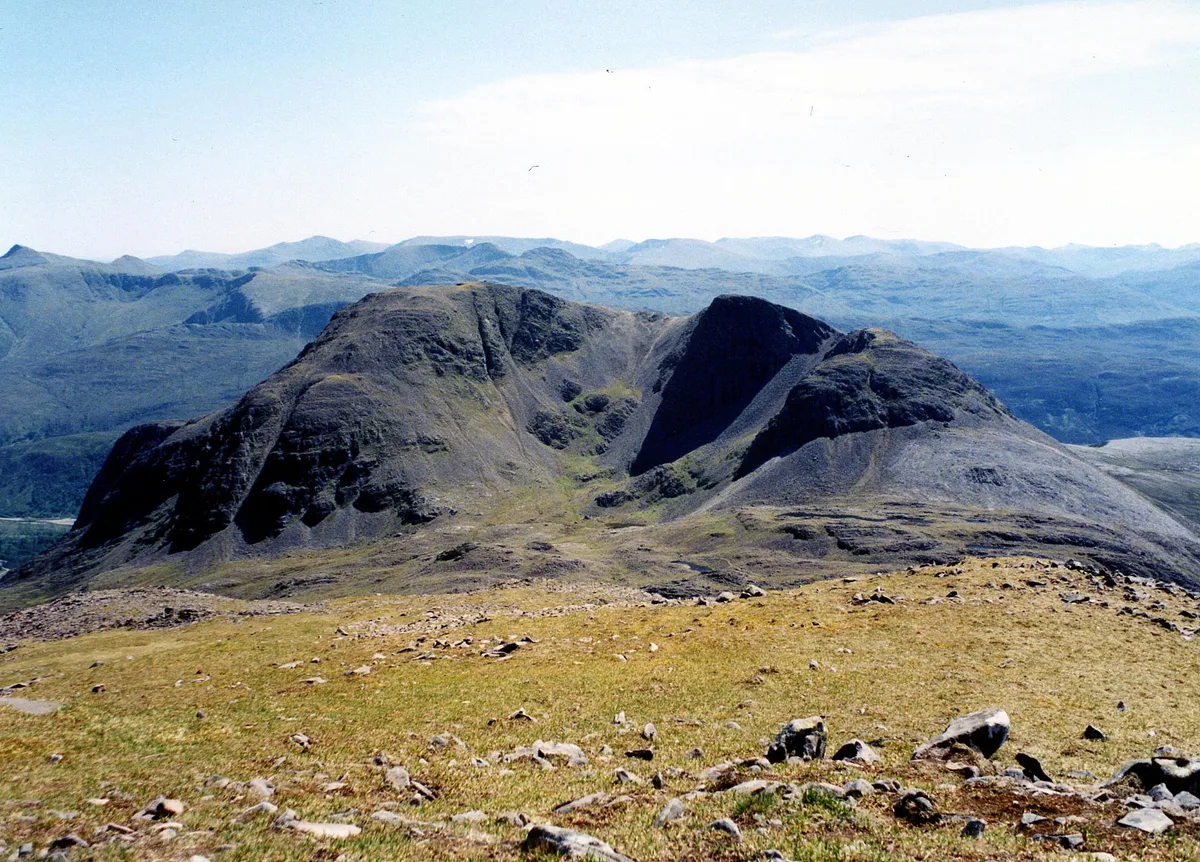
Sgòrr Ruadh
Also known as: Sgorr Ruadh
In or near Achintee.
Sgòrr Ruadh — 960m high mountain in Highland, Scotland, UK.

Wikimedia Commons contributors — see linked file page for photographer and licence licence

Plan your visit
- Typical visit
- 1 h–2 h
- Nearest railway station
- Achnashellach · 4.8 km
- Free entry
- Dog-friendly
About
Sgòrr Ruadh is a named natural landmark in the United Kingdom. Part of Northwest Highlands. Wikidata describes it as: "960m high mountain in Highland, Scotland, UK". Coordinates: 57.4986°, -5.4077°.
Photo gallery
Official information
Sgòrr Ruadh is a prominent mountain located in the Coulin Forest, known for its steep southern slopes and impressive face above Coire Lair. It is often climbed either alone or in combination with nearby peaks like Beinn Liath Mhòr and Fuar Tholl, offering various challenging routes for experienced walkers.
From the Wikipedia article
Sgorr Ruadh (Scottish Gaelic: An Sgùrr Ruadh) is a mountain between Strath Carron and Glen Torridon in Wester Ross in the Northwest Highlands of Scotland. It is located in Coire Lair near Achnashellach along with two other mountains, Beinn Liath Mhòr and Fuar Tholl, and is often climbed together with one or both of these other mountains.
Excerpt from Wikipedia under CC BY-SA 4.0. See the source article linked in Sources below.
- Coordinates
- 57.4986, -5.4077
- Address
- Wester Ross, Scotland
- Nearest railway station
- Achnashellach — 4.8 km
- Official site
- www.walkhighlands.co.uk
Sources
- wikidata: Q3398068 (CC0)
- wikipedia: Sgorr Ruadh (CC BY-SA 4.0)
- commons: Sgorr Ruadh from Beinn Liath Mhor.jpg (CC BY-SA 4.0)
Other places nearby
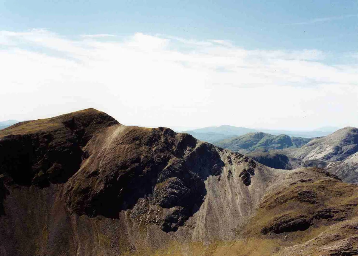
Sgorr Ruadh
Mountains & hills · 0.0 km

Raeburn's Buttress
Mountains & hills · 0.5 km

Beinn Liath Mhor South Top
Mountains & hills · 0.9 km
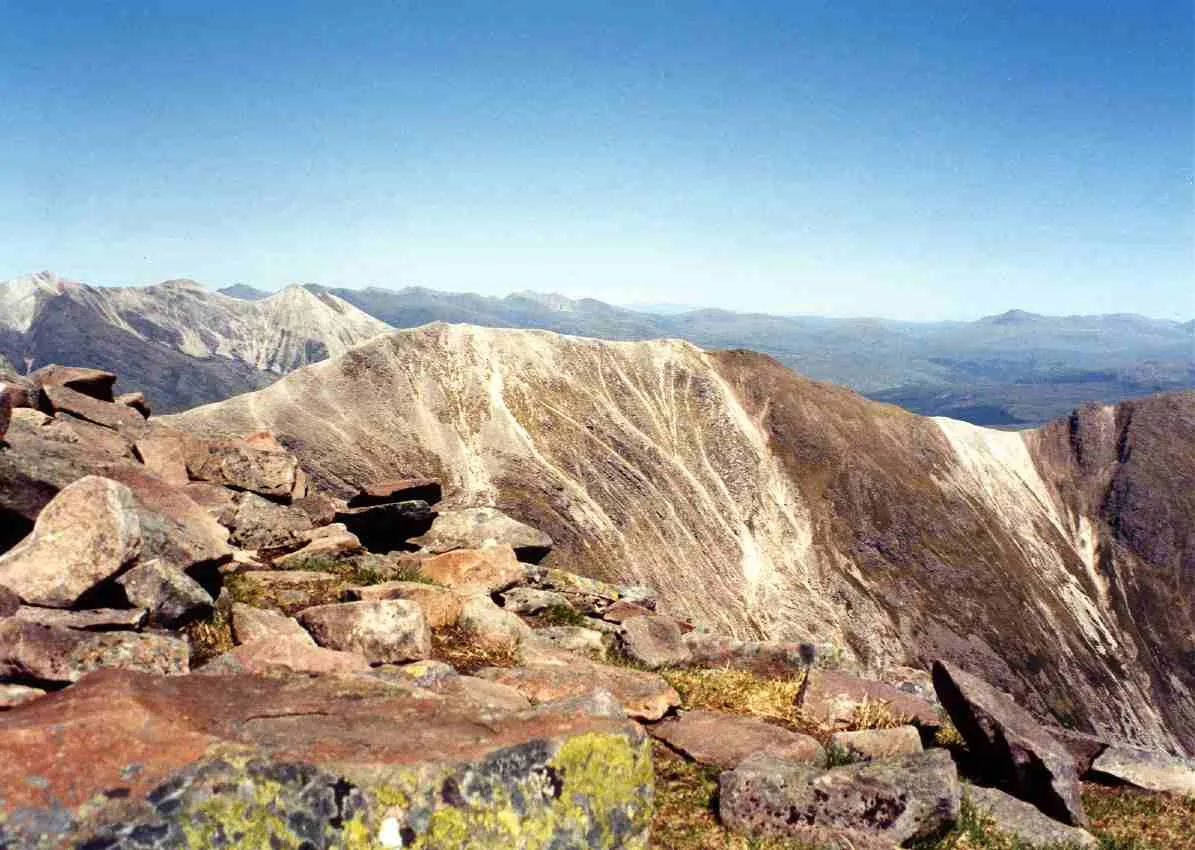
Beinn Liath Mhòr
Mountains & hills · 1.6 km

Beinn Liath Mhor
Mountains & hills · 1.6 km
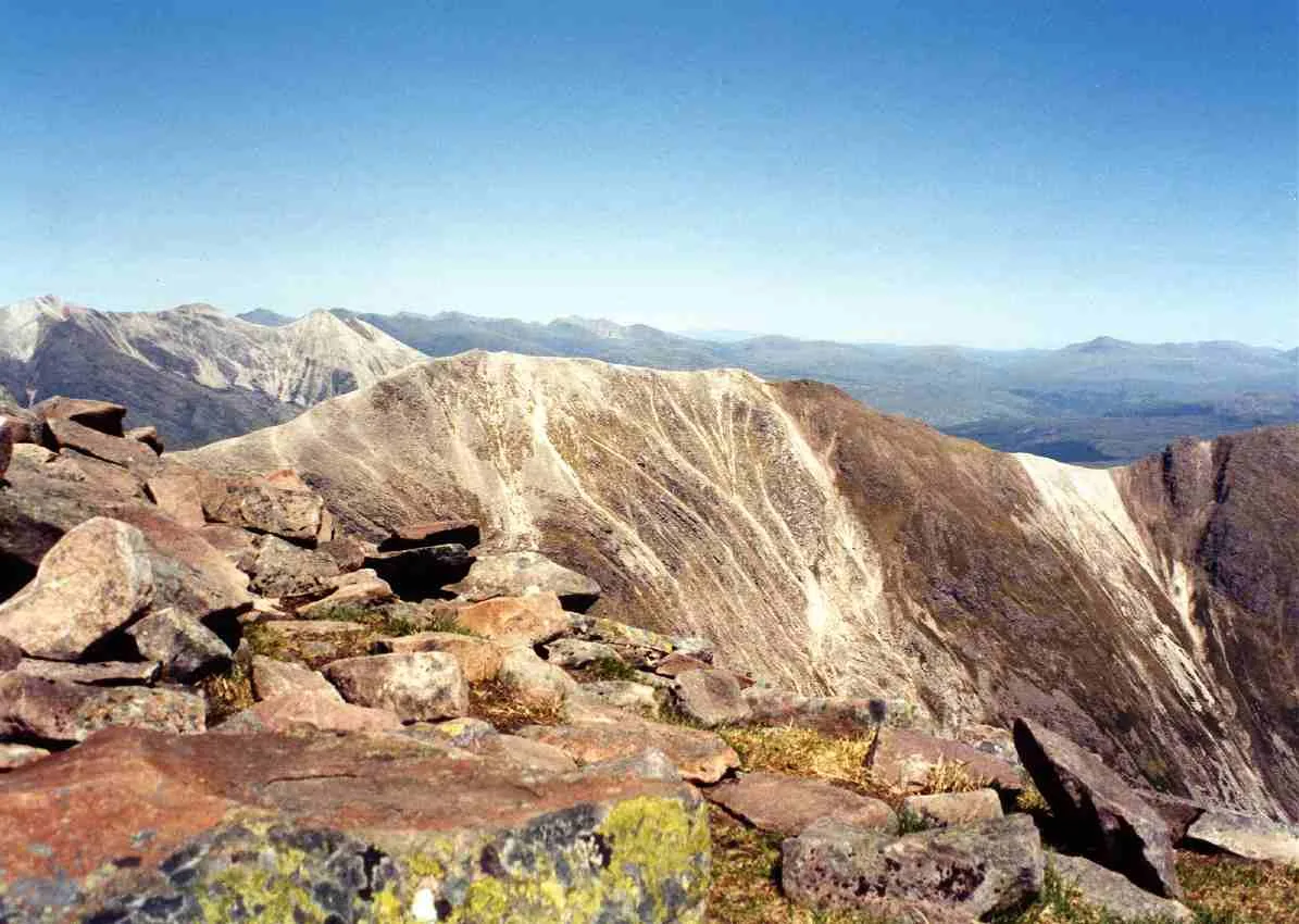
Beinn Liath Mhòr
Natural landmarks · 1.6 km

Beinn Liath Mhor East Top
Mountains & hills · 2.0 km
Beinn Liath Mhor East Top
Mountains & hills · 2.0 km

Beinn Liath Mhor Far East Top
Mountains & hills · 2.0 km

Fuar Tholl - Creag Mainnrichean
Mountains & hills · 2.1 km
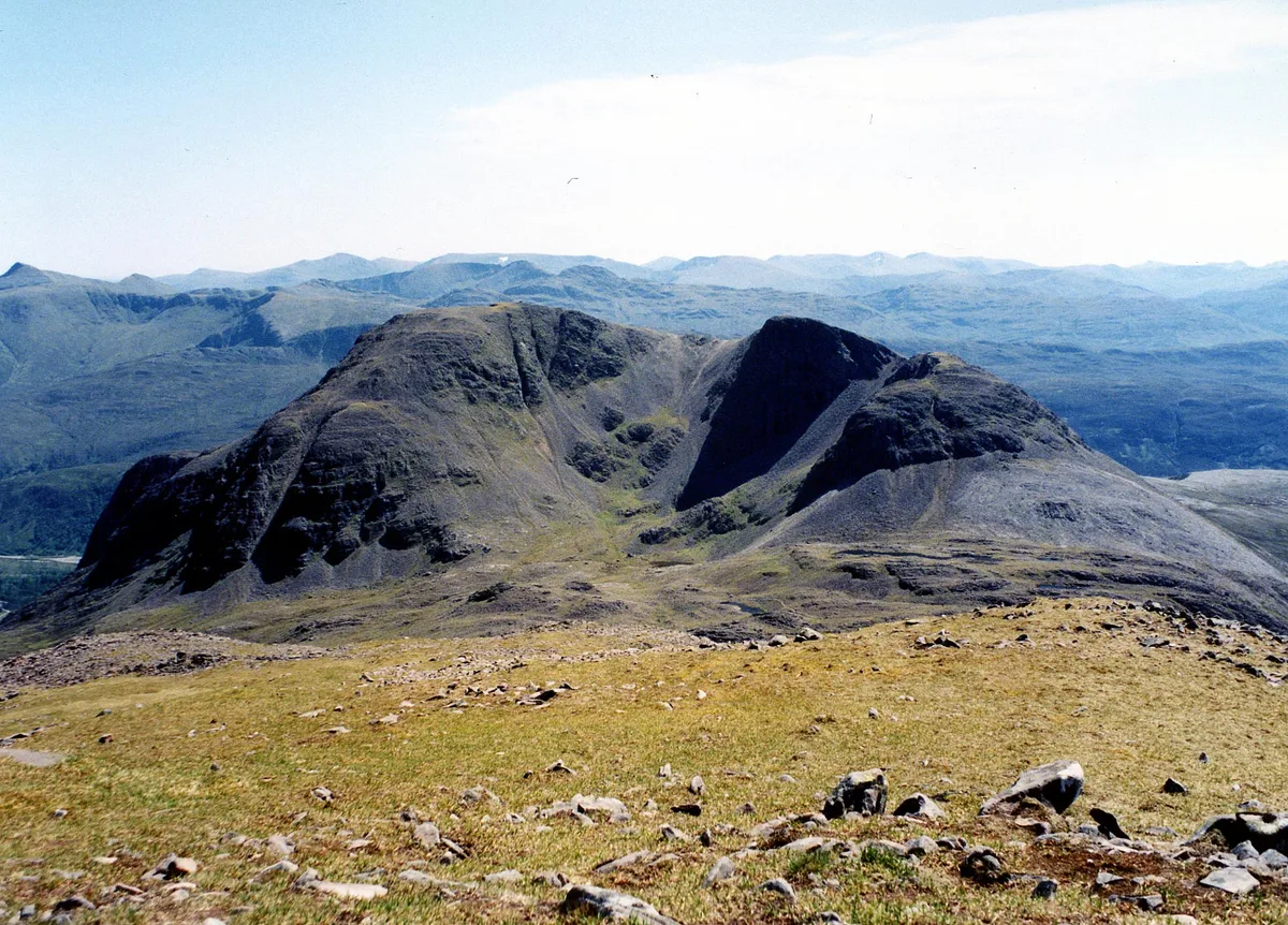
Fuar Tholl
Natural landmarks · 2.3 km
Fuar Tholl
Mountains & hills · 2.3 km
Nearby
📷 3Mountains & hills · Scottish Highlands
Sgorr Ruadh
Sgorr Ruadh — Named summit at 962 m.
📷 3Mountains & hills · Scottish Highlands
Raeburn's Buttress
Raeburn's Buttress — a mountain in scotland-highlands, United Kingdom.
📷 5Mountains & hills · Scottish Highlands
Beinn Liath Mhor South Top
Beinn Liath Mhor South Top — a hill or mountain in scotland highlands.
📷 3Mountains & hills · Scottish Highlands
Beinn Liath Mhòr
Beinn Liath Mhòr — Named summit at 926 m.
📷 5Mountains & hills · Scottish Highlands
Beinn Liath Mhor
Beinn Liath Mhor — a hill or mountain in scotland highlands.
📷 3Natural landmarks · Scottish Highlands
Beinn Liath Mhòr
Beinn Liath Mhòr — 926m high mountain in Highland, Scotland, UK.
Where to eat & stay near Sgòrr Ruadh
Places to stay
 📷 5
📷 5Campsites · Scottish Highlands
Torridon Camp Site
Torridon Camp Site — a campsite in scotland highlands.
 📷 5
📷 5Hostels · Scottish Highlands
Torridon Youth Hostel
Torridon Youth Hostel — a hostel in scotland highlands.
 📷 5
📷 5Hostels · Scottish Highlands
Gerry's Hostel
Gerry's Hostel — a hostel in scotland highlands.
 📷 5
📷 5Campsites · Scottish Highlands
The Wee Campsite
The Wee Campsite — a campsite in scotland highlands.
📷 7Hotels · Scottish Highlands
Pathend Bed and Breakfast
Pathend Bed and Breakfast — a hotel in scotland highlands.
 📷 5
📷 5Caravan parks · Scottish Highlands
Kinlochewe Caravan Club Site
Kinlochewe Caravan Club Site — a caravan park in scotland highlands.
More natural landmarks in this region
 Flagship📷 3
Natural landmarks · Scottish Highlands
Dunalastair Water
Dunalastair Water — lake in Perth and Kinross, Scotland, UK, on the River Tummel.
 Flagship📷 3
Natural landmarks · Scottish Highlands
Loch Arkaig
Loch Arkaig — lake in Highland, Scotland, UK, outflows east to River Arkaig.
 Flagship📷 3
Natural landmarks · Scottish Highlands
Loch Assynt
Loch Assynt — lake in Highland, Scotland, UK, outflows to the River Inver and Loch na Garbh Uidhe.
 Flagship📷 5
Natural landmarks · Scottish Highlands
Loch Eilt
Loch Eilt — lake in Highland, Scotland, UK, outflows west to River Ailort.
Frequently asked questions
- Where is Sgòrr Ruadh?
- Sgòrr Ruadh is in the Scottish Highlands, United Kingdom.
- What is Sgòrr Ruadh?
- Sgòrr Ruadh — 960m high mountain in Highland, Scotland, UK.
- How do I get to Sgòrr Ruadh?
- The nearest railway station is Achnashellach, about 4.8 km away. The nearest town is Achintee. Its coordinates are 57.4986°, -5.4077°.
- Is Sgòrr Ruadh free to visit?
- Yes, Sgòrr Ruadh is free to enter.
- How do I get to Sgòrr Ruadh?
- The nearest railway station is Achnashellach, about 4.8 km away.