
Natural landmarks · Scottish Highlands
Fuar Tholl
In or near Achintee.
Fuar Tholl — 907m high mountain in Highland, Scotland, UK.

Wikimedia Commons contributors — see linked file page for photographer and licence licence

Plan your visit
- Typical visit
- 1 h–2 h
- Nearest railway station
- Achnashellach · 2.8 km
- Free entry
- Dog-friendly
About
Fuar Tholl is a named natural landmark in the United Kingdom. Part of Northwest Highlands. Wikidata describes it as: "907m high mountain in Highland, Scotland, UK". Coordinates: 57.4854°, -5.3792°.
Photo gallery
From the Wikipedia article
Fuar Tholl is a mountain in the highlands of Scotland. The mountain is situated in the Coulin deer forest 21 km SW of Achnasheen in the Wester Ross region of the Highland council area.
Excerpt from Wikipedia under CC BY-SA 4.0. See the source article linked in Sources below.
Background
Description
Fuar Tholl has a rocky summit, and has acquired the nickname Wellington's Nose because the summit ridge is similar in profile to an upturned face which bears a supposed likeness to Arthur Wellesley, 1st Duke of Wellington. The considerable nose on the face is provided the tip of the Mainreachan Buttress which can just be seen over the outline of the main summit. Fuar Tholl reaches a height of 907 metres (2976 feet) making it the 13th highest Corbett. It fails to reach Munro status by just seven metres, but despite this it is regarded by many as the finest of the mountains in the Glen Carron area. The mountain’s name translates from the Gaelic language as “Cold Hole”, it was probably named…
Sourced from Wikipedia under CC BY-SA 4.0.
- Coordinates
- 57.4854, -5.3792
- Address
- Wester Ross, Scotland
- Nearest railway station
- Achnashellach — 2.8 km
Sources
- wikidata: Q3777062 (CC0)
- wikipedia: Fuar Tholl (CC BY-SA 4.0)
- commons: Fuar Tholl from Sgurr Ruadh.jpg (CC BY-SA 4.0)
Other places nearby
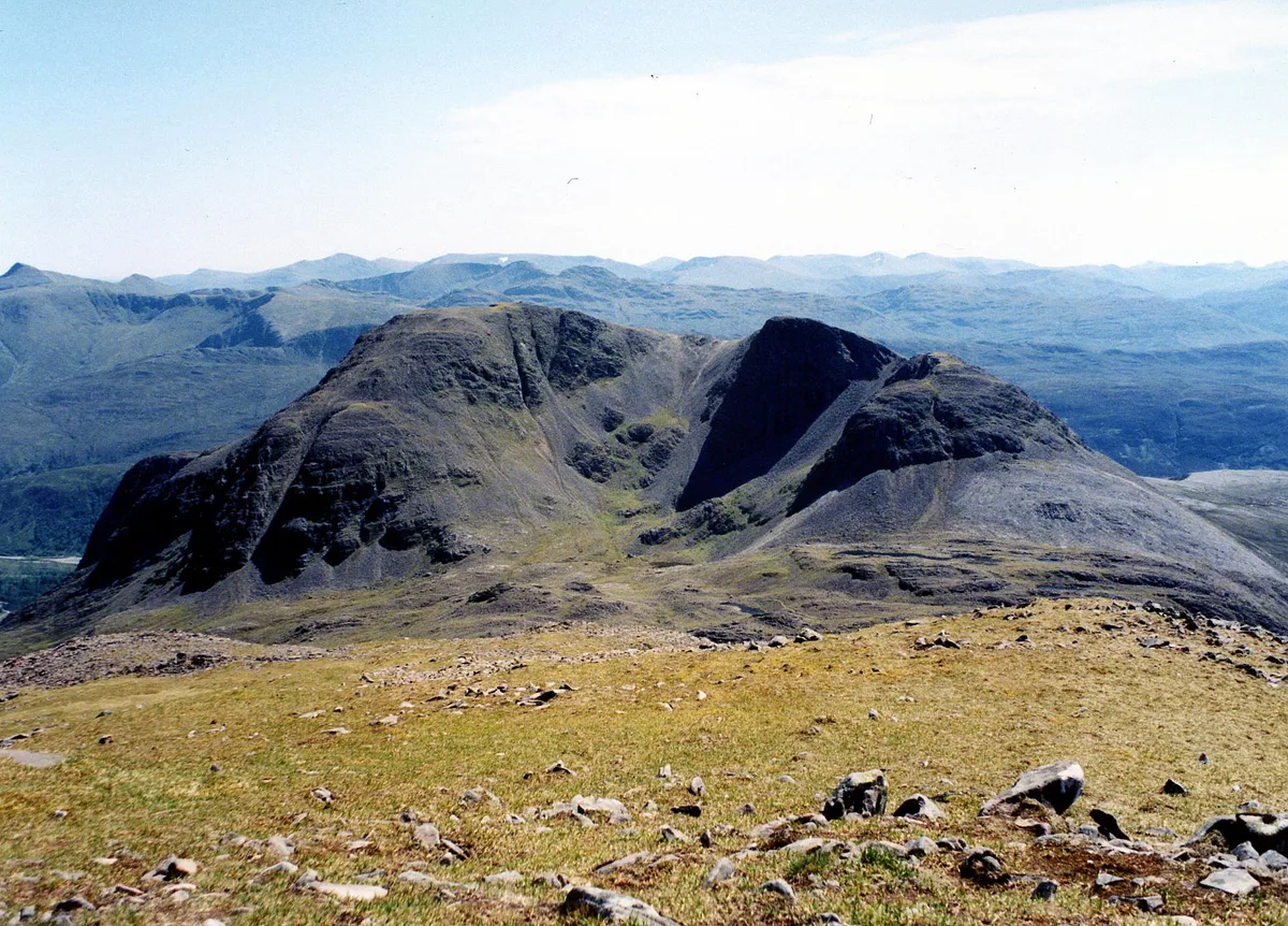
Fuar Tholl
Mountains & hills · 0.0 km

Fuar Tholl - Creag Mainnrichean
Mountains & hills · 0.5 km

Raeburn's Buttress
Mountains & hills · 2.1 km

Loch Dùghaill
Lakes · 2.2 km
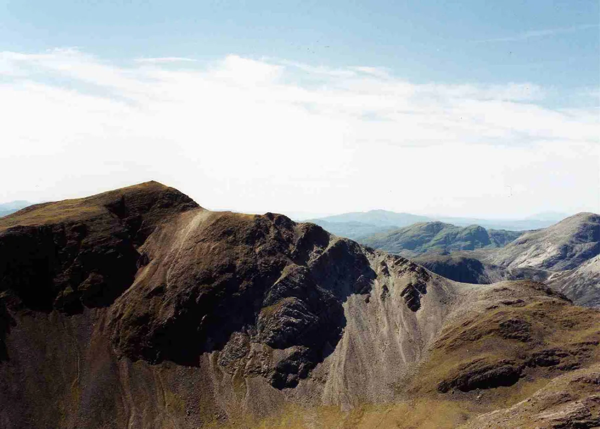
Sgòrr Ruadh
Natural landmarks · 2.3 km
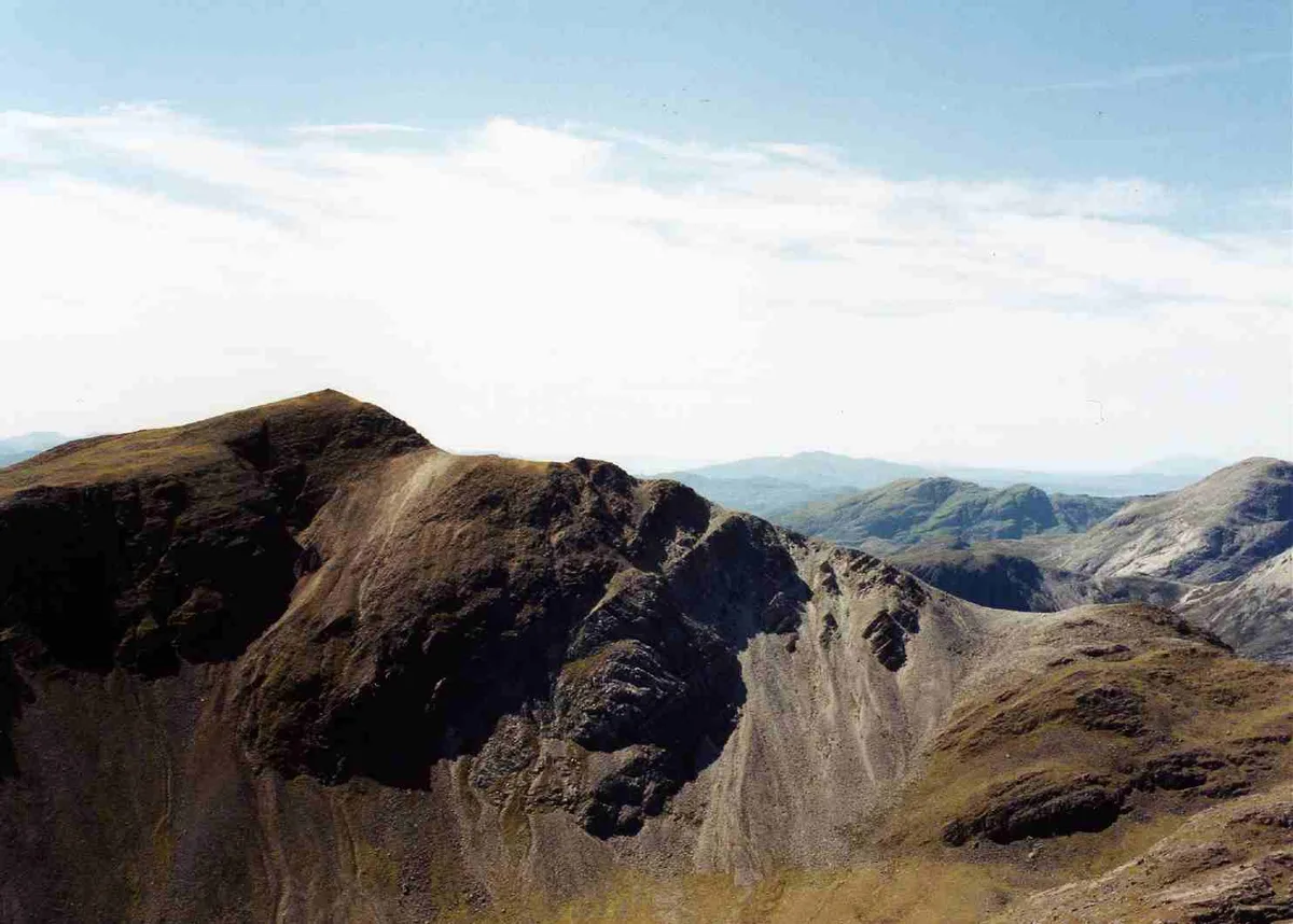
Sgorr Ruadh
Mountains & hills · 2.3 km

Carn Eite
Mountains & hills · 2.6 km
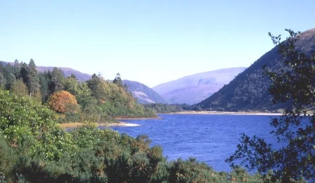
Loch Dùghaill
Natural landmarks · 2.7 km

Beinn Liath Mhor Far East Top
Mountains & hills · 2.7 km

Achnashellach railway station
Heritage railway stations · 2.8 km
Achnashellach
Reservoirs & lochs · 2.8 km

Beinn Liath Mhor East Top
Mountains & hills · 2.9 km
Nearby
📷 3📷 3Mountains & hills · Scottish Highlands
Fuar Tholl - Creag Mainnrichean
Fuar Tholl - Creag Mainnrichean — a mountain in scotland-highlands, United Kingdom.
📷 3Mountains & hills · Scottish Highlands
Raeburn's Buttress
Raeburn's Buttress — a mountain in scotland-highlands, United Kingdom.
📷 5📷 3Natural landmarks · Scottish Highlands
Sgòrr Ruadh
Sgòrr Ruadh — 960m high mountain in Highland, Scotland, UK.
📷 3Mountains & hills · Scottish Highlands
Sgorr Ruadh
Sgorr Ruadh — Named summit at 962 m.
Where to eat & stay near Fuar Tholl
Places to stay
 📷 5
📷 5Hostels · Scottish Highlands
Gerry's Hostel
Gerry's Hostel — a hostel in scotland highlands.
 📷 5
📷 5Campsites · Scottish Highlands
Torridon Camp Site
Torridon Camp Site — a campsite in scotland highlands.
 📷 5
📷 5Hostels · Scottish Highlands
Torridon Youth Hostel
Torridon Youth Hostel — a hostel in scotland highlands.
 📷 5
📷 5Campsites · Scottish Highlands
The Wee Campsite
The Wee Campsite — a campsite in scotland highlands.
📷 7Hotels · Scottish Highlands
Pathend Bed and Breakfast
Pathend Bed and Breakfast — a hotel in scotland highlands.
 📷 5
📷 5Caravan parks · Scottish Highlands
Kinlochewe Caravan Club Site
Kinlochewe Caravan Club Site — a caravan park in scotland highlands.
More natural landmarks in this region
 Flagship📷 3
Natural landmarks · Scottish Highlands
Dunalastair Water
Dunalastair Water — lake in Perth and Kinross, Scotland, UK, on the River Tummel.
 Flagship📷 3
Natural landmarks · Scottish Highlands
Loch Arkaig
Loch Arkaig — lake in Highland, Scotland, UK, outflows east to River Arkaig.
 Flagship📷 3
Natural landmarks · Scottish Highlands
Loch Assynt
Loch Assynt — lake in Highland, Scotland, UK, outflows to the River Inver and Loch na Garbh Uidhe.
 Flagship📷 5
Natural landmarks · Scottish Highlands
Loch Eilt
Loch Eilt — lake in Highland, Scotland, UK, outflows west to River Ailort.
Frequently asked questions
- Where is Fuar Tholl?
- Fuar Tholl is in the Scottish Highlands, United Kingdom.
- What is Fuar Tholl?
- Fuar Tholl — 907m high mountain in Highland, Scotland, UK.
- How do I get to Fuar Tholl?
- The nearest railway station is Achnashellach, about 2.8 km away. Its coordinates are 57.4854°, -5.3792°.
- Is Fuar Tholl free to visit?
- Yes, Fuar Tholl is free to enter.
- How do I get to Fuar Tholl?
- The nearest railway station is Achnashellach, about 2.8 km away.