Natural landmarks · North East England
Seaton Valley Urban District
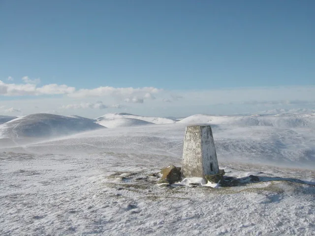
In or near New Hartley.
Seaton Valley Urban District in England North East, United Kingdom.

Ian Brackenridge — CC BY-SA 2.0 via Wikimedia Commons licence
Plan your visit
- Typical visit
- 1 h–2 h
- Nearest railway station
- Seaton Delaval · 0.9 km
- Free entry
- Dog-friendly
Getting there & planning your visit
To visit Seaton Valley Urban District, the nearest railway station is Seaton Delaval, located 0.9 km away. The postcode for navigation is NE23 6XG, and entry to the site is free.
About
Seaton Valley Urban District is a place of interest in England North East, United Kingdom — drawn from open-data sources for visitor reference. See the linked Wikipedia article for the full description.
Photo gallery
See it from the streetimagery from 2025
Imagery © Mapillary contributors, CC BY-SA 4.0
Protected designations
- Site of Special Scientific Interest: Northumberland Shore SSSI
Designations sourced from Natural England open data under OGL v3.
From the Wikipedia article
Seaton Valley was an urban district in Northumberland, England, from 1935 to 1974, at which point it was split between the districts of North Tyneside and Blyth Valley. It was created by a County Review Order in 1935 from various urban districts near the North Sea coast, particularly Cramlington, most of Earsdon, Seaton Delaval, and Seghill. Under the Local Government Act 1972 it was abolished on 1 April 1974, with the wards of Backworth, Earsdon and Shiremoor going to the borough of North Tyneside in Tyne and Wear, and the rest going to Blyth Valley in Northumberland. After the abolition of Blyth Valley district in 2008, a Seaton Valley parish was created. The boundaries of this parish are not identical to the old urban district - excluding Cramlington but including the part of the former borough of Whitley Bay to be included in Blyth Valley in 1974 (Hartley and Seaton Sluice).
Excerpt from Wikipedia under CC BY-SA 4.0. See the source article linked in Sources below.
- Coordinates
- 55.0800, -1.5500
- District
- Northumberland
- Parish
- Cramlington
- Postcode
- NE23 6XG
- Parliamentary constituency
- Cramlington and Killingworth
- Nearest railway station
- Seaton Delaval — 0.9 km
Sources
- wikidata: Q7442026 (CC0)
- wikipedia: Seaton Valley Urban District (CC BY-SA 4.0)
Other places nearby

East Cramlington Pond
Forests & woodlands · 0.6 km

Cappella (Wildspace Network)
Heritage railway stations · 0.7 km

Seaton Delaval railway station
Heritage railway stations · 1.0 km

Footsteps in the Snow (Wildspace Network)
Heritage railway stations · 1.0 km

A189 road
Natural landmarks · 1.2 km

No Entry Gates (Wildspace Network)
Heritage railway stations · 1.2 km

Cramlington and Killingworth
Cathedrals · 1.3 km

Northumbria Specialist Emergency Care Hospital
Other places · 1.4 km

Eat for England (Wildspace Network)
Heritage railway stations · 1.7 km

New Hartley Ponds SSSI
Wildlife reserves · 1.7 km

Seaton Delaval
Villages · 1.8 km

Elley Dee's Underpass (Wildspace Network)
Heritage railway stations · 1.8 km
Nearby
📷 3Forests & woodlands · North East England
East Cramlington Pond
East Cramlington Pond is a forest or woodland in the United Kingdom.
📷 3Heritage railway stations · North East England
Cappella (Wildspace Network)
Cappella (Wildspace Network) — Public artwork (sculpture) by Paula Chambers.
📷 4Heritage railway stations · North East England
Seaton Delaval railway station
Seaton Delaval railway station in England North East, United Kingdom.
📷 3Heritage railway stations · North East England
Footsteps in the Snow (Wildspace Network)
Footsteps in the Snow (Wildspace Network) — Public artwork (sculpture) by Simon Ringe.
📷 3Natural landmarks · North East England
A189 road
A189 road in England North East, United Kingdom.
📷 3Heritage railway stations · North East England
No Entry Gates (Wildspace Network)
No Entry Gates (Wildspace Network) — Public artwork (sculpture) by Simon Ringe.
Where to eat & stay near Seaton Valley Urban District
Places to stay
 📷 5
📷 5Caravan parks · North East England
Old Hartley Caravan Club
Old Hartley Caravan Club — a caravan park in scotland lowlands.
 📷 7
📷 7Hotels · North East England
The Commissioners Quay Inn
The Commissioners Quay Inn — a hotel in scotland lowlands.
 📷 5
📷 5B&Bs · North East England
York House Hotel
York House Hotel — a bed-and-breakfast in scotland lowlands.
 📷 5
📷 5Hotels · North East England
The Grand Hotel
The Grand Hotel — a hotel in scotland lowlands.
 📷 5
📷 5Hostels · North East England
North Eastern YWCA Hostel
North Eastern YWCA Hostel — a hostel in scotland lowlands.
 📷 5
📷 5Hotels · North East England
DoubleTree by Hilton Newcastle International Airport
DoubleTree by Hilton Newcastle International Airport — a hotel in scotland lowlands. 4-star. Brand: DoubleTree.
Places to eat & drink
 📷 3
📷 3Historic pubs · North East England
The Kings Arms
The Kings Arms — Historic pub — listed building or notable heritage status.
 📷 5
📷 5Historic pubs · North East England
Border Minstrel
Border Minstrel in Scotland Lowlands, United Kingdom.
 📷 3
📷 3Historic pubs · North East England
Red House Farm
Red House Farm in England North East, United Kingdom.
 📷 5
📷 5Historic pubs · North East England
The Albert Public House
The Albert Public House in England North East, United Kingdom.
 📷 5
📷 5Historic pubs · North East England
The Scotia Public House
The Scotia Public House in England North East, United Kingdom.
 📷 5
📷 5Cafés · North East England
Caffè Nero
Caffè Nero — a café in scotland lowlands. Cuisine: coffee shop. Brand: Caffè Nero.
More natural landmarks in this region
 📷 4
📷 4Natural landmarks · North East England
Cleveland Way
109-mile horseshoe trail around the North York Moors and its sea cliffs.
 📷 3
📷 3Natural landmarks · North East England
The Hand Stone
The Hand Stone — a other in england-yorkshire, United Kingdom.
 📷 3
📷 3Natural landmarks · North East England
The Face Stone
The Face Stone — a other in england-yorkshire, United Kingdom.
 📷 3
📷 3Frequently asked questions
- Where is Seaton Valley Urban District?
- Seaton Valley Urban District is in North-East England, United Kingdom (postcode NE23 6XG), in the parish of Cramlington.
- What is Seaton Valley Urban District?
- Seaton Valley Urban District in England North East, United Kingdom.
- How do I get to Seaton Valley Urban District?
- The nearest railway station is Seaton Delaval, about 0.9 km away. Drivers can use postcode NE23 6XG.
- Is Seaton Valley Urban District a protected site?
- Yes — Seaton Valley Urban District is part of the Northumberland Shore SSSI Site of Special Scientific Interest.
- Is Seaton Valley Urban District free to visit?
- Yes, Seaton Valley Urban District is free to enter.
- How do I get to Seaton Valley Urban District?
- The nearest railway station is Seaton Delaval, about 0.9 km away. Drivers can navigate to postcode NE23 6XG.