Reservoirs & lochs · North West England
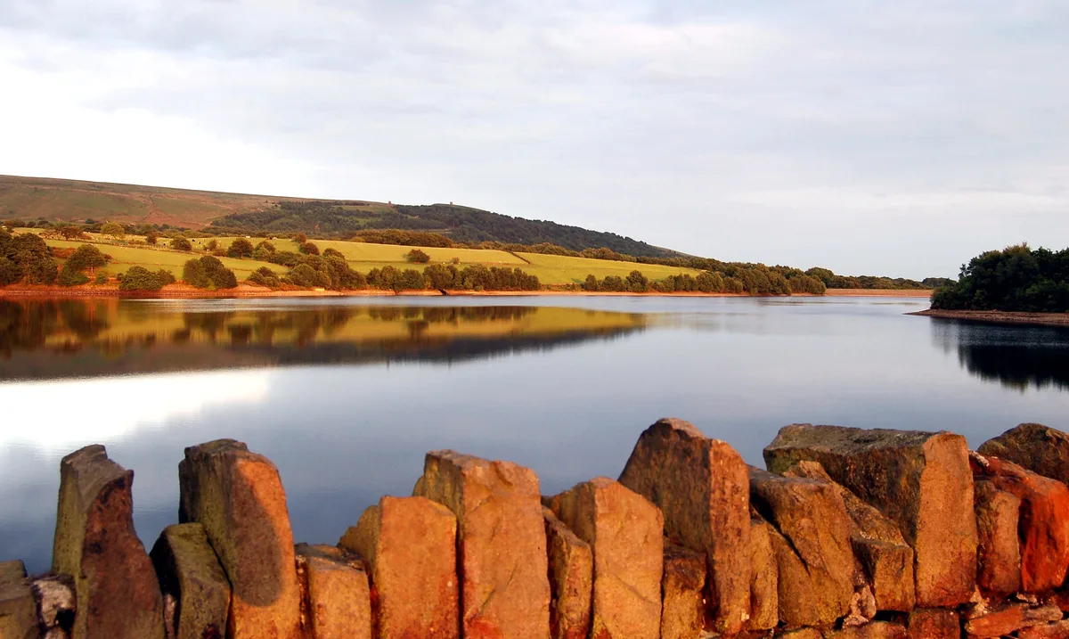
Seathwaite Tarn
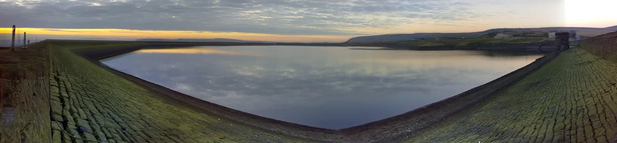
Seathwaite Tarn — lake in the United Kingdom.

Wikimedia Commons contributors — see linked file page for photographer and licence licence
Plan your visit
- Typical visit
- 1 h–2.5 h
- Nearest railway station
- Dalegarth · 8.0 km
- Free entry
- Dog-friendly
About
Seathwaite Tarn is a reservoir in the United Kingdom. Wikidata describes it as: "lake in the United Kingdom". Coordinates: 54.3791°, -3.1549°.
Photo gallery
From the Wikipedia article
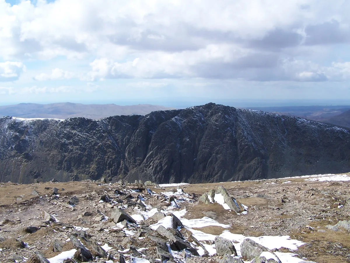
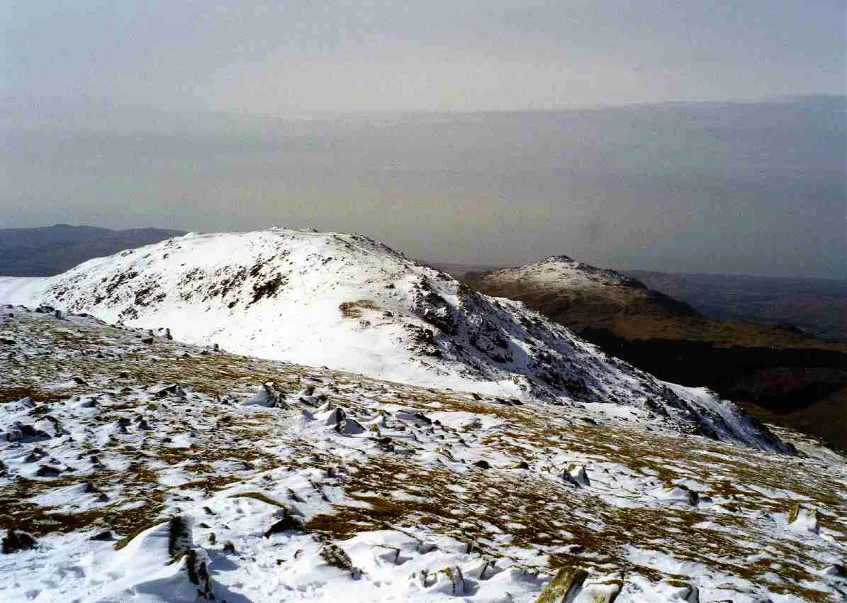
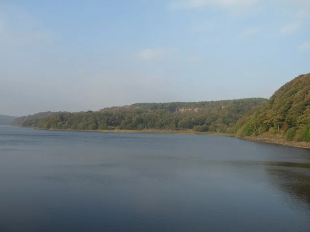
Seathwaite Tarn is a reservoir in the Furness Fells within the English Lake District. It is located to the south of Grey Friar and to the west of Brim Fell (on the ridge between The Old Man of Coniston and Swirl How) and north east of the village of Seathwaite on the east of the Duddon Valley. In order to create a source of drinking water the existing tarn was considerably enlarged with a dam in 1904. During the dam construction some of the navvies rioted damaging buildings in the village, several rioters were shot, one dying the next day. The dam is almost 400 yards (366 m) long and is concrete cored with slate buttresses, the resulting depth of the tarn being around 80 feet (24 m). Water is not abstracted directly from the tarn, but flows some distance downriver to an off-take weir. On the slopes of Brim Fell, above the head of the reservoir, are the remains of Seathwaite Tarn Mine. This was worked for copper in the mid 19th century, and also appears as a location in the novel The Plague Dogs by Richard Adams. Rocks in the area were the first confirmed occurrence of wittichenite in the British Isles. Bronze Age ring cairns were found close to Seathwaite Tarn in 2003, these were excavated in 2003 and 2007. Seathwaite Tarn has suffered from acidification. An experiment in 1992–1993 to reduce the acidification by using a phosphorus-based fertiliser increased the pH from 5.1 to 5.6 and changed the levels of the different species of the rotifer assemblage significantly.
Excerpt from Wikipedia under CC BY-SA 4.0. See the source article linked in Sources below.
- Coordinates
- 54.3791, -3.1549
- District
- Westmorland and Furness
- Parish
- Dunnerdale-with-Seathwaite
- Postcode
- LA20 6EG
- Parliamentary constituency
- Barrow and Furness
- Nearest railway station
- Dalegarth — 8 km
- Official site
- www.lakedistrictwiki.co.uk
Sources
- wikidata: Q1028726 (CC0)
- wikipedia: Seathwaite Tarn (CC BY-SA 4.0)
- commons: Hillside above Seathwaite Tarn - geograph.org.uk - 1761208.jpg (CC BY-SA 4.0)
Other places nearby
Loading nearby places…
Nearby
 📷 5
📷 5Mountains & hills · North West England
Long Crag
Long Crag — mountain in england north west. Elevation: 264 m.
 📷 3
📷 3Mountains & hills · North West England
Dow Crag
Dow Crag — Named summit at 778 m.
 📷 3
📷 3Natural landmarks · North West England
Dow Crag
Dow Crag — mountain in United Kingdom.
 📷 5
📷 5Climbing & bouldering crags · North West England
Dow Crag
Dow Crag — a climbing crag in england north west.
 📷 3
📷 3Natural landmarks · North West England
Grey Friar
Grey Friar — mountain in United Kingdom.
 📷 4
📷 4Historic bridges · North West England
Birks Bridge
Birks Bridge — Grade II listed building-listed bridge in england-north-west, United Kingdom.
Where to eat & stay near Seathwaite Tarn
Places to stay
 📷 5
📷 5Campsites · North West England
Turner Hall Farm Campsite
Turner Hall Farm Campsite — a campsite in england north west.
 📷 5
📷 5Hostels · North West England
YHA Coppermines
YHA Coppermines — a hostel in england north west.
 📷 5
📷 5Hostels · North West England
Yorkshire Mountaineering Club Hut
Yorkshire Mountaineering Club Hut — a hostel in england north west.
 📷 5
📷 5Hostels · North West England
Coniston Holly How YHA
Coniston Holly How YHA — a hostel in england north west.
 📷 5
📷 5Caravan parks · North West England
Beckthwaite
Beckthwaite — a caravan park in england north west.
 📷 5
📷 5Caravan parks · North West England
Coniston Park Coppice Caravan Club Site
Coniston Park Coppice Caravan Club Site — a caravan park in england north west.
Places to eat & drink
 📷 5
📷 5Historic pubs · North West England
Church House Public House
Church House Public House in England North West, United Kingdom.
 📷 5
📷 5Restaurants · North West England
The Terrace Coffee House and Restaurant
The Terrace Coffee House and Restaurant — a restaurant in england north west. Cuisine: sandwich;lunch.
 📷 5
📷 5Historic pubs · North West England
Blacksmiths Arms
Blacksmiths Arms in England North West, United Kingdom.
 📷 5
📷 5Historic pubs · North West England
Sun Cottage Sun Inn Public House
Sun Cottage Sun Inn Public House in England North West, United Kingdom.
 📷 5
📷 5Historic pubs · North West England
The Travellers Rest
The Travellers Rest in England North West, United Kingdom.
 📷 5
📷 5Historic pubs · North West England
Golden Rule Hotel
Golden Rule Hotel in England North West, United Kingdom.
More places in this region
 Flagship📷 5
Reservoirs & lochs · North West England
Yarrow Reservoir
Yarrow Reservoir — reservoir in Lancashire, England, UK.
.jpg?width=1200) 📷 3
📷 3Reservoirs & lochs · North West England
Abbey Village Reservoir
Abbey Village Reservoir — reservoir in Lancashire, England, UK.
 📷 3
📷 3Reservoirs & lochs · North West England
Anglezarke Reservoir
Anglezarke Reservoir — reservoir in Lancashire, England, UK.
 📷 3
📷 3Reservoirs & lochs · North West England
Ashworth Moor Reservoir
Ashworth Moor Reservoir — reservoir in Greater Manchester, England, UK.
Frequently asked questions
- Where is Seathwaite Tarn?
- Seathwaite Tarn is in North-West England, United Kingdom (postcode LA20 6EG), in the parish of Dunnerdale-with-Seathwaite.
- What is Seathwaite Tarn?
- Seathwaite Tarn — lake in the United Kingdom.
- How do I get to Seathwaite Tarn?
- The nearest railway station is Dalegarth, about 8.0 km away. Drivers can use postcode LA20 6EG.
- Is Seathwaite Tarn free to visit?
- Yes, Seathwaite Tarn is free to enter.
- How do I get to Seathwaite Tarn?
- Drivers can navigate to postcode LA20 6EG. It sits within the Barrow and Furness parliamentary constituency.