
Mountains & hills · South East England
Scratchell's Bay
In or near Brook.
Scratchell's Bay is a mountain or hill in the United Kingdom.

Wikimedia Commons contributors — see linked file page for photographer and licence licence

Plan your visit
- Typical visit
- 3 h–8 h
- Best time of year
- Late spring – early autumn (May–Oct)
- Free entry
- Dog-friendly
About
Scratchell's Bay is a named summit in the United Kingdom. Part of English Channel. Coordinates: 50.6616°, -1.5835°. This entry is part of The Great Britain Guide, a free, ad-free, open-data tourist directory.
Photo gallery
Protected designations
- Site of Special Scientific Interest: Headon Warren and West High Down SSSI
- Area of Outstanding Natural Beauty: Isle Of Wight
Designations sourced from Natural England open data under OGL v3.
From the Wikipedia article
Scratchell's Bay is a bay on the south west coast of the Isle of Wight, England just to the south east of The Needles. It faces roughly south towards the English Channel, it is 250m in length and is straight. The name is thought to have come from one of the many names for the Devil. The bay itself is shallow, and the 2m contour is approximately 200m from the cliff face. The beach is made up mostly of shingle and can only, reasonably, be reached by boat. There is no path from the top of the cliff. A small cave is located just into the sea at the east end of the bay near Sun Corner. Approximately 150m west of the Easterly promontory is the large St.Anthony's Rock; It is a-wash at low tide (dries to 0.6m on spring low) and is a significant hazard to boats. The bay is best viewed from either the lookout point near the rocket launching facility or the Needles Old Battery National Trust property on the cliff top. During a storm of 24 January 1890, the iron-clad Irex on her way to Rio de Janeiro with a load of iron pipes, had turned back from Biscay to seek shelter. Due to a navigation error, she was wrecked and sank in the bay with the loss of six lives, The wreck still lies within the bay and a large portion of the floor of the bay is scattered with the remains of the ship and its cargo presenting multiple fouling hazards. The hull of the ship is largely intact and lies roughly 15 degrees from parallel to the beach, rising rapidly from 5m or so and awash on spring lows, thus she presents a significant danger to keeled craft and larger leisure boats. For vessels entering the bay, it is vital to locate both the wreck and St.Anthony's rock.
Excerpt from Wikipedia under CC BY-SA 4.0. See the source article linked in Sources below.
- Coordinates
- 50.6616, -1.5835
- District
- Isle of Wight
- Parish
- Totland
- Postcode
- PO39 0JH
- Parliamentary constituency
- Isle of Wight West
Sources
- wikidata: Q12718199 (CC0)
- wikipedia: Scratchell's Bay (CC BY-SA 4.0)
- commons: Scratchells Bay and the Needles from Sun corner - geograph.org.uk - 78563.jpg (CC BY-SA 4.0)
Other places nearby

Needles Old Battery
Natural landmarks · 0.1 km
Old Battery Museum
Museums · 0.1 km

Needles Viewpoint
Viewpoints · 0.3 km

Needles Cave
Caves · 0.3 km

High Down Rocket Test Site
Historic houses · 0.4 km

High Down Rocket Test Site
Archaeological sites · 0.4 km

The Needles
Natural landmarks · 0.4 km

Rocket Testing Station
Historic houses · 0.4 km
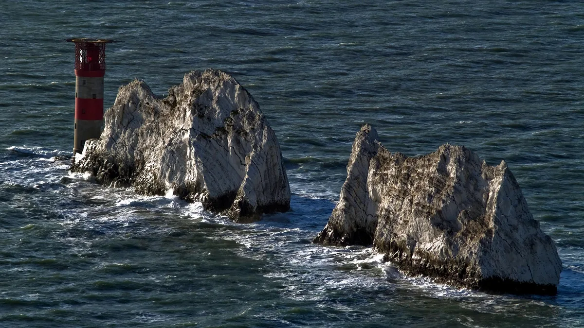
Needles Lighthouse
Lighthouses · 0.6 km
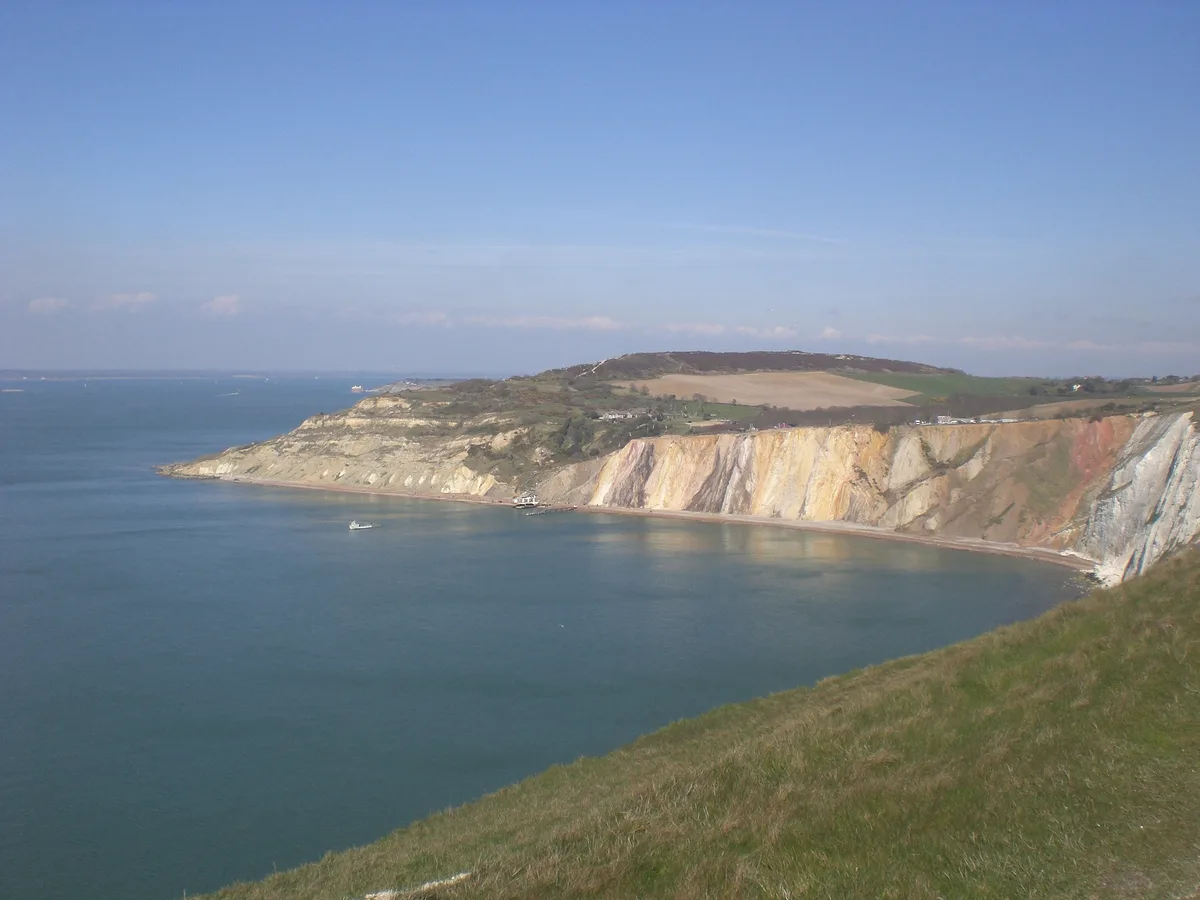
Alum Bay
Mountains & hills · 0.7 km

West High Down
Mountains & hills · 1.2 km

Alum Bay Beach
Beaches · 1.3 km
Nearby
📷 5Natural landmarks · South East England
Needles Old Battery
Needles Old Battery — a other in england-south-east, United Kingdom.
📷 5Museums · South East England
Old Battery Museum
Old Battery Museum — a museum in england-south-east, United Kingdom.
📷 5Viewpoints · South East England
Needles Viewpoint
Needles Viewpoint is a viewpoint in the United Kingdom.
📷 5📷 5Historic houses · South East England
High Down Rocket Test Site
High Down Rocket Test Site — a historic house in england-south-east, United Kingdom.
📷 5Archaeological sites · South East England
High Down Rocket Test Site
High Down Rocket Test Site — archaeological in england south east.
Where to eat & stay near Scratchell's Bay
Places to stay
 📷 5
📷 5 📷 5
📷 5 📷 5
📷 5Hotels · South East England
Farringford House
Farringford House — a hotel in england south east.
 📷 5
📷 5Campsites · South East England
Heathfield Farm Camp Site
Heathfield Farm Camp Site — a campsite in england south east.
 📷 7
📷 7 📷 7
📷 7Hotels · South East England
The George Hotel
The George Hotel — a hotel in england south east.
Places to eat & drink
 📷 5
📷 5Historic pubs · South East England
The Beach House
The Beach House in England South East, United Kingdom.
 📷 7
📷 7 📷 7
📷 7 📷 7
📷 7Historic pubs · South East England
Walhampton Arms, formerly farm building range at Home Farm
Walhampton Arms, formerly farm building range at Home Farm in England South East, United Kingdom.
 📷 7
📷 7 📷 5
📷 5Historic pubs · South East England
Forest Heath Hotel
Forest Heath Hotel in England South West, United Kingdom.
More mountains in this region
 📷 5
📷 5 📷 5
📷 5Mountains & hills · South East England
Reigate Caves
Reigate Caves is a mountain or hill in the United Kingdom.
 📷 5
📷 5Mountains & hills · South East England
North Downs
North Downs — a hill or mountain in england london.
 📷 5
📷 5Mountains & hills · South East England
Blue Bell Hill
Blue Bell Hill — a hill or mountain in england london.
Frequently asked questions
- Where is Scratchell's Bay?
- Scratchell's Bay is in South-East England, United Kingdom (postcode PO39 0JH), in the parish of Totland.
- What is Scratchell's Bay?
- Scratchell's Bay is a mountain or hill in the United Kingdom.
- How do I get to Scratchell's Bay?
- Drivers can use postcode PO39 0JH.
- Is Scratchell's Bay a protected site?
- Yes — Scratchell's Bay is part of the Headon Warren and West High Down SSSI Site of Special Scientific Interest and the Isle Of Wight National Landscape (AONB).
- Is Scratchell's Bay free to visit?
- Yes, Scratchell's Bay is free to enter.
- How do I get to Scratchell's Bay?
- Drivers can navigate to postcode PO39 0JH. It sits within the Isle of Wight West parliamentary constituency.