Mountains & hills · Scottish Islands
Saxa Vord
In or near Skaw.
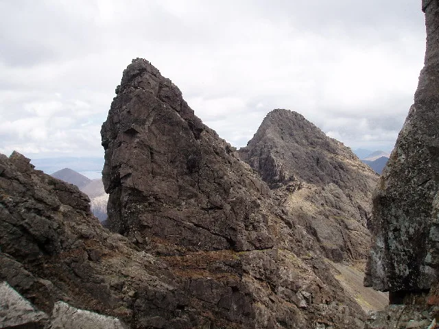
Saxa Vord — Named summit at 285 m.

Wikimedia Commons contributors — see linked file page for photographer and licence licence
Plan your visit
- Typical visit
- 3 h–8 h
- Best time of year
- Late spring – early autumn (May–Oct)
- Free entry
- Dog-friendly
About
Saxa Vord is a named summit in the United Kingdom. Wikidata describes it as: "Named summit at 285 m.". Coordinates: 60.8275°, -0.8411°.
Photo gallery
From the Wikipedia article
Remote Radar Head Saxa Vord or RRH Saxa Vord (aka RAF Saxa Vord), is a Royal Air Force radar station located on the island of Unst, the most northern of the Shetland Islands in Scotland. As of July 2019 it is once more a fully operational radar station, after closure in 2006. The station's motto Praemoneo de Periculis ('Premonition of Peril') reflects its role. RAF Saxa Vord is further north than Saint Petersburg in Russia, and on the same latitude as Anchorage, Alaska. The station was named after Saxa Vord, which is the highest hill on Unst at 935 ft (285 m). It holds the unofficial British record for wind speed, which in 1992 was recorded at 197 mph (317 km/h) — just before the measuring equipment blew away.
Excerpt from Wikipedia under CC BY-SA 4.0. See the source article linked in Sources below.
- Coordinates
- 60.8275, -0.8411
- Address
- Unst, Shetland Islands
- Established
- 1957
Sources
- osm: n3473428285 (ODbL)
- wikipedia: RRH Saxa Vord (CC BY-SA 4.0)
- commons: Saxa Vord radome - geograph.org.uk - 311296.jpg (CC BY-SA 4.0)
Other places nearby

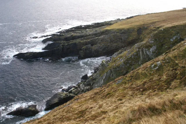
Leera Stack
Mountains & hills · 1.0 km
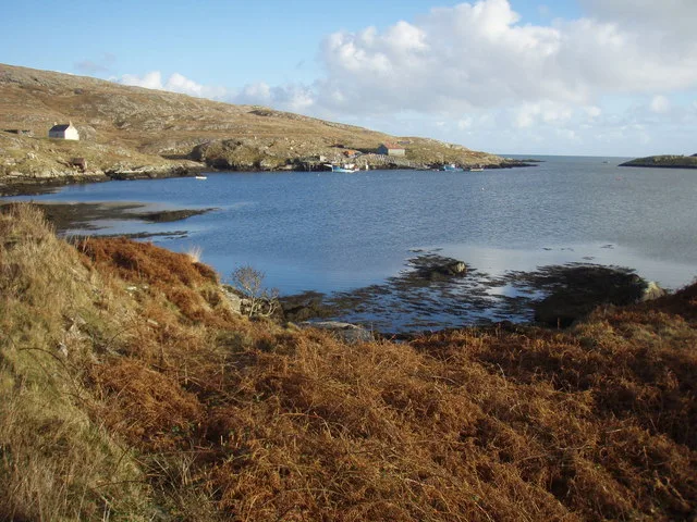
Brei Wick
Mountains & hills · 1.0 km
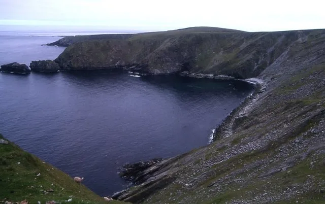
Burra Firth
Mountains & hills · 1.2 km

Sothers Field
Mountains & hills · 1.2 km
Sothers Field
Mountains & hills · 1.2 km

Burra Firth
Natural landmarks · 1.5 km

Ward of Norwick
Mountains & hills · 1.9 km
Ward of Norwick
Mountains & hills · 1.9 km

Smodal Ayre
Beaches · 2.1 km

Hermaness Hill
Mountains & hills · 2.6 km
Hermaness Hill
Mountains & hills · 2.6 km

Skaw
Towns & cities · 2.7 km
Nearby
📷 5Mountains & hills · Scottish Islands
Leera Stack
Leera Stack — a hill or mountain in scotland islands.
📷 2Mountains & hills · Scottish Islands
Brei Wick
Brei Wick — bay on the north coast of Unst, Shetland Islands, Scotland, UK.
📷 3Mountains & hills · Scottish Islands
Burra Firth
Burra Firth — bay on Unst, Shetland Islands, Scotland, UK.
📷 5Mountains & hills · Scottish Islands
Sothers Field
Sothers Field — a hill or mountain in scotland islands.
📷 5Mountains & hills · Scottish Islands
Sothers Field
Sothers Field — mountain in scotland islands. Elevation: 237 m.
📷 5Natural landmarks · Scottish Islands
Burra Firth
Burra Firth — a natural feature in scotland islands.
Where to eat & stay near Saxa Vord
Places to stay
 📷 5
📷 5Hostels · Scottish Islands
Saxa Vord resort
Saxa Vord resort — a hostel in scotland islands.
 📷 5
📷 5 📷 5
📷 5Campsites · Scottish Islands
Gardiesfauld Campsite
Gardiesfauld Campsite — a campsite in scotland islands.
 📷 5
📷 5Caravan parks · Scottish Islands
Gardiesfauld Caravan Park
Gardiesfauld Caravan Park — a caravan park in scotland islands.
More mountains in this region
 📷 3
📷 3Mountains & hills · Scottish Islands
Acairseid Mhor
Acairseid Mhor — bay in Outer Hebrides, Scotland, UK.
 📷 3
📷 3Mountains & hills · Scottish Islands
Ainshval
Ainshval — Named summit at 781 m.
 📷 3
📷 3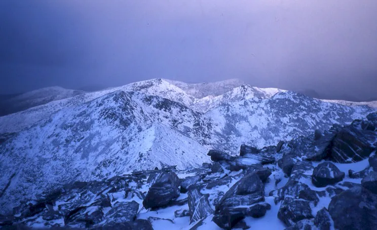 📷 5
📷 5Mountains & hills · Scottish Islands
An Cliseam
An Cliseam — Named summit at 799 m.
Frequently asked questions
- Where is Saxa Vord?
- Saxa Vord is in the Scottish Islands, United Kingdom.
- What is Saxa Vord?
- Saxa Vord — Named summit at 285 m.
- How do I get to Saxa Vord?
- Its coordinates are 60.8275°, -0.8411°.
- When was Saxa Vord built?
- Built or established in 1957.
- Who owns Saxa Vord?
- Saxa Vord is owned by Royal Air Force.
- Is Saxa Vord free to visit?
- Yes, Saxa Vord is free to enter.