
Gardens · East of England
Royal National Rose Society Gardens
In or near Bricket Wood.
The Royal National Rose Society Gardens, also known as The Gardens of The Rose, were the gardens and headquarters of The Royal National Rose Society at Bone Hill, Chiswell Green, St Albans, Hertfordsh

Christine Matthews — CC BY-SA 2.0 via Wikimedia Commons licence

Plan your visit
- Typical visit
- 1 h–2.5 h
- Best time of year
- Spring & summer (Apr–Sep)
- Nearest railway station
- How Wood · 2.2 km
- Dog-friendly
Getting there & planning your visit
The Royal National Rose Society Gardens is located in St Albans, Hertfordshire, with the postcode AL2 3NS. The nearest railway station is How Wood, which is 2.2 km away. Entry details and accessibility information are not provided.
About
The Royal National Rose Society Gardens, also known as The Gardens of The Rose, were the gardens and headquarters of The Royal National Rose Society at Bone Hill, Chiswell Green, St Albans, Hertfordshire in the United Kingdom. The Royal National Rose Society was established in 1876 and the gardens were opened over 50 years ago by Mary, Princess Royal who was a Patron of the society at the time. The Society's stated aim was to create a "living dictionary" of roses. The gardens contain 2,500 different rose cultivars among 15,000 rose bushes. The Royal National Rose Society went into administration on 15 May 2017. The Gardens are permanently closed.
Photo gallery
Protected designations
- Area of Outstanding Natural Beauty: Chilterns
Designations sourced from Natural England open data under OGL v3.
From the Wikipedia article
The Royal National Rose Society Gardens, also known as The Gardens of The Rose, were the gardens and headquarters of The Royal National Rose Society at Bone Hill, Chiswell Green, St Albans, Hertfordshire in the United Kingdom. The Royal National Rose Society was established in 1876 and the gardens were opened over 50 years ago by Mary, Princess Royal who was a Patron of the society at the time. The Society's stated aim was to create a "living dictionary" of roses. The gardens contain 2,500 different rose cultivars among 15,000 rose bushes. The Royal National Rose Society went into administration on 15 May 2017. The Gardens are permanently closed.
Excerpt from Wikipedia under CC BY-SA 4.0. See the source article linked in Sources below.
- Coordinates
- 51.7272, -0.3719
- County
- Hertfordshire
- District
- St Albans
- Parish
- St Stephen
- Postcode
- AL2 3NS
- Parliamentary constituency
- St Albans
- Nearest railway station
- How Wood — 2.2 km
Sources
- wikipedia: Royal National Rose Society Gardens (CC BY-SA 4.0)
Other places nearby

Royal National Rose Society Gardens
Botanic gardens · 0.0 km

Butterfly World, Hertfordshire
Natural landmarks · 0.2 km

Three Hammers Public House
Historic pubs · 0.8 km

Holly Bush Public House
Historic pubs · 1.2 km

Spielplatz
Forests & woodlands · 1.6 km

Watling Street Caravan Park
Caravan parks · 1.9 km

Turning Forms
Public art & sculpture · 2.1 km

Verlamion
Archaeological sites · 2.2 km

Moor Mill Quarry, West
Quarries · 2.3 km

Bricket Wood
Towns & cities · 2.3 km
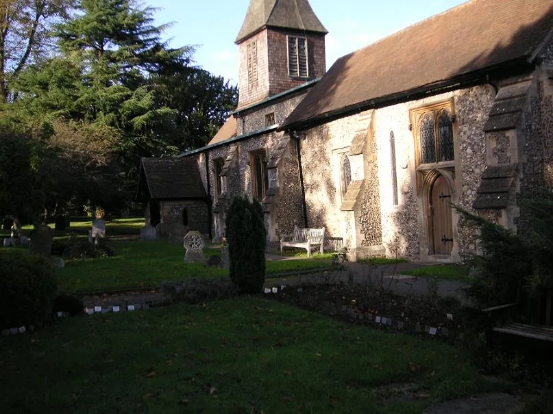
St. Stephen's Church, St. Albans
Historic churches · 2.3 km

Verulamium, Prae Wood settlement
Vineyards · 2.4 km
Nearby
📷 5Botanic gardens · East of England
Royal National Rose Society Gardens
Royal National Rose Society Gardens — a botanic garden in england london.
📷 4Natural landmarks · East of England
Butterfly World, Hertfordshire
The Butterfly World Project was a visitor attraction in the village of Chiswell Green, on the outskirts of St Albans in Hertfordshire, UK, dedicated to showcasing and promoting learning about butterfl
📷 5Historic pubs · East of England
Three Hammers Public House
Three Hammers Public House in England East, United Kingdom.
📷 5Historic pubs · East of England
Holly Bush Public House
Holly Bush Public House in England East, United Kingdom.
📷 3Forests & woodlands · East of England
Spielplatz
Spielplatz (German for playground) is the longest-operating naturist resort in United Kingdom, and consists of 12 acres (4.9 ha) located in the village of Bricket Wood, in the English county of Hertfo
📷 5Caravan parks · East of England
Watling Street Caravan Park
Watling Street Caravan Park — a caravan park in england london.
Where to eat & stay near Royal National Rose Society Gardens
Places to stay
📷 5Caravan parks · East of England
Watling Street Caravan Park
Watling Street Caravan Park — a caravan park in england london.
 📷 5
📷 5 📷 5
📷 5 📷 5
📷 5 📷 5
📷 5Hotels · East of England
The White Hart Hotel
The White Hart Hotel — a hotel in england london.
 📷 5
📷 5Campsites · London
Springfield Park
Springfield Park — a campsite in england london.
Places to eat & drink
📷 5Historic pubs · East of England
Three Hammers Public House
Three Hammers Public House in England East, United Kingdom.
📷 5Historic pubs · East of England
Holly Bush Public House
Holly Bush Public House in England East, United Kingdom.
📷 5 📷 5
📷 5Historic pubs · East of England
Ye Olde Fighting Cocks
Ye Olde Fighting Cocks in England East, United Kingdom.
 📷 5
📷 5 📷 5
📷 5Historic pubs · East of England
The Six Bells
The Six Bells in England East, United Kingdom.
More gardens in this region
 Flagship📷 10
Gardens · East of England
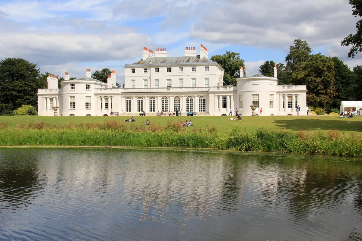
Frogmore Estate
Frogmore Estate — private gardens within the grounds of the Home Park, adjoining Windsor Castle in Berkshire, England, UK.
 Flagship📷 10
Gardens · East of England
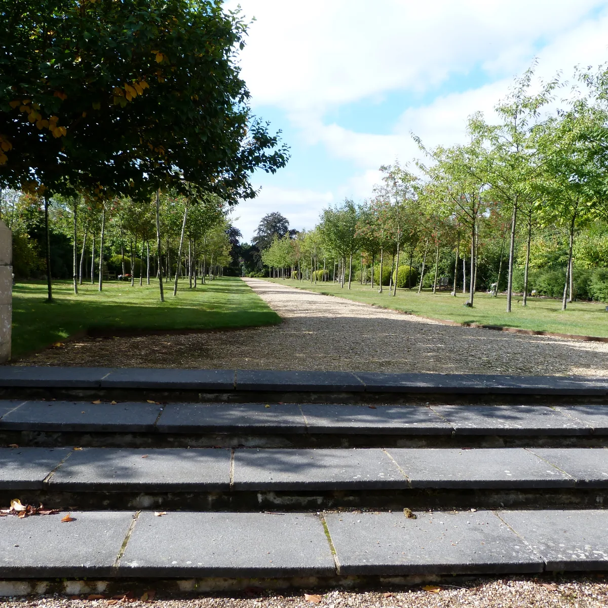
Stoke Poges Memorial Gardens
Stoke Poges Memorial Gardens — garden in Stoke Poges, Buckinghamshire, England, UK.
.jpg?width=1200) 📷 5
📷 5Gardens · East of England
Benington Lordship
Benington Lordship — country house in Hertfordshire, England, UK.
 📷 5
📷 5Gardens · East of England
Broadway
Broadway — road and green space in Letchworth, Hertfordshire, England, UK.
Frequently asked questions
- Where is Royal National Rose Society Gardens?
- Royal National Rose Society Gardens is in Hertfordshire, East of England, United Kingdom (postcode AL2 3NS), in the parish of St Stephen.
- What is Royal National Rose Society Gardens?
- The Royal National Rose Society Gardens, also known as The Gardens of The Rose, were the gardens and headquarters of The Royal National Rose Society at Bone Hill, Chiswell Green, St Albans, Hertfordsh
- How do I get to Royal National Rose Society Gardens?
- The nearest railway station is How Wood, about 2.2 km away. Drivers can use postcode AL2 3NS.
- Is Royal National Rose Society Gardens a protected site?
- Yes — Royal National Rose Society Gardens is part of the Chilterns National Landscape (AONB).
- How do I get to Royal National Rose Society Gardens?
- The nearest railway station is How Wood, about 2.2 km away. Drivers can navigate to postcode AL2 3NS.