
Historic bridges · Yorkshire & the Humber
Rough Bridge Approximately 100 Metres South-East Of Lindrick Gate
In or near Ripon.
Rough Bridge Approximately 100 Metres South-East Of Lindrick Gate — Grade II listed building-listed bridge in england-yorkshire, United Kingdom.

Gordon Hatton — CC BY-SA 2.0 via Wikimedia Commons licence

Plan your visit
- Typical visit
- 15 min–30 min
- Free entry
- Dog-friendly
About
Rough Bridge Approximately 100 Metres South-East Of Lindrick Gate is a Grade II listed building-listed bridge in england-yorkshire, United Kingdom, registered on the National Heritage List for England (NHLE entry 1315266). Listed status protects buildings and structures of special architectural or historic interest. See the linked Wikipedia article for further details.
Photo gallery
Heritage listing
Details SE 27 SE LINDRICK AND STUDLEY STUDLEY PARK ROYAL AND FOUNTAINS 5/49 Rough Bridge approximately 100 metres south-east of Lindrick Gate GV II Bridge. Probably mid C18, for John or William Aislabie of Studley Royal House. Gritstone and limestone rubble. 2 round arches, one wide and one narrow. Parapet of massive boulders, roughly-dressed on inner face. The soffits are rendered with cement and lined to imitate blocks, probably C20. The bridge carried the path between Studley Royal House (demolished) and the large kitchen gardens and greenhouses which surrounded Wheatbrig House (qv) over the Dale, a narrow wooded dry valley which links the Lindrick Gate and the Ripon drive. The plan is very similar to Galand Bridge, Markington with Wallerthwaite (qv) on the south side of the Park close to Fountains Abbey (qv). Listing NGR: SE2800770173 Legacy The contents of this record have been generated from a legacy data system. Legacy System number: 331053 Legacy System: LBS
From the Historic England List Entry under OGL v3.
Protected designations
- Area of Outstanding Natural Beauty: Nidderdale
Designations sourced from Natural England open data under OGL v3.
Place summary
Rough Bridge is a Grade II listed bridge located approximately 100 metres south-east of Lindrick Gate in Yorkshire. It is situated within the parish of Lindrick with Studley Royal and Fountains.
AI-generated from the structured facts on this page (operator, designation, listing, era). Not a substitute for visiting.
- Coordinates
- 54.1267, -1.5729
- District
- North Yorkshire
- Parish
- Lindrick with Studley Royal and Fountains
- Postcode
- HG4 3BB
- Parliamentary constituency
- Skipton and Ripon
Sources
- wikidata: Q26601655 (CC0)
Other places nearby

Ice Houses
Archaeological sites · 0.8 km

Rustic Bridge Over River Skell Approximately 150 Metres East Of Outlet From Lake
Historic bridges · 1.0 km
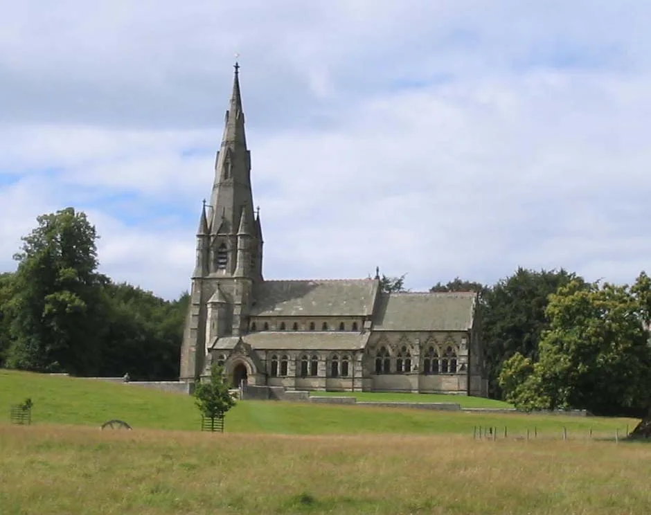
St Mary's Church, Studley Royal
Historic churches · 1.0 km

Studley Roger
Villages · 1.0 km

The Obelisk
Memorials & monuments · 1.1 km

Rustic Bridge Over River Skell Approximately 300 Metres South-East Of Outlet From The Lake, With Ford And Weir Approximately 2 Metres To West
Historic bridges · 1.1 km
Rustic Bridge Over River Skell Approximately 350 Metres South-East Of Outlet From The Lake, With Ford Approximately 2 Metres To South
Historic bridges · 1.2 km
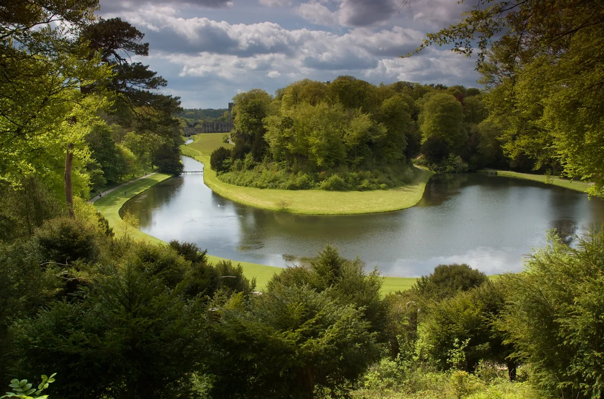
Studley Royal Park including the Ruins of Fountains Abbey
UNESCO World Heritage · 1.2 km

Studley Royal Park
Abbeys & priories · 1.2 km

Octagon Tower
Follies · 1.2 km

The Wrestlers
Public art & sculpture · 1.2 km

Rustic Bridge Over River Skell Approximately 500 Metres South-East Of The Outlet From The Lake, With Ford Approximately 4 Metres To North
Historic bridges · 1.2 km
Nearby
📷 3Archaeological sites · Yorkshire & the Humber
Ice Houses
Ice Houses — a archaeological in england-yorkshire, United Kingdom.
📷 3Historic bridges · Yorkshire & the Humber
Rustic Bridge Over River Skell Approximately 150 Metres East Of Outlet From Lake
Rustic Bridge Over River Skell Approximately 150 Metres East Of Outlet From Lake — Grade II listed building-listed bridge in england-yorkshire, United Kingdom.
📷 5Historic churches · Yorkshire & the Humber
St Mary's Church, Studley Royal
St Mary's Church, Studley Royal — Grade I listed church in Lindrick with Studley Royal and Fountains, Harrogate, North Yorkshire, England, UK.
📷 5★ Iconic📷 5Memorials & monuments · Yorkshire & the Humber
The Obelisk
The Obelisk is a memorial in the United Kingdom.
📷 3Historic bridges · Yorkshire & the Humber
Rustic Bridge Over River Skell Approximately 300 Metres South-East Of Outlet From The Lake, With Ford And Weir Approximately 2 Metres To West
Rustic Bridge Over River Skell Approximately 300 Metres South-East Of Outlet From The Lake, With Ford And Weir Approximately 2 Metres To West — Grade II listed building-listed bridge in england-yorksh
Where to eat & stay near Rough Bridge Approximately 100 Metres South-East Of Lindrick Gate
Places to stay
 📷 5
📷 5Caravan parks · Yorkshire & the Humber
River Laver Holiday Park Ltd.
River Laver Holiday Park Ltd. — a caravan park in england yorkshire.
 📷 5
📷 5Campsites · Yorkshire & the Humber
Clotherholme Farm Campsite
Clotherholme Farm Campsite — a campsite in england yorkshire.
 📷 7
📷 7Hotels · Yorkshire & the Humber
The Old Deanery
The Old Deanery — a hotel in england yorkshire.
 📷 5
📷 5Campsites · Yorkshire & the Humber
Woodhouse Farm
Woodhouse Farm — a campsite in england yorkshire.
Caravan parks · Yorkshire & the Humber
Woodhouse Farm Holiday Park
Woodhouse Farm Holiday Park — a caravan park in england yorkshire.
 📷 5
📷 5Caravan parks · Yorkshire & the Humber
Ripon - Lockside Caravan Site
Ripon - Lockside Caravan Site — a caravan park in england yorkshire.
Places to eat & drink
 📷 7
📷 7Historic pubs · Yorkshire & the Humber
Lamb And Flag Public House
Lamb And Flag Public House in England Yorkshire, United Kingdom.
 📷 7
📷 7 📷 5
📷 5Historic pubs · Yorkshire & the Humber
The Unicorn Hotel
The Unicorn Hotel in England Yorkshire, United Kingdom.
 📷 5
📷 5Cafés · Yorkshire & the Humber
Lula's Café
Lula's Café — a café in england yorkshire.
 📷 7
📷 7Historic pubs · Yorkshire & the Humber
Ye Hornblower Tavern
Ye Hornblower Tavern in England Yorkshire, United Kingdom.
 📷 7
📷 7Historic pubs · Yorkshire & the Humber
The Fleece Public House
The Fleece Public House in England Yorkshire, United Kingdom.
More bridges in this region
 📷 5
📷 5Historic bridges · Yorkshire & the Humber
Broadbottom Viaduct
Broadbottom Viaduct is a historic bridge in the United Kingdom.
 📷 3
📷 3Historic bridges · Yorkshire & the Humber
Goyt Cliff Viaduct
Goyt Cliff Viaduct is a historic bridge in the United Kingdom.
 📷 3
📷 3Historic bridges · Yorkshire & the Humber
Iron Bridge
Iron Bridge is a historic bridge in the United Kingdom.
.jpg?width=1200) 📷 5
📷 5Historic bridges · Yorkshire & the Humber
Marple Aqueduct
Marple Aqueduct is a historic bridge in the United Kingdom.
Frequently asked questions
- Where is Rough Bridge Approximately 100 Metres South-East Of Lindrick Gate?
- Rough Bridge Approximately 100 Metres South-East Of Lindrick Gate is in Yorkshire, United Kingdom (postcode HG4 3BB), in the parish of Lindrick with Studley Royal and Fountains.
- What is Rough Bridge Approximately 100 Metres South-East Of Lindrick Gate?
- Rough Bridge Approximately 100 Metres South-East Of Lindrick Gate — Grade II listed building-listed bridge in england-yorkshire, United Kingdom.
- How do I get to Rough Bridge Approximately 100 Metres South-East Of Lindrick Gate?
- The nearest town is Ripon. Drivers can use postcode HG4 3BB.
- Is Rough Bridge Approximately 100 Metres South-East Of Lindrick Gate a listed building?
- Rough Bridge Approximately 100 Metres South-East Of Lindrick Gate is officially recognised as Grade II listed building listed.
- Is Rough Bridge Approximately 100 Metres South-East Of Lindrick Gate a protected site?
- Yes — Rough Bridge Approximately 100 Metres South-East Of Lindrick Gate is part of the Nidderdale National Landscape (AONB).
- Is Rough Bridge Approximately 100 Metres South-East Of Lindrick Gate free to visit?
- Yes, Rough Bridge Approximately 100 Metres South-East Of Lindrick Gate is free to enter.
- How do I get to Rough Bridge Approximately 100 Metres South-East Of Lindrick Gate?
- Drivers can navigate to postcode HG4 3BB. It sits within the Skipton and Ripon parliamentary constituency.