
Historic bridges · South East England
Rockingham Road Bridge (Bhl5333)
In or near Bagnor.
Rockingham Road Bridge (Bhl5333) — Grade II listed building-listed bridge in england-south-east, United Kingdom.

Roger Templeman — CC BY-SA 2.0 via Wikimedia Commons licence

Plan your visit
- Typical visit
- 15 min–30 min
- Nearest railway station
- Newbury · 0.5 km
- Free entry
- Dog-friendly
Getting there & planning your visit
To visit Rockingham Road Bridge, the nearest railway station is Newbury, located 0.5 km away. Entry to the bridge is free.
About
Rockingham Road Bridge (Bhl5333) is a Grade II listed building-listed bridge in england-south-east, United Kingdom, registered on the National Heritage List for England (NHLE entry 1409266). Listed status protects buildings and structures of special architectural or historic interest. See the linked Wikipedia article for further details.
Photo gallery
Heritage listing
Details MATERIALS: original handmade red brick, with some red engineering brick patching and GWR red and purple engineering brick to the tops of the parapets. English bond. DESCRIPTION: single segmental arch with c. 36ft span springing from abutments which incline inwards. Each abutment pierced by three segmental arched recesses. The carriageway is unusually wide at 24ft between parapets. The bridge faces, with stepped string course, continue in an elegantly gentle curve to form slightly raked wing walls, where the humped-back parapets terminate in piers expressed on the external face only. The parapets raised in the C20 with five courses of engineering brick and a steeply pitched rendered coping. This is an unusual design for Brunel.
From the Historic England List Entry under OGL v3.
Protected designations
- Site of Special Scientific Interest: River Kennet SSSI
- Area of Outstanding Natural Beauty: North Wessex Downs
Designations sourced from Natural England open data under OGL v3.
Place summary
Rockingham Road Bridge is a Grade II listed bridge located in South-East England. This structure is recognised for its architectural significance and historical value within the region.
AI-generated from the structured facts on this page (operator, designation, listing, era). Not a substitute for visiting.
- Coordinates
- 51.3972, -1.3303
- District
- West Berkshire
- Parish
- Newbury
- Postcode
- RG14 5PA
- Parliamentary constituency
- Newbury
- Nearest railway station
- Newbury — 0.5 km
- Official site
- www.newburyhistory.co.uk
Sources
- wikidata: Q26676080 (CC0)
Other places nearby

Newbury Martyrs
Memorials & monuments · 0.1 km

Newbury Jamme Masjid
Historic churches · 0.1 km
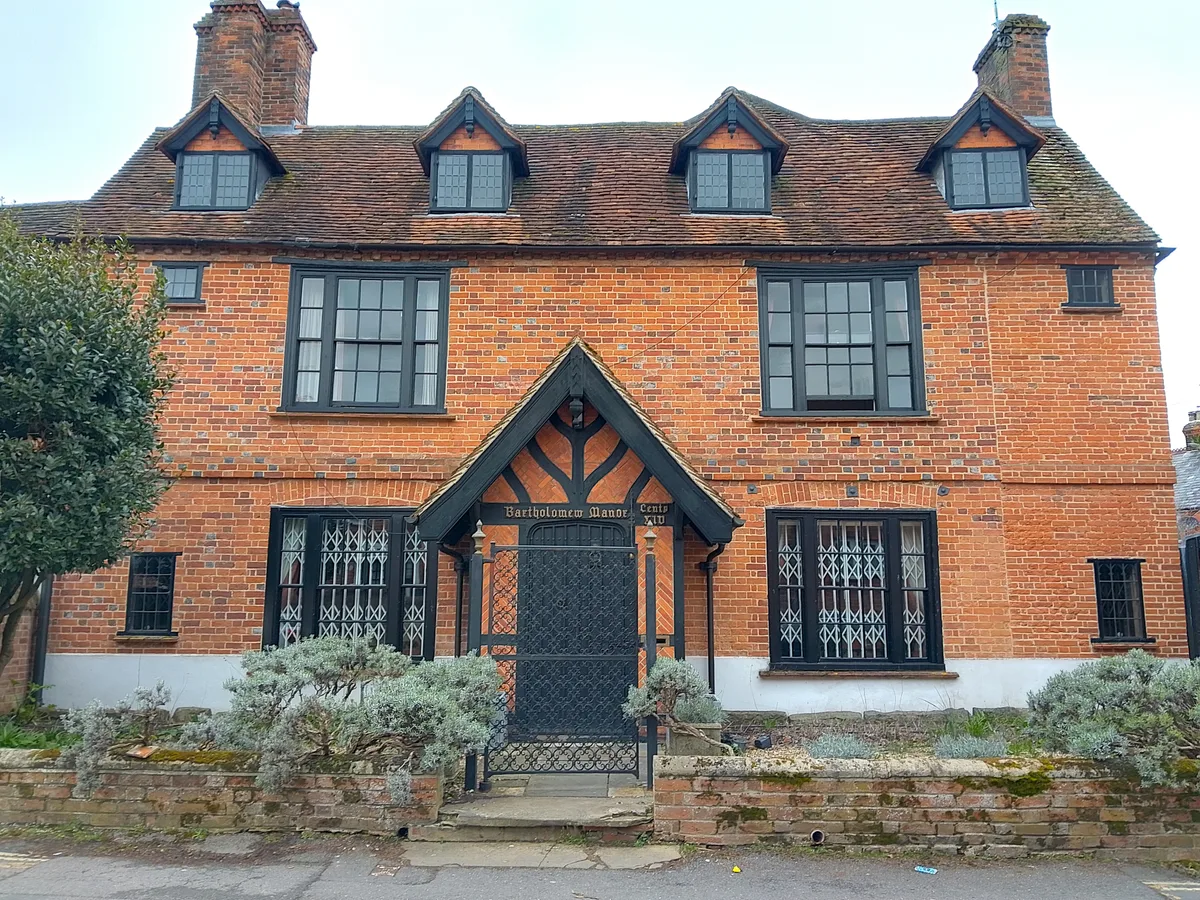
Bartholomew Manor
Stately homes · 0.2 km

Phoenix Brewery
Breweries · 0.2 km

Litten Chapel (part Of The Newbury Commercial School)
Chapels · 0.3 km

The Eight Bells
Historic pubs · 0.3 km

Wellington Arms Public House
Historic pubs · 0.3 km
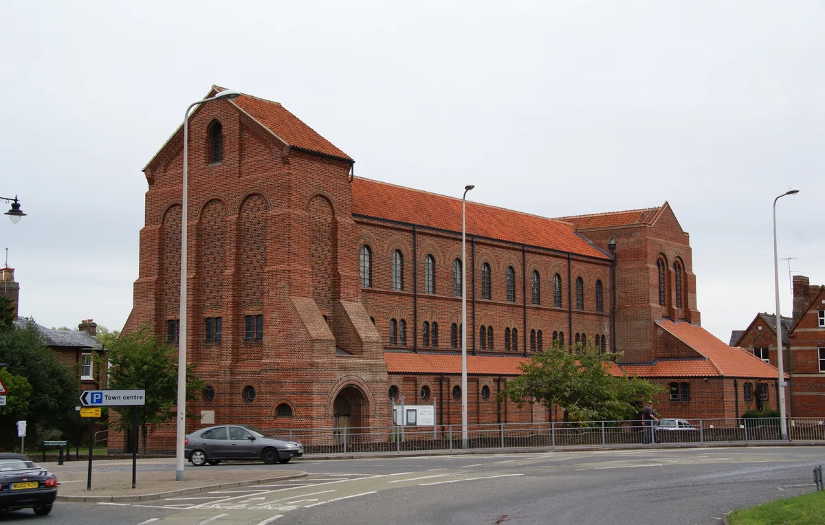
St John the Evangelist Church, Newbury
Historic churches · 0.4 km

Vue Newbury
Theatres · 0.4 km

St Nicolas House
Historic houses · 0.5 km

Newbury Lock
Canal locks · 0.5 km

The Newbury
Historic pubs · 0.5 km
Nearby
📷 5Memorials & monuments · South East England
Newbury Martyrs
Newbury Martyrs — a memorial in england-south-east, United Kingdom.
📷 5Historic churches · South East England
Newbury Jamme Masjid
Newbury Jamme Masjid — a church in england-south-east, United Kingdom.
Flagship📷 5Stately homes · South East England
Bartholomew Manor
Bartholomew Manor — manor house in Newbury, West Berkshire, England, UK.
📷 5Breweries · South East England
Phoenix Brewery
Phoenix Brewery is a brewery in the United Kingdom.
📷 5Chapels · South East England
Litten Chapel (part Of The Newbury Commercial School)
Litten Chapel (part Of The Newbury Commercial School) — 16th century chapel in Newbury, West Berkshire, England, UK.
📷 7Historic pubs · South East England
The Eight Bells
The Eight Bells in England South East, United Kingdom.
Where to eat & stay near Rockingham Road Bridge (Bhl5333)
Places to stay
 📷 5
📷 5Hotels · South East England
The Elephant at the Market
The Elephant at the Market — a hotel in england south east.
 📷 7
📷 7 📷 5
📷 5 📷 7
📷 7 📷 7
📷 7Hotels · South East England
Donnington Valley Hotel
Donnington Valley Hotel — a hotel in england south east.
 📷 3
📷 3Caravan parks · South East England
Cherry Bird Country Park
Cherry Bird Country Park — a caravan park in england south east.
Places to eat & drink
📷 7Historic pubs · South East England
The Eight Bells
The Eight Bells in England South East, United Kingdom.
📷 7Historic pubs · South East England
Wellington Arms Public House
Wellington Arms Public House in England South East, United Kingdom.
📷 5 📷 5
📷 5Historic pubs · South East England
Old Drummer's Arms
Old Drummer's Arms in England South East, United Kingdom.
 📷 7
📷 7Historic pubs · South East England
King Charles Tavern
King Charles Tavern in England South East, United Kingdom.
 📷 5
📷 5Restaurants · South East England
Goat on the Roof
Goat on the Roof — a restaurant in england south east.
More bridges in this region
 📷 5
📷 5Historic bridges · South East England
Briary Hill Bridge east
Briary Hill Bridge east is a historic bridge in the United Kingdom.
 📷 5
📷 5Historic bridges · South East England
Briary Hill Bridge west
Briary Hill Bridge west is a historic bridge in the United Kingdom.
 📷 5
📷 5Historic bridges · South East England
Bridge 157 VIR (Bath Hard Road)
Bridge 157 VIR (Bath Hard Road) is a historic bridge in the United Kingdom.
 📷 5
📷 5Historic bridges · South East England
Dorking Arch Bridge
Dorking Arch Bridge is a historic bridge in the United Kingdom.
Frequently asked questions
- Where is Rockingham Road Bridge (Bhl5333)?
- Rockingham Road Bridge (Bhl5333) is in South-East England, United Kingdom (postcode RG14 5PA), in the parish of Newbury.
- What is Rockingham Road Bridge (Bhl5333)?
- Rockingham Road Bridge (Bhl5333) — Grade II listed building-listed bridge in england-south-east, United Kingdom.
- How do I get to Rockingham Road Bridge (Bhl5333)?
- The nearest railway station is Newbury, about 0.5 km away. Drivers can use postcode RG14 5PA.
- Is Rockingham Road Bridge (Bhl5333) a listed building?
- Rockingham Road Bridge (Bhl5333) is officially recognised as Grade II listed building listed.
- Is Rockingham Road Bridge (Bhl5333) a protected site?
- Yes — Rockingham Road Bridge (Bhl5333) is part of the River Kennet SSSI Site of Special Scientific Interest and the North Wessex Downs National Landscape (AONB).
- Is Rockingham Road Bridge (Bhl5333) free to visit?
- Yes, Rockingham Road Bridge (Bhl5333) is free to enter.
- How do I get to Rockingham Road Bridge (Bhl5333)?
- The nearest railway station is Newbury, about 0.5 km away. Drivers can navigate to postcode RG14 5PA.