Natural landmarks · North East England
River Swale
Also known as: Afon Swale
In or near Helbeck.
River Swale in England North East, United Kingdom.

Roger Templeman — CC BY-SA 2.0 via Wikimedia Commons licence
_-_geograph.org.uk_-_5063103.jpg)
Plan your visit
- Typical visit
- 1 h–2 h
- Nearest railway station
- Kirkby Stephen East · 5.6 km
- Free entry
- Dog-friendly
Getting there & planning your visit
To visit the River Swale, the nearest railway station is Kirkby Stephen East, located 5.6 km away. Entry to the site is free.
About
River Swale is a place of interest in England North East, United Kingdom — drawn from open-data sources for visitor reference. See the linked Wikipedia article for the full description.
Photo gallery
Protected designations
- Site of Special Scientific Interest: Mallerstang-Swaledale Head SSSI
- Site of Special Scientific Interest: River Eden and Tributaries SSSI
Designations sourced from Natural England open data under OGL v3.
From the Wikipedia article
The River Swale in Yorkshire, England, is a major tributary of the River Ure, which becomes the River Ouse, that empties into the North Sea via the Humber Estuary. The river gives its name to Swaledale, the valley through which it flows. The river and its valley are home to many types of flora and fauna typical to the Yorkshire Dales. Like similar rivers in the region, the river carves through several types of rock and has features typical of both river and glacial erosion. The River Swale has been a contributory factor in the settlements that have been recorded throughout its history. It has provided water to aid in the raising of crops and livestock, but also in the various mining activities that have occurred since Roman times and before. The river is said to be the fastest flowing in England and its levels have been known to rise 10 feet (3 m) in 20 minutes. Annual rainfall figures average 1800 mm p.a. in the headwaters and 1300 mm p.a. in the lower waters over a drop of 148 m in 32 km.
Excerpt from Wikipedia under CC BY-SA 4.0. See the source article linked in Sources below.
Background
History
The earliest evidence of occupation in the river valley can be dated to the Mesolithic and Neolithic Ages with the discovery of flint tools and arrowheads. Around Harkerside are some small stone circles that date to the Bronze Age and some Iron Age defensive earthworks. Evidence of lead mining has been traced back to Roman times with finds at the Hurst mine. Evidence of the lead mining can still be seen from the remains of the 18th-century practice of 'hushing' that involved creating turf dams across gills that were then released to wash away topsoil to expose the ore veins. It was part of the Votadini Celtic kingdom of Catraeth, but in the late 6th century the river valley was invaded by…
Sourced from Wikipedia under CC BY-SA 4.0.
- Coordinates
- 54.4306, -2.2905
- Nearest railway station
- Kirkby Stephen East — 5.6 km
Sources
- wikidata: Q3396347 (CC0)
- wikipedia: River Swale (CC BY-SA 4.0)
Other places nearby

Hollow Mill Cross
Memorials & monuments · 0.2 km

Uldale Force
Waterfalls · 0.9 km

High Pike Hill
Mountains & hills · 1.1 km

Tailbridge Hill
Mountains & hills · 1.7 km
Nateby Common
Mountains & hills · 1.7 km

Stank Hill
Mountains & hills · 1.9 km

White Mossy Hill
Mountains & hills · 2.1 km

Pennine Way
Long-distance walking trails · 2.2 km
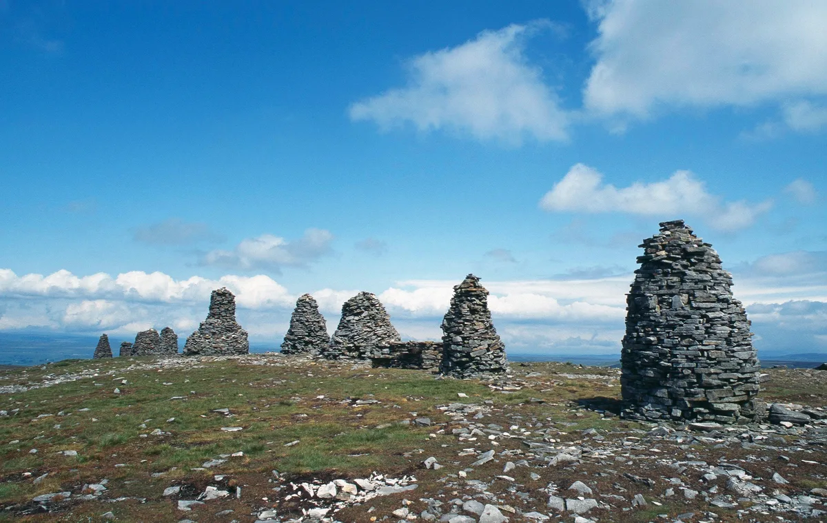
Nine Standards Rigg
Mountains & hills · 2.5 km

Whitebank Hill
Mountains & hills · 2.6 km
Great Bell
Mountains & hills · 2.7 km

Nine Standards Rigg
Archaeological sites · 2.9 km
Nearby
📷 3Memorials & monuments · North East England
Hollow Mill Cross
Hollow Mill Cross — a memorial in england-north-west, United Kingdom.
📷 5📷 5Mountains & hills · North West England
High Pike Hill
High Pike Hill — mountain in england north west. Elevation: 642 m.
📷 5Mountains & hills · North West England
Tailbridge Hill
Tailbridge Hill — mountain in england north west. Elevation: 547 m.
📷 5Mountains & hills · North West England
Nateby Common
Nateby Common — a hill or mountain in england north west.
📷 5Mountains & hills · North West England
Stank Hill
Stank Hill — mountain in england north west. Elevation: 380 m.
Where to eat & stay near River Swale
Places to stay
 📷 5
📷 5Campsites · North West England
Pennine View Park
Pennine View Park — a campsite in england north west.
 📷 5
📷 5Hostels · North West England
Kirkby Stephen Hostel
Kirkby Stephen Hostel — a hostel in england north west.
 📷 7
📷 7B&Bs · North West England
Fletcher House
Fletcher House — a bed-and-breakfast in england north west.
 📷 7
📷 7Hotels · North West England
Black Bull Hotel
Black Bull Hotel — a hotel in england north west.
 📷 7
📷 7Hotels · North West England
The Pennine Hotel
The Pennine Hotel — a hotel in england north west.
 📷 5
📷 5Campsites · North East England
Hoggarths campsite
Hoggarths campsite — a campsite in england north west.
Places to eat & drink
📷 7Cafés · North West England
The White Hare Cafe
The White Hare Cafe — a café in england north west.
 📷 5
📷 5 📷 5
📷 5Cafés · North West England
The Cross Keys Temperance Inn
The Cross Keys Temperance Inn — a café in england north west.
 📷 5
📷 5Historic pubs · Yorkshire & the Humber
Kings Head Inn
Kings Head Inn in England North West, United Kingdom.
 📷 5
📷 5Cafés · North West England
Gun Dog Coffee Shop
Gun Dog Coffee Shop — a café in england north west.
 📷 5
📷 5More natural landmarks in this region
 📷 4
📷 4Natural landmarks · North East England
Cleveland Way
109-mile horseshoe trail around the North York Moors and its sea cliffs.
 📷 3
📷 3Natural landmarks · North East England
The Hand Stone
The Hand Stone — a other in england-yorkshire, United Kingdom.
 📷 3
📷 3Natural landmarks · North East England
The Face Stone
The Face Stone — a other in england-yorkshire, United Kingdom.
 📷 3
📷 3Frequently asked questions
- Where is River Swale?
- River Swale is in North-East England, United Kingdom.
- What is River Swale?
- River Swale in England North East, United Kingdom.
- How do I get to River Swale?
- The nearest railway station is Kirkby Stephen East, about 5.6 km away. Its coordinates are 54.4306°, -2.2905°.
- Is River Swale a protected site?
- Yes — River Swale is part of the Mallerstang-Swaledale Head SSSI Site of Special Scientific Interest and the River Eden and Tributaries SSSI Site of Special Scientific Interest.
- Is River Swale free to visit?
- Yes, River Swale is free to enter.
- How do I get to River Swale?
- The nearest railway station is Kirkby Stephen East, about 5.6 km away.