
Reservoirs & lochs · Scottish Highlands
River Garry
Also known as: Abhainn Gharadh, Ucheldir yr Alban, Abhainn Gharadh
In or near Fort Augustus.
River Garry in Scotland Islands, United Kingdom.

Rob Burke — CC BY-SA 2.0 via Wikimedia Commons licence

Plan your visit
- Typical visit
- 1 h–2.5 h
- Free entry
- Dog-friendly
About
River Garry is a place of interest in Scotland Islands, United Kingdom — drawn from open-data sources for visitor reference. See the linked Wikipedia article for the full description.
Photo gallery
From the Wikipedia article
The River Garry (Scottish Gaelic: Garadh / Abhainn Gharadh) in Inverness-shire is a Scottish river punctuated by two long Lochs, in the region of Lochaber. It flows broadly west to east through Glen Garry, starting in a wilderness to the east of Knoydart and ending at Loch Oich in the Great Glen, which forms part of the Caledonian Canal. There are a few tiny settlements within Glen Garry, but the only village of any size near to the river is Invergarry, at its mouth. Loch Quoich at the western end of the watercourse is dammed by the largest mass earth fill dam in Scotland, and supplies water to Quoich hydroelectric power station. Loch Garry is dammed by a much smaller dam in the gorge where the river begins its descent to Invergarry, and supplies water to Invergarry hydroelectric power station, close to the mouth of the river. Both hydroelectric schemes were built in the 1950s, with the aim of stimulating economic regeneration in the area. They have altered the ecology of the river, as both lochs were made considerably bigger as a result of constructing the dams. The two lochs were an important factor in the construction of the Caledonian Canal, which was completed in 1822, and the commissioners were empowered to embank them to ensure that the canal had enough water to operate the large locks. In practice, clearing of rocks from the river channel where it exited Loch Garry and the fitting of a sluice to control the outflow from Lock Quoich were the main modifications made to the waterway by the canal commissioners.
Excerpt from Wikipedia under CC BY-SA 4.0. See the source article linked in Sources below.
Background
History
The River Garry runs through an area which experiences some of the highest amounts of rainfall in Scotland, and this has contributed to its importance both for the operation of the Caledonian Canal and later for the production of hydro electric power. The river is around 14.5 mi long from the outfall at Loch Quoich to the month at Invergarry, and runs through Glen Garry, which is located in the Caol and Mallaig ward of the Highlands. This has a population density of only 11.25 /sqmi, which is significantly lower than that for the Highlands in general. At the 2011 census, there were 275 residents within Glen Garry, grouped into 142 households. This is around one-quarter of the number…
Sourced from Wikipedia under CC BY-SA 4.0.
- Coordinates
- 57.0720, -4.7700
- District
- Highland
- Postcode
- PH35 4HW
- Parliamentary constituency
- Inverness, Skye and West Ross-shire
Sources
- wikidata: Q7337444 (CC0)
- wikipedia: River Garry, Inverness-shire (CC BY-SA 4.0)
Other places nearby
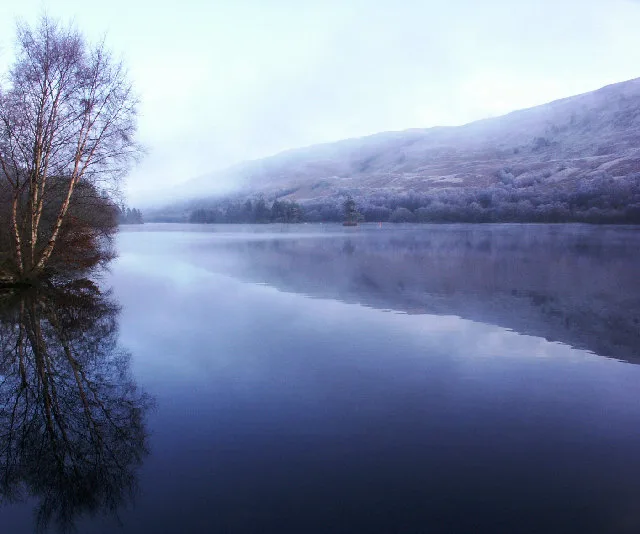
Loch Oich
Natural landmarks · 0.3 km

Leitirfearn Trailblazer Rest
Campsites · 0.5 km

Glengarry Castle Hotel
Hotels · 0.6 km

Eilean Na h-Ealaidh, Crannog
Archaeological sites · 0.6 km

Old Invergarry Bridge
Historic bridges · 0.8 km
Glengarry War Memorial
Memorials & monuments · 0.8 km

Eilean Drynachan, Crannog
Archaeological sites · 0.8 km
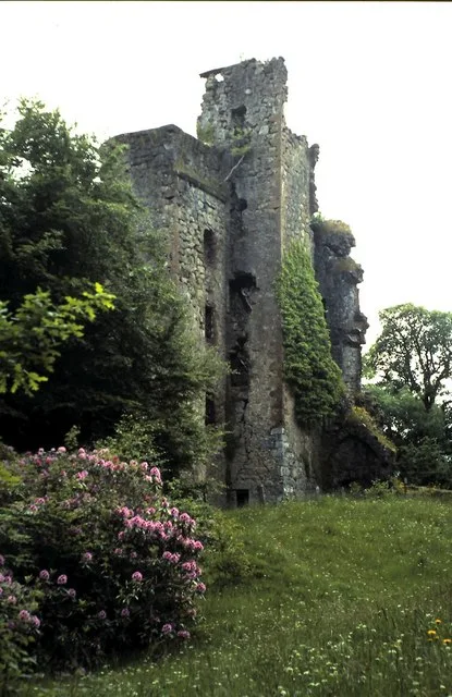
Invergarry Castle
Castles · 1.0 km

Eala Bhàn
Museums · 1.0 km

Great Glen Fault
Natural landmarks · 1.1 km

Monadh Seann-talaimh
Mountains & hills · 1.1 km

St Finnan's Church, Invergarry
Historic churches · 1.3 km
Nearby
Flagship📷 3Natural landmarks · Scottish Highlands
Loch Oich
Loch Oich — lake in Highland, Scotland, UK, on the Caledonian Canal and outflowing north-north-east to River Oich.
📷 5Campsites · Scottish Highlands
Leitirfearn Trailblazer Rest
Leitirfearn Trailblazer Rest — a campsite in scotland highlands.
📷 5Hotels · Scottish Highlands
Glengarry Castle Hotel
Glengarry Castle Hotel — a hotel in scotland highlands.
📷 3Archaeological sites · Scottish Highlands
Eilean Na h-Ealaidh, Crannog
Eilean Na h-Ealaidh, Crannog — a archaeological in scotland-highlands, United Kingdom.
📷 5Historic bridges · Scottish Highlands
Old Invergarry Bridge
Old Invergarry Bridge — category C listed building-listed bridge in scotland-highlands, United Kingdom.
📷 3Memorials & monuments · Scottish Highlands
Glengarry War Memorial
Glengarry War Memorial — a memorial in scotland-highlands, United Kingdom.
Where to eat & stay near River Garry
Places to stay
📷 5Campsites · Scottish Highlands
Leitirfearn Trailblazer Rest
Leitirfearn Trailblazer Rest — a campsite in scotland highlands.
📷 5Hotels · Scottish Highlands
Glengarry Castle Hotel
Glengarry Castle Hotel — a hotel in scotland highlands.
 📷 7
📷 7Hotels · Scottish Highlands
Invergarry Hotel
Invergarry Hotel — a hotel in scotland highlands.
 📷 5
📷 5Hostels · Scottish Highlands
Saddle Mountain Hostel
Saddle Mountain Hostel — a hostel in scotland highlands.
 📷 5
📷 5Campsites · Scottish Highlands
Faichemard Farm Caravan & Camping
Faichemard Farm Caravan & Camping — a campsite in scotland highlands.
 📷 5
📷 5Hostels · Scottish Highlands
Great Glen Hostel
Great Glen Hostel — a hostel in scotland highlands.
Places to eat & drink
 📷 5
📷 5Historic pubs · Scottish Highlands
The Lovat Hotel
The Lovat Hotel in Scotland Highlands, United Kingdom.
More places in this region
 Flagship📷 3
Reservoirs & lochs · Scottish Highlands
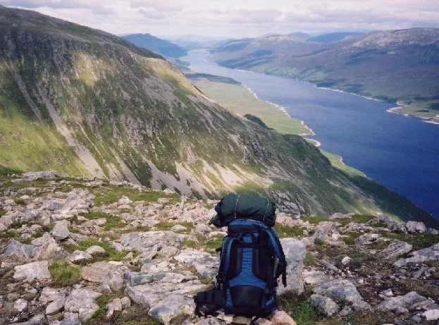
Loch Ericht
Loch Ericht — lake in Perth and Kinross, and Highland, Scotland, UK, outflows to River Ericht.
 Flagship📷 3
Reservoirs & lochs · Scottish Highlands
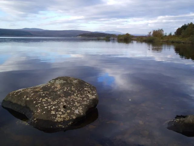
Loch Shin
Loch Shin — reservoir in Highland, Scotland, UK, outflows to the River Shin.
 📷 4
📷 4Reservoirs & lochs · Scottish Highlands
Backwater Reservoir
Backwater Reservoir — lake in Angus, Scotland, UK.
 📷 3
📷 3Reservoirs & lochs · Scottish Highlands
Blackwater Reservoir
Blackwater Reservoir — reservoir in Highland, Scotland, UK, outflows to the River Leven.
Frequently asked questions
- Where is River Garry?
- River Garry is in the Scottish Highlands, United Kingdom (postcode PH35 4HW).
- What is River Garry?
- River Garry in Scotland Islands, United Kingdom.
- How do I get to River Garry?
- Drivers can use postcode PH35 4HW.
- Is River Garry free to visit?
- Yes, River Garry is free to enter.
- How do I get to River Garry?
- Drivers can navigate to postcode PH35 4HW. It sits within the Inverness, Skye and West Ross-shire parliamentary constituency.