
Natural landmarks · North East England
River Font
In or near Mitford.
River Font in England North East, United Kingdom.

Peter Moore — CC BY-SA 2.0 via Wikimedia Commons licence

Plan your visit
- Typical visit
- 1 h–2 h
- Nearest railway station
- Morpeth · 2.2 km
- Dog-friendly
About
River Font is a place of interest in England North East, United Kingdom — drawn from open-data sources for visitor reference. See the linked Wikipedia article for the full description.
Photo gallery
Protected designations
- Site of Special Scientific Interest: Northumberland Shore SSSI
Designations sourced from Natural England open data under OGL v3.
From the Wikipedia article
The River Font is a river that flows through Northumberland, England. The river is a tributary of the River Wansbeck which it joins at Mitford.
Excerpt from Wikipedia under CC BY-SA 4.0. See the source article linked in Sources below.
- Coordinates
- 55.1667, -1.7167
- District
- Northumberland
- Parish
- Mitford
- Postcode
- NE61 3PJ
- Parliamentary constituency
- Hexham
- Nearest railway station
- Morpeth — 2.2 km
Sources
- wikidata: Q15272684 (CC0)
- wikipedia: River Font (CC BY-SA 4.0)
Other places nearby
Highford Bridge
Historic bridges · 0.1 km

Mitford
Towns & cities · 0.6 km
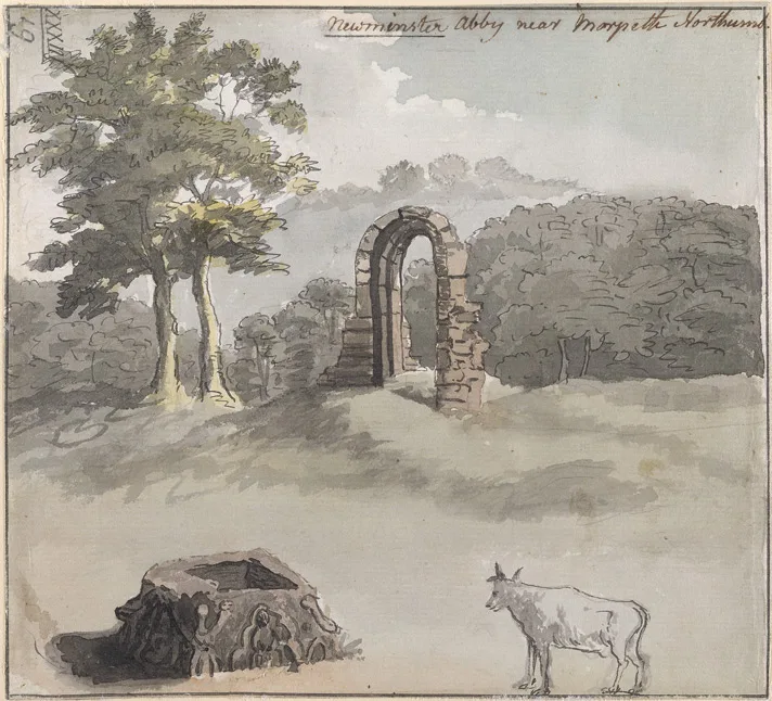
Newminster Abbey
Abbeys & priories · 0.8 km

Newminster Abbey
Cathedrals · 0.8 km

Lowford Bridge
Historic bridges · 0.9 km
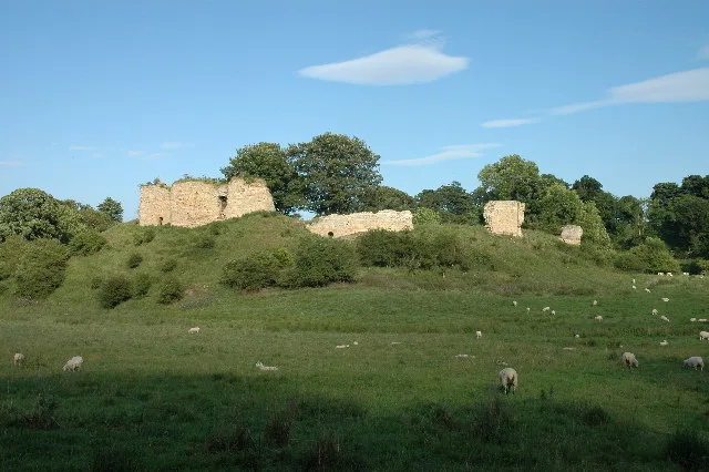
Mitford Castle
Castles · 1.2 km
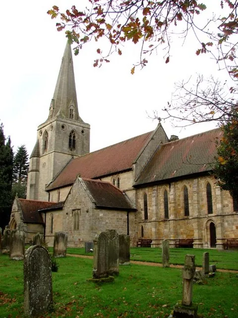
Church of St Mary Magdalene
Historic churches · 1.3 km

Morpeth Town A.F.C.
Parks · 1.3 km
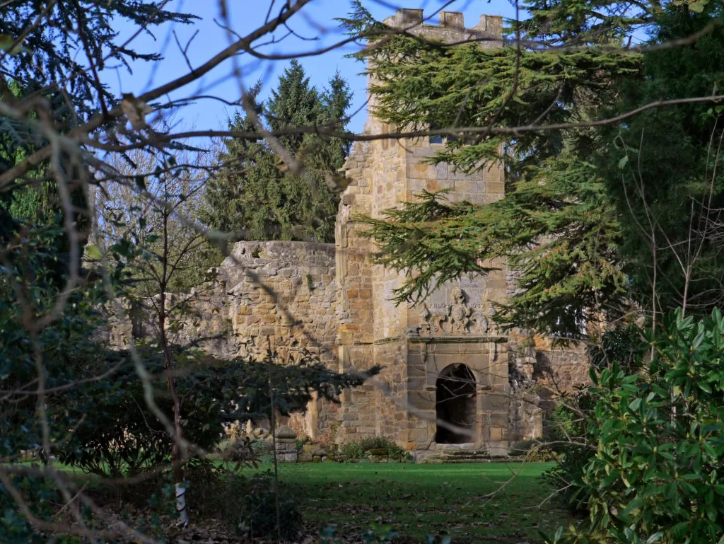
Mitford Old Manor House
Stately homes · 1.4 km

Bullers Green
Other places · 1.4 km

Collingwood House
Historic houses · 1.5 km

Roman Catholic Church of St Robert
Cathedrals · 1.5 km
Nearby
📷 3Historic bridges · North East England
Highford Bridge
Highford Bridge — Grade II listed building-listed bridge in scotland-lowlands, United Kingdom.
📷 5Towns & cities · North East England
Mitford
Mitford in England North East, United Kingdom.
★ Iconic📷 3Abbeys & priories · North East England
Newminster Abbey
Newminster Abbey — abbey in Morpeth, Northumberland, England, UK.
📷 4Cathedrals · North East England
Newminster Abbey
Newminster Abbey is a cathedral in the United Kingdom.
📷 3Historic bridges · North East England
Lowford Bridge
Lowford Bridge — Grade II listed building-listed bridge in scotland-lowlands, United Kingdom.
📷 3Castles · North East England
Mitford Castle
Mitford Castle — Grade I listed castle in Mitford, Northumberland, England, UK.
Where to eat & stay near River Font
Places to stay
 📷 5
Campsites · North East England
Tranwell Farm Camp Site
Tranwell Farm Camp Site — a campsite in scotland lowlands.
 📷 5
Campsites · North East England
Selby Woods Scout Campsite
Selby Woods Scout Campsite — a campsite in scotland lowlands.
 📷 5
 📷 5
Caravan parks · North East England
Felmoor Park
Felmoor Park — a caravan park in scotland lowlands.
 📷 5
Caravan parks · North East England
Bockenfield Country Holiday Park
Bockenfield Country Holiday Park — a caravan park in scotland lowlands.
 📷 5
Caravan parks · North East England
Ellington Caravan Park
Ellington Caravan Park — a caravan park in scotland lowlands.
Places to eat & drink
 📷 5
 📷 5
Historic pubs · North East England
The Seven Stars Public House
The Seven Stars Public House in Scotland Lowlands, United Kingdom.
 📷 5
Historic pubs · North East England
The Anglers Arms
The Anglers Arms in Scotland Lowlands, United Kingdom.
 📷 5
Historic pubs · North East England
Northumberland Arms
Northumberland Arms in Scotland Lowlands, United Kingdom.
 📷 5
Historic pubs · North East England
Border Minstrel
Border Minstrel in Scotland Lowlands, United Kingdom.
 📷 3
Historic pubs · North East England
Red House Farm
Red House Farm in England North East, United Kingdom.
More natural landmarks in this region
 📷 4
Natural landmarks · North East England
Cleveland Way
109-mile horseshoe trail around the North York Moors and its sea cliffs.
 📷 3
Natural landmarks · North East England
The Hand Stone
The Hand Stone — a place in North East England, United Kingdom.
 📷 3
Natural landmarks · North East England
The Face Stone
The Face Stone — a place in North East England, United Kingdom.
 📷 3
Frequently asked questions
- Where is River Font?
- River Font is in North-East England, United Kingdom (postcode NE61 3PJ), in the parish of Mitford.
- What is River Font?
- River Font in England North East, United Kingdom.
- How do I get to River Font?
- The nearest railway station is Morpeth, about 2.2 km away. The nearest town is Mitford. Drivers can use postcode NE61 3PJ.
- Is River Font a protected site?
- Yes — River Font is part of the Northumberland Shore SSSI Site of Special Scientific Interest.
- How do I get to River Font?
- The nearest railway station is Morpeth, about 2.2 km away. Drivers can navigate to postcode NE61 3PJ.