Wildlife reserves · North East England
River Coquet
In or near Rochester.
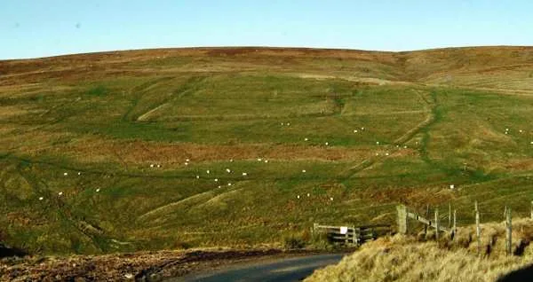
River Coquet in England North East, United Kingdom.

Oliver Dixon — CC BY-SA 2.0 via Wikimedia Commons licence
Plan your visit
- Typical visit
- 2 h–4 h
- Best time of year
- Autumn & winter (migration & wildfowl)
- Free entry
- Dog-friendly
About
River Coquet is a place of interest in England North East, United Kingdom — drawn from open-data sources for visitor reference. See the linked Wikipedia article for the full description.
Photo gallery
From the Wikipedia article
The River Coquet runs through the county of Northumberland, England, discharging into the North Sea on the east coast at Amble. It rises in the Cheviot Hills on the border between England and Scotland, and follows a winding course across the landscape ("Coquetdale"). The upper reaches are bordered by the Otterburn Ranges military training ground, and are crossed by a number of bridges built in the 20th century. It passes a number of small villages and hamlets, and feeds one of the lakes created by extraction of gravel that form the Caistron Nature Reserve, before reaching the town of Rothbury, where it is crossed by a grade II listed bridge. Below the town is Thrum Mill, a Grade II-listed water mill. It loops around Brinkburn Priory, founded in the 1130s for Augustinian Canons, and its associated mill. At Felton it is crossed by two bridges, one dating from the 15th century, and its replacement, built in 1927, both of which are listed structures. Below the bridges is a sewage treatment works, built in the 1990s. At Brainshaugh, the river passes over a large horseshoe dam, built in 1775 by the engineer John Smeaton to power an iron and tin works, which later became a woollen mill, and subsequently one of the first factories to be powered by hydroelectricity. Before it reaches Warkworth, the river passes over another dam, which is now part of the intake works for Warkworth Water Treatment Works, which supplies drinking water to some 92,000 customers in the region. Below the dam the river is tidal, and Warkworth Castle is built in a loop of the Coquet. The river reaches the sea at Warkworth Harbour in Amble, where there is a Royal National Lifeboat Institution lifeboat station. The river has been used as a source of power, as a number of mills have been constructed along its length. One of the earliest was on Hepden Burn, a tributary in the upper reaches, which was mentioned in the early 13th century, but was not subsequently developed, due to unrest in the area.…
Excerpt from Wikipedia under CC BY-SA 4.0. See the source article linked in Sources below.
Background
History
The earliest known reference to the River Coquet is found in the 8th century Ravenna Cosmography, where it is known as Coccuueda. Bede referred to Cocuedi fluminis. This can be roughly translated to 'Red River', perhaps reflecting the red porphyritic pebbles found here in large numbers. Alternatively, a recent emerging theory proposes the river took its name in the Anglo-Saxon period after an area of land between the Coquet and river Wansbeck called the "Cocwudu" meaning "cock wood", with the river therefore taking its name via a process of back-formation. The area provides the background to William Gibson's poem The Sailor or the Coquet Cottage. This and other poems, some in the Scottish…
Sourced from Wikipedia under CC BY-SA 4.0.
- Coordinates
- 55.3680, -2.3480
Sources
- wikidata: Q7337301 (CC0)
- wikipedia: River Coquet (CC BY-SA 4.0)
Other places nearby
Chew Green
Hill forts · 0.8 km
Chew Green Roman fort et al
Archaeological sites · 0.9 km

Brownhart Law
Mountains & hills · 1.3 km

Thomas Elliot Elliot Memorial
Memorials & monuments · 1.3 km

Grindstone Law
Mountains & hills · 1.5 km

Brownhart Law Roman Fortlet
Archaeological sites · 1.7 km

Thirl Moor
Mountains & hills · 2.6 km
Thirl Moor
Mountains & hills · 2.6 km

Otterburn Training Area
Other places · 2.7 km

Cottonshope Head Quarry
National parks · 3.3 km

Loddan Hill
Mountains & hills · 3.7 km

Loddan Hill, Hillfort
Hill forts · 3.7 km
Nearby
📷 5📷 3Archaeological sites · North East England
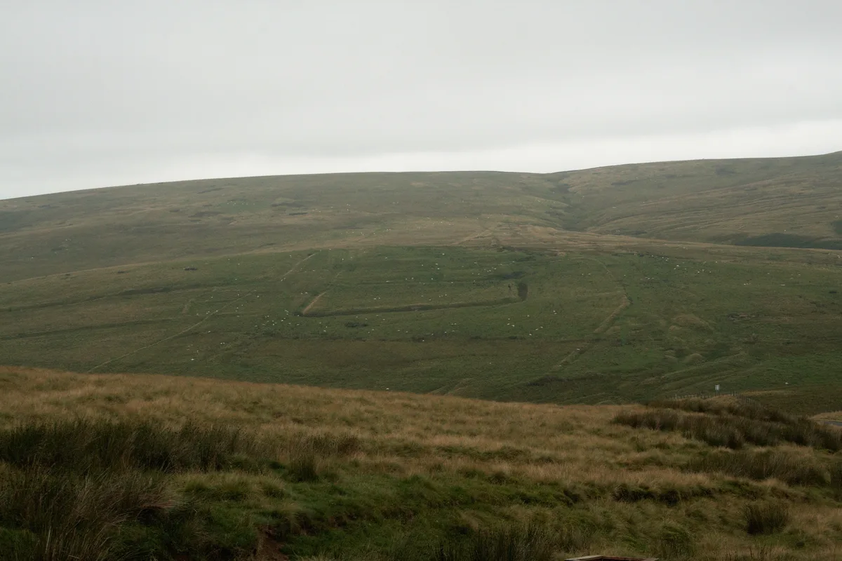
Chew Green Roman fort et al
Chew Green Roman fort et al — Roman fort, two Roman fortlets, two Roman camps, a section of Roman road and a medieval settlement & chapel at Chew Green.
📷 5Mountains & hills · North East England
Brownhart Law
Brownhart Law — a hill or mountain in scotland lowlands.
📷 3Memorials & monuments · North East England
Thomas Elliot Elliot Memorial
Thomas Elliot Elliot Memorial — a memorial in scotland-lowlands, United Kingdom.
📷 5Mountains & hills · North East England
Grindstone Law
Grindstone Law — mountain in scotland lowlands. Elevation: 469 m.
📷 3Archaeological sites · North East England
Brownhart Law Roman Fortlet
Brownhart Law Roman Fortlet — a archaeological in scotland-lowlands, United Kingdom.
Where to eat & stay near River Coquet
Places to stay
 📷 5
📷 5Caravan parks · North East England
Border Forest Caravan Park
Border Forest Caravan Park — a caravan park in scotland lowlands.
 📷 5
📷 5Caravan parks · North East England
Jedwater Caravan Park
Jedwater Caravan Park — a caravan park in scotland lowlands.
 📷 5
📷 5Campsites · North East England
Firing Point - Farm
Firing Point - Farm — a campsite in scotland lowlands.
 📷 7
📷 7 📷 7
📷 7B&Bs · Scottish Lowlands
Allerton House
Allerton House — a bed-and-breakfast in scotland lowlands.
 📷 5
📷 5Hostels · North East England
Mounthooly Bunk House
Mounthooly Bunk House — a hostel in scotland lowlands.
Places to eat & drink
 📷 5
📷 5Historic pubs · North East England
The Redesdale Arms
The Redesdale Arms in Scotland Lowlands, United Kingdom.
 📷 7
📷 7More places in this region
 📷 3
📷 3Wildlife reserves · North East England
Augill Pasture
Augill Pasture — nature reserve in Cumbria, England.
 📷 4
📷 4Wildlife reserves · North East England
Ash Fell Edge
Ash Fell Edge in England North East, United Kingdom.
 📷 4
📷 4Wildlife reserves · North East England
Sunbiggin Tarn
Sunbiggin Tarn in England North East, United Kingdom.
 📷 3
📷 3Wildlife reserves · North East England
Aules Hill Meadows
Aules Hill Meadows in England North East, United Kingdom.
Frequently asked questions
- Where is River Coquet?
- River Coquet is in North-East England, United Kingdom.
- What is River Coquet?
- River Coquet in England North East, United Kingdom.
- How do I get to River Coquet?
- Its coordinates are 55.3680°, -2.3480°.
- Is River Coquet free to visit?
- Yes, River Coquet is free to enter.
- Are dogs allowed at River Coquet?
- Most wildlife reserves allow dogs on lead only, with restrictions during ground-nesting bird season (March-July). Check signage at the reserve.