
Other places · North East England
Otterburn Training Area
In or near Rochester.
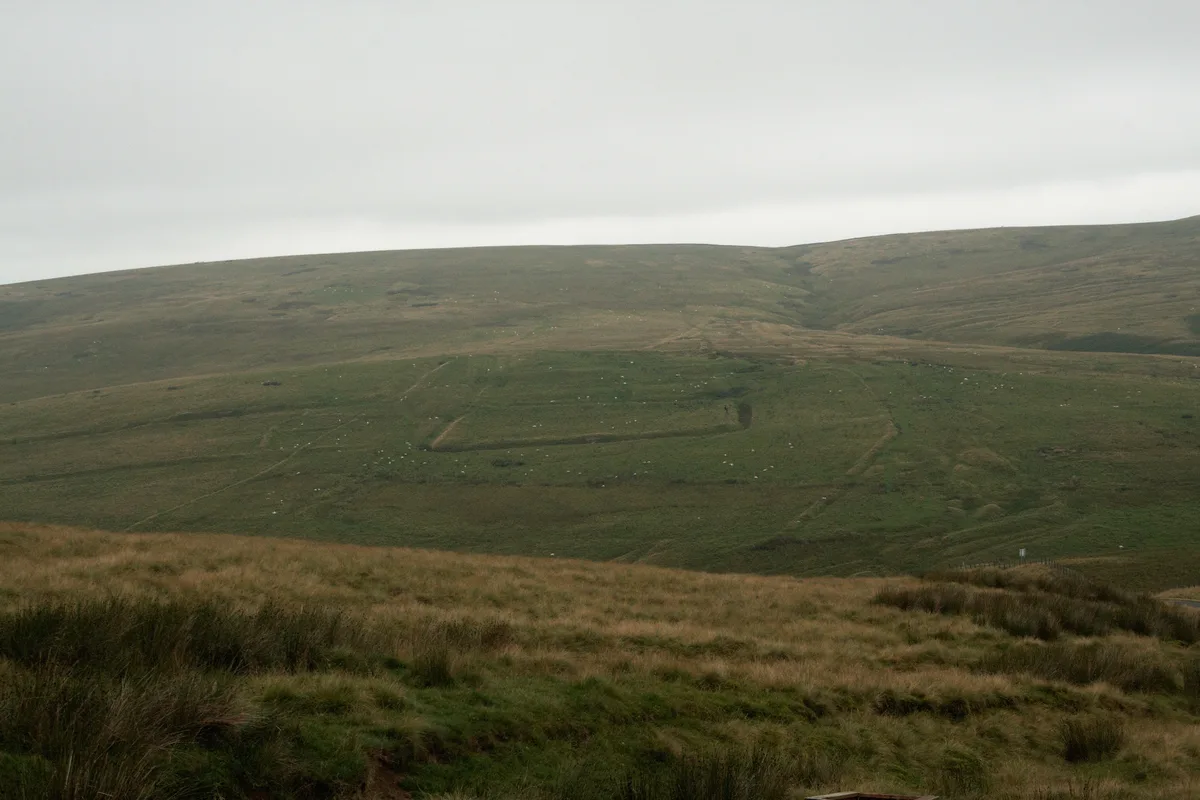
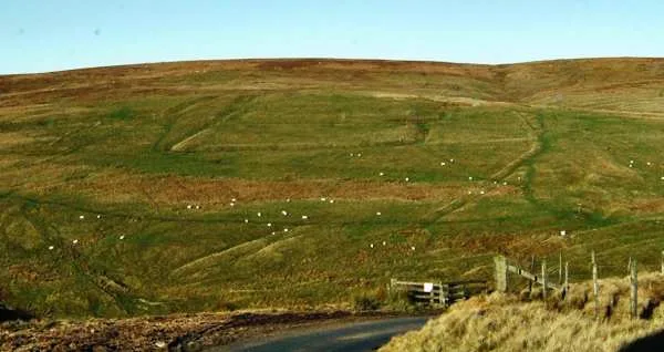
Otterburn Training Area in England North East, United Kingdom.

Graeme Paterson — CC BY-SA 2.0 via Wikimedia Commons licence

Plan your visit
- Typical visit
- 1 h–2 h
About
Otterburn Training Area is a place of interest in England North East, United Kingdom — drawn from open-data sources for visitor reference. See the linked Wikipedia article for the full description.
Photo gallery
Protected designations
- Site of Special Scientific Interest: River Coquet and Coquet Valley Woodlands SSSI
Designations sourced from Natural England open data under OGL v3.
From the Wikipedia article
The Otterburn Army Training Estate is a military training area near Otterburn, Northumberland, in northern England. It is owned by the Ministry of Defence (MoD) and operated by Landmarc on contract from the MoD's Defence Infrastructure Organisation.
Excerpt from Wikipedia under CC BY-SA 4.0. See the source article linked in Sources below.
Background
History
The site was established in 1911 and covers about 242 km2 of the southern Cheviot Hills, 23% of the Northumberland National Park. The National Park was established in 1956, 45 years after establishment of the Artillery Range. Otterburn is the UK's largest firing range, and is in frequent use. The ranges are used by AS-90 artillery and M270 Multiple Launch Rocket Systems; Otterburn is the only place in the UK where the MLRS can be fired, requiring an 11 mile long by 2 mile wide firing range. Because of the danger posed by live fire exercises, recreational use of the area is restricted, although it is possible for the public to use some parts of the estate subject to the relevant bylaws. The…
Sourced from Wikipedia under CC BY-SA 4.0.
- Coordinates
- 55.3694, -2.3056
- Address
- Otterburn
- Established
- 1911
Sources
- wikidata: Q7109435 (CC0)
- wikipedia: Otterburn Training Area (CC BY-SA 4.0)
Other places nearby

Thirl Moor
Mountains & hills · 0.1 km
Thirl Moor
Mountains & hills · 0.1 km
Chew Green Roman fort et al
Archaeological sites · 1.9 km
Chew Green
Hill forts · 2.0 km

Brownhart Law Roman Fortlet
Archaeological sites · 2.1 km

Brownhart Law
Mountains & hills · 2.2 km

Thomas Elliot Elliot Memorial
Memorials & monuments · 2.2 km

Cottonshope Head Quarry
National parks · 2.7 km

River Coquet
Wildlife reserves · 2.7 km

Roman Camp
Archaeological sites · 2.8 km

Featherwood Roman Camps
Memorials & monuments · 2.9 km

Fulhope Edge
Mountains & hills · 2.9 km
Nearby
📷 5Mountains & hills · North East England
Thirl Moor
Thirl Moor — mountain in scotland lowlands. Elevation: 558 m.
📷 5Mountains & hills · North East England
Thirl Moor
Thirl Moor — a hill or mountain in scotland lowlands.
📷 3Archaeological sites · North East England
Chew Green Roman fort et al
Chew Green Roman fort et al — Roman fort, two Roman fortlets, two Roman camps, a section of Roman road and a medieval settlement & chapel at Chew Green.
📷 5📷 3Archaeological sites · North East England
Brownhart Law Roman Fortlet
Brownhart Law Roman Fortlet — a archaeological in scotland-lowlands, United Kingdom.
📷 5Mountains & hills · North East England
Brownhart Law
Brownhart Law — a hill or mountain in scotland lowlands.
Where to eat & stay near Otterburn Training Area
Places to stay
 📷 5
📷 5Caravan parks · North East England
Border Forest Caravan Park
Border Forest Caravan Park — a caravan park in scotland lowlands.
 📷 5
📷 5Campsites · North East England
Firing Point - Farm
Firing Point - Farm — a campsite in scotland lowlands.
 📷 5
📷 5Hostels · North East England
Mounthooly Bunk House
Mounthooly Bunk House — a hostel in scotland lowlands.
 📷 5
📷 5Caravan parks · North East England
Jedwater Caravan Park
Jedwater Caravan Park — a caravan park in scotland lowlands.
 📷 7
📷 7 📷 5
📷 5Hotels · North East England
William de Percy
William de Percy — a hotel in scotland lowlands.
Places to eat & drink
 📷 5
📷 5Historic pubs · North East England
The Redesdale Arms
The Redesdale Arms in Scotland Lowlands, United Kingdom.
 📷 7
📷 7More places in this region
 📷 5
📷 5Other places · North East England
Appleby Horse Fair
The Appleby Horse Fair, previously known as Appleby New Fair, is an annual gathering of Romani people (Gypsies) and Travellers in Appleby-in-Westmorland in Cumbria, England. The horse fair is held eac
 📷 5
📷 5Other places · North East England
Crosby Garrett
Crosby Garrett in England North East, United Kingdom.
 📷 5
📷 5Other places · North East England
Ravenstonedale
Ravenstonedale in England North East, United Kingdom.
 📷 5
📷 5Frequently asked questions
- Where is Otterburn Training Area?
- Otterburn Training Area is in North-East England, United Kingdom.
- What is Otterburn Training Area?
- Otterburn Training Area in England North East, United Kingdom.
- How do I get to Otterburn Training Area?
- Its coordinates are 55.3694°, -2.3056°.
- When was Otterburn Training Area built?
- Built or established in 1911.
- Who owns Otterburn Training Area?
- Otterburn Training Area is owned by {{army|United Kingdom}}.
- Is Otterburn Training Area a protected site?
- Yes — Otterburn Training Area is part of the River Coquet and Coquet Valley Woodlands SSSI Site of Special Scientific Interest.