
Museums · North West England
River Calder, Lancashire
In or near Whalley.
The River Calder is a major tributary of the River Ribble in Lancashire, England, and is around 20 miles (32 km) in length.

Peter Bond — CC BY-SA 2.0 via Wikimedia Commons licence

Plan your visit
- Typical visit
- 1.5 h–3 h
- Best time of year
- Year-round
- Nearest railway station
- Whalley · 1.9 km
- Family-friendly
- Limited wheelchair access
About
The River Calder is a major tributary of the River Ribble in Lancashire, England, and is around 20 miles (32 km) in length.
Photo gallery
Official information
The River Calder in Lancashire is notable for its geological significance, particularly in relation to the Burnley coal-field. Visitors can explore the surrounding areas, which include notable geological features and historical coal mining sites.
Protected designations
- Area of Outstanding Natural Beauty: Forest Of Bowland
Designations sourced from Natural England open data under OGL v3.
From the Wikipedia article
The River Calder is a major tributary of the River Ribble in Lancashire, England, and is around 20 miles (32 km) in length.
Excerpt from Wikipedia under CC BY-SA 4.0. See the source article linked in Sources below.
Background
History
The name Calder is relatively common and thought to originate from the ancient British language, the first part may be the ancestor of the Welsh word (hard), with the second being *dubron (water), giving a possible meaning of the rapid river. There is some uncertainty that the name has always been applied to the current route in the Burnley area, as at the confluence with Pendle Water it is the Calder that is the smaller watercourse. And in Yates' 1786 map of Lancashire it is the lower section of Pendle Water that is labelled as the Calder. However both William Harrison's Description of England, first published in 1577, and Camden's Britannia both appear to support the route as it is named…
Sourced from Wikipedia under CC BY-SA 4.0.
- Coordinates
- 53.8297, -2.4400
- County
- Lancashire
- District
- Ribble Valley
- Parish
- Billington and Langho
- Postcode
- BB6 8BB
- Parliamentary constituency
- Ribble Valley
- Nearest railway station
- Whalley — 1.9 km
- Official site
- archive.org
Sources
- wikipedia: River Calder, Lancashire (CC BY-SA 4.0)
Other places nearby

Hacking Hall
Historic houses · 0.3 km

Calderstones Bell
Memorials & monuments · 1.3 km

Hobbit Hill
Campsites · 1.4 km

River Hodder
Museums · 1.6 km
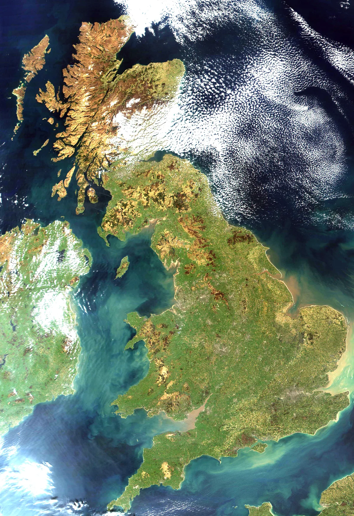
Great Britain
Islands · 1.6 km

Brockhall Hospital Cemetery
Cemeteries · 1.6 km
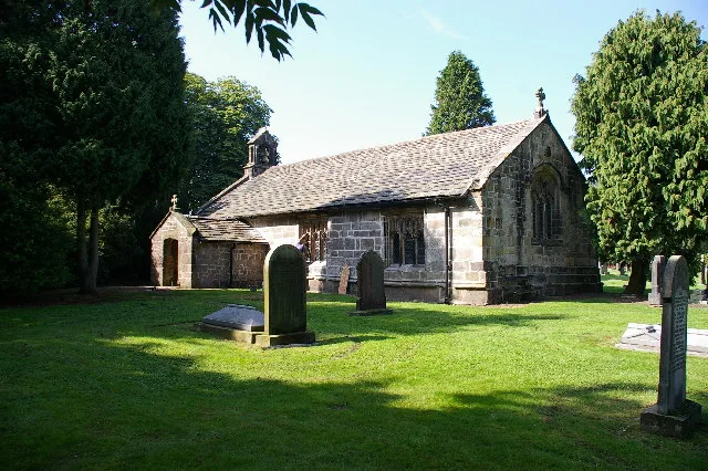
Old St Leonard's Church, Langho
Historic churches · 1.6 km

Mitton Bridge
Historic bridges · 1.6 km

Great Mitton
Villages · 1.9 km
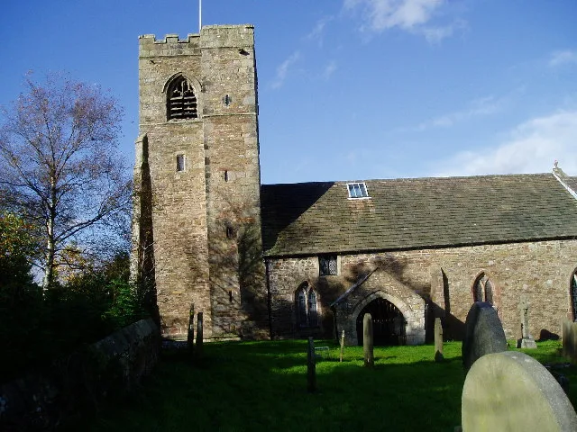
All Hallows Church, Great Mitton
Historic churches · 1.9 km

The Three Fishes
Restaurants · 1.9 km

Cromwell's Bridge
Historic bridges · 2.1 km
Nearby
📷 3Historic houses · North West England
Hacking Hall
Hacking Hall — Grade I listed building in Billington and Langho, Ribble Valley, Lancashire, England, UK.
📷 3Memorials & monuments · North West England
Calderstones Bell
Calderstones Bell — a memorial in england-north-west, United Kingdom.
📷 5📷 5Museums · North West England
River Hodder
The River Hodder is in Lancashire, England. It is a County Biological Heritage Site. It rises on White Hill and flows for approximately 23 miles to the River Ribble, of which it is the largest tributa
Flagship📷 3Islands · North West England
Great Britain
Great Britain — island in the North Atlantic Ocean off the northwest coast of continental Europe.
📷 3Cemeteries · North West England
Brockhall Hospital Cemetery
Brockhall Hospital Cemetery is a cemetery in the United Kingdom.
Where to eat & stay near River Calder, Lancashire
Places to stay
📷 5 📷 5
📷 5 📷 5
📷 5Campsites · North West England
Wigwam Holidays Ribble Valley
Wigwam Holidays Ribble Valley — a campsite in england north west.
 📷 5
📷 5Campsites · North West England
Wiswell Shay Farm CC Site
Wiswell Shay Farm CC Site — a campsite in england north west.
 📷 5
📷 5Campsites · North West England
Bowley International Scout Centre
Bowley International Scout Centre — a campsite in england north west.
 📷 5
📷 5Caravan parks · North West England
Clitheroe Camping and Caravanning Club Site
Clitheroe Camping and Caravanning Club Site — a caravan park in england north west.
Places to eat & drink
📷 5Restaurants · North West England
The Three Fishes
The Three Fishes — a restaurant in england north west.
 📷 5
📷 5Historic pubs · North West England
Swan with Two Necks
Swan with Two Necks in England North West, United Kingdom.
 📷 5
📷 5 📷 5
📷 5 📷 5
📷 5Restaurants · North West England
The Inn at Whitewell
The Inn at Whitewell — a restaurant in england north west.
 📷 5
📷 5More museums in this region
 📷 3
📷 3Museums · North West England
Cube Gallery
Cube Gallery — former architecture museum in Manchester, England.
 📷 3
📷 3Museums · North West England
Cuckooland Museum
Cuckooland Museum — horological museum in England, UK.
 📷 4
📷 4Museums · North West England
Elizabeth Gaskell's House
Elizabeth Gaskell's House — museum in Manchester.
 📷 3
📷 3Museums · North West England
Englesea Brook Chapel and Museum of Primitive Methodism
Englesea Brook Chapel and Museum of Primitive Methodism — Primitive Methodist chapel and museum, United Kingdom.
Frequently asked questions
- Where is River Calder, Lancashire?
- River Calder, Lancashire is in Lancashire, North-West England, United Kingdom (postcode BB6 8BB), in the parish of Billington and Langho.
- What is River Calder, Lancashire?
- The River Calder is a major tributary of the River Ribble in Lancashire, England, and is around 20 miles (32 km) in length.
- How do I get to River Calder, Lancashire?
- The nearest railway station is Whalley, about 1.9 km away. Drivers can use postcode BB6 8BB.
- Is River Calder, Lancashire a protected site?
- Yes — River Calder, Lancashire is part of the Forest Of Bowland National Landscape (AONB).
- How do I get to River Calder, Lancashire?
- The nearest railway station is Whalley, about 1.9 km away. Drivers can navigate to postcode BB6 8BB.