
Natural landmarks · Northern Ireland
Ringfad
In or near Ardglass.
Ringfad in Northern Ireland, United Kingdom.

Wikimedia Commons licence
Plan your visit
- Typical visit
- 1 h–2 h
- Free entry
- Dog-friendly
About
Ringfad is a place of interest in Northern Ireland, United Kingdom — drawn from open-data sources for visitor reference. See the linked Wikipedia article for the full description.
Photo gallery
From the Wikipedia article
Ringfad (from Irish An Rinn Fhada, meaning 'the long point or headland') is a townland of 225.8 acres in County Down, Northern Ireland. It is situated in the civil parish of Ardglass and the historic barony of Lecale Lower. The Irish word rinn denotes a point of land, promontory, or small peninsula, and is commonly found in Irish place names. In County Down, it is frequently anglicised as Ring and may refer to either a coastal point or a promontory. The name refers to the broad peninsula adjoining Ardglass on the south and forming the eastern side of Coney Island Bay. The point of land at the end of the peninsula is known as Ringfad Point. Ringfad forms a broad peninsula adjoining the village of Ardglass to the south. It defines the eastern boundary of Coney Island Bay, with its southernmost tip known as Ringfad Point. The peninsula is notable for its proximity to local landmarks such as Ardglass Golf Club and Killough Bay. Ringfad is situated approximately 1.2 kilometres southeast of Killough, across Killough Bay, which separates the two coastal settlements.
Excerpt from Wikipedia under CC BY-SA 4.0. See the source article linked in Sources below.
Background
History
Ringfad is a townland whose name is historically recorded as Ringfad circa 1659 and, in a corrupted form, as Binfadd in 1662. The name is derived from the Irish An Rinn Fhada, meaning "the long point" or "long headland."
Sourced from Wikipedia under CC BY-SA 4.0.
- Coordinates
- 54.2519, -5.6117
- District
- Newry, Mourne and Down
- Postcode
- BT30 7UE
- Parliamentary constituency
- South Down
Sources
Other places nearby
%2C_May_2009.JPG?width=1200)
Ardglass
Towns & cities · 0.7 km
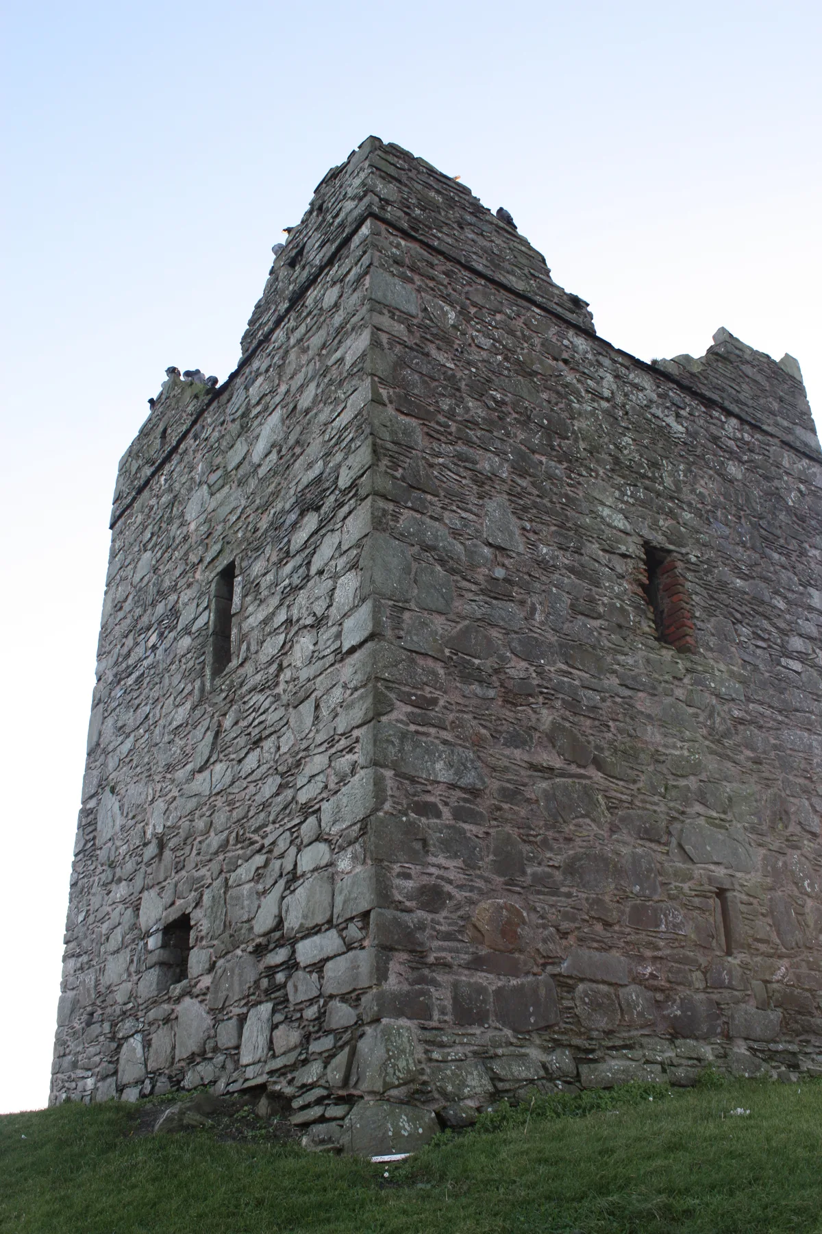
Cowd Castle
Castles · 0.8 km
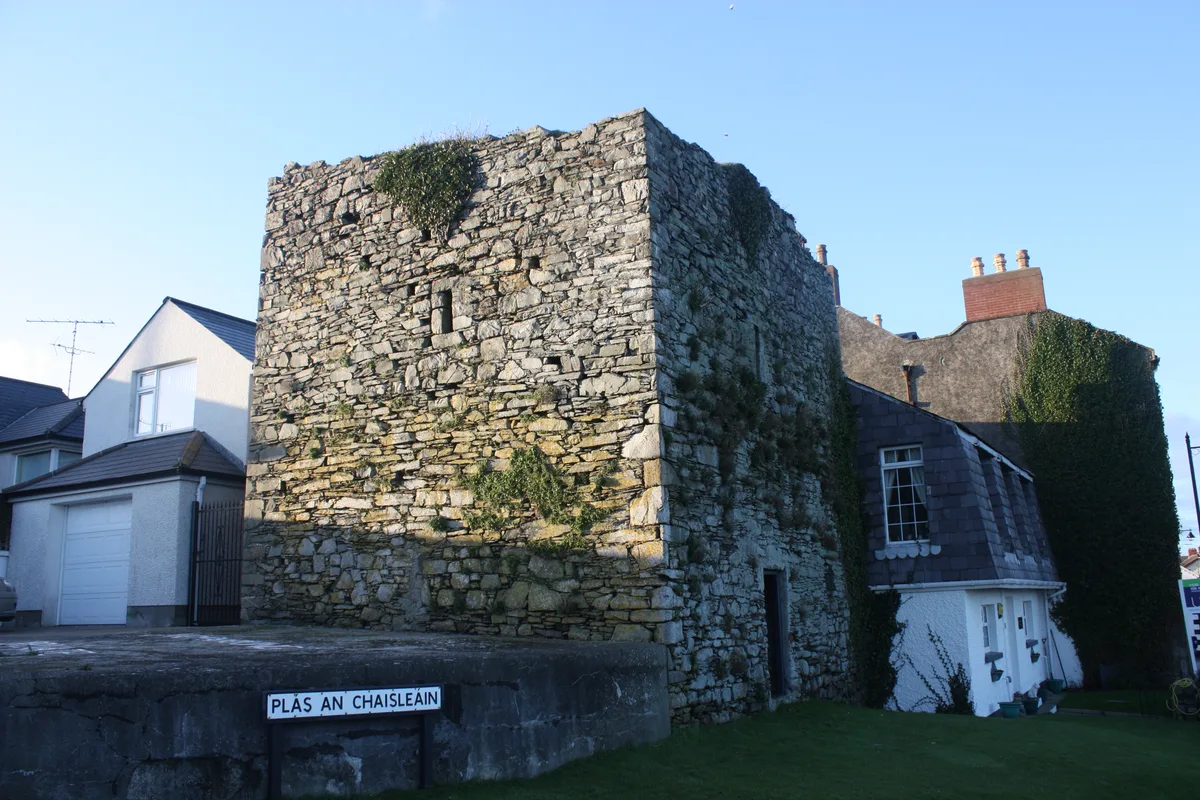
Margaret's Castle
Castles · 0.8 km
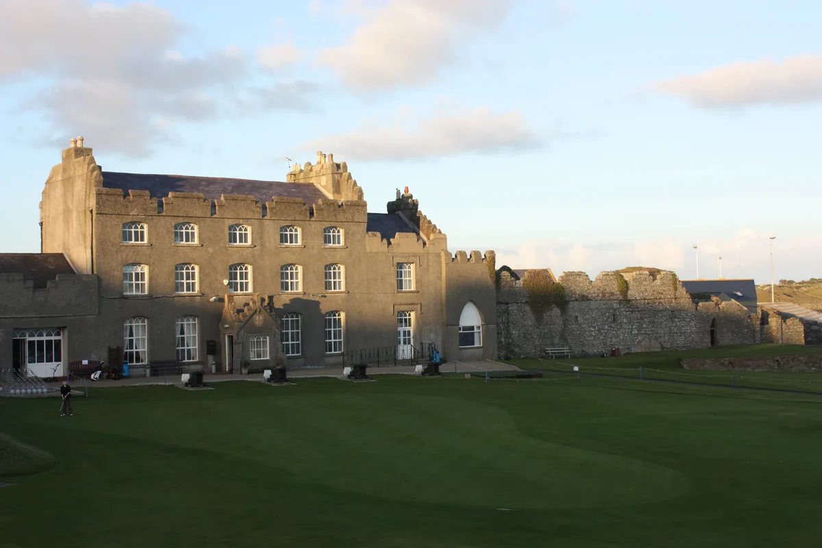
Ardglass Castle
Castles · 0.8 km
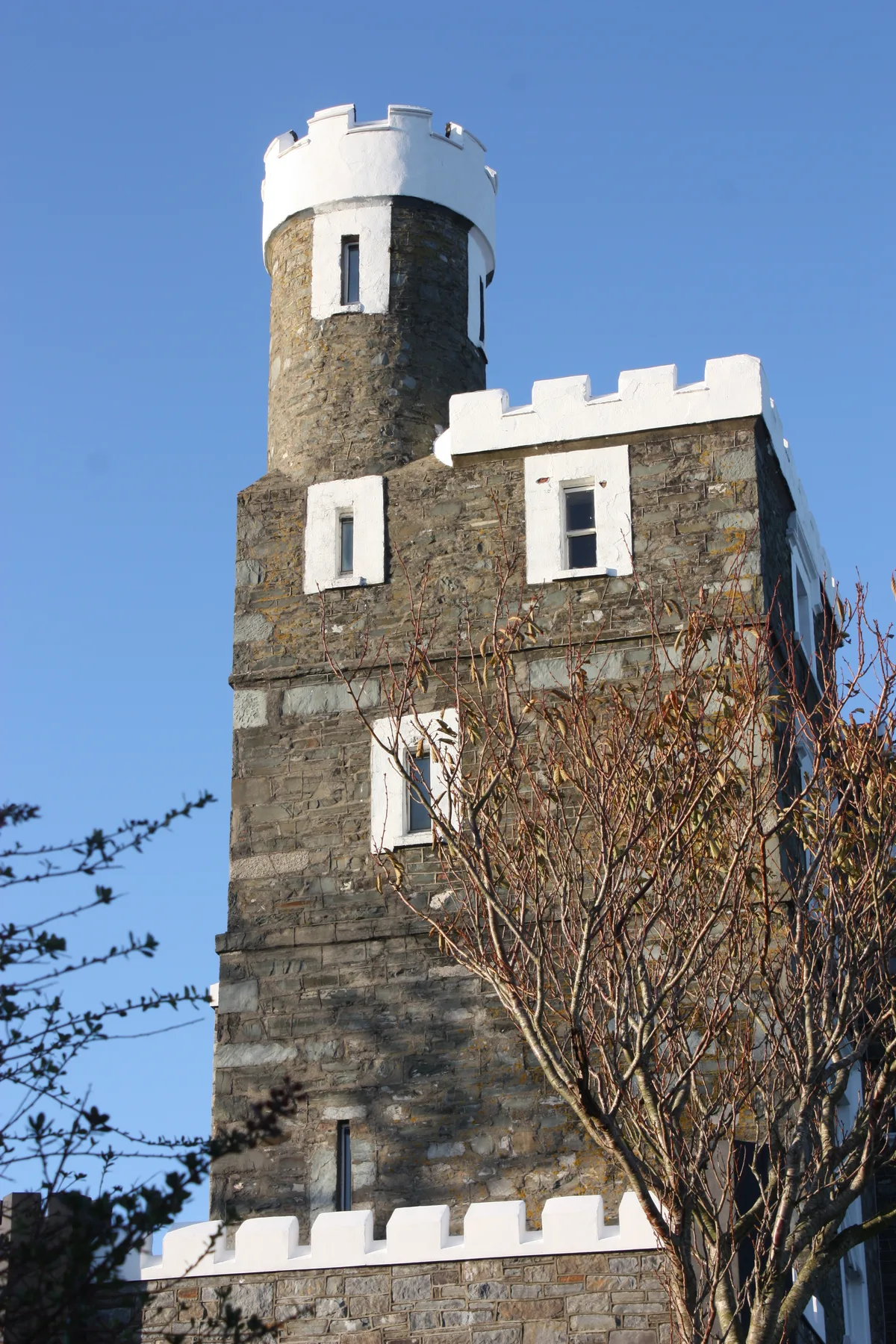
King's Castle
Castles · 0.9 km
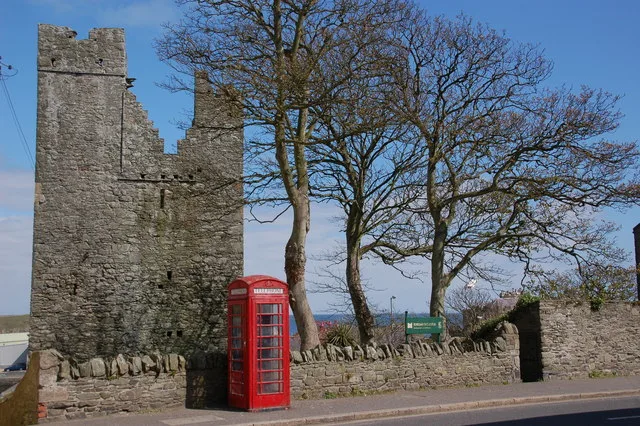
Jordan's Castle
Castles · 0.9 km

Ardglass Marina
Beaches · 1.0 km

Ardglass Marina
Marinas · 1.0 km
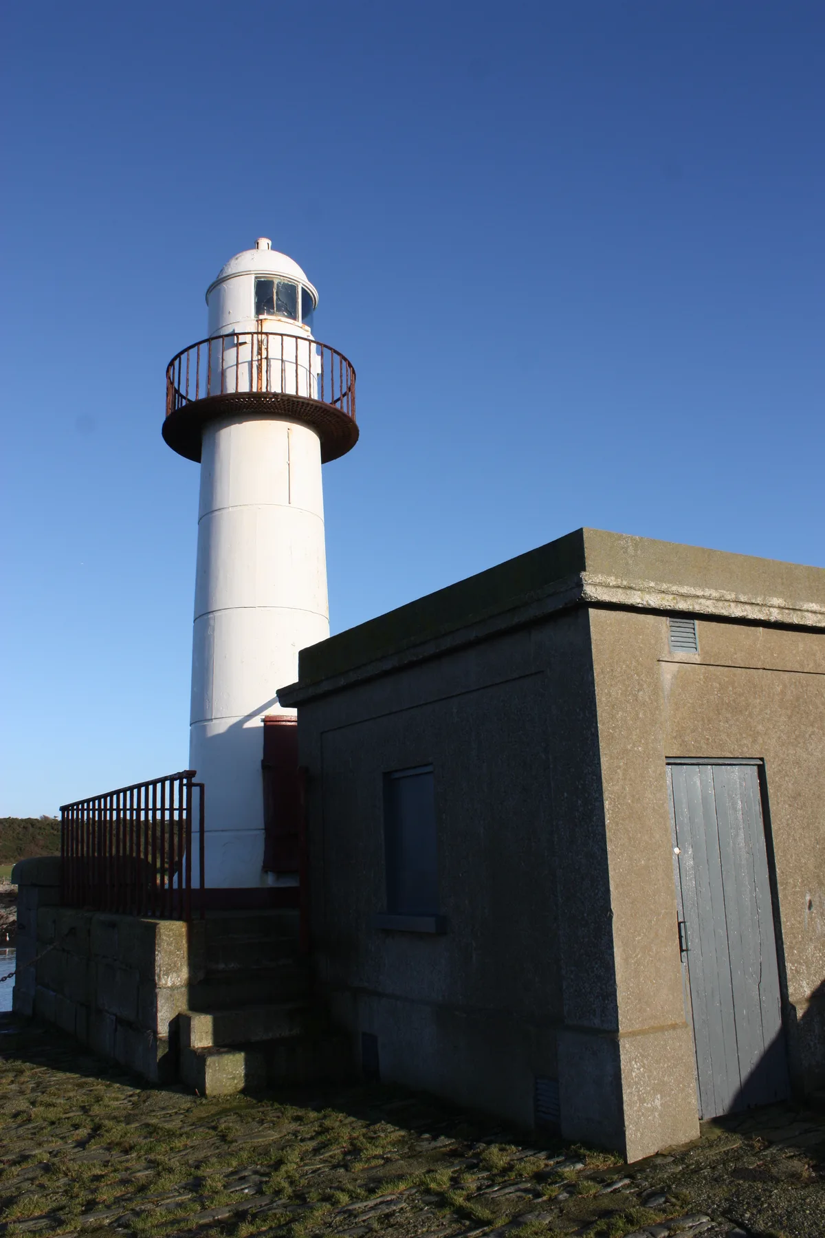
North Dock Light, Ardglass
Lighthouses · 1.2 km

Killough Bay
Natural landmarks · 1.3 km

Ardglass railway station
Natural landmarks · 1.3 km

Tullycarnan
Natural landmarks · 1.3 km
Nearby
📷 5📷 3Castles · Northern Ireland
Cowd Castle
Cowd Castle — ruin of a tower house in Ardglass, County Down, Northern Ireland, UK.
📷 5Castles · Northern Ireland
Margaret's Castle
Margaret's Castle is a castle in the United Kingdom.
📷 5Castles · Northern Ireland
Ardglass Castle
Ardglass Castle — row of 15th century warehouses in Northern Ireland.
📷 5Castles · Northern Ireland
King's Castle
King's Castle — castle in Ardglass, County Down, Northern Ireland.
📷 5Castles · Northern Ireland
Jordan's Castle
Jordan's Castle — state Care historic monument in Northern Ireland.
Where to eat & stay near Ringfad
Places to stay
 📷 5
📷 5Caravan parks · Northern Ireland
Strangford Holiday Park
Strangford Holiday Park — a caravan park in northern ireland.
 📷 5
📷 5Campsites · Northern Ireland
Castle Ward Caravan Park
Castle Ward Caravan Park — a campsite in northern ireland.
 📷 4
📷 4Caravan parks · Northern Ireland
Quoile Yacht Club Caravan Park
Quoile Yacht Club Caravan Park — a caravan park in northern ireland.
 📷 5
📷 5Campsites · Northern Ireland
Delamont Country Park
Delamont Country Park — a campsite in northern ireland.
 📷 5
📷 5Caravan parks · Northern Ireland
Windsor Holiday Park
Windsor Holiday Park — a caravan park in northern ireland.
 📷 5
📷 5Campsites · Northern Ireland
EDYC Caravan and Camping Area
EDYC Caravan and Camping Area — a campsite in northern ireland.
Places to eat & drink
 📷 3
📷 3Historic pubs · Northern Ireland
Soma Festival
The Soma Festival (Sanskrit: सोम, or sóma, meaning drink of the Gods, see Soma (drink); Irish: Féile Soma) is an annual music, arts, and cultural festival. The festival includes concerts, musical perf
More natural landmarks in this region
 Flagship📷 4
Natural landmarks · Northern Ireland
Lough Erne
Lough Erne — lake in County Fermanagh, Northern Ireland, UK.
 Flagship📷 4
Natural landmarks · Northern Ireland
Lough Neagh
Lough Neagh — large lake in Northern Ireland.
 📷 3
📷 3Natural landmarks · Northern Ireland
Ballysaggart Lough
Ballysaggart Lough — lake in the United Kingdom.
 📷 5
📷 5Natural landmarks · Northern Ireland
Belmore Mountain
Belmore Mountain — mountain in the United Kingdom.
Frequently asked questions
- Where is Ringfad?
- Ringfad is in Northern Ireland, United Kingdom (postcode BT30 7UE).
- What is Ringfad?
- Ringfad in Northern Ireland, United Kingdom.
- How do I get to Ringfad?
- Drivers can use postcode BT30 7UE.
- Is Ringfad free to visit?
- Yes, Ringfad is free to enter.
- How do I get to Ringfad?
- Drivers can navigate to postcode BT30 7UE. It sits within the South Down parliamentary constituency.