
Villages · East of England
Rendlesham
In or near Snape.
Rendlesham — a village in england east.

Adrian S Pye — CC BY-SA 2.0 via Wikimedia Commons licence
Plan your visit
- Typical visit
- 1 h–2 h
- Nearest railway station
- Wickham Market · 2.9 km
About
A British village — settlements of this size traditionally cluster a green, parish church, pub and post office around historic land routes.
Photo gallery
Protected designations
- Site of Special Scientific Interest: Sandlings Forest SSSI
- Area of Outstanding Natural Beauty: Suffolk Coast & Heaths
Designations sourced from Natural England open data under OGL v3.
Place summary
Rendlesham is a village located in the East of England, with a population of 3,013. It is situated near the town of Woodbridge in Suffolk. The village is known for its proximity to Rendlesham Forest, an area of ecological and historical significance.
AI-generated from the structured facts on this page (operator, designation, listing, era). Not a substitute for visiting.
- Coordinates
- 52.1266, 1.4154
- County
- Suffolk
- District
- East Suffolk
- Parish
- Rendlesham
- Postcode
- IP12 2GD
- Parliamentary constituency
- Suffolk Coastal
- Population
- 3,013
- Nearest railway station
- Wickham Market — 2.9 km
Sources
- manual: geonames-2639496 (CC BY 4.0)
Other places nearby

Rendlesham Village Sign
Public art & sculpture · 0.1 km

Bentwaters Cold War Museum
Museums · 1.3 km

RAF Bentwaters
Museums · 1.4 km

Church of St Gregory the Great
Historic churches · 1.4 km

Ash
Vineyards · 2.2 km
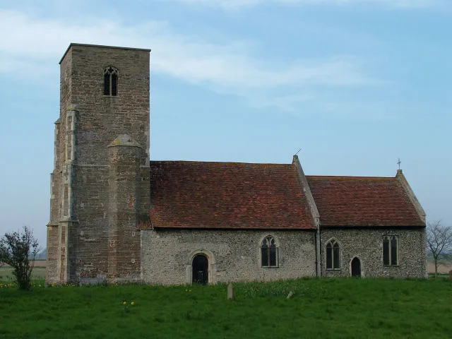
Church of St John the Baptist
Historic churches · 2.4 km

Eyke Village Sign
Public art & sculpture · 2.4 km

Wantisden Cumberlands Mount
Castles · 2.4 km
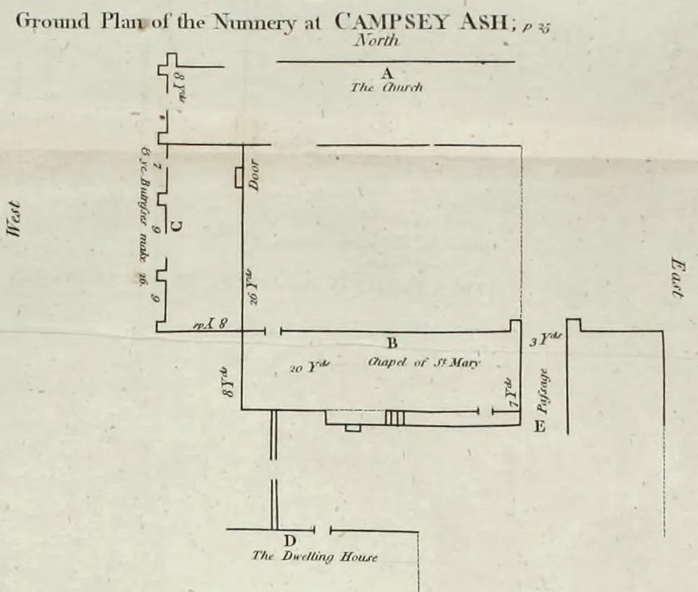
Campsey Priory
Hill forts · 2.4 km

Church of All Saints
Historic churches · 2.5 km

Eyke
Villages · 2.6 km

Tunstall Village Sign
Public art & sculpture · 2.8 km
Nearby
📷 3Public art & sculpture · East of England
Rendlesham Village Sign
Rendlesham Village Sign — a public art in england-east, United Kingdom.
📷 3Museums · East of England
Bentwaters Cold War Museum
Bentwaters Cold War Museum — a museum in england-east, United Kingdom.
📷 5Museums · East of England
RAF Bentwaters
RAF Bentwaters — a museum in england-east, United Kingdom.
📷 3Historic churches · East of England
Church of St Gregory the Great
Church of St Gregory the Great — church in Rendlesham, Suffolk, England, UK.
📷 5Vineyards · East of England
Ash
Ash — a UK vineyard in england east, producing English or Welsh wine from cool-climate grape varieties.
📷 3Historic churches · East of England
Church of St John the Baptist
Church of St John the Baptist — Grade I listed church in Wantisden, Suffolk, England, UK.
Where to eat & stay near Rendlesham
Places to stay
 📷 5
📷 5Campsites · East of England
Brick Kiln Farm
Brick Kiln Farm — a campsite in england east.
 📷 5
📷 5 📷 7
📷 7 📷 5
📷 5 📷 5
📷 5 📷 5
📷 5Places to eat & drink
 📷 5
📷 5 📷 7
📷 7Historic pubs · East of England
The Lion, Little Glemham
The Lion, Little Glemham in England East, United Kingdom.
 📷 5
📷 5Historic pubs · East of England
The Horse and Groom
The Horse and Groom in England East, United Kingdom.
 📷 5
📷 5Historic pubs · East of England
Castle Public House
Castle Public House in England East, United Kingdom.
 📷 7
📷 7Historic pubs · East of England
George and Dragon, Farnham
George and Dragon, Farnham in England East, United Kingdom.
 📷 5
📷 5Cafés · East of England
Honey + Harvey
Honey + Harvey — a café in england east.
More places in this region


Frequently asked questions
- Where is Rendlesham?
- Rendlesham is in Suffolk, East of England, United Kingdom (postcode IP12 2GD), in the parish of Rendlesham.
- What is Rendlesham?
- Rendlesham — a village in england east.
- How do I get to Rendlesham?
- The nearest railway station is Wickham Market, about 2.9 km away. The nearest town is Snape. Drivers can use postcode IP12 2GD.
- Is Rendlesham a protected site?
- Yes — Rendlesham is part of the Sandlings Forest SSSI Site of Special Scientific Interest and the Suffolk Coast & Heaths National Landscape (AONB).
- How do I get to Rendlesham?
- The nearest railway station is Wickham Market, about 2.9 km away. Drivers can navigate to postcode IP12 2GD.