
Archaeological sites · East of England
Remains of Pulham St Mary Airship Station (Hangars)
In or near Pulham Market.
Remains of Pulham St Mary Airship Station (Hangars) — a archaeological in england-east, United Kingdom.

Evelyn Simak — CC BY-SA 2.0 via Wikimedia Commons licence

Plan your visit
- Typical visit
- 45 min–1.5 h
- Nearest railway station
- Diss · 7.9 km
- Free entry
- Dog-friendly
About
Remains of Pulham St Mary Airship Station (Hangars) is a archaeological located in england-east, United Kingdom. Sourced from OpenStreetMap (ODbL licence); see local listings for visitor information, opening hours and admission details.
Photo gallery
Protected designations
- Area of Outstanding Natural Beauty: Suffolk Coast & Heaths
Designations sourced from Natural England open data under OGL v3.
Place summary
The Remains of Pulham St Mary Airship Station, located in the East of England, are archaeological structures that once served as hangars for airships. This site reflects the early 20th-century developments in air transport and the strategic importance of airship stations during that era.
AI-generated from the structured facts on this page (operator, designation, listing, era). Not a substitute for visiting.
- Coordinates
- 52.4064, 1.2273
- County
- Norfolk
- District
- South Norfolk
- Parish
- Dickleburgh and Rushall
- Postcode
- IP21 4QG
- Parliamentary constituency
- Waveney Valley
- Nearest railway station
- Diss — 7.9 km
Sources
- osm: node/4824057793 (ODbL)
Other places nearby

Half Moon
Hotels · 0.9 km

Rushall Village Sign
Public art & sculpture · 0.9 km

Pulham St Mary Village Sign
Public art & sculpture · 2.2 km

Pulham St Mary War Memorial
Memorials & monuments · 2.3 km

Pulham St Mary
Villages · 2.4 km

The 100th Bomb Group Memorial Museum
Museums · 2.4 km

100th Bomb Group Memorial Museum
Museums · 2.5 km

Pulham Market Village Sign
Public art & sculpture · 2.6 km

Falcon Inn
Historic pubs · 2.6 km
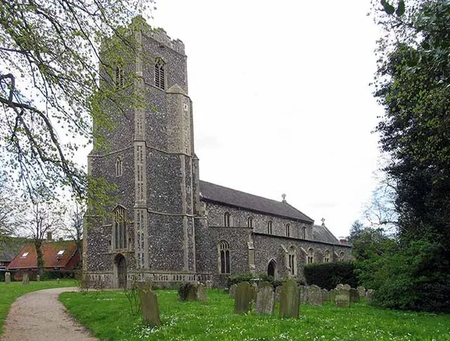
Pulham Market
Towns & cities · 2.6 km

Dickleburgh Village Sign
Public art & sculpture · 3.0 km

Dickleburgh War Memorial
Memorials & monuments · 3.1 km
Nearby
📷 5📷 3Public art & sculpture · East of England
Rushall Village Sign
Rushall Village Sign — a public art in england-east, United Kingdom.
📷 3Public art & sculpture · East of England
Pulham St Mary Village Sign
Pulham St Mary Village Sign — a public art in england-east, United Kingdom.
📷 3Memorials & monuments · East of England
Pulham St Mary War Memorial
Pulham St Mary War Memorial — Grade II listed building-listed memorial in england-east, United Kingdom.
📷 5📷 3Museums · East of England
The 100th Bomb Group Memorial Museum
The 100th Bomb Group Memorial Museum — a museum in england-east, United Kingdom.
Where to eat & stay near Remains of Pulham St Mary Airship Station (Hangars)
Places to stay
📷 5 📷 5
📷 5Caravan parks · East of England
Red Lion Campsite
Red Lion Campsite — a caravan park in england east.
 📷 5
📷 5Hotels · East of England
The Swan Hotel
The Swan Hotel — a hotel in england east.
 📷 5
📷 5 📷 5
📷 5Caravan parks · East of England
The Willows Campsite
The Willows Campsite — a caravan park in england east.
 📷 5
📷 5Caravan parks · East of England
Westbrook Green Farm
Westbrook Green Farm — a caravan park in england east.
Places to eat & drink
📷 5 📷 5
📷 5 📷 5
📷 5 📷 5
📷 5Restaurants · East of England
Hong Xin
Hong Xin — a restaurant in england east.
 📷 5
📷 5 📷 7
📷 7More archaeological sites in this region
 Flagship📷 10
Archaeological sites · East of England
Nunn Wood
Nunn Wood — woods in Essex, England, a Site of Special Scientific Interest.
 📷 5
📷 5Archaeological sites · East of England
A Bronze Age post alignment and timber platform at Flag Fen and associated Bronze Age and later field systems and settlement to
A Bronze Age post alignment and timber platform at Flag Fen and associated Bronze Age and later field systems and settlement to — archaeological site in Thorney, City of Peterborough, England, UK.
 📷 5
📷 5Archaeological sites · East of England
Causewayed enclosure 900m west of Great Wilbraham parish church
Causewayed enclosure 900m west of Great Wilbraham parish church — archaeological site in Great Wilbraham, South Cambridgeshire, England, UK.
 📷 5
📷 5Archaeological sites · East of England
Dray's Ditches
Dray's Ditches — archaeological site in Streatley, Central Bedfordshire, England, UK.
Frequently asked questions
- Where is Remains of Pulham St Mary Airship Station (Hangars)?
- Remains of Pulham St Mary Airship Station (Hangars) is in Norfolk, East of England, United Kingdom (postcode IP21 4QG), in the parish of Dickleburgh and Rushall.
- What is Remains of Pulham St Mary Airship Station (Hangars)?
- Remains of Pulham St Mary Airship Station (Hangars) — a archaeological in england-east, United Kingdom.
- How do I get to Remains of Pulham St Mary Airship Station (Hangars)?
- The nearest railway station is Diss, about 7.9 km away. Drivers can use postcode IP21 4QG.
- Is Remains of Pulham St Mary Airship Station (Hangars) a protected site?
- Yes — Remains of Pulham St Mary Airship Station (Hangars) is part of the Suffolk Coast & Heaths National Landscape (AONB).
- Is Remains of Pulham St Mary Airship Station (Hangars) free to visit?
- Yes, Remains of Pulham St Mary Airship Station (Hangars) is free to enter.
- How do I get to Remains of Pulham St Mary Airship Station (Hangars)?
- The nearest railway station is Diss, about 7.9 km away. Drivers can navigate to postcode IP21 4QG.