
Hill forts · East Midlands
Raw Dykes
In or near Leicester.
Raw Dykes — archaeological site in City of Leicester, Leicestershire, England, UK.

Wikimedia Commons licence
Plan your visit
- Typical visit
- 1 h–2 h
- Nearest railway station
- Leicester · 1.9 km
- Free entry
- Dog-friendly
Getting there & planning your visit
To visit Raw Dykes, the nearest railway station is Leicester, located 1.9 km away. Entry is free. The postcode for navigation is LE2 7QN.
About
Raw Dykes is a hill fort in the United Kingdom. Heritage designation: scheduled monument. Wikidata describes it as: "archaeological site in City of Leicester, Leicestershire, England, UK". Coordinates: 52.6180°, -1.1397°.
Photo gallery
From the Wikipedia article
Raw Dykes (grid reference SK583026) is a Roman earthwork and scheduled monument in Leicester. The monument consists of two parallel banks up to 20 metres apart, with an excavated channel running between them. A stretch 110 metres long survives, but originally the earthwork was at least 550 metres in length. The official entry in the schedule of monuments maintained by the Department of Culture, Media and Sport states that the remains are those of a Roman aqueduct, stating that "the narrow cut within the centre of the ditch represented the main water channel and was designed to increase the flow of water by concentrating it within a constricted space". A publication by Leicester City Council has speculated that the earthwork may have been a canal, rather than a source of clean water, but concluded that the aqueduct-interpretation is "by far the most likely suggestion". Kathleen Kenyon, among others, argued that the level of the aqueduct (following the modern 60-metre contour) was lower than the Roman bath in Leicester, and that Raw Dykes was therefore a failure. However, J.S. Wacher has argued that the Romans were skilled hydraulic engineers, and that it is possible that they pumped water into the town from the Raw Dykes aqueduct. There is evidence that they employed a pump and a storage tank at Leicester's Roman baths in the 4th century. Excavations in 1938 found two Roman pottery sherds from the 1st century AD, indicated that Raw Dykes was constructed during or after this time. The first written reference to the earthwork occurs in the borough of Leicester's accounts from 1322. During the English Civil War, Royalist soldiers used part of the earthwork as an artillery emplacement; it also appears on several 18th- and 19th-century maps. Since the early modern period its length has been greatly shortened by the expansion of Leicester. Members of the public cannot access the site, but a viewing enclosure has been constructed leading off Aylestone Road.
Excerpt from Wikipedia under CC BY-SA 4.0. See the source article linked in Sources below.
- Coordinates
- 52.6180, -1.1397
- District
- Leicester
- Parish
- Leicester, unparished area
- Postcode
- LE2 7QN
- Parliamentary constituency
- Leicester South
- Nearest railway station
- Leicester — 1.9 km
Sources
Other places nearby
Raw Dykes
Memorials & monuments · 0.0 km
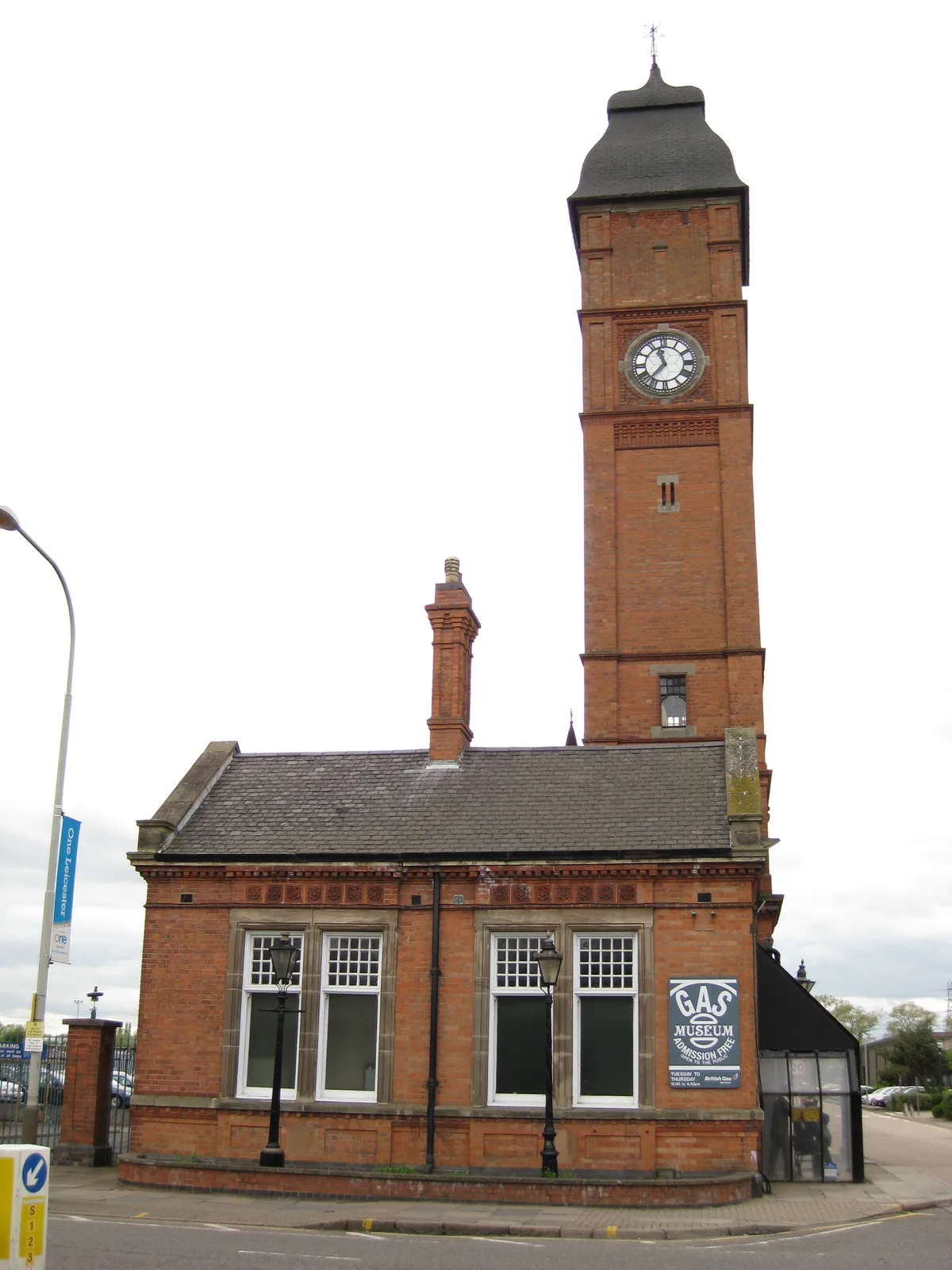
Gas Museum
Museums · 0.2 km

National Gas Museum
Museums · 0.2 km

Odeon Leicester
Theatres · 0.3 km

Holiday Inn Express
Hotels · 0.5 km

Bedehouse Towpath Bridge
Historic bridges · 0.8 km

Gurdwara Gur Panth Parkash
Historic churches · 0.9 km

Statue Of Liberty
Natural landmarks · 0.9 km

Welford Road Cemetery
Cemeteries · 0.9 km

Masjid us Sunnah
Historic churches · 0.9 km
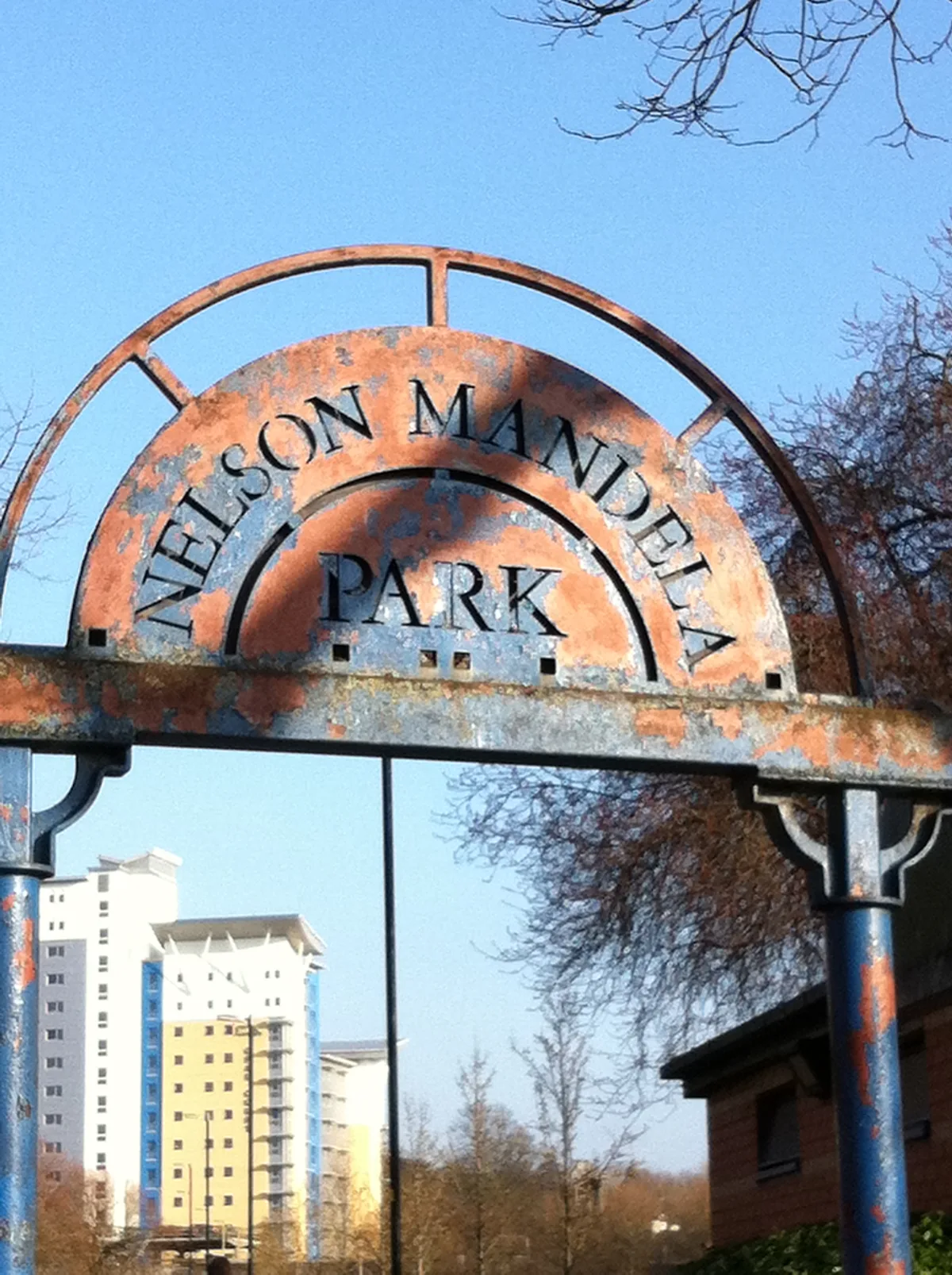
Nelson Mandela Park
Country parks · 1.0 km

Aylestone Cinema
Theatres · 1.0 km
Nearby
📷 5📷 3Museums · East Midlands
Gas Museum
Gas Museum — museum in Leicester, England, UK.
📷 3Museums · East Midlands
National Gas Museum
National Gas Museum — a museum in East Midlands, United Kingdom.
📷 3📷 7Hotels · East Midlands
Holiday Inn Express
Holiday Inn Express — a hotel in england west midlands. 3-star. Brand: Holiday Inn Express.
📷 3Historic bridges · East Midlands
Bedehouse Towpath Bridge
Bedehouse Towpath Bridge — Grade II listed building-listed bridge in england-west-midlands, United Kingdom.
Where to eat & stay near Raw Dykes
Places to stay
📷 7Hotels · East Midlands
Holiday Inn Express
Holiday Inn Express — a hotel in england west midlands. 3-star. Brand: Holiday Inn Express.
 📷 5
📷 5Hotels · East Midlands
Winstanley House
Winstanley House — a hotel in england west midlands.
 📷 5
📷 5Hotels · East Midlands
Blaby Westfield Hotel
Blaby Westfield Hotel — a hotel in england west midlands.
 📷 5
📷 5Caravan parks · East Midlands
Unicorn Mobile Home Park
Unicorn Mobile Home Park — a caravan park in england west midlands.
 📷 5
📷 5Caravan parks · East Midlands
Inglenook Park (Mobile Home Park)
Inglenook Park (Mobile Home Park) — a caravan park in england west midlands.
 📷 5
📷 5Caravan parks · East Midlands
Cropston Caravan Site
Cropston Caravan Site — a caravan park in england west midlands.
Places to eat & drink
 📷 5
📷 5 📷 5
📷 5Restaurants · East Midlands
Peter Pizzeria
Peter Pizzeria — a restaurant in england west midlands. Cuisine: sandwich;pizza.
 📷 5
📷 5Restaurants · East Midlands
Pepe's Piri Piri
Pepe's Piri Piri — a restaurant in england west midlands. Cuisine: burger;sandwich;indian;asian;chicken;ice cream. 5-star.
 📷 5
📷 5Historic pubs · East Midlands
Market Tavern
Market Tavern in England East Midlands, United Kingdom.
 📷 5
📷 5Historic pubs · East Midlands
Narborough Arms
Narborough Arms in England East Midlands, United Kingdom.
 📷 5
📷 5Historic pubs · East Midlands
Old Grey Hound Inn Public House
Old Grey Hound Inn Public House in England East Midlands, United Kingdom.
More places in this region
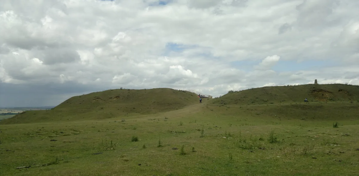 📷 3
📷 3Hill forts · East Midlands
Burrough Hill
Burrough Hill — Iron Age hill fort in Leicestershire, England, UK.
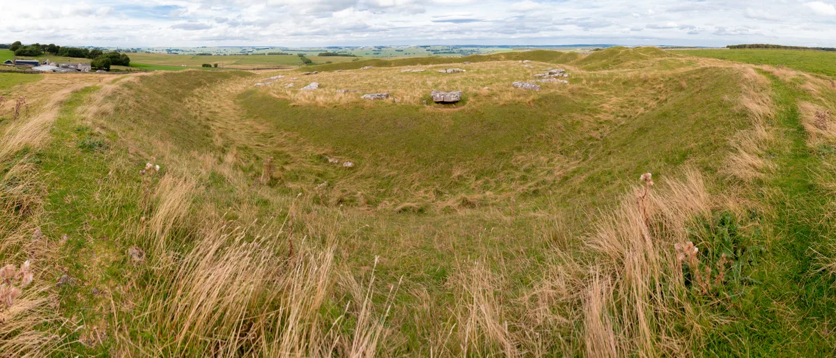 📷 5
📷 5Hill forts · East Midlands
Arbor Low
Arbor Low — Neolithic henge monument.
 📷 5
📷 5Hill forts · East Midlands
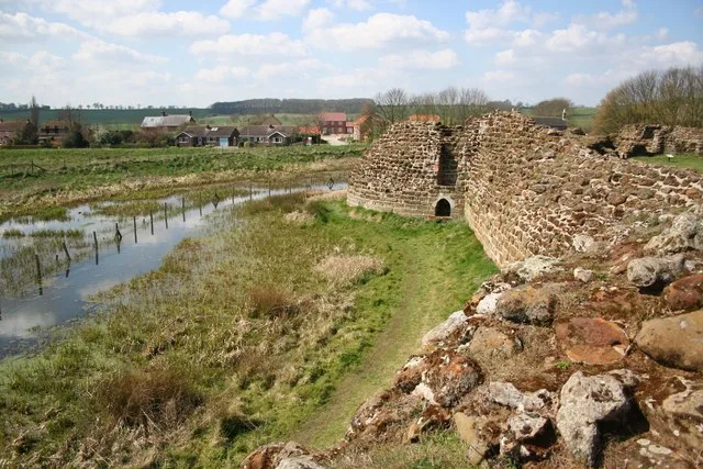
Bolingbroke Castle
Bolingbroke Castle — castle in Bolingbroke, England.
 📷 3
📷 3Hill forts · East Midlands
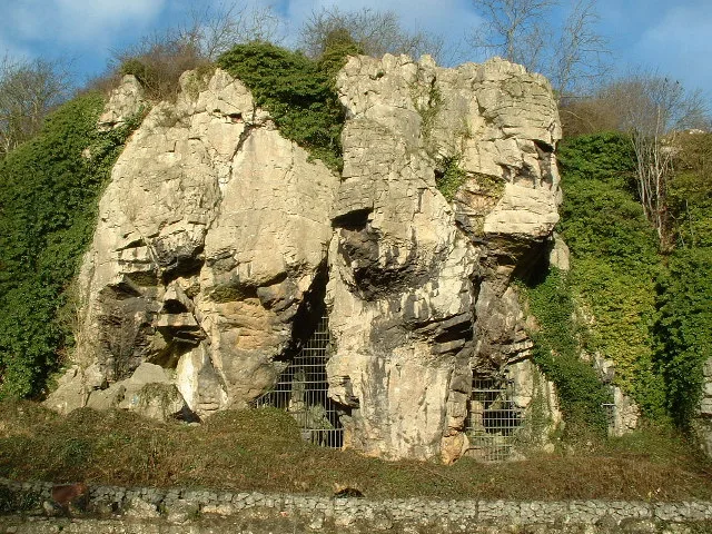
Creswell Crags
Creswell Crags — limestone gorge on the border between Derbyshire and Nottinghamshire, England.
Frequently asked questions
- Where is Raw Dykes?
- Raw Dykes is in the East Midlands, United Kingdom (postcode LE2 7QN), in the parish of Leicester, unparished area.
- What is Raw Dykes?
- Raw Dykes — archaeological site in City of Leicester, Leicestershire, England, UK.
- How do I get to Raw Dykes?
- The nearest railway station is Leicester, about 1.9 km away. The nearest town is Leicester. Drivers can use postcode LE2 7QN.
- Is Raw Dykes a listed building?
- Raw Dykes is officially recognised as scheduled monument listed.
- Is Raw Dykes free to visit?
- Yes, Raw Dykes is free to enter.
- How do I get to Raw Dykes?
- The nearest railway station is Leicester, about 1.9 km away. Drivers can navigate to postcode LE2 7QN.