
Archaeological sites · East Midlands
Quarry Hill & Hill 60 WW1 training trenches
In or near Hathersage.
Quarry Hill & Hill 60 WW1 training trenches — archaeological in england east midlands.

Neil Theasby — CC BY-SA 2.0 via Wikimedia Commons licence

Plan your visit
- Typical visit
- 45 min–1.5 h
- Nearest railway station
- Hathersage · 5.2 km
About
Quarry Hill & Hill 60 WW1 training trenches is a archaeological located in england east midlands. A British archaeological site recorded in OpenStreetMap with at least one heritage quality signal (Wikidata link, Wikipedia article or designated operator).
Photo gallery
Protected designations
- Site of Special Scientific Interest: Eastern Peak District Moors SSSI
Designations sourced from Natural England open data under OGL v3.
Place summary
Quarry Hill & Hill 60 WW1 training trenches are archaeological sites located in the East Midlands. These trenches were used for military training during the First World War, providing insight into the preparation of soldiers for combat. The sites are of historical significance, reflecting the military strategies and conditions faced by troops at the time. Visitors can explore the remnants of these trenches and gain an understanding of their role in the war effort.
AI-generated from the structured facts on this page (operator, designation, listing, era). Not a substitute for visiting.
- Coordinates
- 53.3687, -1.6208
- District
- Sheffield
- Parish
- Sheffield, unparished area
- Postcode
- S10 4QZ
- Parliamentary constituency
- Sheffield Hallam
- Nearest railway station
- Hathersage — 5.2 km
Sources
- osm: w817848699 (ODbL)
- wikidata: Q66480766 (CC0)
Other places nearby

Quarry Hill & Hill 60 WW1 training trenches
Archaeological sites · 0.0 km
Ocean View
Historic houses · 0.3 km

Redmires Reservoirs
Reservoirs & lochs · 0.7 km

Redmires
Reservoirs & lochs · 0.7 km

Grouse and Trout Shield
Memorials & monuments · 0.8 km

Hammond's Field
Forests & woodlands · 1.0 km
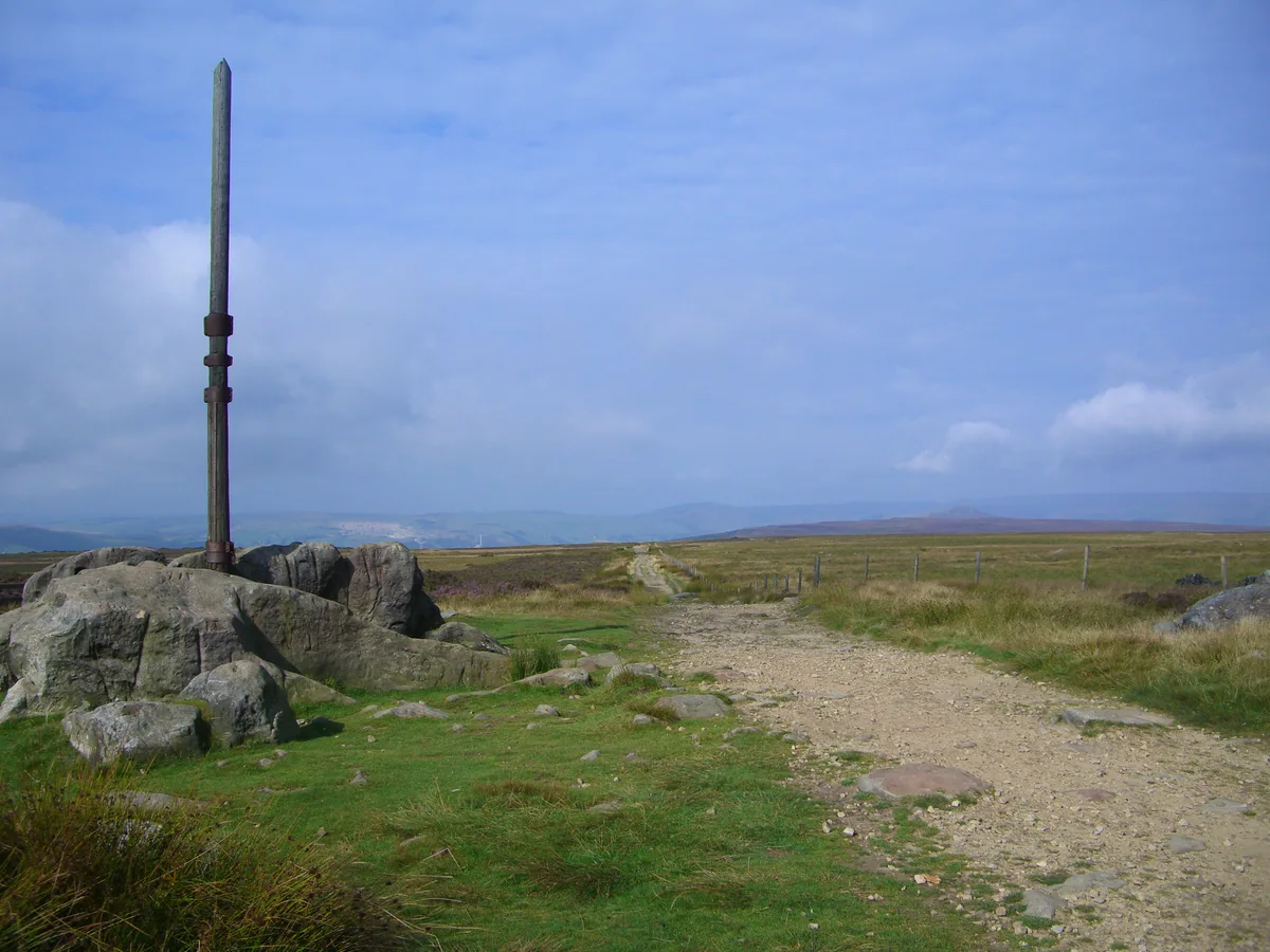
Stanedge Pole
Mountains & hills · 1.5 km

Stone Circle
Archaeological sites · 1.7 km

Wyming Brook Farm Certificated Site
Campsites · 1.7 km

Ash Cabin Flat
Vineyards · 1.9 km

High Neb
Mountains & hills · 2.0 km

Stanage
Climbing & bouldering crags · 2.1 km
Nearby
📷 3Archaeological sites · East Midlands
Quarry Hill & Hill 60 WW1 training trenches
Quarry Hill & Hill 60 WW1 training trenches — a archaeological in england-east-midlands, United Kingdom.
📷 3Historic houses · East Midlands
Ocean View
Ocean View — a historic house in england-east-midlands, United Kingdom.
📷 3Reservoirs & lochs · East Midlands
Redmires Reservoirs
Redmires Reservoirs — group of reservoirs in Sheffield, South Yorkshire, England, UK.
📷 5📷 3Memorials & monuments · East Midlands
Grouse and Trout Shield
Grouse and Trout Shield — a memorial in england-east-midlands, United Kingdom.
📷 3Forests & woodlands · East Midlands
Hammond's Field
Hammond's Field is a forest or woodland in the United Kingdom.
Where to eat & stay near Quarry Hill & Hill 60 WW1 training trenches
Places to stay
📷 5Campsites · East Midlands
Wyming Brook Farm Certificated Site
Wyming Brook Farm Certificated Site — a campsite in england east midlands.
 📷 5
📷 5Campsites · East Midlands
North Lees Campsite
North Lees Campsite — a campsite in england east midlands.
 📷 5
📷 5Campsites · East Midlands
Fox Hagg Farm Camp Site
Fox Hagg Farm Camp Site — a campsite in england east midlands.
 📷 5
📷 5 📷 5
📷 5Hostels · East Midlands
Thorpe Farm Bunkhouses
Thorpe Farm Bunkhouses — a hostel in england east midlands.
📷 5Places to eat & drink
 📷 5
📷 5Historic pubs · Yorkshire & the Humber
Norfolk Arms Public House
Norfolk Arms Public House in England Yorkshire, United Kingdom.
 📷 7
📷 7Historic pubs · Yorkshire & the Humber
The Fox House
The Fox House in England Yorkshire, United Kingdom.
 📷 5
📷 5Historic pubs · Yorkshire & the Humber
Rose And Crown Public House And Attached Wall
Rose And Crown Public House And Attached Wall in England Yorkshire, United Kingdom.
 📷 5
📷 5Historic pubs · Yorkshire & the Humber
Union Hotel and adjoining boundary wall
Union Hotel and adjoining boundary wall in England Yorkshire, United Kingdom.
 📷 7
📷 7Historic pubs · Yorkshire & the Humber
Glossop Road Baths
Glossop Road Baths in England Yorkshire, United Kingdom.
 📷 5
📷 5Historic pubs · Yorkshire & the Humber
The Owl Public House
The Owl Public House in England Yorkshire, United Kingdom.
More archaeological sites in this region
 📷 4
📷 4Archaeological sites · East Midlands
Roman site, Priors Meadow
Roman site, Priors Meadow — archaeological site in Deeping St James, South Kesteven, England, UK.
 📷 5
📷 5Archaeological sites · East Midlands
Site of St Peter's Church
Site of St Peter's Church — site of former church in Stamford, Lincolnshire, England, UK.
 📷 5
📷 5Archaeological sites · East Midlands
Stamford East railway station
Stamford East railway station — a archaeological in england-london, United Kingdom.
 📷 5
📷 5Archaeological sites · East Midlands
Stamford East railway sheds (now residential)
Stamford East railway sheds (now residential) — a archaeological in england-london, United Kingdom.
Frequently asked questions
- Where is Quarry Hill & Hill 60 WW1 training trenches?
- Quarry Hill & Hill 60 WW1 training trenches is in the East Midlands, United Kingdom (postcode S10 4QZ), in the parish of Sheffield, unparished area.
- What is Quarry Hill & Hill 60 WW1 training trenches?
- Quarry Hill & Hill 60 WW1 training trenches — archaeological in england east midlands.
- How do I get to Quarry Hill & Hill 60 WW1 training trenches?
- The nearest railway station is Hathersage, about 5.2 km away. Drivers can use postcode S10 4QZ.
- Is Quarry Hill & Hill 60 WW1 training trenches a protected site?
- Yes — Quarry Hill & Hill 60 WW1 training trenches is part of the Eastern Peak District Moors SSSI Site of Special Scientific Interest.
- How do I get to Quarry Hill & Hill 60 WW1 training trenches?
- The nearest railway station is Hathersage, about 5.2 km away. Drivers can navigate to postcode S10 4QZ.