
Wildlife reserves · London
Q16900567
In or near Tyburn.
Q16900567 — graveyard in City of Westminster, London, UK.

Wikimedia Commons contributors — see linked file page for photographer and licence licence

Plan your visit
- Typical visit
- 2 h–4 h
- Best time of year
- Autumn & winter (migration & wildfowl)
- Nearest railway station
- St. John's Wood · 0.6 km
- Free entry
- Dog-friendly
About
Q16900567 is a wildlife reserve in the United Kingdom. Wikidata describes it as: "graveyard in City of Westminster, London, UK". Coordinates: 51.5316°, -0.1690°.
Photo gallery
From the Wikipedia article
St John's Wood Church Grounds is a disused graveyard which is now a public park in St. John's Wood in London. It is a Site of Borough Importance for Nature Conservation, Grade 1, and the only Local Nature Reserve in the City of Westminster. Since 2004 it has received the Green Flag Award for excellent green spaces. It is owned and managed by Westminster Council.
Excerpt from Wikipedia under CC BY-SA 4.0. See the source article linked in Sources below.
Background
History
St. John's Wood was part of the Great Forest of Middlesex in the medieval period. From 1323 the land was owned by the Knights of the Order of St. John, after whom the area is named, but at the Dissolution of the Monasteries it passed to the Crown. In the 1732 the site was sold to Henry Samuel Eyre, and in the 18th century it was agricultural land on two fields called Great Garden Field and Willow Tree Field. The area began to be developed in the 19th century, and St John's Wood Church and burial ground were consecrated in 1814. The burial ground was closed in 1855, and converted to a public garden in 1886. There are thought to be around 50,000 graves, including those of the artist John Sell…
Description
The site has formal flower beds, a wildlife area and a children's playground. The wildlife area has hedges, a meadow and woodland in an area mixed with gravestones, and it is a good site for butterflies. It is located opposite Lord's between St John's Wood High Street and Wellington Road.
Sourced from Wikipedia under CC BY-SA 4.0.
- Coordinates
- 51.5316, -0.1690
- District
- Westminster
- Parish
- Westminster, unparished area
- Postcode
- NW8 7AB
- Parliamentary constituency
- Cities of London and Westminster
- Nearest railway station
- St. John's Wood — 0.6 km
Sources
- wikidata: Q16900567 (CC0)
- wikipedia: St. John's Wood Church Grounds (CC BY-SA 4.0)
- commons: St John's Wood Churchyard wildlife area.JPG (CC BY-SA 4.0)
Other places nearby

Saint John the Baptist
Cathedrals · 0.1 km
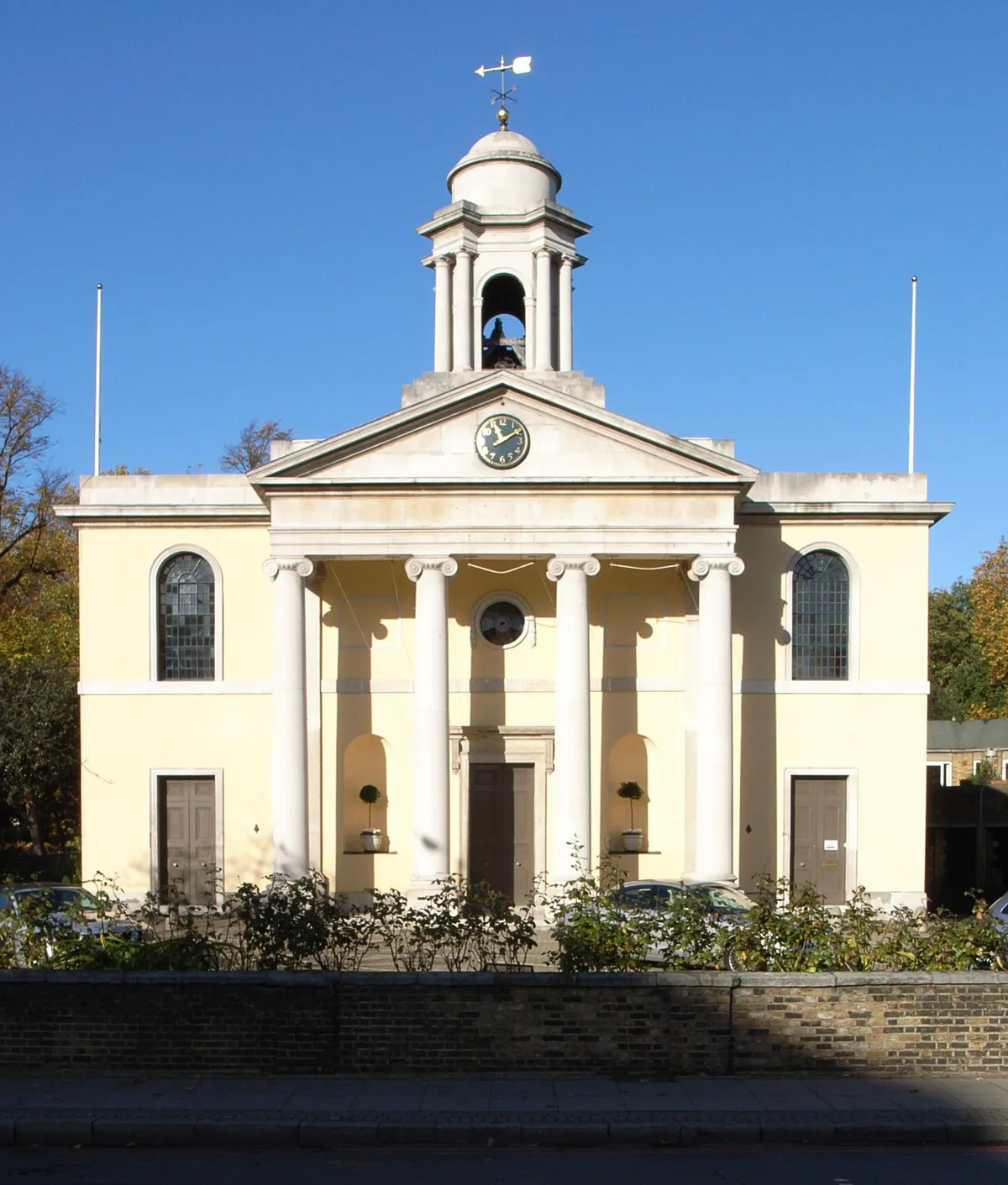
St John's Wood Church
Historic churches · 0.1 km

St Marylebone War Memorial
Memorials & monuments · 0.2 km

St Marylebone War Memorial
Memorials & monuments · 0.2 km

Nuffield Lodge
Historic houses · 0.2 km

Benjamin Britten
Memorials & monuments · 0.2 km

Madame Tussaud
Memorials & monuments · 0.2 km

Oslo Court
Gardens · 0.2 km
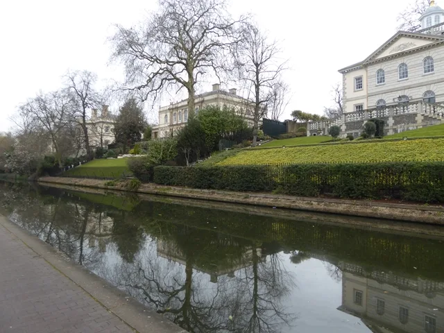
Quinlan Terry's Regent's Park villas
Museums · 0.2 km

Lord's Media Centre
Gardens · 0.3 km
.jpg?width=1200)
Hanover Lodge
Historic houses · 0.3 km

Winfield House
Historic houses · 0.3 km
Nearby
📷 5📷 5Historic churches · London
St John's Wood Church
St John's Wood Church — church in St John's Wood, London, UK.
📷 5Memorials & monuments · London
St Marylebone War Memorial
St Marylebone War Memorial — Grade II listed building-listed memorial in england-london, United Kingdom.
📷 5Memorials & monuments · London
St Marylebone War Memorial
St Marylebone War Memorial is a memorial in the United Kingdom.
📷 5Historic houses · London
Nuffield Lodge
Nuffield Lodge — a Grade I-listed historic house in england-london, United Kingdom.
📷 5Memorials & monuments · London
Benjamin Britten
Benjamin Britten — a memorial in england-london, United Kingdom.
Where to eat & stay near Q16900567
Places to stay
 📷 5
📷 5Hotels · London
St John's Wood Boutique Hotel
St John's Wood Boutique Hotel — a hotel in england london.
 📷 5
📷 5 📷 5
📷 5 📷 5
📷 5 📷 5
📷 5Hotels · London
Park Avenue Baker Street
Park Avenue Baker Street — a hotel in england london.
 📷 5
📷 5Places to eat & drink
 📷 5
📷 5 📷 6
📷 6Restaurants · London
Crocker's Folly
Crocker's Folly — a restaurant in england london.
 📷 5
📷 5Historic pubs · London
Exeter Arms Public House
Exeter Arms Public House in England London, United Kingdom.
 📷 5
📷 5 📷 5
📷 5Restaurants · London
Seashell of Lisson Grove
Seashell of Lisson Grove — a restaurant in england london.
 📷 5
📷 5More places in this region
 Flagship📷 10
Wildlife reserves · London
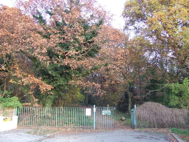
Bedfords Park
Bedfords Park — Havering London Borough green landscape, also an Essex Wildlife Trust Nature reserve.
 Flagship📷 10
 Flagship📷 10
Wildlife reserves · London
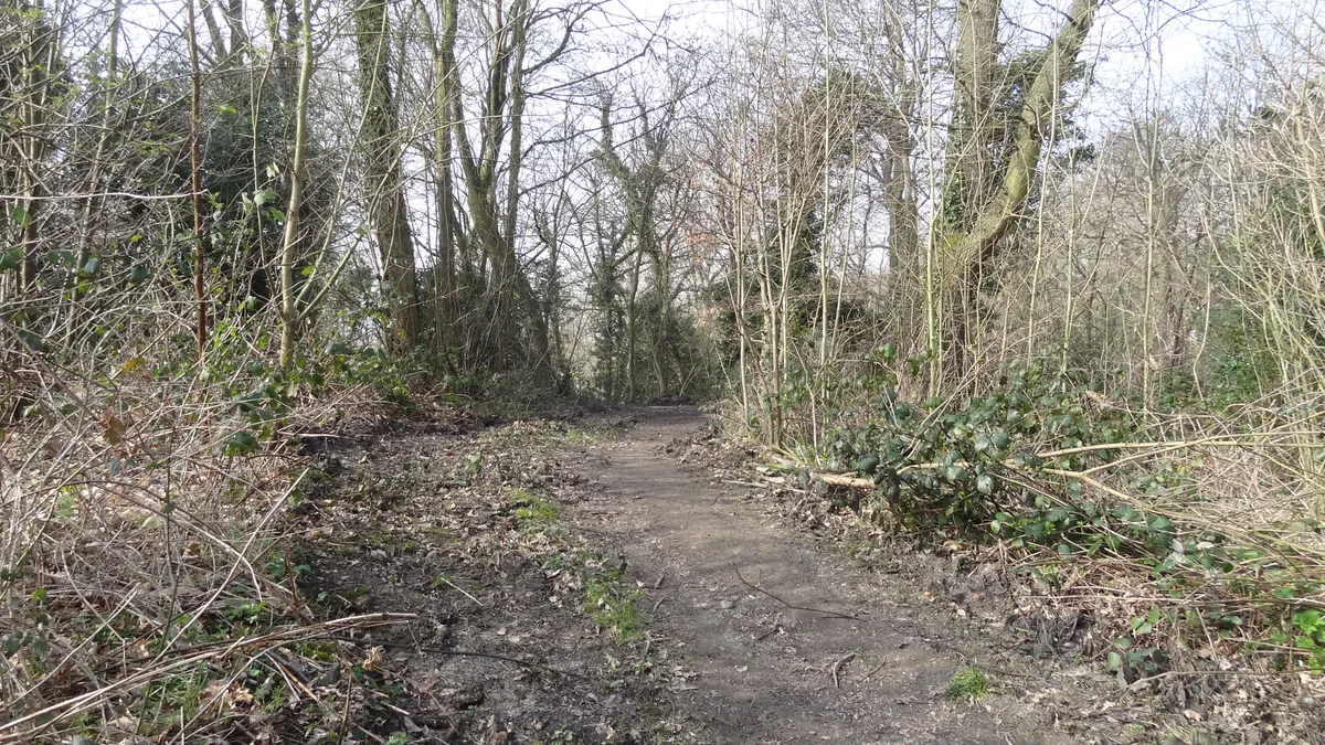
Bramley Bank
Bramley Bank — Nature reserve in Upper Shirley.
 Flagship📷 10
Wildlife reserves · London
Chafford Gorges Nature Park
Chafford Gorges Nature Park — Essex Wildlife Trust Nature reserve.
Frequently asked questions
- Where is Q16900567?
- Q16900567 is in London, United Kingdom (postcode NW8 7AB), in the parish of Westminster, unparished area.
- What is Q16900567?
- Q16900567 — graveyard in City of Westminster, London, UK.
- How do I get to Q16900567?
- The nearest railway station is St. John's Wood, about 0.6 km away. Drivers can use postcode NW8 7AB.
- Is Q16900567 free to visit?
- Yes, Q16900567 is free to enter.
- How do I get to Q16900567?
- The nearest railway station is St. John's Wood, about 0.6 km away. Drivers can navigate to postcode NW8 7AB.
- Are dogs allowed at Q16900567?
- Most wildlife reserves allow dogs on lead only, with restrictions during ground-nesting bird season (March-July). Check signage at the reserve.