
Hill forts · East of England
Princes Channel Wreck
Princes Channel Wreck — Elizabethan shipwreck.

Earth Science and Remote Sensing Unit, NASA Johnson Space Center — Public domain via Wikimedia Commons licence

Plan your visit
- Typical visit
- 1 h–2 h
- Free entry
- Dog-friendly
About
Princes Channel Wreck is a hill fort in the United Kingdom. Wikidata describes it as: "Elizabethan shipwreck". Coordinates: 51.4911°, 1.1119°.
Photo gallery
From the Wikipedia article
The Princes Channel wreck, also known as the Gresham Ship is an Elizabethan shipwreck (c. 1574) that was discovered in the Princes Channel in the Thames Estuary. It was discovered by the Port of London Authority in 2004 during a dredging operation to remove obstructions that posed hazards and impeded navigation during low tides (Auer, J. and Firth, A.).
Excerpt from Wikipedia under CC BY-SA 4.0. See the source article linked in Sources below.
- Coordinates
- 51.4911, 1.1119
Sources
- wikidata: Q7244439 (CC0)
- wikipedia: Princes Channel Wreck (CC BY-SA 4.0)
Other places nearby
Nearby

Forts · East of England
Maunsell Navy Fort "Knock John Tower"
Maunsell Navy Fort "Knock John Tower" — fort in england south east.
Lighthouses · East of England
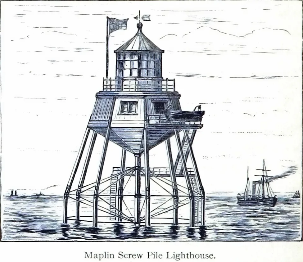
Maplin Lighthouse
Maplin Lighthouse — lighthouse at the mouth of the Thames on Maplin Sands, Essex, England.
 📷 2
📷 2Piers · South East England
Remains of the end of Herne Bay Pier
Remains of the end of Herne Bay Pier is a pier in the United Kingdom.
 📷 5
📷 5 📷 5
📷 5 📷 5
📷 5Public art & sculpture · South East England
Aviator Amy Johnson
Aviator Amy Johnson — a public art in england-south-east, United Kingdom.
Where to eat & stay near Princes Channel Wreck
Places to stay
 📷 5
📷 5 📷 5
📷 5Caravan parks · South East England
Seaview Holiday Park
Seaview Holiday Park — a caravan park in england south east.
 📷 5
📷 5 📷 5
📷 5Hotels · South East England
The Duke of Cumberland
The Duke of Cumberland — a hotel in england south east.
 📷 5
📷 5 📷 5
📷 5Caravan parks · South East England
Nutts Farm Holiday Park
Nutts Farm Holiday Park — a caravan park in england south east.
Places to eat & drink
 📷 5
📷 5 📷 5
📷 5 📷 5
📷 5Historic pubs · South East England
The Powell Arms Public House
The Powell Arms Public House in England South East, United Kingdom.
 📷 5
📷 5Historic pubs · East of England
The George And Dragon Public House
The George And Dragon Public House in England East, United Kingdom.
 📷 7
📷 7Cafés · South East England
Chapters
Chapters — a café in england south east.
 📷 5
📷 5Historic pubs · South East England
Ferry House Inn
Ferry House Inn — Historic pub — listed building or notable heritage status.
More places in this region
 📷 5
📷 5Hill forts · East of England
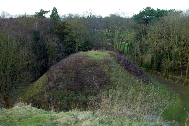
Bartlow Hills
Bartlow Hills — Roman tumuli cemetery in Bartlow (Cambridgeshire, UK).
 📷 5
📷 5Hill forts · East of England
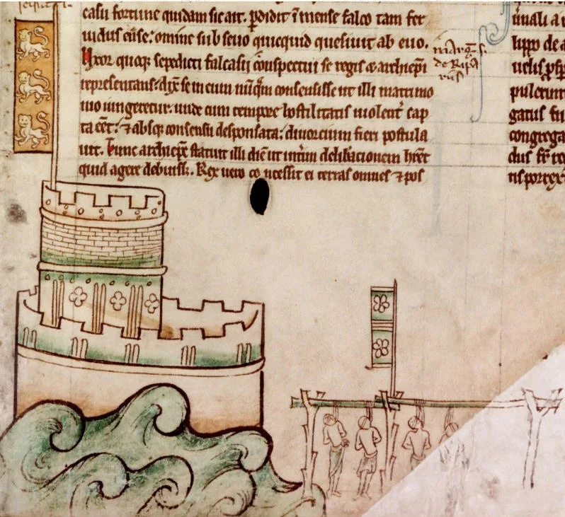
Bedford Castle
Bedford Castle — castle in Bedfordshire, England, UK.
.jpg?width=1200) 📷 5
📷 5Hill forts · East of England
Beech Bottom Dyke
Beech Bottom Dyke — Iron Age ditch in St Albans, Hertfordshire, England, UK.
 📷 5
📷 5Hill forts · East of England
Braughing Roman Town
Braughing Roman Town — archaeological site in Braughing, East Hertfordshire, England, UK.
Frequently asked questions
- Where is Princes Channel Wreck?
- Princes Channel Wreck is in South-East England, United Kingdom.
- What is Princes Channel Wreck?
- Princes Channel Wreck — Elizabethan shipwreck.
- How do I get to Princes Channel Wreck?
- Its coordinates are 51.4911°, 1.1119°.
- Is Princes Channel Wreck free to visit?
- Yes, Princes Channel Wreck is free to enter.