Mountains & hills · Scottish Lowlands
Priest's Crag
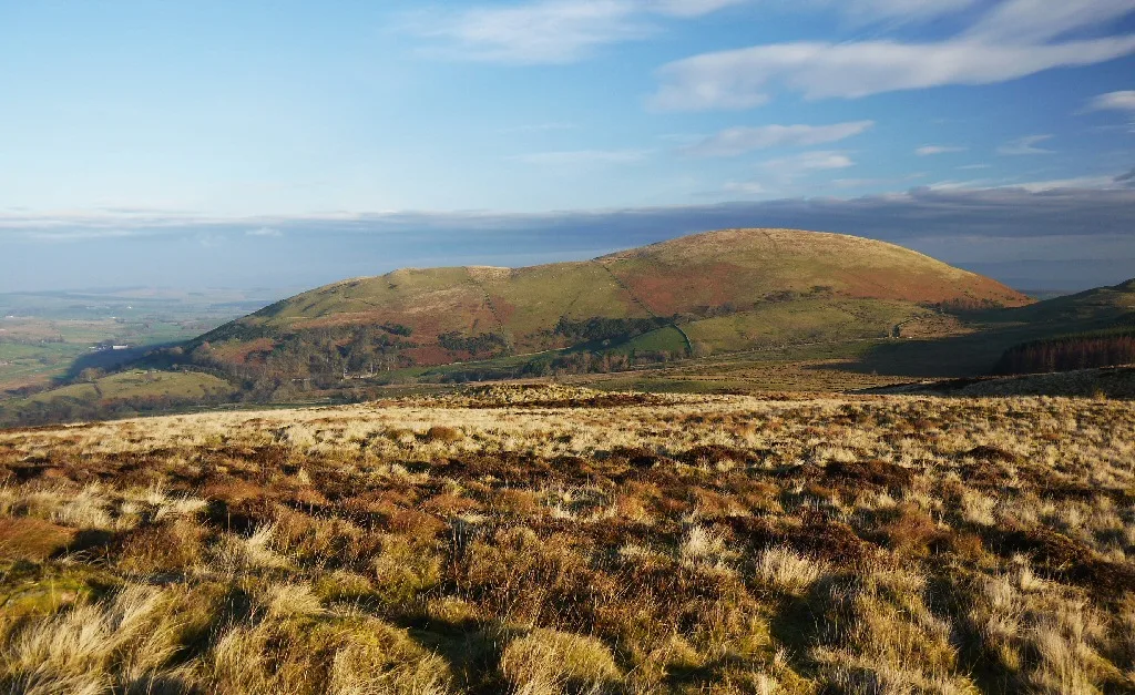
Priest's Crag — mountain in scotland lowlands. Elevation: 424 m.

David Purchase — CC BY-SA 2.0 via Wikimedia Commons licence
Plan your visit
- Typical visit
- 3 h–8 h
- Best time of year
- Late spring – early autumn (May–Oct)
About
Priest's Crag is a mountain located in scotland lowlands. Elevation: 424 m. A named British peak recorded in OpenStreetMap. Peaks are typically named on Ordnance Survey 1:50k mapping.
Photo gallery
Place summary
Priest's Crag is a mountain located in the Scottish Lowlands. It is known for its distinctive landscape and offers various opportunities for outdoor activities. Visitors can expect rugged terrain and scenic views typical of the region, making it suitable for hiking and exploration. The area is characterised by its natural beauty and is a notable feature in the local geography.
AI-generated from the structured facts on this page (operator, designation, listing, era). Not a substitute for visiting.
- Coordinates
- 54.6017, -2.8924
Sources
- osm: n8224450815 (ODbL)
Other places nearby
Loading nearby places…
Nearby
 📷 5
📷 5Mountains & hills · North East England
Little Meldrum
Little Meldrum — mountain in england north east. Elevation: 404 m.
 📷 5
📷 5Caravan parks · Scottish Lowlands
Cove Park
Cove Park — a caravan park in scotland lowlands.
 📷 4
📷 4Natural landmarks · Scottish Lowlands
Little Mell Fell
Little Mell Fell — mountain in United Kingdom.
📷 5Caravan parks · Scottish Lowlands
The Quiet Site
The Quiet Site — a caravan park in scotland lowlands.
 📷 4
📷 4Mountains & hills · Scottish Lowlands
Little Mell Fell
Little Mell Fell — Named summit at 505.1 m.
 📷 3
📷 3Public art & sculpture · North East England
Herdwick Stone - Tyan
Herdwick Stone - Tyan — a public art in england-north-east, United Kingdom.
More mountains in this region
 📷 3
📷 3Mountains & hills · Scottish Lowlands
Andrewhinney Hill
Andrewhinney Hill — Named summit at 677 m.
 📷 3
📷 3Mountains & hills · Scottish Lowlands
Arbory Hill
Arbory Hill — Named summit at 429 m.
 📷 3
📷 3Mountains & hills · Scottish Lowlands
Auchenton Hill ( East Mount Lowther)
Auchenton Hill ( East Mount Lowther) — Named summit at 631 m.
 📷 3
📷 3Mountains & hills · Scottish Lowlands
Bakestall
Bakestall — Named summit at 673.5 m.
Frequently asked questions
- Where is Priest's Crag?
- Priest's Crag is in the Scottish Lowlands, United Kingdom.
- What is Priest's Crag?
- Priest's Crag — mountain in scotland lowlands. Elevation: 424 m.
- How do I get to Priest's Crag?
- Its coordinates are 54.6017°, -2.8924°.