
Archaeological sites · South West England
Prehistoric settlements, fields and enclosures within the Shapley Common coaxial field system, 770m south of Challacombe Cross
In or near Widecombe in the Moor.
Prehistoric settlements, fields and enclosures within the Shapley Common coaxial field system, 770m south of Challacombe Cross — archaeological site in North Bovey, Teignbridge, England, UK.

Wikimedia Commons contributors — see linked file page for photographer and licence licence

Plan your visit
- Typical visit
- 45 min–1.5 h
- Free entry
- Dog-friendly
About
Prehistoric settlements, fields and enclosures within the Shapley Common coaxial field system, 770m south of Challacombe Cross is a place of interest in Devon, South-West England. Officially recognised as scheduled monument. The site is a designated Site of Special Scientific Interest. It sits within the Central Devon parliamentary constituency. Postcode area TQ13.
Photo gallery
Protected designations
- Site of Special Scientific Interest: East Dartmoor SSSI
Designations sourced from Natural England open data under OGL v3.
Place summary
The Prehistoric settlements, fields and enclosures within the Shapley Common coaxial field system are located 770m south of Challacombe Cross in North Bovey, Devon. This archaeological site is designated as a scheduled monument and is part of the East Dartmoor SSSI.
AI-generated from the structured facts on this page (operator, designation, listing, era). Not a substitute for visiting.
- Coordinates
- 50.6256, -3.8457
- County
- Devon
- District
- Teignbridge
- Parish
- North Bovey
- Postcode
- TQ13 8RL
- Parliamentary constituency
- Central Devon
Sources
- wikidata: Q17663115 (CC0)
- commons: Hut circle on Shapley Common.jpg (CC BY-SA 4.0)
Other places nearby

Bush Down
Mountains & hills · 1.0 km
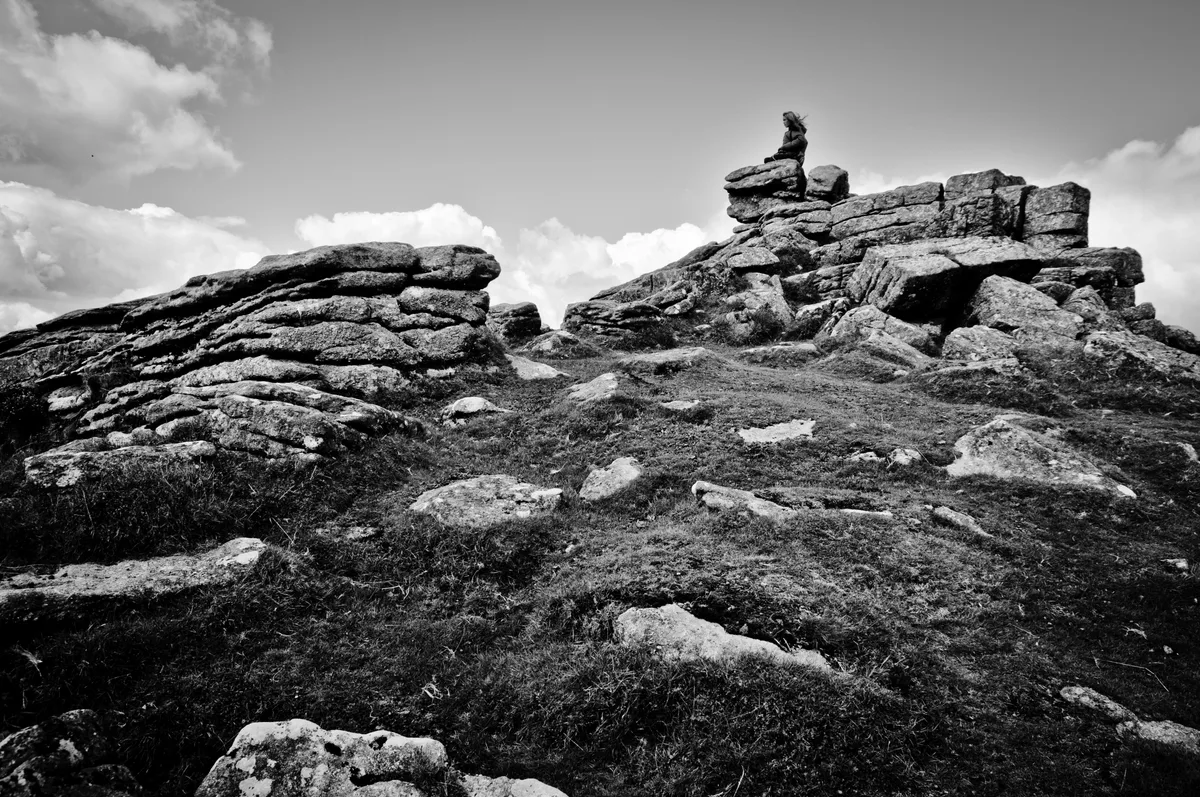
Hookney Tor
Mountains & hills · 1.0 km

Beehive Hut (Remains)
Historic houses · 1.1 km

Leapra Cross: a wayside cross at the entrance to Moor Gate Farm
Farms (open to visitors) · 1.2 km

Birch Tor
Mountains & hills · 1.3 km

Tinners heap
Historic houses · 1.4 km
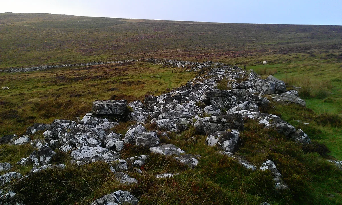
Grimspound
Hill forts · 1.5 km

Bennett's Cross
Historic houses · 1.7 km

Sanders
Historic houses · 1.9 km

Engine house and chimney base
Historic houses · 1.9 km

Ruined buildings (Roses Cottage)
Historic houses · 2.3 km

RAF Memorial
Memorials & monuments · 2.3 km
Nearby
📷 5Mountains & hills · South West England
Bush Down
Bush Down — a hill or mountain in england south west.
📷 5Mountains & hills · South West England
Hookney Tor
Hookney Tor — Named summit at 497 m.
📷 3Historic houses · South West England
Beehive Hut (Remains)
Beehive Hut (Remains) — a historic house in england-south-west, United Kingdom.
📷 3Farms (open to visitors) · South West England
Leapra Cross: a wayside cross at the entrance to Moor Gate Farm
Leapra Cross: a wayside cross at the entrance to Moor Gate Farm — a Grade II-listed farm in england-south-west, United Kingdom.
📷 5Mountains & hills · South West England
Birch Tor
Birch Tor — mountain in england south west. Elevation: 487 m.
📷 3Historic houses · South West England
Tinners heap
Tinners heap — a historic house in england-south-west, United Kingdom.
Where to eat & stay near Prehistoric settlements, fields and enclosures within the Shapley Common coaxial field system, 770m south of Challacombe Cross
Places to stay
 📷 5
📷 5Campsites · South West England
Runnage Farm Campsite
Runnage Farm Campsite — a campsite in england south west.
 📷 5
📷 5Hotels · South West England
Bovey Castle
Bovey Castle — a hotel in england south west.
 📷 5
📷 5 📷 5
📷 5 📷 5
📷 5Hotels · South West England
The Three Crowns Hotel
The Three Crowns Hotel — a hotel in england south west.
 📷 5
📷 5Hostels · South West England
Dartmoor Expedition Centre
Dartmoor Expedition Centre — a hostel in england south west.
Places to eat & drink
 📷 7
📷 7Historic pubs · South West England
Warren House Inn
Warren House Inn in England South West, United Kingdom.
 📷 5
📷 5 📷 5
📷 5Historic pubs · South West England
The Oxenham Arms
The Oxenham Arms in England South West, United Kingdom.
 📷 5
📷 5Historic pubs · South West England
The Victoria Inn
The Victoria Inn in England South West, United Kingdom.
 📷 7
📷 7Historic pubs · South West England
Royal Oak Public House
Royal Oak Public House in England South West, United Kingdom.
 📷 7
📷 7More archaeological sites in this region
 📷 5
📷 5Archaeological sites · South West England
Battlesbury Camp Monuments: hillfort, settlement, cemetery, barrows, enclosure, and field systems
Battlesbury Camp Monuments: hillfort, settlement, cemetery, barrows, enclosure, and field systems — archaeological site in Warminster, Wiltshire, England, UK.
 📷 5
📷 5Archaeological sites · South West England
Blandford Forest
Blandford Forest — forest in Blandford Forum, England.
 📷 5
📷 5Archaeological sites · South West England
Boulsbury Wood
Boulsbury Wood — protected area in Dorset and Hampshire, England.
.jpg?width=1200) 📷 5
📷 5Archaeological sites · South West England
Cranborne Chase
Cranborne Chase — Plateau in southern England.
Frequently asked questions
- Where is Prehistoric settlements, fields and enclosures within the Shapley Common coaxial field system, 770m south of Challacombe Cross?
- Prehistoric settlements, fields and enclosures within the Shapley Common coaxial field system, 770m south of Challacombe Cross is in Devon, South-West England, United Kingdom (postcode TQ13 8RL), in the parish of North Bovey.
- What is Prehistoric settlements, fields and enclosures within the Shapley Common coaxial field system, 770m south of Challacombe Cross?
- Prehistoric settlements, fields and enclosures within the Shapley Common coaxial field system, 770m south of Challacombe Cross — archaeological site in North Bovey, Teignbridge, England, UK.
- How do I get to Prehistoric settlements, fields and enclosures within the Shapley Common coaxial field system, 770m south of Challacombe Cross?
- The nearest town is Widecombe in the Moor. Drivers can use postcode TQ13 8RL.
- Is Prehistoric settlements, fields and enclosures within the Shapley Common coaxial field system, 770m south of Challacombe Cross a listed building?
- Prehistoric settlements, fields and enclosures within the Shapley Common coaxial field system, 770m south of Challacombe Cross is officially recognised as scheduled monument listed.
- Is Prehistoric settlements, fields and enclosures within the Shapley Common coaxial field system, 770m south of Challacombe Cross a protected site?
- Yes — Prehistoric settlements, fields and enclosures within the Shapley Common coaxial field system, 770m south of Challacombe Cross is part of the East Dartmoor SSSI Site of Special Scientific Interest.
- Is Prehistoric settlements, fields and enclosures within the Shapley Common coaxial field system, 770m south of Challacombe Cross free to visit?
- Yes, Prehistoric settlements, fields and enclosures within the Shapley Common coaxial field system, 770m south of Challacombe Cross is free to enter.
- How do I get to Prehistoric settlements, fields and enclosures within the Shapley Common coaxial field system, 770m south of Challacombe Cross?
- Drivers can navigate to postcode TQ13 8RL. It sits within the Central Devon parliamentary constituency.