
Hill forts · South West England
Grimspound
In or near Widecombe in the Moor.
Grimspound — archaeological site in Manaton, Teignbridge, Devon, England, UK.

Wikimedia Commons contributors — see linked file page for photographer and licence licence

Plan your visit
- Typical visit
- 1 h–2 h
- Free entry
- Family-friendly
- Dog-friendly
- Limited wheelchair access
About
Grimspound is a hill fort in the United Kingdom. Heritage designation: scheduled monument. Owned by English Heritage. Managed by English Heritage. Wikidata describes it as: "archaeological site in Manaton, Teignbridge, Devon, England, UK". Coordinates: 50.6131°, -3.8377°.
Photo gallery
From English Heritage
The best known of many Dartmoor prehistoric settlements, Grimspound dates from the late Bronze Age. The remains of 24 stone houses survive within a massive boundary wall.
Read more on the official property page.
Protected designations
- Site of Special Scientific Interest: East Dartmoor SSSI
Designations sourced from Natural England open data under OGL v3.
From the Wikipedia article
Grimspound is a late Bronze Age settlement, situated on Dartmoor in Devon, England. It consists of a set of 24 hut circles surrounded by a low stone wall. The name was first recorded by the Reverend Richard Polwhele in 1797; it was probably derived from the Anglo-Saxon god of war, Grim (more commonly known as Woden, or Odin). In 1893 an archaeological dig was carried out by the Dartmoor Exploration Committee, which recorded many details of Grimspound as well as, controversially, making a reconstruction of the site. The site was designate as a scheduled monument in 1928.
Excerpt from Wikipedia under CC BY-SA 4.0. See the source article linked in Sources below.
Background
History
The site was first settled in about 1300 BC. The 24 hut circles are surrounded by a massive granite perimeter wall, which may have stood at 1.7 metres in places. The roundhouses, with an average diameter of 3.4 metres, were each built of a double ring of granite slabs with a rubble infill, a technique still used in dry-stone walling. Hut 3 has a surviving porchway, with the two jamb stones still upright, although the lintel has fallen. There is evidence of human activity: artefacts include pottery, scrapers and pot boilers. Organic remains such as wood and textiles have not survived owing to the acid nature of the soil.
Description
The site is enclosed by a stone wall, interrupted by a large, paved entrance facing south, uphill towards Hameldown. The wall would have been substantial – in some places its ruins are more than 15 ft in thickness. However, the site is of limited value from a defensive point of view, so the assumption is that the wall was to keep livestock in, and predators out. It is possible that it was topped by a hedge or fence. On the northern edge of the site is the start of the West Webburn, which was the main water source for the settlement. The walls are predominantly local granite rock as suggested by Sabine Baring-Gould in the initial Grimspound report and can be seen in how Hameldown Tor…
Sourced from Wikipedia under CC BY-SA 4.0.
- Coordinates
- 50.6131, -3.8377
- County
- Devon
- District
- Teignbridge
- Parish
- North Bovey
- Postcode
- PL20 6TB
- Parliamentary constituency
- Central Devon
- Opening
- Open any reasonable time during daylight hours
- Official site
- www.english-heritage.org.uk
Sources
- wikidata: Q928594 (CC0)
- wikipedia: Grimspound (CC BY-SA 4.0)
- commons: Eastern end of Grimspound.jpg (CC BY-SA 4.0)
Other places nearby
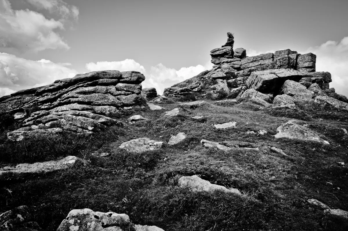
Hookney Tor
Mountains & hills · 0.5 km

Tinners heap
Historic houses · 0.7 km

Bush Down
Mountains & hills · 1.0 km

Hameldown
Mountains & hills · 1.1 km

RAF Memorial
Memorials & monuments · 1.2 km

Deserted medieval settlement at Challacombe
Archaeological sites · 1.5 km

Birch Tor
Mountains & hills · 1.5 km

Medieval Village of Challacombe
Historic houses · 1.5 km
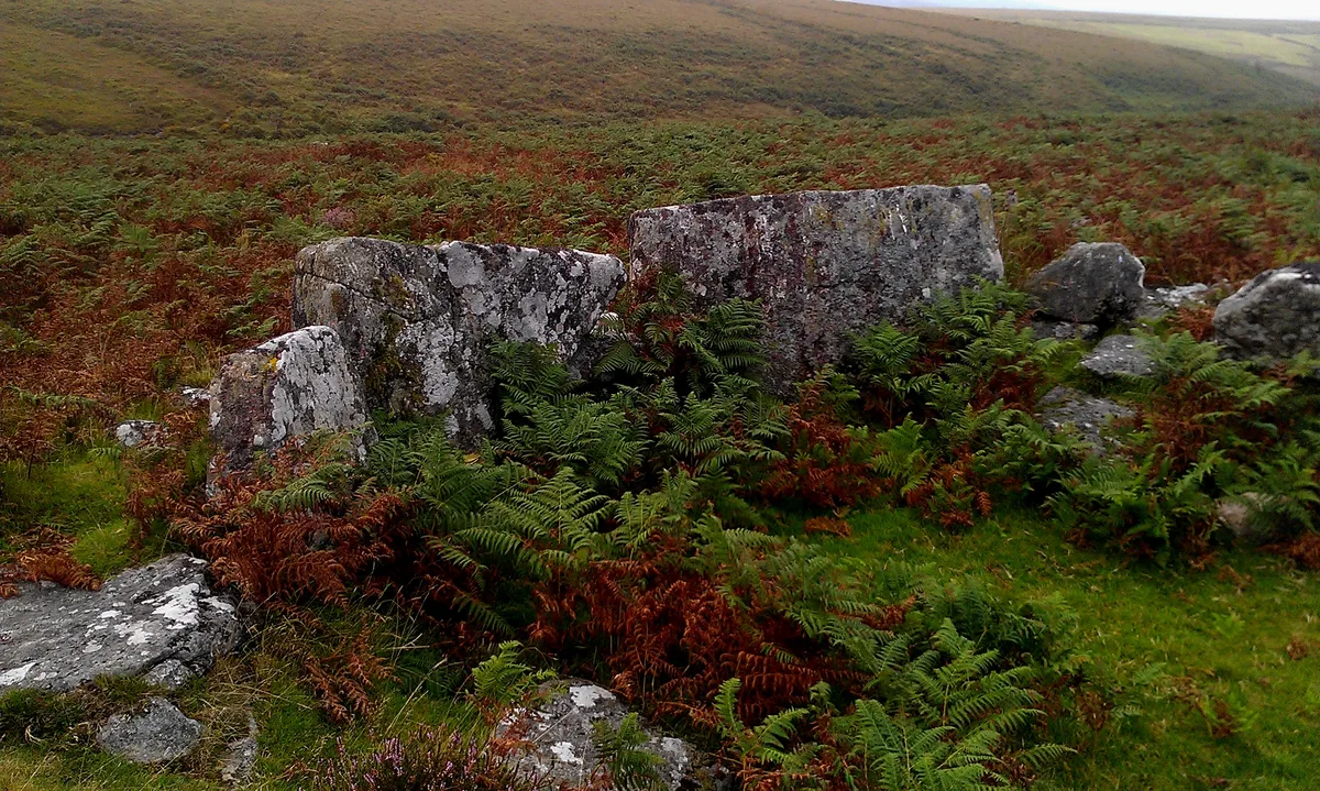
Prehistoric settlements, fields and enclosures within the Shapley Common coaxial field system, 770m south of Challacombe Cross
Archaeological sites · 1.5 km

Beehive Hut (Remains)
Historic houses · 1.8 km

Engine Mountings
Historic houses · 1.8 km
Ruined Pub
Historic houses · 1.8 km
Nearby
📷 5Mountains & hills · South West England
Hookney Tor
Hookney Tor — Named summit at 497 m.
📷 3Historic houses · South West England
Tinners heap
Tinners heap — a historic house in england-south-west, United Kingdom.
📷 5Mountains & hills · South West England
Bush Down
Bush Down — a hill or mountain in england south west.
📷 5Mountains & hills · South West England
Hameldown
Hameldown — a hill or mountain in england south west.
📷 3Memorials & monuments · South West England
RAF Memorial
RAF Memorial — a memorial in england-south-west, United Kingdom.
📷 5Archaeological sites · South West England
Deserted medieval settlement at Challacombe
Deserted medieval settlement at Challacombe — archaeological site in Manaton, Teignbridge, England, UK.
Where to eat & stay near Grimspound
Places to stay
 📷 5
📷 5Campsites · South West England
Runnage Farm Campsite
Runnage Farm Campsite — a campsite in england south west.
 📷 5
📷 5Hostels · South West England
Dartmoor Expedition Centre
Dartmoor Expedition Centre — a hostel in england south west.
 📷 5
📷 5Hotels · South West England
Bovey Castle
Bovey Castle — a hotel in england south west.
 📷 5
📷 5Campsites · South West England
Longhouse Barn, Dartmoor.
Longhouse Barn, Dartmoor. — a campsite in england south west.
 📷 5
📷 5 📷 5
📷 5Hostels · South West England
YHA Dartmoor Hostel Bellever
YHA Dartmoor Hostel Bellever — a hostel in england south west.
Places to eat & drink
 📷 7
📷 7Historic pubs · South West England
Warren House Inn
Warren House Inn in England South West, United Kingdom.
 📷 5
📷 5 📷 5
📷 5Historic pubs · South West England
The Victoria Inn
The Victoria Inn in England South West, United Kingdom.
 📷 7
📷 7Historic pubs · South West England
Royal Oak Public House
Royal Oak Public House in England South West, United Kingdom.
 📷 7
📷 7 📷 5
📷 5Historic pubs · South West England
The Oxenham Arms
The Oxenham Arms in England South West, United Kingdom.
More places run by English Heritage
 Flagship📷 10
Museums · London
Kenwood House
Kenwood House — art museum and historic house in Hampstead, London.
 📷 5
📷 5Galleries · London
Apsley House
Apsley House — London townhouse of the Dukes of Wellington.
 📷 5
📷 5Castles · London
Eynsford Castle
Eynsford Castle — castle, now ruinous, in Eynsford, Kent, England, UK.
 📷 5
📷 5Museums · London
Jewel Tower
Jewel Tower — medieval tower in Westminster, London, England, UK.
More places in this region
 Flagship📷 10
Hill forts · South West England
Maiden Castle
Maiden Castle — Iron Age hill fort in Dorset, England, UK.
 📷 5
📷 5Hill forts · South West England
All Cannings Cross
All Cannings Cross — archaeological site in All Cannings, Wiltshire, England, UK.
 📷 5
📷 5Hill forts · South West England
Aquae Sulis
Aquae Sulis — town in Roman Britain on the site of Bath, England.
 📷 5
📷 5Hill forts · South West England
Aston Valley Barrow Cemetery
Aston Valley Barrow Cemetery — group of Bronze Age burial mounds in England.
Frequently asked questions
- Where is Grimspound?
- Grimspound is in Devon, South-West England, United Kingdom (postcode PL20 6TB), in the parish of North Bovey.
- What is Grimspound?
- Grimspound — archaeological site in Manaton, Teignbridge, Devon, England, UK.
- How do I get to Grimspound?
- Drivers can use postcode PL20 6TB.
- Who runs Grimspound?
- Grimspound is operated by English Heritage.
- Is Grimspound a listed building?
- Grimspound is officially recognised as scheduled monument listed.
- Is Grimspound a protected site?
- Yes — Grimspound is part of the East Dartmoor SSSI Site of Special Scientific Interest.
- Is Grimspound free to visit?
- Yes, Grimspound is free to enter.
- How do I get to Grimspound?
- Drivers can navigate to postcode PL20 6TB. It sits within the Central Devon parliamentary constituency.