
Beaches · Scottish Islands
Port Stoth
Port Stoth is a beach in the United Kingdom.

Wikimedia Commons contributors — see linked file page for photographer and licence licence
Plan your visit
- Typical visit
- 1 h–3 h
- Best time of year
- Summer (Jun–Aug)
- Free entry
- Family-friendly
- Dog-friendly
About
Port Stoth is a named beach on the United Kingdom coastline. Coordinates: 58.5110°, -6.2534°. This entry is part of The Great Britain Guide, a free, ad-free, open-data tourist directory.
Photo gallery
From the Wikipedia article
Port Stoth, known locally as Stoth and pronounced Stow, is a sheltered inlet just southeast of the Butt of Lewis in the Outer Hebrides, Scotland. It is the most northerly landing in the Outer Hebrides. A track leads down to a slipway which runs across the sandy beach. Port Stoth is about 400 yards (370 m) from the Butt of Lewis Lighthouse. All the materials for the construction of the lighthouse (between 1859 and 1862) were brought by ship and landed in Port Stoth, due to lack of road infrastructure. The port continued to play an important role in bringing supplies to the lighthouse until about 1960. Supplies and fuel were brought in small cargo vessels when the weather allowed, and were unloaded in Port Stoth by crane. The concrete base still remains, as does a brick storage building. There is a brick building to the North side of Stoth where shellfish was landed and there are the remains of a hoist fixed to the shore below.
Excerpt from Wikipedia under CC BY-SA 4.0. See the source article linked in Sources below.
- Coordinates
- 58.5110, -6.2534
- District
- Na h-Eileanan Siar
- Postcode
- HS2 0XG
- Parliamentary constituency
- Na h-Eileanan an Iar
Sources
- osm: w126548845 (ODbL)
- wikipedia: Port Stoth (CC BY-SA 4.0)
- commons: Port Stoth - geograph.org.uk - 1345500.jpg (CC BY-SA 4.0)
Other places nearby
Loading nearby places…
Nearby
 📷 5
📷 5Historic churches · Scottish Islands
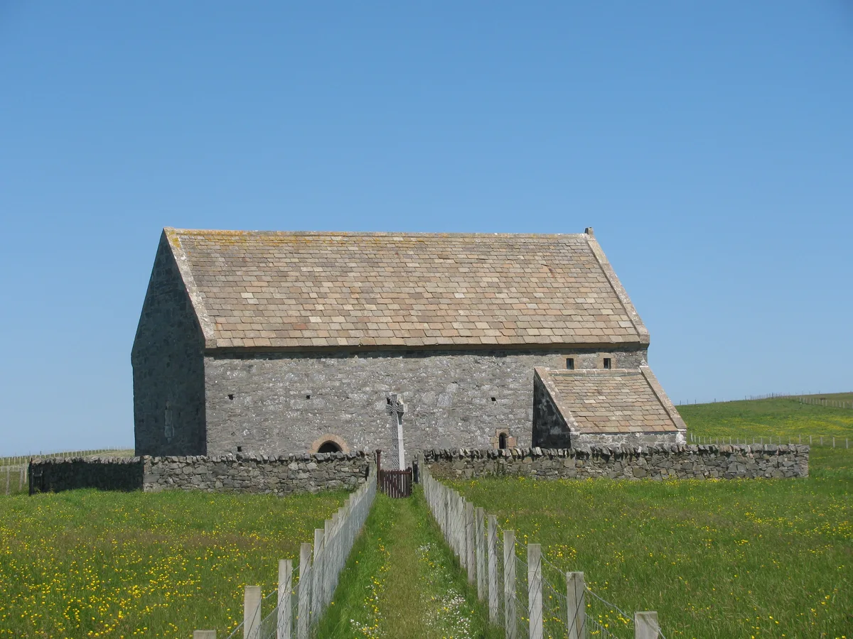
Teampull Ronaidh,chapel
Teampull Ronaidh,chapel — scheduled monument-listed church in scotland-islands, United Kingdom.
 📷 3
📷 3Lighthouses · Scottish Islands
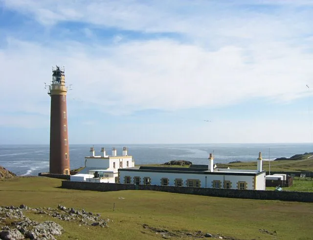
Butt of Lewis Lighthouse
Butt of Lewis Lighthouse — lighthouse in Outer Hebrides, Scotland, UK.
 📷 5
📷 5Lighthouses · Scottish Islands
Butt of Lewis
Butt of Lewis in Scotland Islands, United Kingdom.
 📷 3
📷 3Historic churches · Scottish Islands
Teampall Mholuaidh
Teampall Mholuaidh — church in Outer Hebrides, Scotland, UK.
 📷 5
📷 5Parks · Scottish Islands
Eoropie
Eoropie in Scotland Islands, United Kingdom.
 📷 5
📷 5Islands · Scottish Islands
Fivepenny
Fivepenny in Scotland Islands, United Kingdom.
Where to eat & stay near Port Stoth
Places to stay


More beaches in this region
 📷 3
📷 3Beaches · Scottish Islands
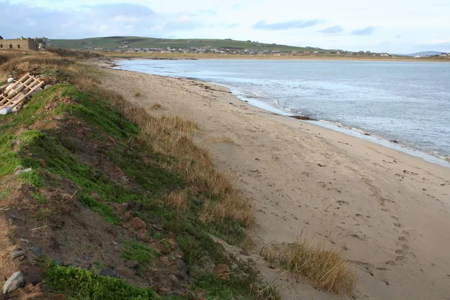
Ayre of Banks
Ayre of Banks is a beach in the United Kingdom.
 📷 3
📷 3Beaches · Scottish Islands
Ayre of Cara
Ayre of Cara — cape in Orkney Islands, Scotland, UK.
 📷 3
📷 3Beaches · Scottish Islands
Ayre of Hamnavoe
Ayre of Hamnavoe is a beach in the United Kingdom.
 📷 3
📷 3Beaches · Scottish Islands
Bain's Beach
Bain's Beach is a beach in the United Kingdom.
Frequently asked questions
- Where is Port Stoth?
- Port Stoth is in the Scottish Islands, United Kingdom (postcode HS2 0XG).
- What is Port Stoth?
- Port Stoth is a beach in the United Kingdom.
- How do I get to Port Stoth?
- Drivers can use postcode HS2 0XG.
- Is Port Stoth free to visit?
- Yes, Port Stoth is free to enter.
- How do I get to Port Stoth?
- Drivers can navigate to postcode HS2 0XG. It sits within the Na h-Eileanan an Iar parliamentary constituency.