Parks · Scottish Islands
Eoropie
Also known as: Eórapaidh
Eoropie in Scotland Islands, United Kingdom.

Colin Smith — CC BY-SA 2.0 via Wikimedia Commons licence
Plan your visit
- Typical visit
- 1 h–2 h
- Free entry
- Family-friendly
- Dog-friendly
About
Eoropie is a place of interest in Scotland Islands, United Kingdom — drawn from open-data sources for visitor reference. See the linked Wikipedia article for the full description.
Photo gallery
From the Wikipedia article
Eoropie (Scottish Gaelic: Eòrapaidh) is the most northerly village on the Isle of Lewis in the parish of Ness, in the Outer Hebrides, Scotland. Eoropie is within the parish of Barvas. The Teampull Mholuaidh is found here. Eoropie is situated at the end of the B8013 and B8014 roads, from Lionel and Port of Ness, respectively. It is just south of the Butt of Lewis and contains the Eoropie Dunes Park.
Excerpt from Wikipedia under CC BY-SA 4.0. See the source article linked in Sources below.
- Coordinates
- 58.5030, -6.2664
- District
- Na h-Eileanan Siar
- Postcode
- HS2 0XH
- Parliamentary constituency
- Na h-Eileanan an Iar
Sources
Other places nearby
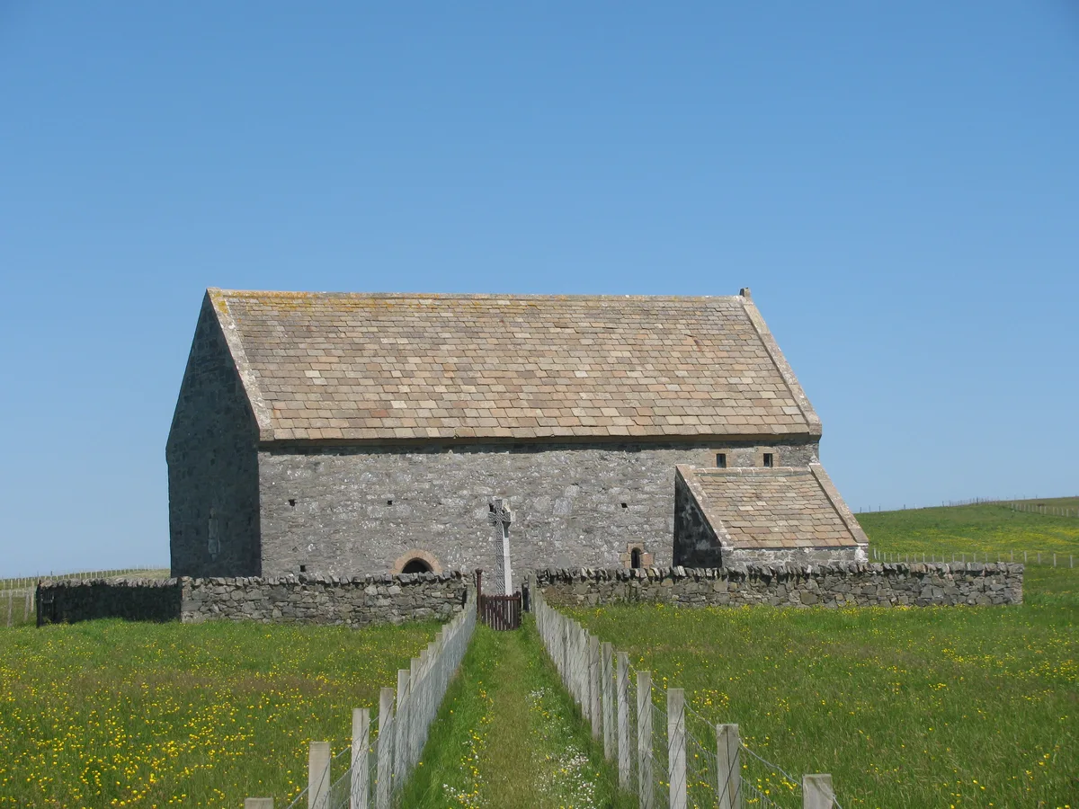
Teampall Mholuaidh
Historic churches · 0.4 km

Cunndal Memorial
Memorials & monuments · 0.4 km

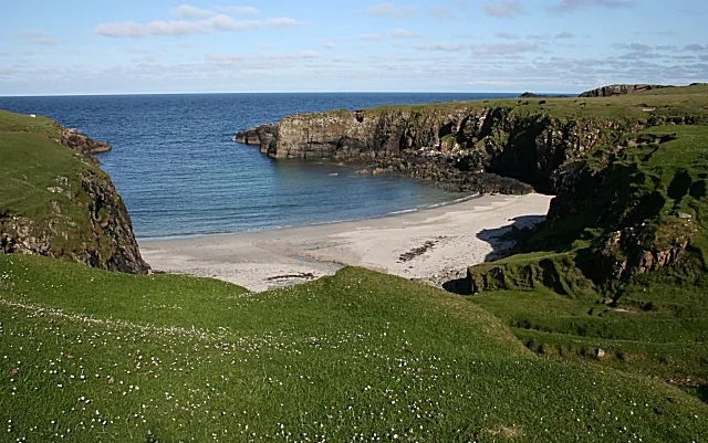
Tràigh Shanndaidh
Beaches · 0.6 km

Teampull Ronaidh,chapel
Historic churches · 0.8 km

Fivepenny
Islands · 1.1 km
Port Stoth
Beaches · 1.2 km

Luchruban, Hermitage
Archaeological sites · 1.2 km

Observatory
Viewpoints · 1.4 km

Butt of Lewis
Lighthouses · 1.4 km
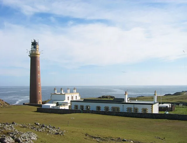
Butt of Lewis Lighthouse
Lighthouses · 1.4 km

Teampull Pheadair,church,Swainbost
Historic churches · 1.4 km
Swainbost Standing Stone
Stone circles · 1.6 km
Nearby
📷 3Historic churches · Scottish Islands
Teampall Mholuaidh
Teampall Mholuaidh — church in Outer Hebrides, Scotland, UK.
📷 3Memorials & monuments · Scottish Islands
Cunndal Memorial
Cunndal Memorial — a memorial in scotland-islands, United Kingdom.
📷 3Beaches · Scottish Islands
Tràigh Shanndaidh
Tràigh Shanndaidh is a beach in the United Kingdom.
📷 5Historic churches · Scottish Islands
Teampull Ronaidh,chapel
Teampull Ronaidh,chapel — scheduled monument-listed church in scotland-islands, United Kingdom.
📷 5📷 4Where to eat & stay near Eoropie
Places to stay
 📷 5
📷 5Hotels · Scottish Islands
Borve Country House Hotel
Borve Country House Hotel — a hotel in scotland highlands.
📷 5Campsites · Scottish Islands
Bothag Bhuirgh Camping and Pods
Bothag Bhuirgh Camping and Pods — a campsite in scotland highlands.
More parks in this region
 📷 4
📷 4 📷 4
📷 4Frequently asked questions
- Where is Eoropie?
- Eoropie is in the Scottish Islands, United Kingdom (postcode HS2 0XH).
- What is Eoropie?
- Eoropie in Scotland Islands, United Kingdom.
- How do I get to Eoropie?
- Drivers can use postcode HS2 0XH.
- Is Eoropie free to visit?
- Yes, Eoropie is free to enter.
- How do I get to Eoropie?
- Drivers can navigate to postcode HS2 0XH. It sits within the Na h-Eileanan an Iar parliamentary constituency.