Hill forts · North East England
Planetrees
In or near Acomb.
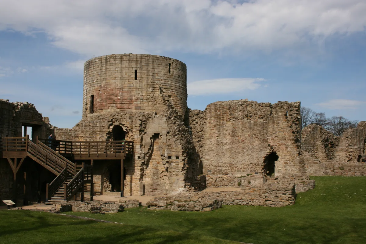
Planetrees — section of Hadrian's Wall in north England.

Wikimedia Commons contributors — see linked file page for photographer and licence licence
Plan your visit
- Typical visit
- 1 h–2 h
- Nearest railway station
- Hexham · 5.4 km
- Free entry
- Family-friendly
- Dog-friendly
- Limited wheelchair access
About
Planetrees is a hill fort in the United Kingdom. Owned by English Heritage. Managed by English Heritage. Part of Hadrian's Wall. Wikidata describes it as: "section of Hadrian's Wall in north England". Coordinates: 55.0210°, -2.1125°.
Photo gallery
See it from the streetimagery from 2022
Imagery © Mapillary contributors, CC BY-SA 4.0
Official information
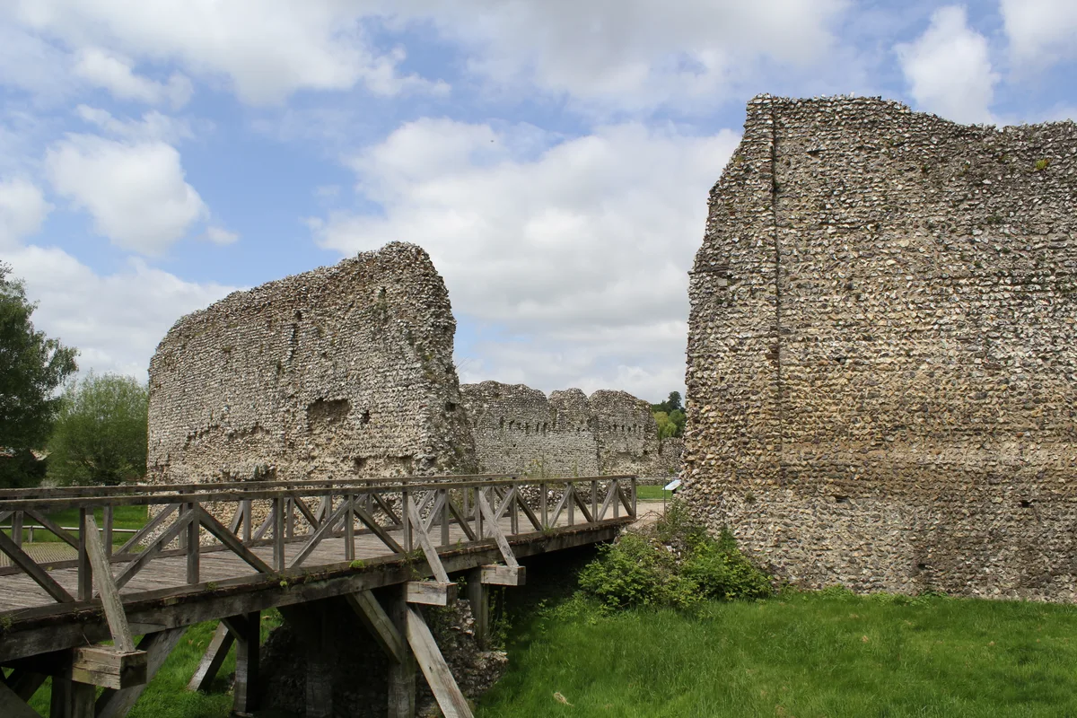
Planetrees features a preserved 35-metre section of Hadrian's Wall, showcasing a significant change in its construction plan. Visitors can explore this historical site and enjoy a scenic walk along the Chesters Roman Trail, which includes various Roman remains and structures.
From the Wikipedia article
Planetrees is an extant section of Hadrian's Wall named after the farm located around 250 metres (270 yd) to the west. The surviving section is 35 metres (115 ft) in length.
Excerpt from Wikipedia under CC BY-SA 4.0. See the source article linked in Sources below.
Background
Architecture
The eastern part of the surviving section (approximately 20 m in length) is built as Broad Wall, 10 Roman Feet wide. The eastern section (approximately 15 m in length is built as Narrow Wall, 8 Roman Feet wide, yet still on foundations clearly installed for a Broad Wall. The join is archeologically interesting, as it suggests a change in plan during construction. Also present on the narrow wall stretch is a culvert. The stones forming the culvert cross the whole width of the foundation (built for the broad wall), suggesting that the culverts were constructed at the same time as the foundations, rather than along with the curtain wall.
Sourced from Wikipedia under CC BY-SA 4.0.
- Coordinates
- 55.0210, -2.1125
- District
- Northumberland
- Parish
- Wall
- Postcode
- NE46 4EQ
- Parliamentary constituency
- Hexham
- Phone
- 0370 333 1181
- Nearest railway station
- Hexham — 5.4 km
- Opening
- Open any reasonable time during daylight hours
- Official site
- www.english-heritage.org.uk
Sources
- wikidata: Q7201267 (CC0)
- wikipedia: Planetrees (Hadrian's Wall section) (CC BY-SA 4.0)
- commons: Roman Wall at Planetrees - geograph.org.uk - 102078.jpg (CC BY-SA 4.0)
Other places nearby

Planetrees Roman Wall
Archaeological sites · 0.0 km

Milecastle 26
Archaeological sites · 0.2 km

Wall
Castles · 0.3 km

Brunton Bank Quarry
Wildlife reserves · 0.3 km

Battle of Heavenfield (AD 635)
Forts · 0.7 km

Medieval cross, 400m south east of Crag House
Historic houses · 0.7 km

Battle of Heavenfield
Memorials & monuments · 0.8 km

Brunton Turret (26B)
Archaeological sites · 0.8 km

A6079 road
Natural landmarks · 1.0 km

Fallowfield
Vineyards · 1.1 km

Defended settlement on Wall Crags
Vineyards · 1.1 km

Low Brunton
Other places · 1.1 km
Nearby
📷 3Archaeological sites · North East England
Planetrees Roman Wall
Planetrees Roman Wall — a archaeological in scotland-lowlands, United Kingdom.
📷 4Archaeological sites · North East England
Milecastle 26
Milecastle 26 in England North East, United Kingdom.
📷 5📷 3Wildlife reserves · North East England
Brunton Bank Quarry
Brunton Bank Quarry in England North East, United Kingdom.
📷 3Forts · North East England
Battle of Heavenfield (AD 635)
Battle of Heavenfield (AD 635) is a fort in the United Kingdom.
📷 3Historic houses · North East England
Medieval cross, 400m south east of Crag House
Medieval cross, 400m south east of Crag House — a Grade II*-listed historic house in scotland-lowlands, United Kingdom.
Where to eat & stay near Planetrees
Places to stay
 📷 7
📷 7Hotels · North East England
George Hotel
George Hotel — a hotel in scotland lowlands.
 📷 5
📷 5Campsites · North East England
Fallowfield Caravan Park
Fallowfield Caravan Park — a campsite in scotland lowlands.
 📷 5
📷 5Caravan parks · North East England
Riverside Leisure Holiday Park
Riverside Leisure Holiday Park — a caravan park in scotland lowlands.
 📷 5
📷 5Campsites · North East England
Greencarts Campsite
Greencarts Campsite — a campsite in scotland lowlands.
 📷 5
📷 5Caravan parks · North East England
Tyne Green Holiday Park
Tyne Green Holiday Park — a caravan park in scotland lowlands.
 📷 5
📷 5B&Bs · North East England
The Station Inn
The Station Inn — a bed-and-breakfast in scotland lowlands.
Places to eat & drink
 📷 6
📷 6 📷 5
📷 5 📷 7
📷 7Historic pubs · North East England
The Vicars Pele
The Vicars Pele in Scotland Lowlands, United Kingdom.
 📷 7
📷 7Historic pubs · North East England
Anchor Hotel
Anchor Hotel in Scotland Lowlands, United Kingdom.
 📷 5
📷 5Historic pubs · North East England
Travellers' Rest Inn
Travellers' Rest Inn in Scotland Lowlands, United Kingdom.
 📷 5
📷 5Historic pubs · North East England
Wellington Inn
Wellington Inn in Scotland Lowlands, United Kingdom.
More places run by English Heritage
 Flagship📷 10
Museums · London
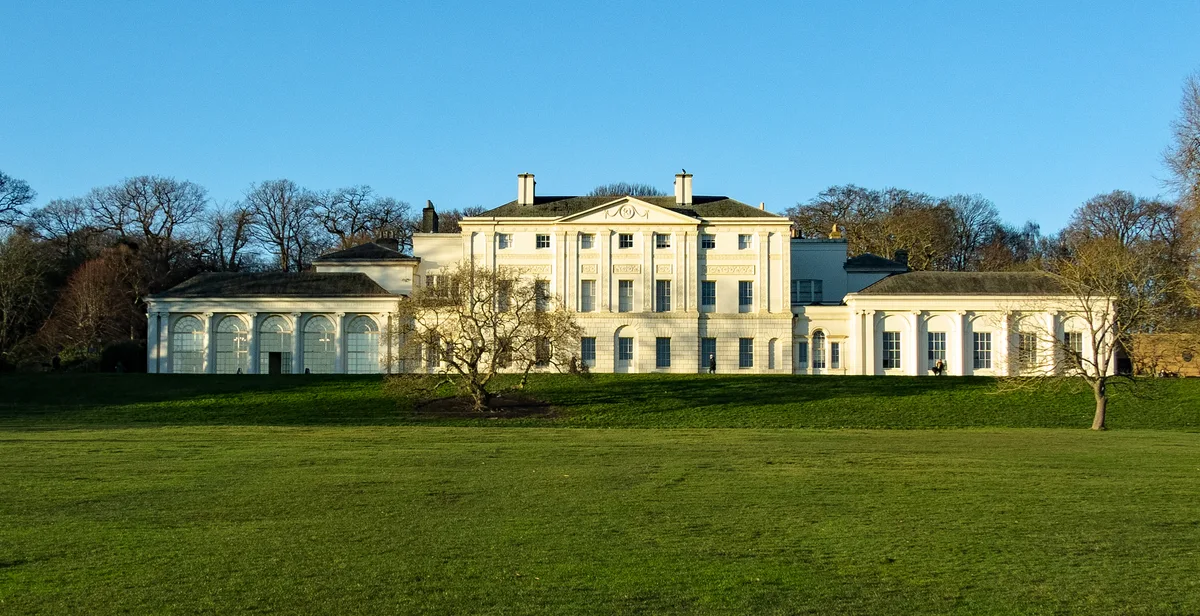
Kenwood House
Kenwood House — art museum and historic house in Hampstead, London.
 📷 5
📷 5Galleries · London
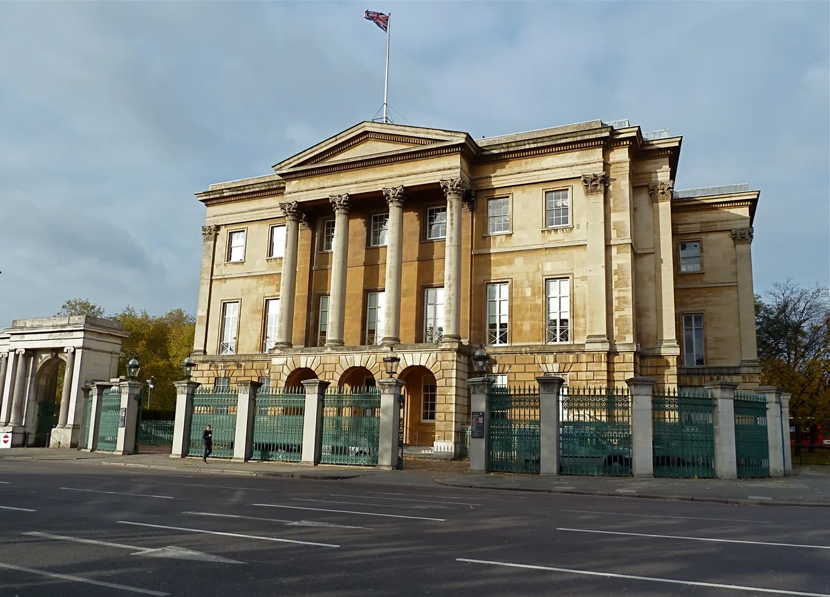
Apsley House
Apsley House — London townhouse of the Dukes of Wellington.
 📷 5
📷 5Castles · London
Eynsford Castle
Eynsford Castle — castle, now ruinous, in Eynsford, Kent, England, UK.
 📷 5
📷 5Museums · London
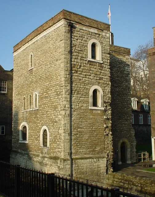
Jewel Tower
Jewel Tower — medieval tower in Westminster, London, England, UK.
More places in this region
 📷 3
📷 3Hill forts · North East England
Barnard Castle
Barnard Castle is a hill fort in the United Kingdom.
 📷 3
📷 3Hill forts · North East England
Stainsby
Stainsby — abandoned village in North Yorkshire, England, UK.
 📷 4
📷 4Hill forts · North East England
Street House Anglo-Saxon cemetery
Street House Anglo-Saxon cemetery — cemetery in North Yorkshire, England.
 📷 3
📷 3Hill forts · North East England
Pittington Hill
Pittington Hill in England North East, United Kingdom.
Frequently asked questions
- Where is Planetrees?
- Planetrees is in the Scottish Lowlands, United Kingdom (postcode NE46 4EQ), in the parish of Wall.
- What is Planetrees?
- Planetrees — section of Hadrian's Wall in north England.
- How do I get to Planetrees?
- The nearest railway station is Hexham, about 5.4 km away. Drivers can use postcode NE46 4EQ.
- Who runs Planetrees?
- Planetrees is operated by English Heritage.
- Is Planetrees free to visit?
- Yes, Planetrees is free to enter.
- How do I get to Planetrees?
- The nearest railway station is Hexham, about 5.4 km away. Drivers can navigate to postcode NE46 4EQ.