
Mountains & hills · West Midlands
Pike Low
In or near Rainow.
Pike Low — mountain in england west midlands. Elevation: 380 m.

Peter Turner — CC BY-SA 2.0 via Wikimedia Commons licence

Plan your visit
- Typical visit
- 3 h–8 h
- Best time of year
- Late spring – early autumn (May–Oct)
- Nearest railway station
- Macclesfield · 5.8 km
- Dog-friendly
About
Pike Low is a mountain located in england west midlands. Elevation: 380 m. A named British peak recorded in OpenStreetMap. Peaks are typically named on Ordnance Survey 1:50k mapping.
Photo gallery
Place summary
Pike Low is a mountain located in the West Midlands. It is known for its distinctive topography and offers various walking trails for hikers. The area provides scenic views and a range of natural habitats, making it a suitable destination for outdoor enthusiasts. The surrounding landscape features typical West Midlands flora and fauna.
AI-generated from the structured facts on this page (operator, designation, listing, era). Not a substitute for visiting.
- Coordinates
- 53.2886, -2.0506
- District
- Cheshire East
- Parish
- Rainow
- Postcode
- SK10 5XJ
- Parliamentary constituency
- Macclesfield
- Nearest railway station
- Macclesfield — 5.8 km
Sources
- osm: n3465506443 (ODbL)
Other places nearby

Waggonshaw Brow
Mountains & hills · 0.8 km

Yearns Low
Mountains & hills · 1.0 km

Big Low
Mountains & hills · 1.0 km

Standing stone at Ginclough 400m WSW of Gin Clough Farm
Windmills · 1.3 km

Billinge Hill
Mountains & hills · 1.4 km

Billinge Hill
Mountains & hills · 1.6 km
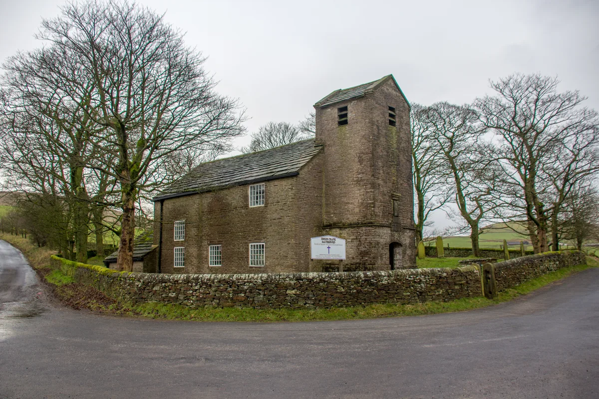
Jenkin Chapel
Historic churches · 1.7 km

Rainow
Towns & cities · 1.7 km

Holy Trinity Church, Rainow
Historic churches · 1.8 km

Lamaload Reservoir
Reservoirs & lochs · 1.9 km
Rainow Bridge
Historic bridges · 2.0 km

Brink Brow
Mountains & hills · 2.1 km
Nearby
📷 5Mountains & hills · West Midlands
Waggonshaw Brow
Waggonshaw Brow — a hill or mountain in england west midlands.
📷 5Mountains & hills · West Midlands
Yearns Low
Yearns Low — mountain in england west midlands. Elevation: 360 m.
📷 5Mountains & hills · West Midlands
Big Low
Big Low — mountain in england west midlands. Elevation: 330 m.
📷 5Windmills · West Midlands
Standing stone at Ginclough 400m WSW of Gin Clough Farm
Standing stone at Ginclough 400m WSW of Gin Clough Farm — a post mill in england-west-midlands, United Kingdom.
📷 5Mountains & hills · West Midlands
Billinge Hill
Billinge Hill — a hill or mountain in england west midlands.
📷 5Mountains & hills · West Midlands
Billinge Hill
Billinge Hill — mountain in england west midlands. Elevation: 320 m.
Where to eat & stay near Pike Low
Places to stay
 📷 5
Hotels · West Midlands
Hollin House Hotel
Hollin House Hotel — a hotel in england west midlands.
 📷 5
Caravan parks · Yorkshire & the Humber
Eastwood End Holiday Park
Eastwood End Holiday Park — a caravan park in england west midlands.
 📷 5
Caravan parks · Yorkshire & the Humber
Elm Beds Caravan Park
Elm Beds Caravan Park — a caravan park in england west midlands.
 📷 5
Caravan parks · East Midlands
Ringstones Caravan Park
Ringstones Caravan Park — a caravan park in england east midlands.
 📷 5
Campsites · East Midlands
Cold Springs Farm Campsite
Cold Springs Farm Campsite — a campsite in england east midlands.
 📷 5
Campsites · East Midlands
Combs Valley Campsite
Combs Valley Campsite — a campsite in england east midlands.
Places to eat & drink
 📷 7
Historic pubs · North West England
George Hotel Public House
George Hotel Public House in England North West, United Kingdom.
 📷 5
Historic pubs · North West England
2 and 4, Market Place
2 and 4, Market Place in England North West, United Kingdom.
 📷 5
Historic pubs · North West England
The Castle, Macclesfield
The Castle, Macclesfield in England North West, United Kingdom.
 📷 5
Historic pubs · North West England
Bate Hall Public House
Bate Hall Public House in England North West, United Kingdom.
 📷 5
Historic pubs · East Midlands
Cat and Fiddle Inn
Cat and Fiddle Inn in England South East, United Kingdom.
 📷 5
Historic pubs · North West England
Lord Byron Public House
Lord Byron Public House in England North West, United Kingdom.
More mountains in this region
 📷 5
Mountains & hills · West Midlands
Stile Cop
Stile Cop — mountain in england east midlands. Elevation: 219 m.
 📷 5
Mountains & hills · West Midlands
Rawnsley Hill
Rawnsley Hill — mountain in england east midlands. Elevation: 237 m.
 📷 5
Mountains & hills · West Midlands
Hound Hill
Hound Hill — mountain in england east midlands. Elevation: 98 m.
 📷 5
Frequently asked questions
- Where is Pike Low?
- Pike Low is in the West Midlands, United Kingdom (postcode SK10 5XJ), in the parish of Rainow.
- What is Pike Low?
- Pike Low — mountain in england west midlands. Elevation: 380 m.
- How do I get to Pike Low?
- The nearest railway station is Macclesfield, about 5.8 km away. The nearest town is Rainow. Drivers can use postcode SK10 5XJ.
- How do I get to Pike Low?
- The nearest railway station is Macclesfield, about 5.8 km away. Drivers can navigate to postcode SK10 5XJ.