
Reservoirs & lochs · West Midlands
Lamaload Reservoir
In or near Rainow.
Lamaload Reservoir — reservoir in Cheshire, England, UK.

Wikimedia Commons contributors — see linked file page for photographer and licence licence

Plan your visit
- Typical visit
- 1 h–2.5 h
- Nearest railway station
- Macclesfield · 5.4 km
- Free entry
- Dog-friendly
Getting there & planning your visit
To visit Lamaload Reservoir, the nearest railway station is Macclesfield, located 5.4 km away. Entry to the reservoir is free.
About
Lamaload Reservoir is a reservoir in the United Kingdom. Wikidata describes it as: "reservoir in Cheshire, England, UK". Coordinates: 53.2720°, -2.0434°.
Photo gallery
From the Wikipedia article
Lamaload Reservoir is a reservoir near Rainow, Cheshire, England (SJ972750). It lies in the South West Peak within the Peak District National Park, to the west of the Goyt Valley, and is fed by the River Dean. The reservoir is 0.93 km × 0.53 km, with a capacity of 1,909,000 m³, impounded by a multiple-arch, round-headed buttress dam in concrete, whose design was innovative at the time. It was built by Richard Costain Ltd in 1959–63 to serve Macclesfield, which lies to its west, and officially opened in 1965. The reservoir and associated water treatment works are owned by United Utilities. The area is a popular tourist spot, forming an access point for walkers to the surrounding moorland.
Excerpt from Wikipedia under CC BY-SA 4.0. See the source article linked in Sources below.
Background
History
Lamaload is first mentioned in 1519, and Lamaload Farm is documented as a mansion house in the late 16th century; it remained an active farm in the 20th century. Three Roman coins were discovered during the excavation of the reservoir. The idea of a reservoir at Lamaload was first suggested in 1919 by Herbert Lapworth. Plans to construct the reservoir were proposed in 1957 to alleviate water-supply problems of the town of Macclesfield. Lamaload was chosen because it was close to Macclesfield, with a sufficient elevation above the town that gravity would result in water flow without requiring pumping, and had a steeply cut valley with the potential to store a large volume of water. It was…
Description
Lamaload Reservoir () is roughly triangular in shape, around 0.93 km long and 0.53 km wide, with its long axis running broadly north–south. It lies 2.3 km southeast of Rainow, 308 metres above sea level, and is fed by the River Dean. The reservoir has a capacity of 1,909,000 m³, with a surface area of 16.765 hectares and a mean depth of 11.365 metres. The dam is at the north-west side. The underlying rock is Millstone grit and shales. The catchment area is 302 hectares. The reservoir is surrounded by moorland, broad-leaved woodland and plantations of larch and pine. The long axis of the reservoir lies parallel and to the west of Hooleyhey Lane; footpaths (Macclesfield Forest Footpaths…
Sourced from Wikipedia under CC BY-SA 4.0.
- Coordinates
- 53.2720, -2.0434
- District
- Cheshire East
- Parish
- Rainow
- Postcode
- SK10 5XP
- Parliamentary constituency
- Macclesfield
- Established
- 1959
- Nearest railway station
- Macclesfield — 5.4 km
Sources
- wikidata: Q6480790 (CC0)
- wikipedia: Lamaload Reservoir (CC BY-SA 4.0)
- commons: Lamaload Reservoir, Cheshire, UK.jpg (CC BY-SA 4.0)
Other places nearby

Ely Brow
Mountains & hills · 1.3 km

Waggonshaw Brow
Mountains & hills · 1.3 km

Yearns Low
Mountains & hills · 1.5 km

Pike Low
Mountains & hills · 1.9 km
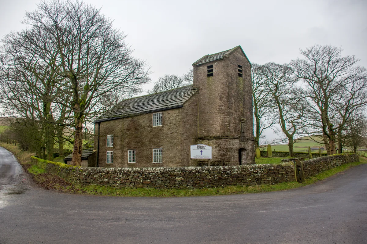
Jenkin Chapel
Historic churches · 2.0 km

Standing stone at Ginclough 400m WSW of Gin Clough Farm
Windmills · 2.1 km

Rainow
Towns & cities · 2.2 km

Brink
Mountains & hills · 2.2 km

Holy Trinity Church, Rainow
Historic churches · 2.3 km

Whitehills
Mountains & hills · 2.4 km
Rainow Bridge
Historic bridges · 2.4 km

Cats Tor
Mountains & hills · 2.5 km
Nearby
📷 5📷 5Mountains & hills · West Midlands
Waggonshaw Brow
Waggonshaw Brow — a hill or mountain in england west midlands.
📷 5Mountains & hills · West Midlands
Yearns Low
Yearns Low — mountain in england west midlands. Elevation: 360 m.
📷 5Mountains & hills · West Midlands
Pike Low
Pike Low — mountain in england west midlands. Elevation: 380 m.
📷 3Historic churches · West Midlands
Jenkin Chapel
Jenkin Chapel — Grade II* church in Rainow, Cheshire, England, UK.
📷 5Windmills · West Midlands
Standing stone at Ginclough 400m WSW of Gin Clough Farm
Standing stone at Ginclough 400m WSW of Gin Clough Farm — a post mill in england-west-midlands, United Kingdom.
Where to eat & stay near Lamaload Reservoir
Places to stay
 📷 5
📷 5Hotels · West Midlands
Hollin House Hotel
Hollin House Hotel — a hotel in england west midlands.
 📷 5
📷 5Caravan parks · Yorkshire & the Humber
Eastwood End Holiday Park
Eastwood End Holiday Park — a caravan park in england west midlands.
 📷 5
📷 5Campsites · East Midlands
Cold Springs Farm Campsite
Cold Springs Farm Campsite — a campsite in england east midlands.
 📷 5
📷 5Caravan parks · East Midlands
Ringstones Caravan Park
Ringstones Caravan Park — a caravan park in england east midlands.
 📷 5
📷 5Caravan parks · East Midlands
Buxton Caravan and Motorhome Club
Buxton Caravan and Motorhome Club — a caravan park in england east midlands.
 📷 5
📷 5Caravan parks · Yorkshire & the Humber
Elm Beds Caravan Park
Elm Beds Caravan Park — a caravan park in england west midlands.
Places to eat & drink
 📷 5
📷 5Historic pubs · East Midlands
Cat and Fiddle Inn
Cat and Fiddle Inn in England South East, United Kingdom.
 📷 7
📷 7Historic pubs · North West England
George Hotel Public House
George Hotel Public House in England North West, United Kingdom.
 📷 5
📷 5Historic pubs · North West England
2 and 4, Market Place
2 and 4, Market Place in England North West, United Kingdom.
 📷 5
📷 5Historic pubs · North West England
The Castle, Macclesfield
The Castle, Macclesfield in England North West, United Kingdom.
 📷 5
📷 5Historic pubs · North West England
Lord Byron Public House
Lord Byron Public House in England North West, United Kingdom.
 📷 5
📷 5Historic pubs · North West England
Bate Hall Public House
Bate Hall Public House in England North West, United Kingdom.
More places in this region
 📷 3
📷 3Reservoirs & lochs · West Midlands
Blithfield Reservoir
Blithfield Reservoir — reservoir in the United Kingdom.
 📷 3
📷 3Reservoirs & lochs · West Midlands
Blithfield Reservoir Walks
Blithfield Reservoir Walks — a place in West Midlands, United Kingdom.
 Flagship📷 3
Reservoirs & lochs · West Midlands
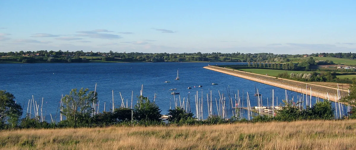
Draycote Water
Draycote Water — reservoir in the United Kingdom.
 Flagship📷 3
Reservoirs & lochs · West Midlands
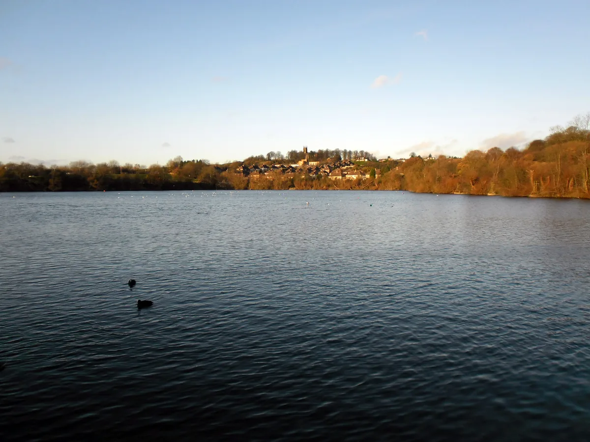
Netherton Reservoir
Netherton Reservoir — reservoir in West Midlands, England, UK.
Frequently asked questions
- Where is Lamaload Reservoir?
- Lamaload Reservoir is in the West Midlands, United Kingdom (postcode SK10 5XP), in the parish of Rainow.
- What is Lamaload Reservoir?
- Lamaload Reservoir — reservoir in Cheshire, England, UK.
- How do I get to Lamaload Reservoir?
- The nearest railway station is Macclesfield, about 5.4 km away. The nearest town is Rainow. Drivers can use postcode SK10 5XP.
- When was Lamaload Reservoir built?
- Built or established in 1959.
- Is Lamaload Reservoir free to visit?
- Yes, Lamaload Reservoir is free to enter.
- How do I get to Lamaload Reservoir?
- The nearest railway station is Macclesfield, about 5.4 km away. Drivers can navigate to postcode SK10 5XP.