
Historic houses · North West England
Peover Hall Stable Block
In or near Great Warford.
Peover Hall Stable Block — a Grade I-listed historic house in england-west-midlands, United Kingdom.

Stephen Craven — CC BY-SA 2.0 via Wikimedia Commons licence

Plan your visit
- Typical visit
- 1 h–2 h
- Nearest railway station
- Goostrey · 4.0 km
- Family-friendly
- Limited wheelchair access
Getting there & planning your visit
Peover Hall Stable Block is located in Cheshire East, postcode WA16 9HW. The nearest railway station is Goostrey, which is 4 km away. Entry has limited wheelchair accessibility.
About
Peover Hall Stable Block is a Grade I-listed building in england-west-midlands, United Kingdom. Grade I status is conferred by Historic England (or Cadw, Historic Environment Scotland or NIEA equivalents) on buildings of exceptional national interest. See the linked Wikipedia article for full historical and architectural details.
Photo gallery
From the Wikipedia article
Peover Hall Stable Block is in the grounds of Peover Hall, Cheshire, England. It is recorded in the National Heritage List for England as a designated Grade I listed building.
Excerpt from Wikipedia under CC BY-SA 4.0. See the source article linked in Sources below.
Background
History
The stable block was built in 1654 as a gift from Mrs Ellen Mainwaring to her son Thomas. A first floor was added to it in the early or middle part of the 18th century. A coach house was added to the right of the block in 1764, and an extension was added to the rear later in the century. On its left is a 20th-century addition.
Architecture
The block is in two storeys, and is built in red and plum-coloured brick with a slate roof and stone dressings. The brickwork is in English bond and the bricks in the upper storey are lighter in colour than those in the lower storey. The brickwork rests on a stone plinth, a string course runs between the storeys, and stone quoins are at the corners. The entrance door is in the centre and has a moulded stone surround. On the door lintel is an inscribed panel relating to the gift and its date. On each side of the door are three five-light windows with moulded stone surrounds and mullions. In the upper storey are three round pitch holes with plain stone surrounds. The rear extension consists…
Sourced from Wikipedia under CC BY-SA 4.0.
- Coordinates
- 53.2573, -2.3418
- District
- Cheshire East
- Parish
- Peover Superior and Snelson
- Postcode
- WA16 9HW
- Parliamentary constituency
- Tatton
- Nearest railway station
- Goostrey — 4 km
Sources
- wikidata: Q15265948 (CC0)
- wikipedia: Peover Hall Stable Block (CC BY-SA 4.0)
Other places nearby

Peover Hall
Manor houses · 0.1 km
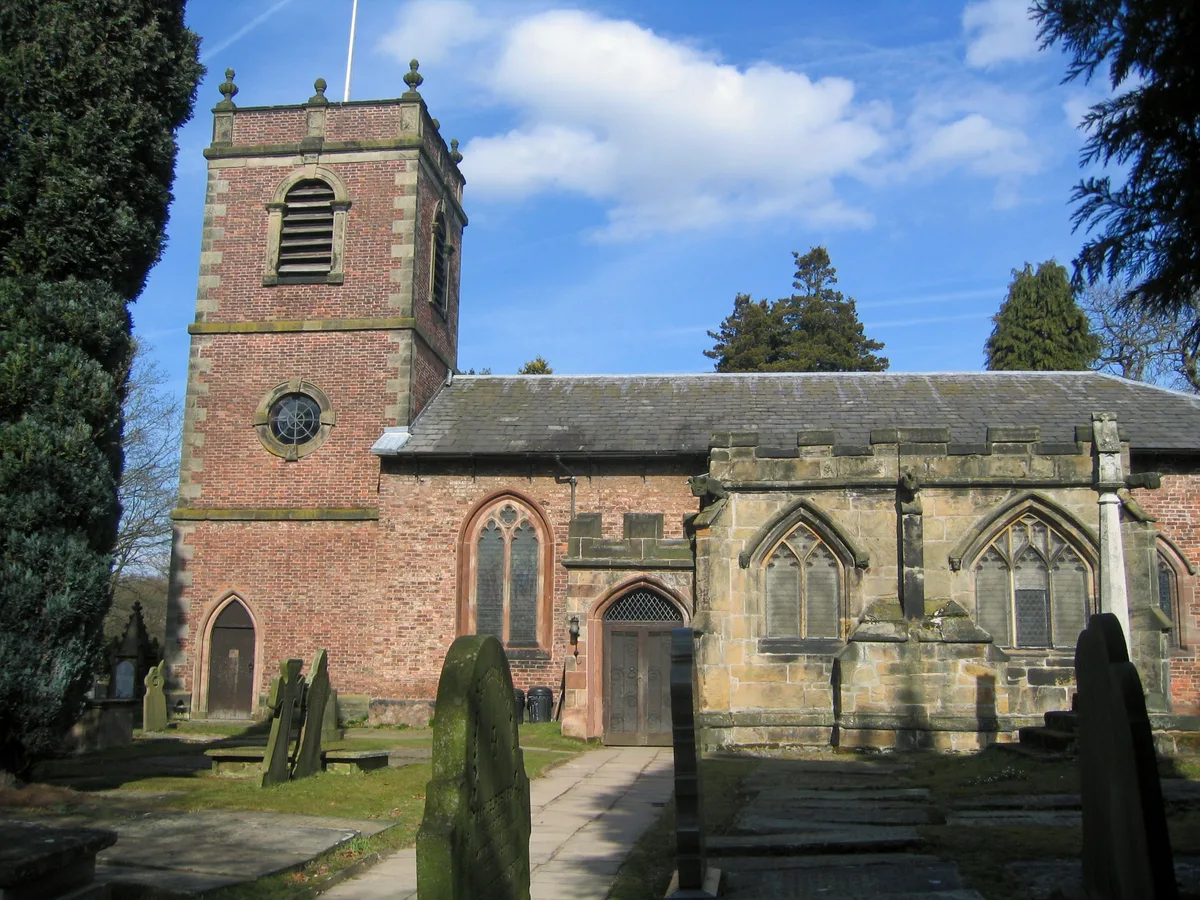
St Lawrence's Church, Over Peover
Historic churches · 0.1 km

Peover Superior
Museums · 0.9 km

Colshaw Hall
Historic houses · 1.3 km

Barclays Spreadeagle
Public art & sculpture · 1.5 km
Radbroke Hall
Historic houses · 1.6 km

Tree of Imagination
Natural landmarks · 2.9 km

St Oswald's Church, Lower Peover
Historic churches · 3.1 km

Lovell Telescope
Historic houses · 3.3 km
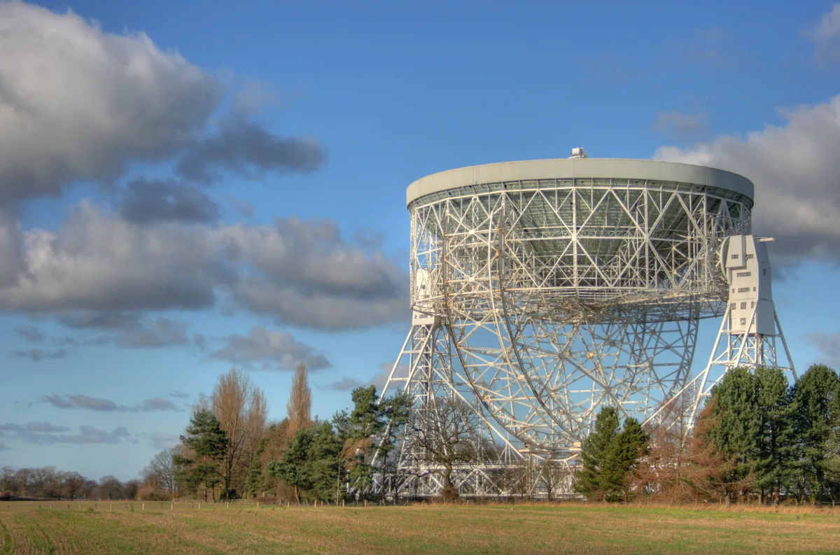
Jodrell Bank Observatory
UNESCO World Heritage · 3.3 km

Jodrell Bank Discovery Centre
Science centres · 3.3 km

Goostrey
Villages · 3.3 km
Nearby
📷 3Manor houses · North West England
Peover Hall
Peover Hall — a manor in england-west-midlands, United Kingdom.
📷 3Historic churches · North West England
St Lawrence's Church, Over Peover
St Lawrence's Church, Over Peover — church in Cheshire East, Cheshire, England, UK.
📷 5Museums · North West England
Peover Superior
Peover Superior — a museum in england-west-midlands, United Kingdom.
📷 4Historic houses · North West England
Colshaw Hall
Colshaw Hall — a Grade II*-listed historic house in england-west-midlands, United Kingdom.
📷 3Public art & sculpture · North West England
Barclays Spreadeagle
Barclays Spreadeagle — a public art in england-west-midlands, United Kingdom.
📷 3Historic houses · North West England
Radbroke Hall
Radbroke Hall — a Grade II*-listed historic house in england-west-midlands, United Kingdom.
Where to eat & stay near Peover Hall Stable Block
Places to stay
 📷 5
📷 5Caravan parks · North West England
Woodlands Park
Woodlands Park — a caravan park in england west midlands.
 📷 5
📷 5Caravan parks · North West England
Capesthorne Caravan Park
Capesthorne Caravan Park — a caravan park in england west midlands.
 📷 5
📷 5Campsites · North West England
Tatton Park Scout Campsite
Tatton Park Scout Campsite — a campsite in england west midlands.
 📷 5
📷 5Campsites · North West England
Yatehouse Farm Camping & Caravan Park
Yatehouse Farm Camping & Caravan Park — a campsite in england west midlands.
 📷 7
📷 7Hotels · North West England
The Bear's Head
The Bear's Head — a hotel in england west midlands.
 📷 5
📷 5Caravan parks · North West England
Pickmere Lake Caravan Park
Pickmere Lake Caravan Park — a caravan park in england west midlands.
Places to eat & drink
 📷 5
📷 5Historic pubs · North West England
Swettenham Arms
Swettenham Arms in England North West, United Kingdom.
 📷 5
📷 5Restaurants · North West England
The Churchill Tree
The Churchill Tree — a restaurant in england west midlands.
 📷 5
📷 5Historic pubs · North West England
George and Dragon, Great Budworth
George and Dragon, Great Budworth in England North West, United Kingdom.
 📷 5
📷 5Historic pubs · North West England
Harrington Arms
Harrington Arms in England North West, United Kingdom.
 📷 5
📷 5Historic pubs · North West England
Ship Inn, Styal
Ship Inn, Styal in England North West, United Kingdom.
 📷 5
📷 5Historic pubs · North West England
Old Hall Hotel, Sandbach
Old Hall Hotel, Sandbach in England North West, United Kingdom.
More historic houses in this region
 📷 3
📷 3Historic houses · North West England
116 Hospital Street, Nantwich
116 Hospital Street, Nantwich — substantial townhouse in Nantwich, Cheshire, England, UK.
 📷 3
📷 3Historic houses · North West England
140–142 Hospital Street, Nantwich
140–142 Hospital Street, Nantwich — grade II listed building in Nantwich, Cheshire East, Cheshire, England, UK.
 📷 3
📷 3Historic houses · North West England
46 High Street, Nantwich
46 High Street, Nantwich — house in Nantwich, Cheshire, England, UK.
 📷 3
📷 3Historic houses · North West England
64, St Ann's Road
64, St Ann's Road — Grade II* listed house in Middlewich, Cheshire East, England, UK.
Frequently asked questions
- Where is Peover Hall Stable Block?
- Peover Hall Stable Block is in the West Midlands, United Kingdom (postcode WA16 9HW), in the parish of Peover Superior and Snelson.
- What is Peover Hall Stable Block?
- Peover Hall Stable Block — a Grade I-listed historic house in england-west-midlands, United Kingdom.
- How do I get to Peover Hall Stable Block?
- The nearest railway station is Goostrey, about 4.0 km away. Drivers can use postcode WA16 9HW.
- Is Peover Hall Stable Block a listed building?
- Peover Hall Stable Block is officially recognised as Grade I listed.
- How do I get to Peover Hall Stable Block?
- The nearest railway station is Goostrey, about 4.0 km away. Drivers can navigate to postcode WA16 9HW.