
Hill forts · West Midlands
Pennocrucium
In or near Huntington.
Pennocrucium — archaeological site in Penkridge, South Staffordshire, England, UK.

Richard Law — CC BY-SA 2.0 via Wikimedia Commons licence

Plan your visit
- Typical visit
- 1 h–2 h
- Nearest railway station
- Penkridge · 3.7 km
- Free entry
- Dog-friendly
Getting there & planning your visit
To visit Pennocrucium, the nearest railway station is Penkridge, located 3.7 km away. The postcode for navigation is ST19 5QB, and entry is free.
About
Pennocrucium is a hill fort in the United Kingdom. Wikidata describes it as: "archaeological site in Penkridge, South Staffordshire, England, UK". Coordinates: 52.6940°, -2.1440°.
Photo gallery
See it from the streetimagery from 2019
Imagery © Mapillary contributors, CC BY-SA 4.0
From the Wikipedia article
Pennocrucium was a Romano-British settlement and military complex located at present day Water Eaton, just south of Penkridge, Staffordshire, with evidence of occupation from the mid-1st century until the 4th century. The settlement was mentioned in the 2nd century Antonine Itinerary, which described it as lying 12 miles from Uxacona (near present-day Oakengates) and 12 miles from Letocetum (Wall, near Lichfield). The exact site of Pennocrucium was identified only after aerial photography revealed cropmarks in 1946, and excavations were conducted by Kenneth St Joseph over subsequent years. Pennocrucium was an important road junction on Watling Street – the main Roman road across the Midlands to Viroconium Cornoviorum (Wroxeter) – and was situated 700 metres east of its crossing of the River Penk, with roads leading north to Mediolanum (Whitchurch) and south in the direction of Greensforge near Kinver and Metchley Fort in Birmingham. The main civilian defensive site or burgi was a rectangular enclosure approximately 450 feet (140 m) from north to south and 700 feet (210 m) from east to west, lying astride Watling Street and surrounded by three ditches. There may have been a civilian vicus around the defended settlement, possibly forming a ribbon development along Watling Street. 800 metres (2,600 ft) to the north east of the civilian settlement lay a large double-ditched enclosure identified as a possible Vexillation fortress, with two smaller forts lying 700 feet (210 m) south east of the settlement and 200 feet (60 m) north of Watling Street on the opposite bank of the Penk. Five single-ditched enclosures in the vicinity have been identified as temporary marching camps.
Excerpt from Wikipedia under CC BY-SA 4.0. See the source article linked in Sources below.
- Coordinates
- 52.6940, -2.1440
- County
- Staffordshire
- District
- South Staffordshire
- Parish
- Lapley, Stretton and Wheaton Aston
- Postcode
- ST19 5QB
- Parliamentary constituency
- Stone, Great Wyrley and Penkridge
- Nearest railway station
- Penkridge — 3.7 km
Sources
- wikidata: Q1752169 (CC0)
- wikipedia: Pennocrucium (CC BY-SA 4.0)
Other places nearby

Pennocrucium Roman Fort
Archaeological sites · 0.1 km
Eaton House Fort
Archaeological sites · 0.2 km
Stretton Mill Roman Fort
Archaeological sites · 0.7 km
Stretton Bridge Over River Penk
Historic bridges · 0.8 km

Gailey
Villages · 0.9 km

Kinvaston Roman Vexilliation Fortress
Archaeological sites · 1.0 km

Watling Street
Historic bridges · 1.1 km

Stretton
Villages · 1.7 km

Rodbaston Animal Zone
Zoos & aquariums · 1.7 km

Somerford Bridge
Historic bridges · 1.7 km
The Rural Enterprise Academy
Natural landmarks · 2.1 km

Bridge Over Brantley Pool
Historic bridges · 2.3 km
Nearby
📷 3Archaeological sites · West Midlands
Pennocrucium Roman Fort
Pennocrucium Roman Fort — a archaeological in england-west-midlands, United Kingdom.
📷 3Archaeological sites · West Midlands
Eaton House Fort
Eaton House Fort — a archaeological in england-west-midlands, United Kingdom.
📷 3Archaeological sites · West Midlands
Stretton Mill Roman Fort
Stretton Mill Roman Fort — a archaeological in england-west-midlands, United Kingdom.
📷 3Historic bridges · West Midlands
Stretton Bridge Over River Penk
Stretton Bridge Over River Penk — Grade II listed building-listed bridge in england-west-midlands, United Kingdom.
📷 5📷 3Archaeological sites · West Midlands
Kinvaston Roman Vexilliation Fortress
Kinvaston Roman Vexilliation Fortress — a archaeological in england-west-midlands, United Kingdom.
Where to eat & stay near Pennocrucium
Places to stay
 📷 5
📷 5Campsites · West Midlands
Spring Slade Lodge
Spring Slade Lodge — a campsite in england west midlands.
 📷 5
📷 5Caravan parks · West Midlands
Red Lion Farm Caravan Park
Red Lion Farm Caravan Park — a caravan park in england west midlands.
 📷 5
📷 5Caravan parks · West Midlands
Tackeroo Caravan Site
Tackeroo Caravan Site — a caravan park in england west midlands.
 📷 5
📷 5 📷 5
📷 5 📷 5
📷 5Caravan parks · West Midlands
Silvertrees Caravan Park
Silvertrees Caravan Park — a caravan park in england east midlands.
Places to eat & drink
 📷 7
📷 7Historic pubs · West Midlands
The Littleton Arms
The Littleton Arms in England West Midlands, United Kingdom.
 📷 7
📷 7 📷 5
📷 5Historic pubs · West Midlands
Crystal Fountain Public House
Crystal Fountain Public House in England West Midlands, United Kingdom.
 📷 5
📷 5Historic pubs · West Midlands
Codsall Station
Codsall Station — Historic pub — listed building or notable heritage status.
 📷 5
📷 5Historic pubs · West Midlands
Hail to the Ale
Hail to the Ale in England West Midlands, United Kingdom.
%2C_35_Lichfield_Road%2C_Wednesfield_-_geograph.org.uk_-_2752683.jpg?width=1200) 📷 3
📷 3Historic pubs · West Midlands
The Vine
The Vine — Historic pub — listed building or notable heritage status.
More places in this region
 📷 3
📷 3Hill forts · West Midlands
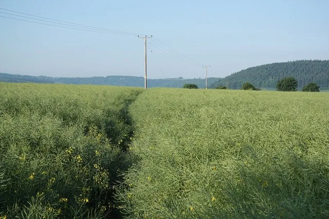
Ariconium
Ariconium — Ariconium was a road station of Roman Britain mentioned in Iter XIII of the Iter Britanniarum of the Antonine Itineraries. It was located at Bury Hill.
 📷 5
📷 5Hill forts · West Midlands
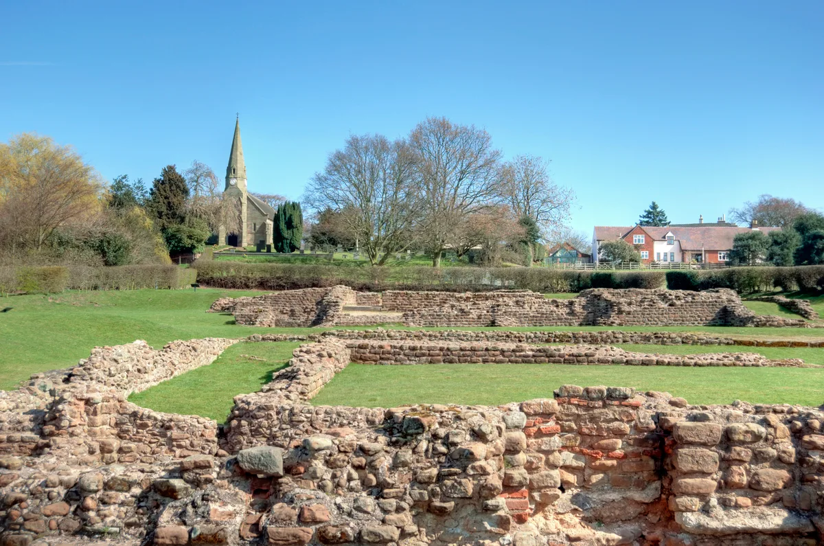
Letocetum
Letocetum is a hill fort in the United Kingdom.
 📷 3
📷 3Hill forts · West Midlands
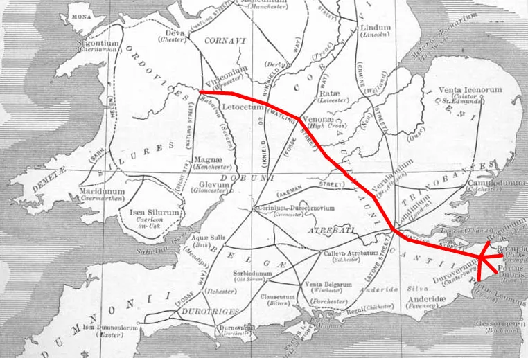
Manduessedum
Manduessedum — archaeological site in Warwickshire, West Midlands, England, UK.
 📷 3
📷 3Hill forts · West Midlands
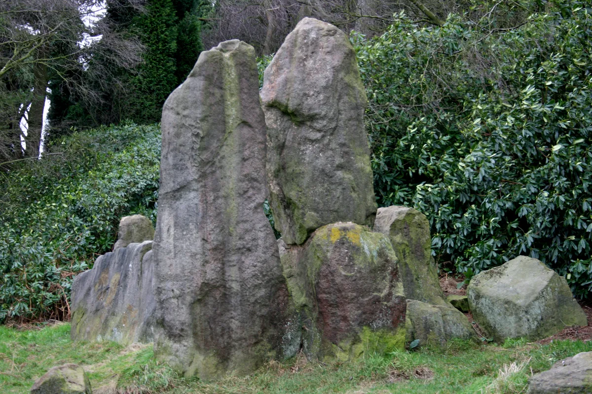
The Bridestones
The Bridestones — burial chamber in Cheshire, England, UK.
Frequently asked questions
- Where is Pennocrucium?
- Pennocrucium is in Staffordshire, the West Midlands, United Kingdom (postcode ST19 5QB), in the parish of Lapley, Stretton and Wheaton Aston.
- What is Pennocrucium?
- Pennocrucium — archaeological site in Penkridge, South Staffordshire, England, UK.
- How do I get to Pennocrucium?
- The nearest railway station is Penkridge, about 3.7 km away. The nearest town is Huntington. Drivers can use postcode ST19 5QB.
- Is Pennocrucium free to visit?
- Yes, Pennocrucium is free to enter.
- How do I get to Pennocrucium?
- The nearest railway station is Penkridge, about 3.7 km away. Drivers can navigate to postcode ST19 5QB.