
Archaeological sites · West Midlands
Eaton House Fort
In or near Huntington.
Eaton House Fort — a archaeological in england-west-midlands, United Kingdom.

Richard Law — CC BY-SA 2.0 via Wikimedia Commons licence

Plan your visit
- Typical visit
- 45 min–1.5 h
- Nearest railway station
- Penkridge · 3.8 km
- Free entry
- Dog-friendly
About
Eaton House Fort is a archaeological located in england-west-midlands, United Kingdom. Sourced from OpenStreetMap (ODbL licence); see local listings for visitor information, opening hours and admission details.
Photo gallery
Place summary
Eaton House Fort is an archaeological site located in the West Midlands. It features remnants of a fortification, indicative of its historical significance in the region. The site provides insights into the area's ancient past and its strategic importance.
AI-generated from the structured facts on this page (operator, designation, listing, era). Not a substitute for visiting.
- Coordinates
- 52.6929, -2.1420
- County
- Staffordshire
- District
- South Staffordshire
- Parish
- Brewood and Coven
- Postcode
- ST19 5PN
- Parliamentary constituency
- Stone, Great Wyrley and Penkridge
- Nearest railway station
- Penkridge — 3.8 km
Sources
- osm: way/606856421 (ODbL)
Other places nearby
Pennocrucium
Hill forts · 0.2 km

Pennocrucium Roman Fort
Archaeological sites · 0.3 km

Gailey
Villages · 0.7 km
Stretton Mill Roman Fort
Archaeological sites · 0.9 km

Watling Street
Historic bridges · 0.9 km
Stretton Bridge Over River Penk
Historic bridges · 0.9 km

Kinvaston Roman Vexilliation Fortress
Archaeological sites · 1.0 km

Rodbaston Animal Zone
Zoos & aquariums · 1.6 km

Somerford Bridge
Historic bridges · 1.7 km

Stretton
Villages · 1.8 km
The Rural Enterprise Academy
Natural landmarks · 2.0 km

Bridge Over Brantley Pool
Historic bridges · 2.2 km
Nearby
📷 3Hill forts · West Midlands
Pennocrucium
Pennocrucium — archaeological site in Penkridge, South Staffordshire, England, UK.
📷 3Archaeological sites · West Midlands
Pennocrucium Roman Fort
Pennocrucium Roman Fort — a archaeological in england-west-midlands, United Kingdom.
📷 5📷 3Archaeological sites · West Midlands
Stretton Mill Roman Fort
Stretton Mill Roman Fort — a archaeological in england-west-midlands, United Kingdom.
📷 5Historic bridges · West Midlands
Watling Street
Watling Street is a historic bridge in the United Kingdom.
📷 3Historic bridges · West Midlands
Stretton Bridge Over River Penk
Stretton Bridge Over River Penk — Grade II listed building-listed bridge in england-west-midlands, United Kingdom.
Where to eat & stay near Eaton House Fort
Places to stay
 📷 5
📷 5Campsites · West Midlands
Spring Slade Lodge
Spring Slade Lodge — a campsite in england west midlands.
 📷 5
📷 5Caravan parks · West Midlands
Red Lion Farm Caravan Park
Red Lion Farm Caravan Park — a caravan park in england west midlands.
 📷 5
📷 5Caravan parks · West Midlands
Tackeroo Caravan Site
Tackeroo Caravan Site — a caravan park in england west midlands.
 📷 5
📷 5 📷 5
📷 5 📷 5
📷 5Caravan parks · West Midlands
Silvertrees Caravan Park
Silvertrees Caravan Park — a caravan park in england east midlands.
Places to eat & drink
 📷 7
📷 7Historic pubs · West Midlands
The Littleton Arms
The Littleton Arms in England West Midlands, United Kingdom.
 📷 7
📷 7 📷 5
📷 5Historic pubs · West Midlands
Crystal Fountain Public House
Crystal Fountain Public House in England West Midlands, United Kingdom.
 📷 5
📷 5Historic pubs · West Midlands
Codsall Station
Codsall Station — Historic pub — listed building or notable heritage status.
 📷 5
📷 5Historic pubs · West Midlands
Hail to the Ale
Hail to the Ale in England West Midlands, United Kingdom.
%2C_35_Lichfield_Road%2C_Wednesfield_-_geograph.org.uk_-_2752683.jpg?width=1200) 📷 3
📷 3Historic pubs · West Midlands
The Vine
The Vine — Historic pub — listed building or notable heritage status.
More archaeological sites in this region
 📷 3
📷 3Archaeological sites · West Midlands
Oakedge Hall
Oakedge Hall — a archaeological in england-east-midlands, United Kingdom.
.jpg?width=1200) 📷 3
📷 3Archaeological sites · West Midlands
Hales Roman Villa
Hales Roman Villa — archaeological site in Loggerheads, Newcastle-under-Lyme, England, UK.
 📷 3
📷 3Archaeological sites · West Midlands
Heart of England Forest
Heart of England Forest — UK non-governmental organization.
 📷 3
📷 3Archaeological sites · West Midlands
Holly Wood
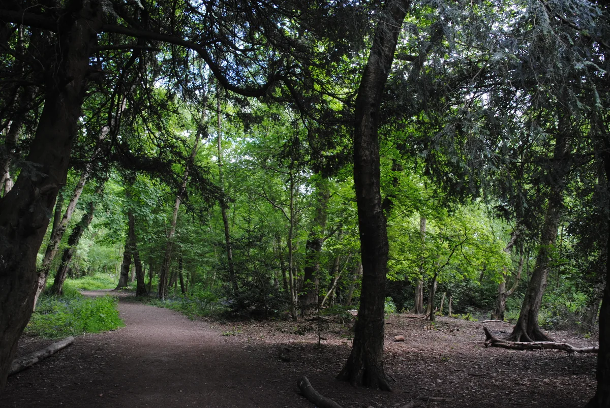
Holly Wood — woodland nature reserve in Sandwell, England.
Frequently asked questions
- Where is Eaton House Fort?
- Eaton House Fort is in Staffordshire, the West Midlands, United Kingdom (postcode ST19 5PN), in the parish of Brewood and Coven.
- What is Eaton House Fort?
- Eaton House Fort — a archaeological in england-west-midlands, United Kingdom.
- How do I get to Eaton House Fort?
- The nearest railway station is Penkridge, about 3.8 km away. Drivers can use postcode ST19 5PN.
- Is Eaton House Fort free to visit?
- Yes, Eaton House Fort is free to enter.
- How do I get to Eaton House Fort?
- The nearest railway station is Penkridge, about 3.8 km away. Drivers can navigate to postcode ST19 5PN.