
Beaches · South Wales
Pendine Sands
Also known as: Traeth Pentywyn
Pendine Sands — beach in Carmarthenshire, Wales.

Wikimedia Commons contributors — see linked file page for photographer and licence licence

Plan your visit
- Typical visit
- 1 h–3 h
- Best time of year
- Summer (Jun–Aug)
- Nearest railway station
- Ferryside · 9.7 km
- Free entry
- Family-friendly
- Dog-friendly
Getting there & planning your visit
To visit Pendine Sands, the nearest railway station is Ferryside, which is 9.7 km away. The postcode for sat-nav is SA33 4RS. Entry to the beach is free.
About
Pendine Sands is a named beach on the United Kingdom coastline. Wikidata describes it as: "beach in Carmarthenshire, Wales". Coordinates: 51.7325°, -4.4975°.
Photo gallery
From the Wikipedia article
Pendine Sands (Welsh: Traeth Pentywyn) is a 7-mile (11 km) beach on the shores of Carmarthen Bay on the south coast of Wales. It stretches west to east from Gilman Point to Laugharne Sands. The village of Pendine (Welsh: Pentywyn) is close to the western end of the beach. In the early 1900s the sands were used as a venue for car and motor cycle races. From 1922 the annual Welsh TT motor cycle event was held here. The firm, flat surface of the beach created a race track that was straighter and smoother than many major roads of the time. Motor Cycle magazine described the sands as "the finest natural speedway imaginable".
Excerpt from Wikipedia under CC BY-SA 4.0. See the source article linked in Sources below.
Background
Visiting
The Ministry of Defence (MOD) acquired Pendine Sands during the Second World War and used it as a firing range. The beach is still owned by the Ministry of Defence; prominent signs warn of the dangers of unexploded munitions and public access is restricted. From Monday to Friday part of the beach is closed off because of MOD operations. Between 9 July 2004 and May 2010 all vehicles were banned from using Pendine because of safety concerns, but since May 2010 cars have again been allowed access. claimed the world's largest stop motion film set for Gulp, a short film. The beach was used as a 'canvas' with some props and characters sculpted from the sand. The film was captured using Nokia N8,…
Sourced from Wikipedia under CC BY-SA 4.0.
- Coordinates
- 51.7325, -4.4975
- District
- Carmarthenshire
- Parish
- Laugharne Township
- Postcode
- SA33 4RS
- Parliamentary constituency
- Caerfyrddin
- Nearest railway station
- Ferryside — 9.7 km
Sources
- wikidata: Q1800335 (CC0)
- wikipedia: Pendine Sands (CC BY-SA 4.0)
- commons: Pendine Sands in September 2008.jpg (CC BY-SA 4.0)
Other places nearby

Pendine
Beaches · 0.8 km

Laugharne
Campsites · 2.3 km

Coygan Cave
Archaeological sites · 2.5 km

Coygan Camp
Vineyards · 2.6 km

Llansadurnen
Villages · 3.6 km

Church of St Sadwrnen
Historic churches · 3.6 km

Wales Coast Path
Long-distance walking trails · 3.6 km

Parc Cynog
Vineyards · 3.8 km

Pendine Sands Holiday Park
Caravan parks · 3.8 km

Pant-Glas Camp
Vineyards · 3.9 km

Roche Castle
Literary houses · 3.9 km
Parc-y-Gaer, Colston
Vineyards · 3.9 km
Nearby
📷 3📷 5📷 3Archaeological sites · South Wales
Coygan Cave
Coygan Cave — cave and archaeological site in the United Kingdom.
📷 5Vineyards · South Wales
Coygan Camp
Coygan Camp — a UK vineyard in wales south, producing English or Welsh wine from cool-climate grape varieties.
📷 5📷 5Historic churches · South Wales
Church of St Sadwrnen
Church of St Sadwrnen — Grade II listed building-listed church in wales-south, United Kingdom.
Where to eat & stay near Pendine Sands
Places to stay
📷 5📷 4Caravan parks · South Wales
Pendine Sands Holiday Park
Pendine Sands Holiday Park — a caravan park in wales south.
 📷 5
📷 5Caravan parks · South Wales
Pendine Sands Holiday Park
Pendine Sands Holiday Park — a caravan park in wales south. Brand: Parkdean Resorts.
 📷 5
📷 5Campsites · South Wales
Ants Hill Caravan Park (camp site)
Ants Hill Caravan Park (camp site) — a campsite in wales south.
📷 5Caravan parks · South Wales
Ants Hill Caravan Park
Ants Hill Caravan Park — a caravan park in wales south.
 📷 5
📷 5Places to eat & drink
 📷 7
📷 7Restaurants · South Wales
The Stone Crab
The Stone Crab — a restaurant in wales south.
 📷 7
📷 7 📷 3
📷 3 📷 3
📷 3More beaches in this region
 📷 3
📷 3Beaches · South Wales
ABCC Meeting Point
ABCC Meeting Point is a beach in the United Kingdom.
 📷 3
📷 3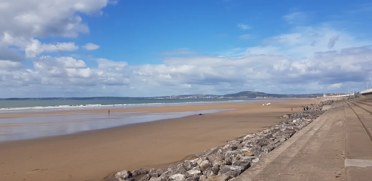 📷 4
📷 4Beaches · South Wales
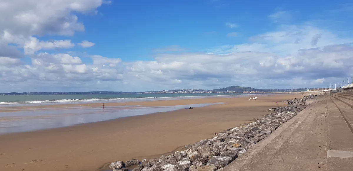
Aberavon Beach
Aberavon Beach is a beach in the United Kingdom.
 📷 4
📷 4Frequently asked questions
- Where is Pendine Sands?
- Pendine Sands is in South Wales, United Kingdom (postcode SA33 4RS), in the parish of Laugharne Township.
- What is Pendine Sands?
- Pendine Sands — beach in Carmarthenshire, Wales.
- How do I get to Pendine Sands?
- The nearest railway station is Ferryside, about 9.7 km away. Drivers can use postcode SA33 4RS.
- Is Pendine Sands free to visit?
- Yes, Pendine Sands is free to enter.
- How do I get to Pendine Sands?
- Drivers can navigate to postcode SA33 4RS. It sits within the Caerfyrddin parliamentary constituency.