
Villages · South West England
Pawlett
In or near Bawdrip.
Pawlett — a village in england south west.

Neil Owen — CC BY-SA 2.0 via Wikimedia Commons licence

Plan your visit
- Typical visit
- 1 h–2 h
- Nearest railway station
- Highbridge and Burnham · 4.7 km
About
A British village — settlements of this size traditionally cluster a green, parish church, pub and post office around historic land routes.
Photo gallery
Protected designations
- Site of Special Scientific Interest: Bridgwater Bay SSSI
- National Nature Reserve: SOMERSET WETLANDS
- Ramsar wetland: Severn Estuary
Designations sourced from Natural England open data under OGL v3.
Place summary
Pawlett is a village located in South-West England, with a population of 892. It features typical rural architecture and community amenities. The village is representative of the small settlements found throughout the region. Visitors can expect a quiet atmosphere and a glimpse of local life in this part of the country.
AI-generated from the structured facts on this page (operator, designation, listing, era). Not a substitute for visiting.
- Coordinates
- 51.1802, -3.0024
- District
- Somerset
- Parish
- Pawlett
- Postcode
- TA6 4RY
- Parliamentary constituency
- Bridgwater
- Population
- 892
- Nearest railway station
- Highbridge and Burnham — 4.7 km
Sources
- manual: geonames-2640554 (CC BY 4.0)
Other places nearby
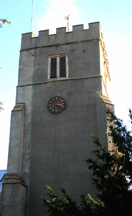
Church of St John the Baptist, Pawlett
Historic churches · 0.2 km

ROC Post Puriton
Archaeological sites · 0.9 km

Down End Castle
Castles · 1.6 km

Pawlett Barrage Balloon Hanger
Archaeological sites · 1.6 km

Down End Castle
Literary houses · 1.7 km

Caput Montis
Archaeological sites · 1.7 km
Chisley Mount
Castles · 1.7 km

Dunball
Castles · 2.2 km

Puriton
Castles · 2.2 km
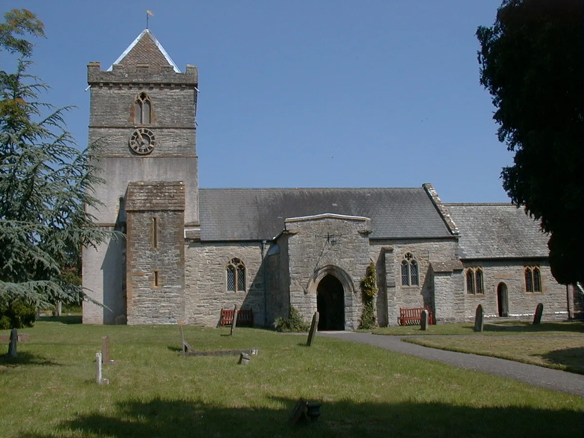
Church of St Michael and All Angels, Puriton
Historic churches · 2.3 km

River Cary
Castles · 2.3 km

West Huntspill War Memorial
Memorials & monuments · 2.7 km
Nearby
📷 5Historic churches · South West England
Church of St John the Baptist, Pawlett
Church of St John the Baptist, Pawlett — church in Pawlett, Somerset, England, UK.
📷 3Archaeological sites · South West England
ROC Post Puriton
ROC Post Puriton — an archaeological site in South West England, United Kingdom.
📷 5Castles · South West England
Down End Castle
Down End Castle, also known as Downend Castle, Chisley Mount or Chidley Mount, was a motte-and-bailey castle at Down End, north of Dunball in the parish of Puriton, Somerset, England. It has been des
📷 3Archaeological sites · South West England
Pawlett Barrage Balloon Hanger
Pawlett Barrage Balloon Hanger — an archaeological site in South West England, United Kingdom.
📷 5Literary houses · South West England
Down End Castle
Down End Castle — a literary house museum in england south west.
📷 3Archaeological sites · South West England
Caput Montis
Caput Montis — an archaeological site in South West England, United Kingdom.
Where to eat & stay near Pawlett
Places to stay
 📷 5
Caravan parks · South West England
Withy Water Caravan Park
Withy Water Caravan Park — a caravan park in england south west.
 📷 5
 📷 5
Caravan parks · South West England
Haven Burnham-on-Sea Holiday Village
Haven Burnham-on-Sea Holiday Village — a caravan park in england south west.
 📷 5
Caravan parks · South West England
Fairways Holiday Park
Fairways Holiday Park — a caravan park in england south west.
 📷 7
Hotels · South West England
The Tudor Hotel & Restaurant
The Tudor Hotel & Restaurant — a hotel in england south west.
 📷 3
Caravan parks · South West England
Cripps Farm Holidays
Cripps Farm Holidays — a caravan park in england south west.
Places to eat & drink
 📷 6
Historic pubs · South West England
Cobblestones Public House
Cobblestones Public House in England South West, United Kingdom.
 📷 5
Restaurants · South West England
English Raj Tandoori Restaurant
English Raj Tandoori Restaurant — a restaurant in england south west. Cuisine: indian. 5-star.
 📷 7
Historic pubs · South West England
Quantock Gateway Hotel
Quantock Gateway Hotel in England South West, United Kingdom.
 📷 5
 📷 7
Historic pubs · South West England
King William Inn
King William Inn in England South West, United Kingdom.
 📷 7
Historic pubs · South West England
King Alfred Public House
King Alfred Public House in England South West, United Kingdom.
More places in this region
 📷 5
 📷 5
 📷 5
 📷 5
Frequently asked questions
- Where is Pawlett?
- Pawlett is in South-West England, United Kingdom (postcode TA6 4RY), in the parish of Pawlett.
- What is Pawlett?
- Pawlett — a village in england south west.
- How do I get to Pawlett?
- The nearest railway station is Highbridge and Burnham, about 4.7 km away. The nearest town is Bawdrip. Drivers can use postcode TA6 4RY.
- Is Pawlett a protected site?
- Yes — Pawlett is part of the Bridgwater Bay SSSI Site of Special Scientific Interest and the SOMERSET WETLANDS National Nature Reserve.
- How do I get to Pawlett?
- The nearest railway station is Highbridge and Burnham, about 4.7 km away. Drivers can navigate to postcode TA6 4RY.