
Mountains & hills · Scottish Highlands
Pass of Drumochter
Also known as: Bealach Druim Uachdair, Druim Uachdar
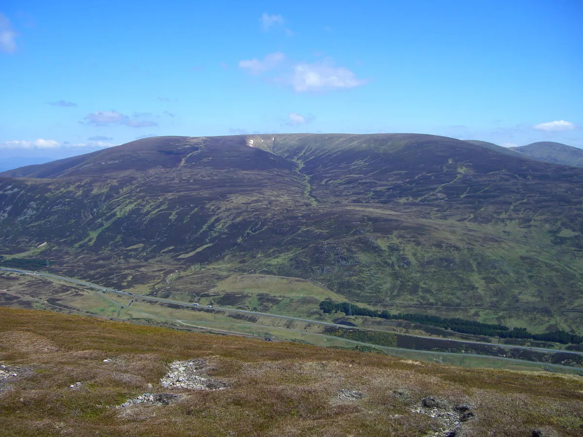
Pass of Drumochter in Scotland Islands, United Kingdom.

Dave Thompson — CC BY-SA 2.0 via Wikimedia Commons licence

Plan your visit
- Typical visit
- 3 h–8 h
- Best time of year
- Late spring – early autumn (May–Oct)
- Nearest railway station
- Dalwhinnie · 8.4 km
- Free entry
- Dog-friendly
Getting there & planning your visit
To visit the Pass of Drumochter, the nearest railway station is Dalwhinnie, located 8.4 km away. Entry is free.
About
Pass of Drumochter is a place of interest in Scotland Islands, United Kingdom — drawn from open-data sources for visitor reference. See the linked Wikipedia article for the full description.
Photo gallery
360° viewimagery from 2025
Imagery © Mapillary contributors, CC BY-SA 4.0
From the Wikipedia article
The Pass of Drumochter (Scottish Gaelic: Druim Uachdair) meaning simply 'high ridge' is the main mountain pass between the northern and southern central Scottish Highlands. The A9 road passes through here, as does the Highland Main Line, the railway between Inverness and the south of Scotland. The Sustrans National Cycle Route 7 between Glasgow and Inverness also runs through the pass. The pass is the only gap in the main Grampian Watershed suitable for road traffic routes for almost 100 km, between Glen Coe (west) and Cairnwell Pass (east); the West Highland Railway is the only other crossing, at Corrour. The pass is a natural low point, where the headwaters of the Spey and Tay penetrate most deeply into the broad Gaick Plateau, with the River Garry flowing south, and the River Truim north. The gap has been shaped into a "U" convenient for a transport corridor by glacial action over successive ice ages, although Loch Ericht just to the west is a much larger glacial breach. The route through the pass has been used since prehistoric times. A military road built between 1728 and 1730 by General Wade came through here. It is the high point on the A9, at 460 m (1508 ft), and in winter can be subject to severe weather conditions. There are routine winter patrols from November to March, and the road is occasionally closed with snow gates near Dalwhinnie and Dalnacardoch. The summit of the railway line is 452 m (1480 ft), making it the highest in the UK. It has been used by the RAF as a training route for low level flying, now less frequently. It is isolated, and the nearest settlement of any size is the small village of Dalwhinnie, some 10 km (6 mi) to the north. The summit of the pass marks the boundary between Perth and Kinross and the Highland Council area. A sign at this point says "Welcome to the Highlands/Fàilte don Ghàidhealtachd", although this is the boundary for the authority rather than for the Scottish Highlands which extend south to the geological Highland…
Excerpt from Wikipedia under CC BY-SA 4.0. See the source article linked in Sources below.
- Coordinates
- 56.8596, -4.2486
- Nearest railway station
- Dalwhinnie — 8.4 km
Sources
- wikidata: Q7142417 (CC0)
- wikipedia: Pass of Drumochter (CC BY-SA 4.0)
Featured in this guide
Other places nearby
River Truim
Distilleries · 0.2 km

Creagan Doire Dhonaich
Mountains & hills · 0.7 km

An Torc
Mountains & hills · 0.9 km

Meall a' Chaorruinn
Mountains & hills · 2.0 km
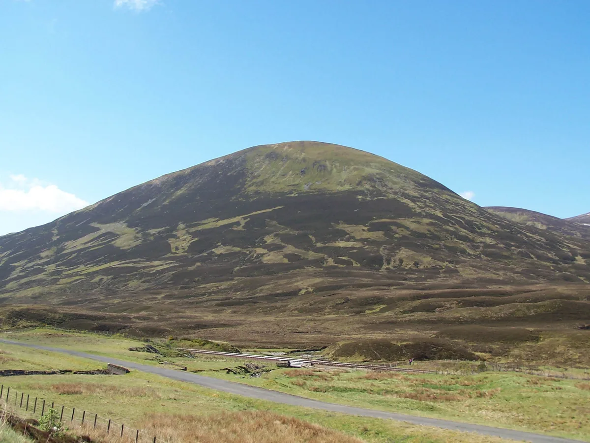
The Sow of Atholl
Mountains & hills · 2.4 km

Meall an Dobharchain
Mountains & hills · 2.4 km
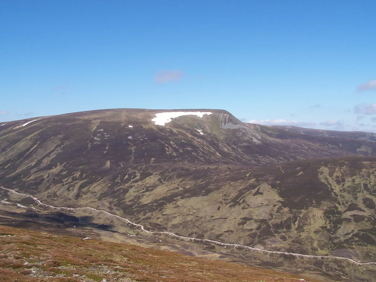
A' Mharconaich
Mountains & hills · 2.5 km
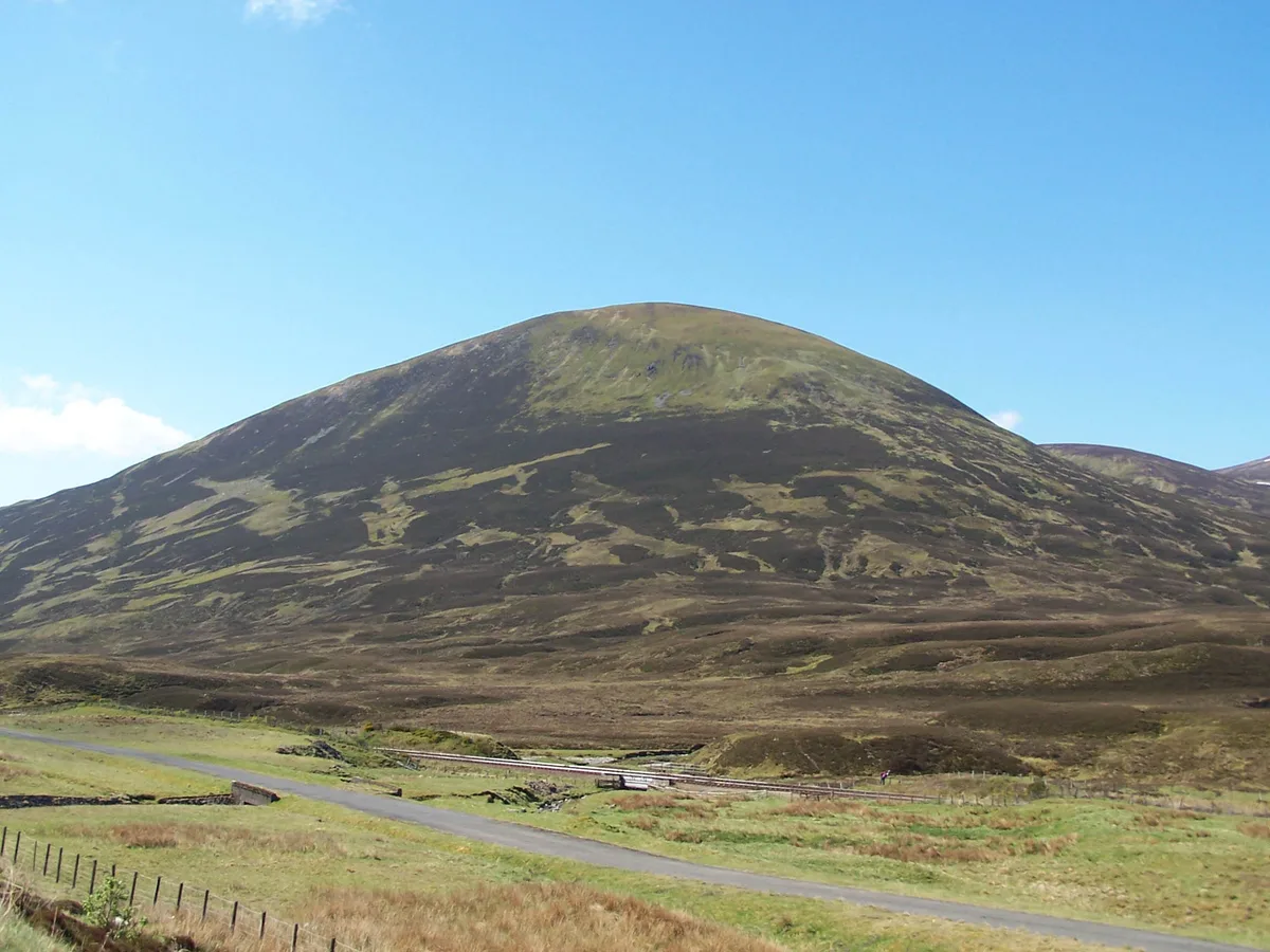
The Sow of Atholl
Natural landmarks · 2.6 km
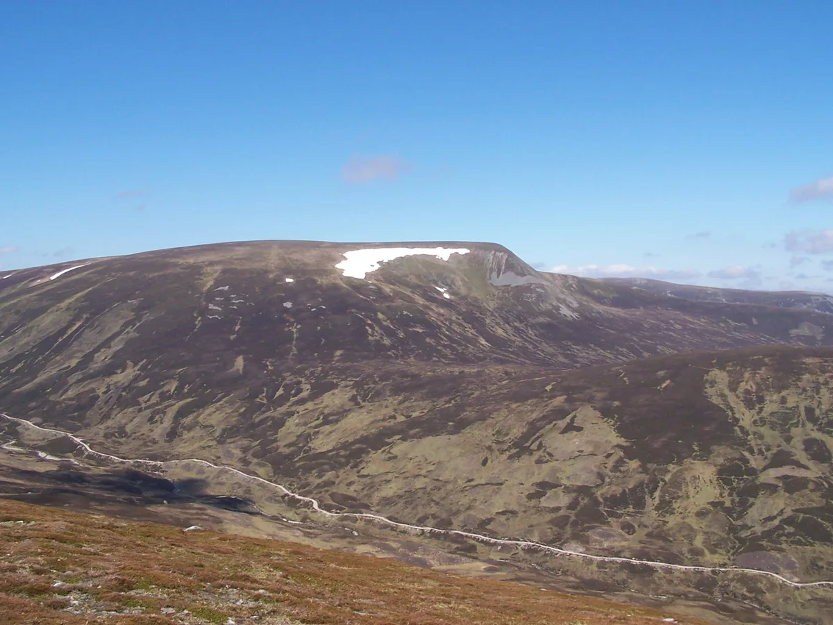
A' Mharconaich
Natural landmarks · 2.6 km
A' Bhuidheanach Bheag
Natural landmarks · 3.2 km

A' Bhuidheanach Bheag
Mountains & hills · 3.3 km

Dalnaspidal railway station
Mountains & hills · 3.4 km
Nearby
📷 4📷 5Mountains & hills · Scottish Highlands
Creagan Doire Dhonaich
Creagan Doire Dhonaich — mountain in scotland highlands. Elevation: 721 m.
📷 2Mountains & hills · Scottish Highlands
An Torc
An Torc — a mountain in scotland-highlands, United Kingdom.
📷 5Mountains & hills · Scottish Highlands
Meall a' Chaorruinn
Meall a' Chaorruinn — mountain in scotland highlands. Elevation: 915 m.
📷 3Mountains & hills · Scottish Highlands
The Sow of Atholl
The Sow of Atholl — Named summit at 803 m.
📷 5Mountains & hills · Scottish Highlands
Meall an Dobharchain
Meall an Dobharchain — a hill or mountain in scotland highlands.
Where to eat & stay near Pass of Drumochter
Places to stay
 📷 5
📷 5Hostels · Scottish Highlands
Dalwhinnie Old School Hostel
Dalwhinnie Old School Hostel — a hostel in scotland highlands.
 📷 5
📷 5Hostels · Scottish Highlands
Pottery Bunkhouse
Pottery Bunkhouse — a hostel in scotland highlands.
 📷 5
📷 5Caravan parks · Scottish Highlands
Laggan CL
Laggan CL — a caravan park in scotland highlands.
 📷 5
📷 5Campsites · Scottish Highlands
Tighnavon Glamping Pods
Tighnavon Glamping Pods — a campsite in scotland highlands.
 📷 5
📷 5Campsites · Scottish Highlands
Invernahavon Caravan Site
Invernahavon Caravan Site — a campsite in scotland highlands.
 📷 5
📷 5Campsites · Scottish Highlands
Kilvrecht Caravan & Camping
Kilvrecht Caravan & Camping — a campsite in scotland highlands.
More mountains in this region
📷 3Mountains & hills · Scottish Highlands
A' Bhuidheanach Bheag
A' Bhuidheanach Bheag — Named summit at 936 m.
 📷 3
📷 3Mountains & hills · Scottish Highlands
A' Chailleach
A' Chailleach — Named summit at 997 m.
 📷 3
📷 3Mountains & hills · Scottish Highlands
A' Chailleach
A' Chailleach — Named summit at 930 m.
 📷 3
📷 3Frequently asked questions
- Where is Pass of Drumochter?
- Pass of Drumochter is in the Scottish Highlands, United Kingdom.
- What is Pass of Drumochter?
- Pass of Drumochter in Scotland Islands, United Kingdom.
- How do I get to Pass of Drumochter?
- The nearest railway station is Dalwhinnie, about 8.4 km away. Its coordinates are 56.8596°, -4.2486°.
- Is Pass of Drumochter free to visit?
- Yes, Pass of Drumochter is free to enter.