
Mountains & hills · Scottish Highlands
A' Mharconaich
A' Mharconaich — Named summit at 975 m.

Wikimedia Commons contributors — see linked file page for photographer and licence licence

Plan your visit
- Typical visit
- 3 h–8 h
- Best time of year
- Late spring – early autumn (May–Oct)
- Nearest railway station
- Dalwhinnie · 9.0 km
- Free entry
- Dog-friendly
Getting there & planning your visit
To visit A' Mharconaich in the Scottish Highlands, the nearest railway station is Dalwhinnie, located 9 km away. Entry to the mountain is free. Accessibility details are not provided.
About
A' Mharconaich is a named summit in the United Kingdom. Wikidata describes it as: "Named summit at 975 m.". Coordinates: 56.8577°, -4.2899°.
Photo gallery
360° viewimagery from 2022
Imagery © Mapillary contributors, CC BY-SA 4.0
Official information
A' Mharconaich is a prominent mountain located above the Drumochter Pass, known for its steep northeast face. It stands at an altitude of 975 meters and is part of the Cairngorms region, offering various hiking routes and stunning panoramic views from the summit.
From the Wikipedia article
A' Mharconaich (Scottish Gaelic: A' Mharcanaich) is a mountain near Dalwhinnie in the Scottish Highlands. It is a Munro with a height of 975 metres (3,199 ft). It is in a group of mountains east of Loch Ericht and west of the A9 road and Pass of Drumochter, and are known accordingly as the Drumochter Hills. A' Mharconaich is just within the Cairngorms National Park although it is not part of the Cairngorms mountains.
Excerpt from Wikipedia under CC BY-SA 4.0. See the source article linked in Sources below.
Background
Description
A' Mharconaich is a Munro of height 975 metres (3199 feet). It is well seen by travellers on the A9 to which it shows it more steeper and rugged eastern flanks with a high corrie located just beneath the summit. The mountain's names translates from Gaelic as "the horse place" and dates from a time when horses were a valuable element of the economy of the region: places where horses gathered would be noted and named accordingly. The hill is crossed by the border between Perth and Kinross and Highland areas or in the old day Perthshire and Inverness-shire and is marked by old rusting fence posts which can be used as an aid to navigation when traversing the hill.
Sourced from Wikipedia under CC BY-SA 4.0.
- Coordinates
- 56.8577, -4.2899
- Address
- Badenoch and Strathspey Highland, Scotland
- Nearest railway station
- Dalwhinnie — 9 km
- Official site
- www.walkhighlands.co.uk
Sources
- osm: n273888425 (ODbL)
- wikipedia: A' Mharconaich (CC BY-SA 4.0)
- commons: A Mharconaich from the south.jpg (CC BY-SA 4.0)
Other places nearby
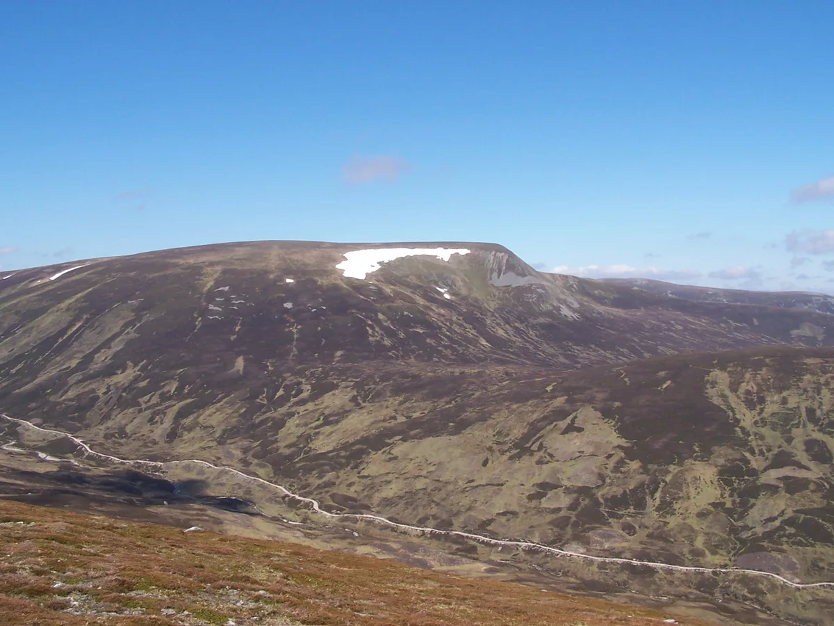
A' Mharconaich
Natural landmarks · 0.1 km

An Torc
Mountains & hills · 1.7 km

Geal-charn
Mountains & hills · 2.1 km
Geal-charn
Mountains & hills · 2.1 km

River Truim
Distilleries · 2.4 km
Pass of Drumochter
Mountains & hills · 2.5 km

Creagan Doire Dhonaich
Mountains & hills · 2.8 km

Meall an Dobharchain
Mountains & hills · 3.0 km
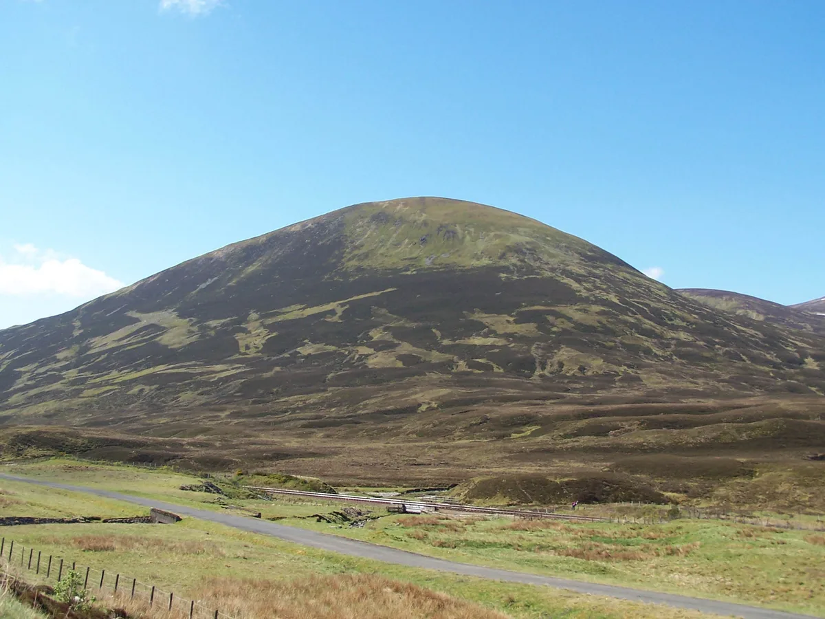
The Sow of Atholl
Mountains & hills · 3.0 km
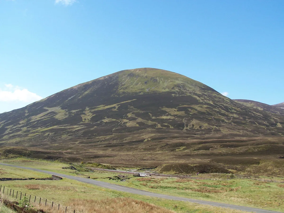
The Sow of Atholl
Natural landmarks · 3.1 km

Sgairneach Mhor
Mountains & hills · 3.3 km
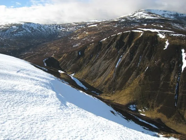
Sgairneach Mhòr
Mountains & hills · 3.3 km
Nearby
📷 3Natural landmarks · Scottish Highlands
A' Mharconaich
A' Mharconaich — 973m high mountain south of Dalwhinnie in Highland, Scotland, UK.
📷 2Mountains & hills · Scottish Highlands
An Torc
An Torc — a mountain in scotland-highlands, United Kingdom.
📷 5Mountains & hills · Scottish Highlands
Geal-charn
Geal-charn — a hill or mountain in scotland highlands.
📷 5Mountains & hills · Scottish Highlands
Geal-charn
Geal-charn — mountain in scotland highlands. Elevation: 917 m.
📷 4📷 4Mountains & hills · Scottish Highlands
Pass of Drumochter
Pass of Drumochter in Scotland Islands, United Kingdom.
Where to eat & stay near A' Mharconaich
Places to stay
 📷 5
📷 5Hostels · Scottish Highlands
Dalwhinnie Old School Hostel
Dalwhinnie Old School Hostel — a hostel in scotland highlands.
 📷 5
📷 5Hostels · Scottish Highlands
Pottery Bunkhouse
Pottery Bunkhouse — a hostel in scotland highlands.
 📷 5
📷 5Caravan parks · Scottish Highlands
Laggan CL
Laggan CL — a caravan park in scotland highlands.
 📷 5
📷 5Campsites · Scottish Highlands
Tighnavon Glamping Pods
Tighnavon Glamping Pods — a campsite in scotland highlands.
 📷 5
📷 5Campsites · Scottish Highlands
Kilvrecht Caravan & Camping
Kilvrecht Caravan & Camping — a campsite in scotland highlands.
 📷 5
📷 5Campsites · Scottish Highlands
Invernahavon Caravan Site
Invernahavon Caravan Site — a campsite in scotland highlands.
More mountains in this region
 📷 3
📷 3Mountains & hills · Scottish Highlands
A' Bhuidheanach Bheag
A' Bhuidheanach Bheag — Named summit at 936 m.
 📷 3
📷 3Mountains & hills · Scottish Highlands
A' Chailleach
A' Chailleach — Named summit at 997 m.
 📷 3
📷 3Mountains & hills · Scottish Highlands
A' Chailleach
A' Chailleach — Named summit at 930 m.
 📷 3
📷 3Frequently asked questions
- Where is A' Mharconaich?
- A' Mharconaich is in the Scottish Highlands, United Kingdom.
- What is A' Mharconaich?
- A' Mharconaich — Named summit at 975 m.
- How do I get to A' Mharconaich?
- The nearest railway station is Dalwhinnie, about 9.0 km away. Its coordinates are 56.8577°, -4.2899°.
- Is A' Mharconaich free to visit?
- Yes, A' Mharconaich is free to enter.